Guides · Yellowstone
Yellowstone
15 places · 3 areas · the first stage free, then $4.99 for the whole city · offline map 7.5 MB
Try it free
The first stage of Yellowstone is free
The map and every stage title are open; the first stage opens with its full guide. Unlock the drive for the rest.
The free first stage
4 of the highlights, 3 days, about 8.9 mi (14 km), planned by the app's own engine and shown here with their guide. In the app you choose your own.
Day 1 · ~8.9 mi (14 km)
1
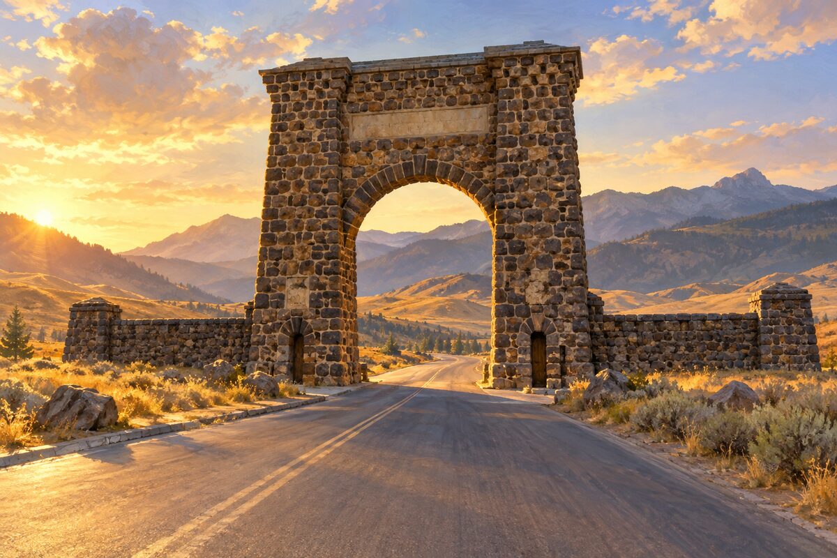
Roosevelt Arch
Gardiner, Montana; 52-foot stone arch at the park's North Entrance
Drive through the arch on the way in, then stop nearby to read the inscription across the top: "For the benefit and enjoyment of the people."
2
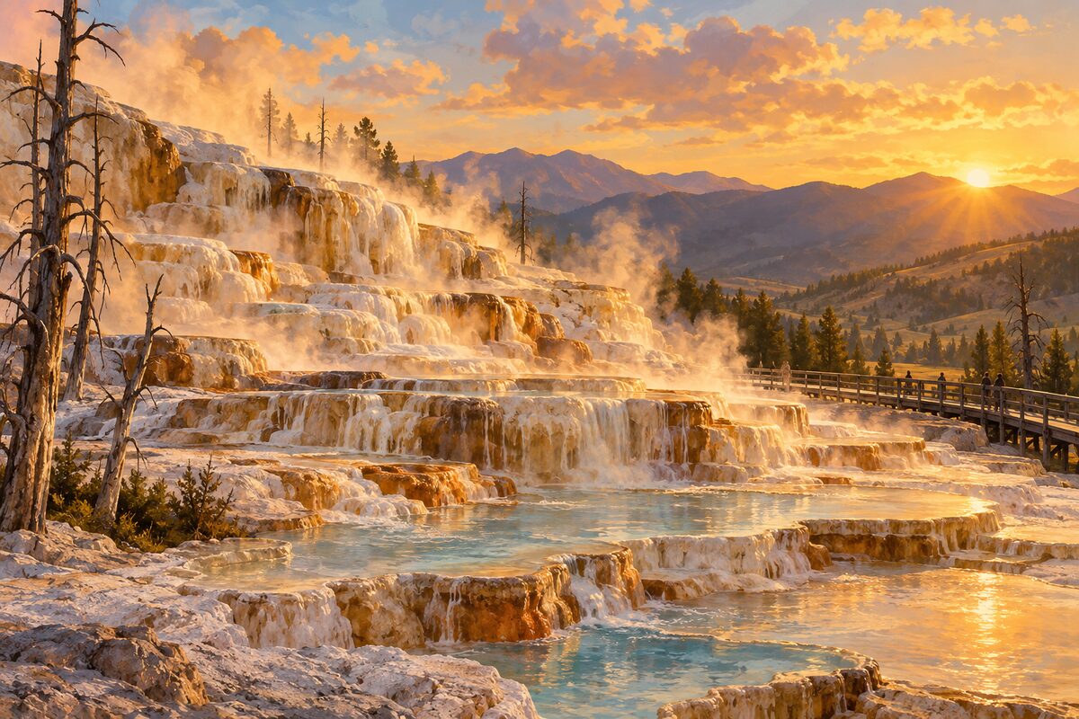
Mammoth Hot Springs
Mammoth; steaming travertine terraces above the red-roofed buildings of Fort Yellowstone
Walk the boardwalks over the Main Terraces, then take the one-way Upper Terrace Drive past Orange Spring Mound; finish with the self-guided walk through Fort Yellowstone.
Day 2 · <0.1 mi (<0.1 km)
1
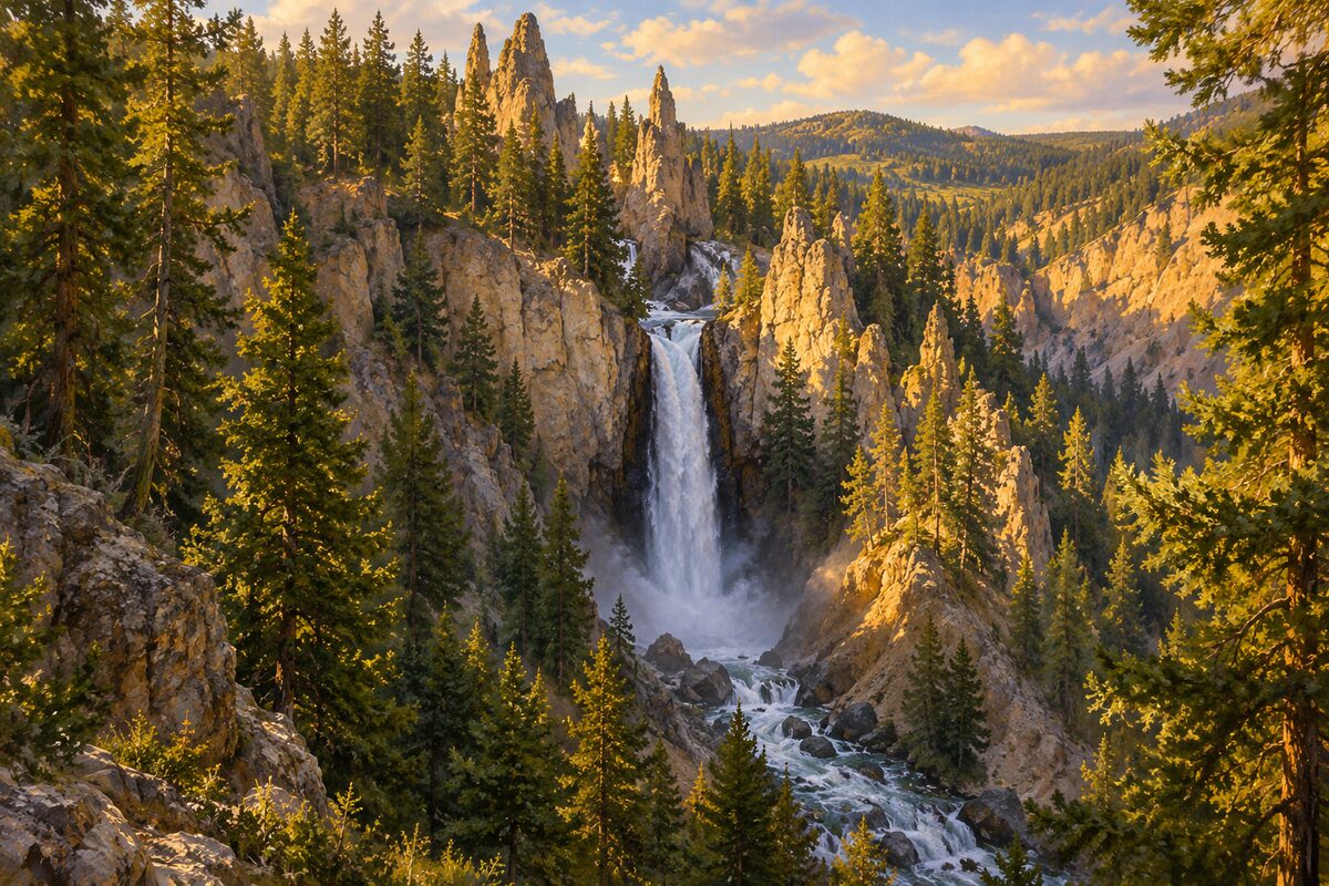
Tower Fall
Tower Creek near Tower Junction; 132-foot fall framed by volcanic pinnacles
Walk the short path from the parking area to the overlook and look for the rock towers rising around the top of the fall.
Day 3 · <0.1 mi (<0.1 km)
1
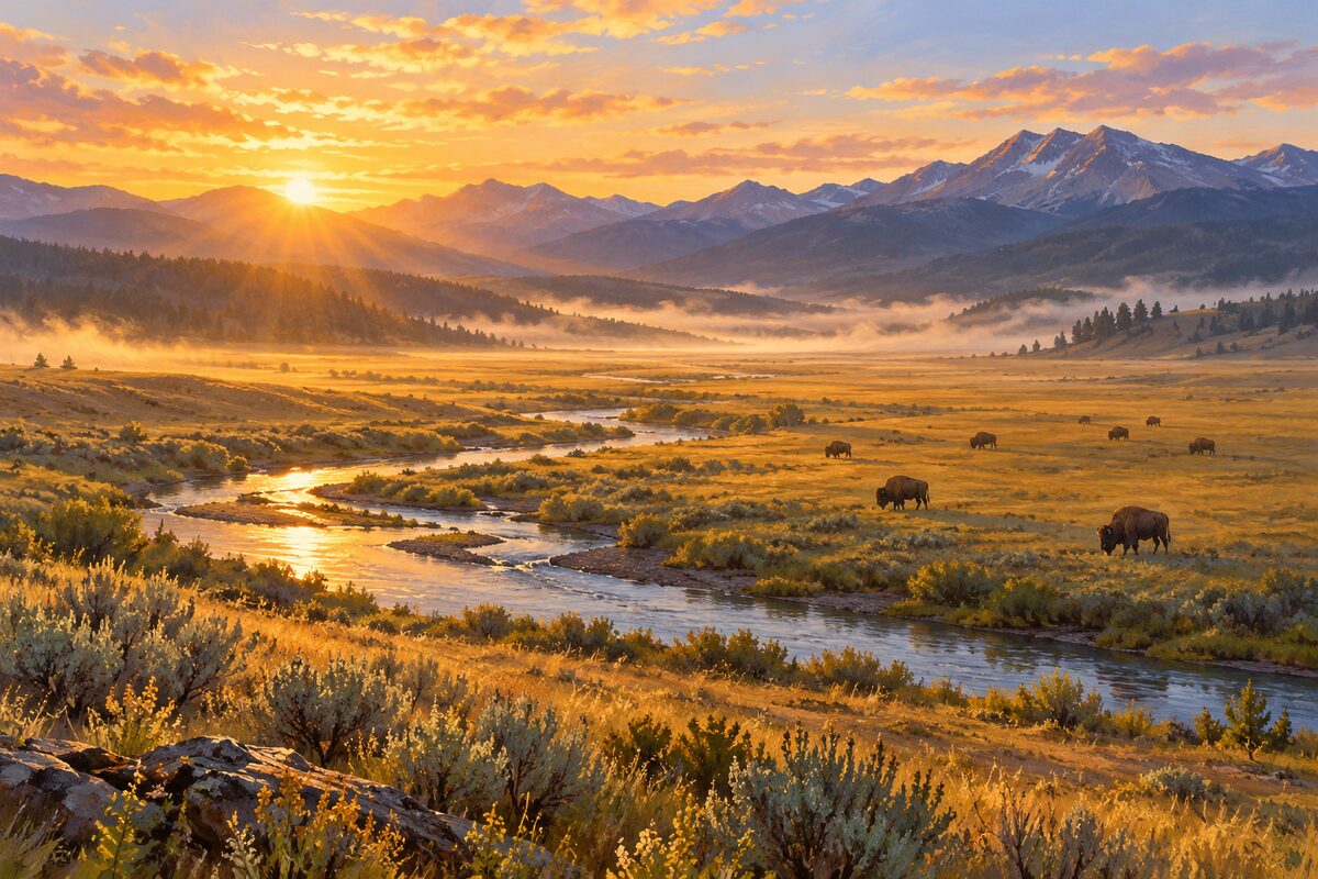
Lamar Valley
northeast Yellowstone; wide valley of the Lamar River, known for bison and wolves
Drive slowly along the river and stop at the pullouts to scan the open slopes for bison, pronghorn and, with binoculars, wolves.
More of the top sights
A few of the 15 places in the full guide. Each one has its own written guide in the app: what to do, what to notice, the history, and why it hits.
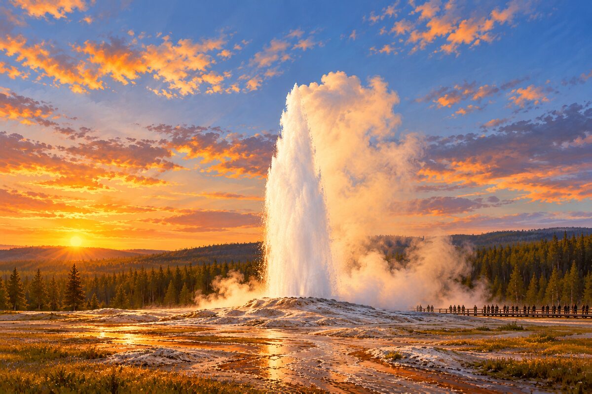
Old Faithful
Upper Geyser Basin; the park's most predictable cone geyser
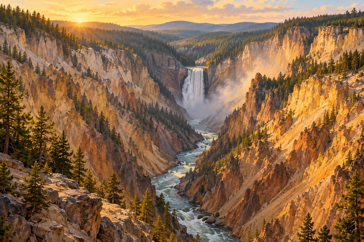
Grand Canyon of the Yellowstone
Canyon Village; yellow-walled canyon of the Yellowstone River with the Upper and Lower Falls
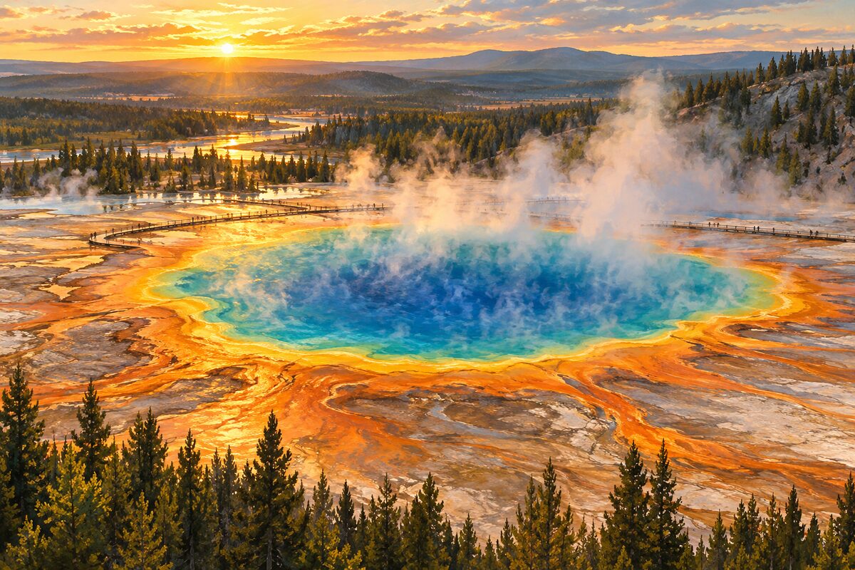
Grand Prismatic Spring
Midway Geyser Basin; Yellowstone's largest hot spring, ringed in orange and green
Areas
North: Mammoth and Lamar · Center: Canyon, Valley and Lake · South and West: Geyser Basins
Illustrations are drawn for the app. Place descriptions are written by hand and checked against a primary source; facts draw on Wikidata (CC0) and Wikipedia (CC BY-SA). Maps © OpenStreetMap contributors.