Guides · Trail Ridge Road
Trail Ridge Road
13 places · 3 areas · the first stage free, then $4.99 for the whole city · offline map 2.1 MB
Try it free
The first stage of Trail Ridge Road is free
The map and every stage title are open; the first stage opens with its full guide. Unlock the drive for the rest.
The free first stage
4 of the highlights, 2 days, about 11.4 mi (18 km), planned by the app's own engine and shown here with their guide. In the app you choose your own.
Day 1 · ~5.3 mi (8.5 km)
1
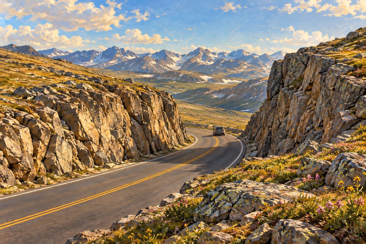
Rock Cut
near the top of Trail Ridge Road; road cut through rock and the start of the Tundra Communities Trail
Walk the paved Tundra Communities Trail, about 1.2 miles round trip from 12,110 feet, past the Mushroom Rocks to the Toll Memorial on the high point.
2
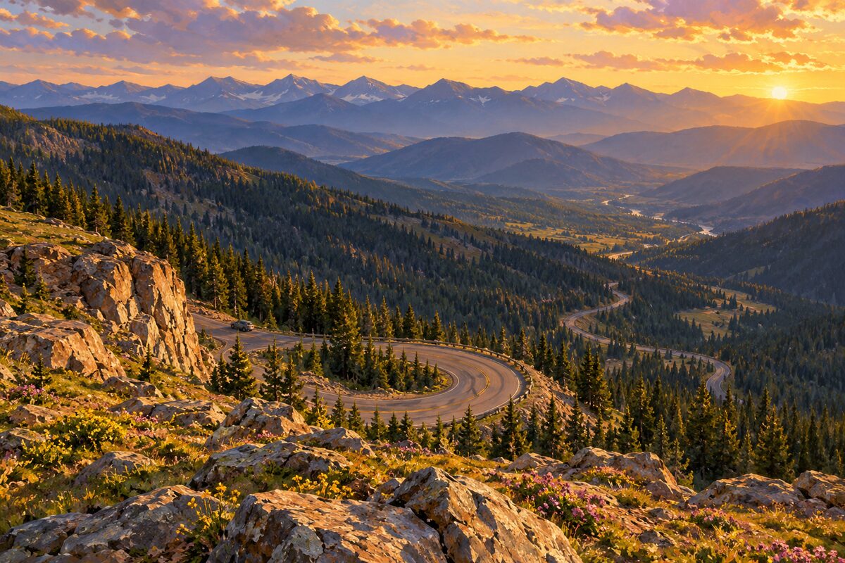
Rainbow Curve
Trail Ridge Road at treeline; high curve above Horseshoe Park and the Alluvial Fan
Get out and look down on Horseshoe Park, Deer Mountain and the pale spread of the Alluvial Fan, with the Mummy Range to the north.
Day 2 · ~6.2 mi (9.9 km)
1
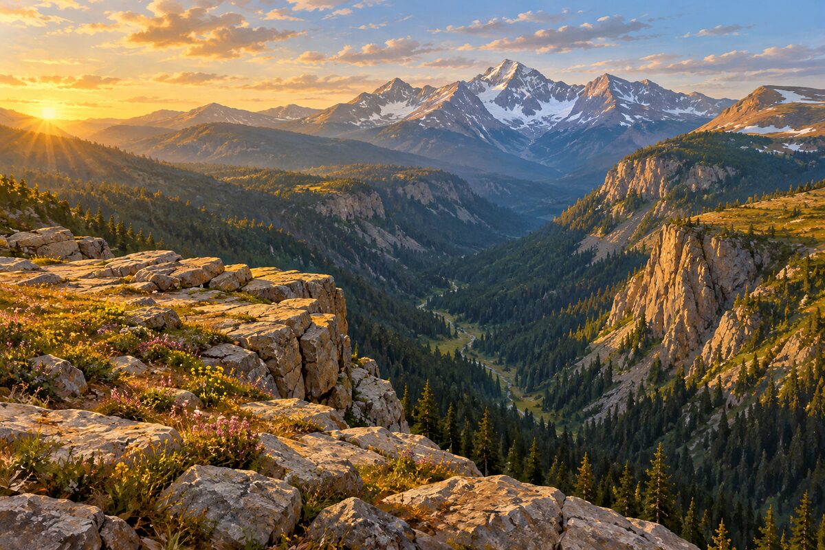
Forest Canyon Overlook
11,716 feet; platform over Forest Canyon, Hayden Gorge and Gorge Lakes
Take the five-minute paved walk to the platform and look down into Forest Canyon and across to Hayden Gorge and Gorge Lakes.
2
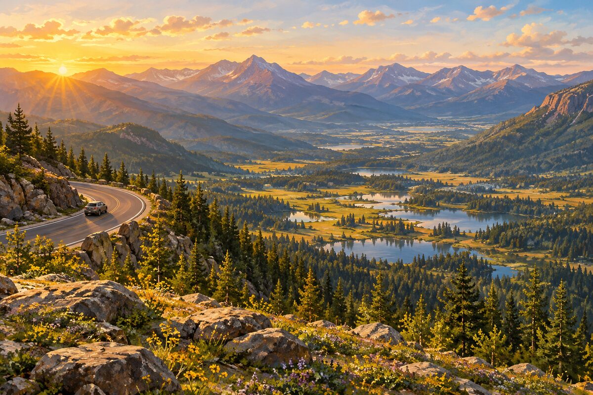
Many Parks Curve
lower Trail Ridge Road; curve overlooking Moraine Park, Upper Beaver Meadows and Horseshoe Park
Stop at the pullout and pick out the "many parks," the mountain meadows of Moraine Park, Upper Beaver Meadows and Horseshoe Park, with Deer Mountain and Longs Peak behind.
More of the top sights
A few of the 13 places in the full guide. Each one has its own written guide in the app: what to do, what to notice, the history, and why it hits.
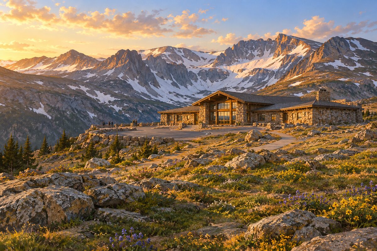
Alpine Visitor Center
Fall River Pass at 11,796 feet; visitor center on the tundra above Fall River Cirque
Areas
East Side: Estes Park and the Climb · Top: Tundra and Fall River Pass · West Side: Kawuneeche Valley and Grand Lake
Illustrations are drawn for the app. Place descriptions are written by hand and checked against a primary source; facts draw on Wikidata (CC0) and Wikipedia (CC BY-SA). Maps © OpenStreetMap contributors.