Guides · Tioga Road - Yosemite
Tioga Road - Yosemite
12 places · 3 areas · the first stage free, then $4.99 for the whole city · offline map 4.1 MB
Try it free
The first stage of Tioga Road - Yosemite is free
The map and every stage title are open; the first stage opens with its full guide. Unlock the drive for the rest.
The free first stage
2 of the highlights, 2 days, about <0.1 mi (<0.1 km), planned by the app's own engine and shown here with their guide. In the app you choose your own.
Day 1 · <0.1 mi (<0.1 km)
1
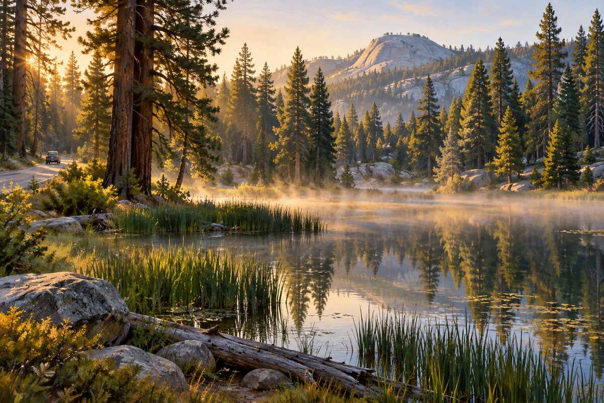
Siesta Lake
about 13 miles east of the Crane Flat gas station; small spring-fed pond beside the road
Pull over for a picnic or a quick swim in the small lake at the roadside, ringed by forest.
Day 2 · <0.1 mi (<0.1 km)
1
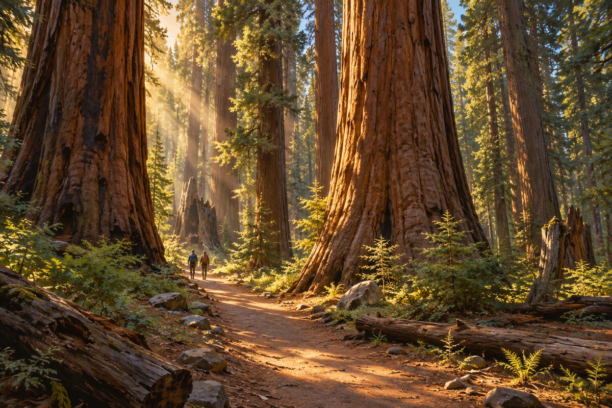
Tuolumne Grove
just off Tioga Road near Crane Flat; trail down the old Big Oak Flat Road to about two dozen giant sequoias
Walk down the old Big Oak Flat Road, now closed to cars, into a grove of about two dozen mature giant sequoias; the round trip is 2.5 miles.
More of the top sights
A few of the 12 places in the full guide. Each one has its own written guide in the app: what to do, what to notice, the history, and why it hits.
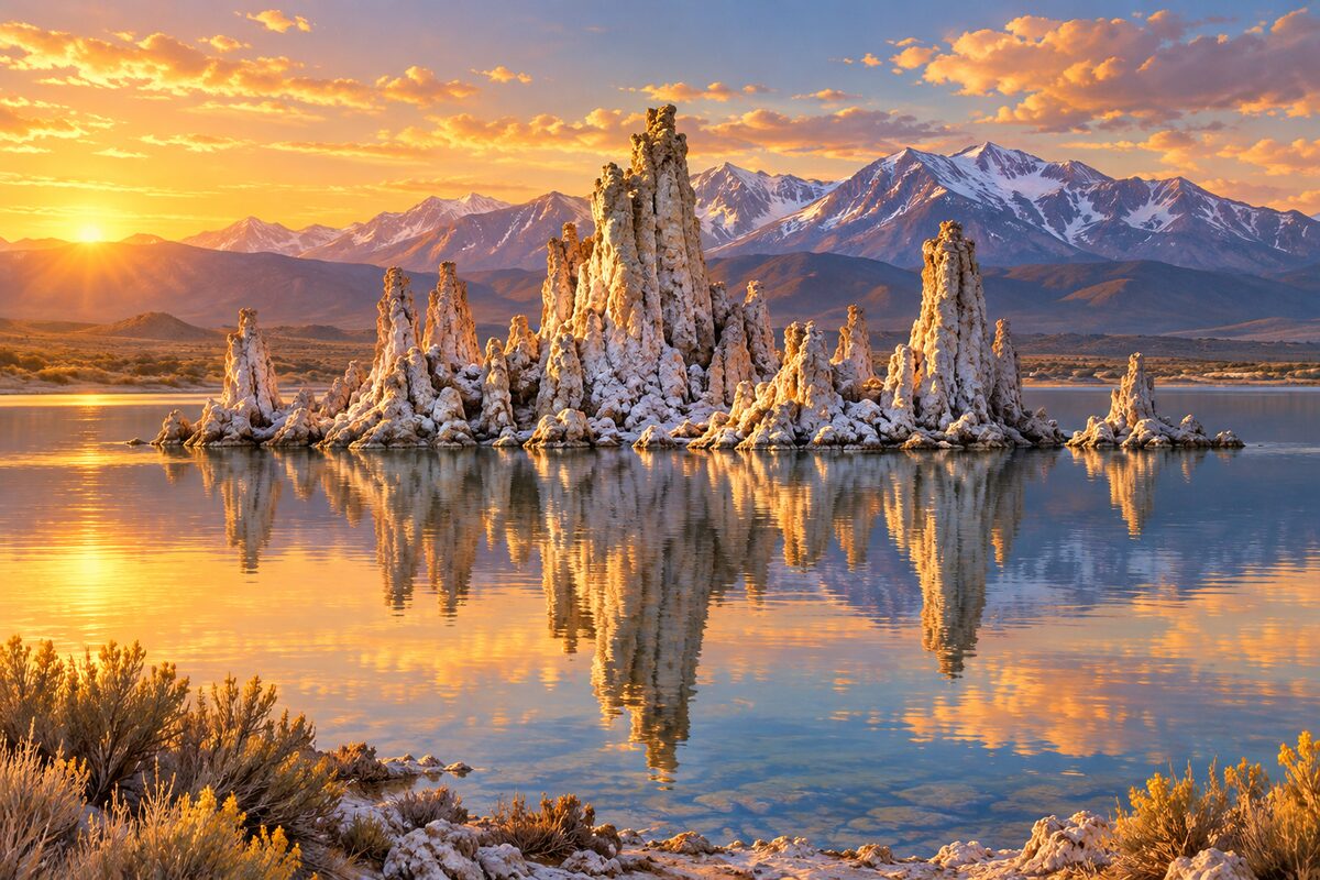
Mono Lake South Tufa
south shore of Mono Lake, east of Lee Vining; limestone towers rising from an ancient salt lake
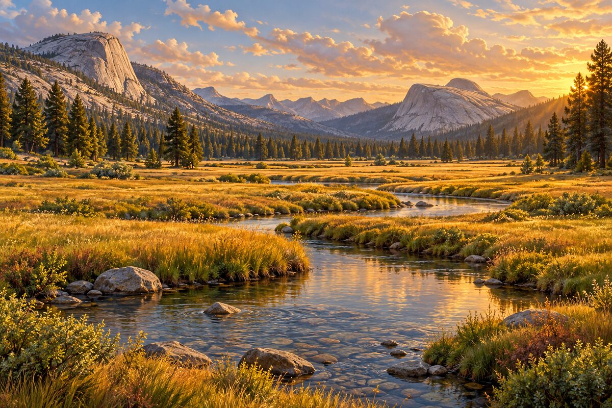
Tuolumne Meadows
about 8,600 feet; one of the largest high meadows in the Sierra Nevada, threaded by the Tuolumne River
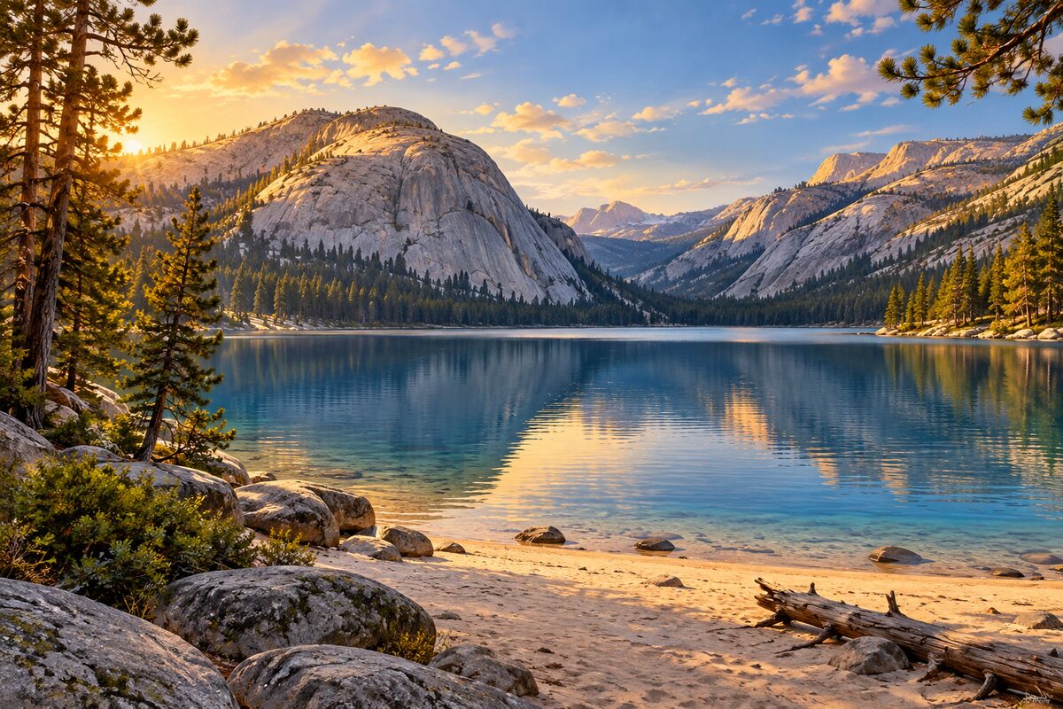
Tenaya Lake
Tioga Road at 8,150 feet; glacier-carved lake ringed by granite domes
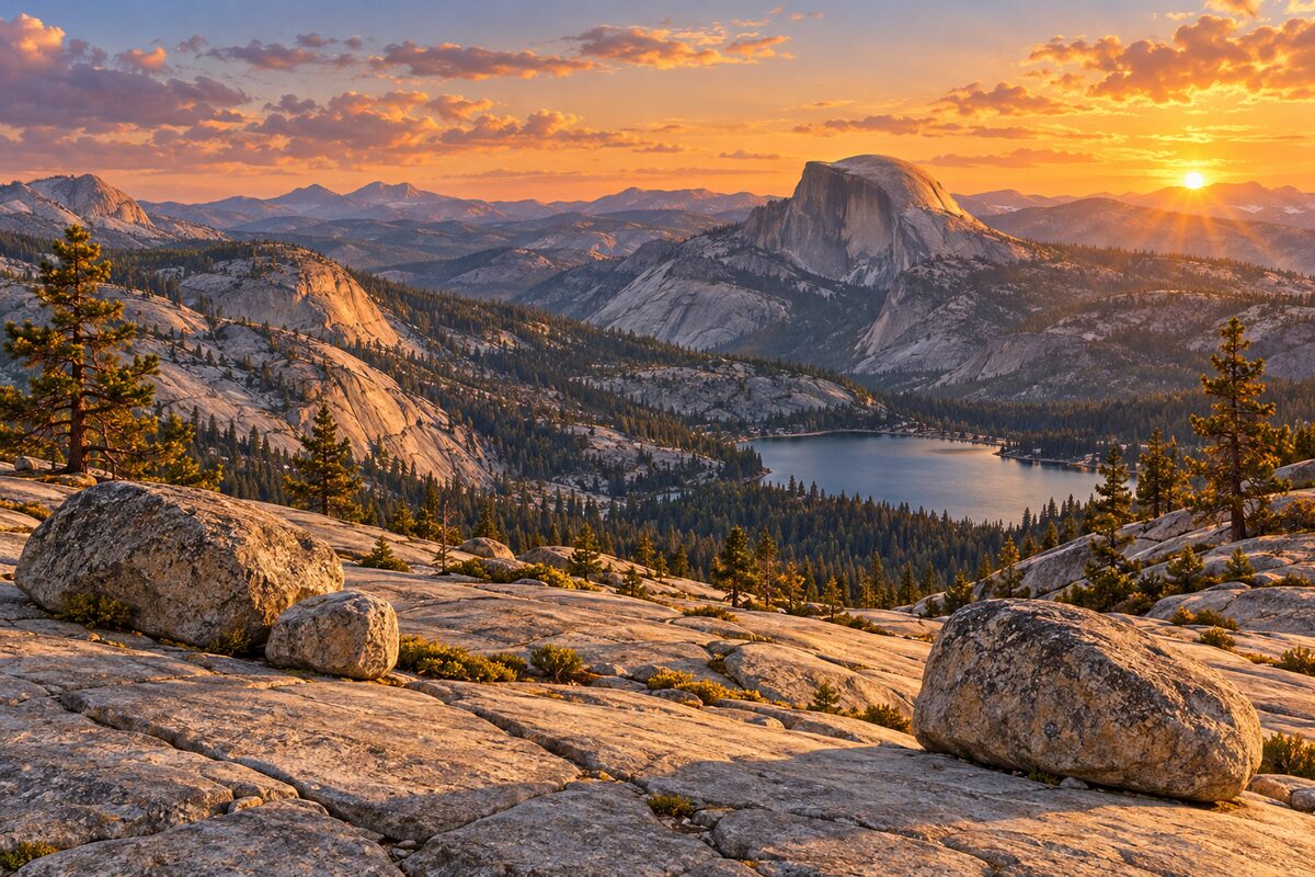
Olmsted Point
Tioga Road at about 8,400 feet; granite slabs and erratics looking down Tenaya Canyon to Half Dome
Areas
West: Crane Flat Forest · Granite High Country · Tioga Pass and the East Slope
Illustrations are drawn for the app. Place descriptions are written by hand and checked against a primary source; facts draw on Wikidata (CC0) and Wikipedia (CC BY-SA). Maps © OpenStreetMap contributors.