Guides · Texas Hill Country Loop
Texas Hill Country Loop
10 places · 3 areas · the first stage free, then $4.99 for the whole city · offline map 2.3 MB
Try it free
The first stage of Texas Hill Country Loop is free
The map and every stage title are open; the first stage opens with its full guide. Unlock the drive for the rest.
The free first stage
3 of the highlights, 2 days, about 1.7 mi (2.7 km), planned by the app's own engine and shown here with their guide. In the app you choose your own.
Day 1 · ~1.7 mi (2.7 km)
1
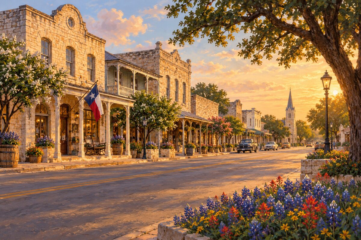
Fredericksburg Historic District
Fredericksburg; German-settled town center around the Marktplatz, on the National Register since 1970
Start at the Marktplatz with the octagonal Vereins Kirche, then walk to the bow-fronted old Nimitz Hotel, now part of the National Museum of the Pacific War.
2
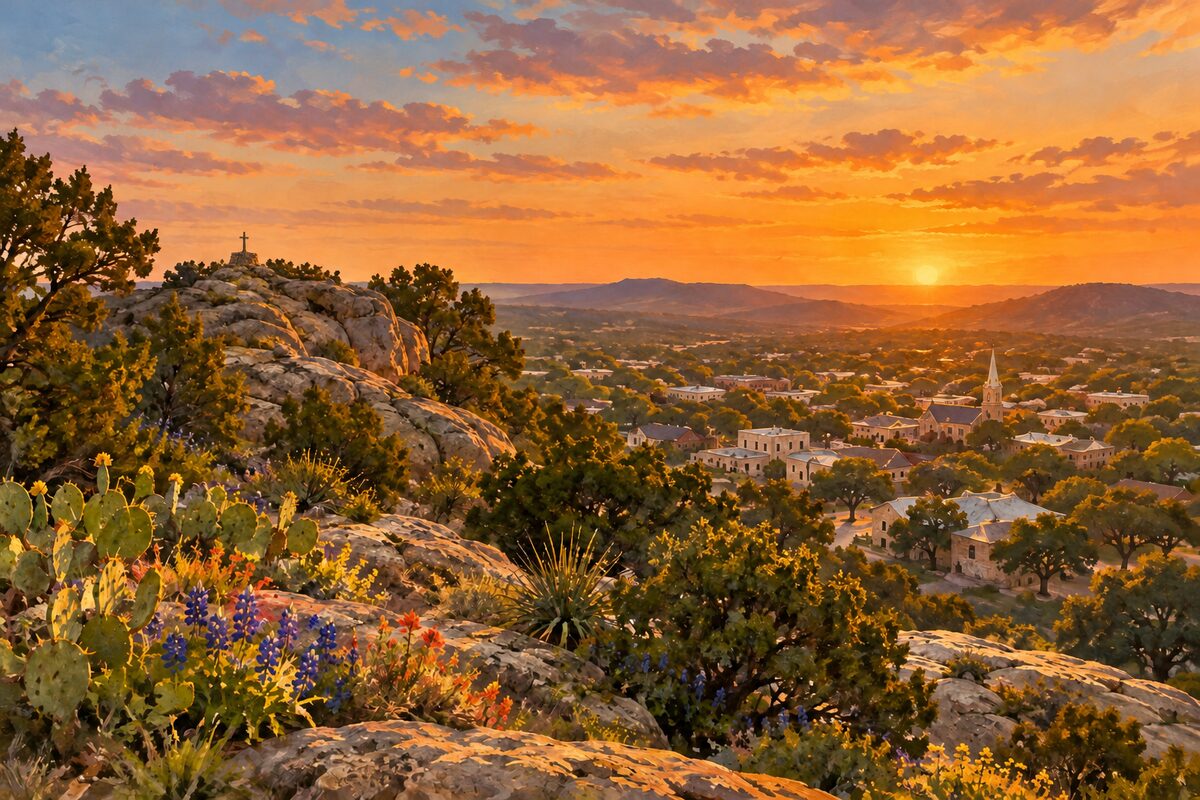
Cross Mountain Park
North Milam Street, Fredericksburg; marl and limestone hill at 1,951 feet with a lighted cross and town view
Climb the main trail, about 10 to 15 minutes, to the cross and the overlook above Fredericksburg.
Day 2 · <0.1 mi (<0.1 km)
1
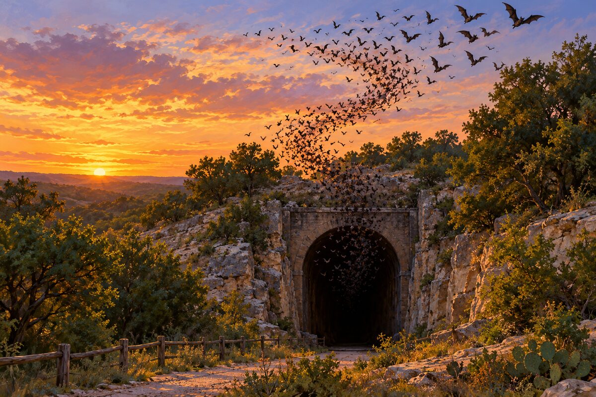
Old Tunnel State Park
south of Fredericksburg; old railroad tunnel where up to 3 million bats emerge at dusk, May to October
Sit at the viewing area at sunset and watch the bats pour out of the tunnel mouth in a long, twisting stream.
More of the top sights
A few of the 10 places in the full guide. Each one has its own written guide in the app: what to do, what to notice, the history, and why it hits.
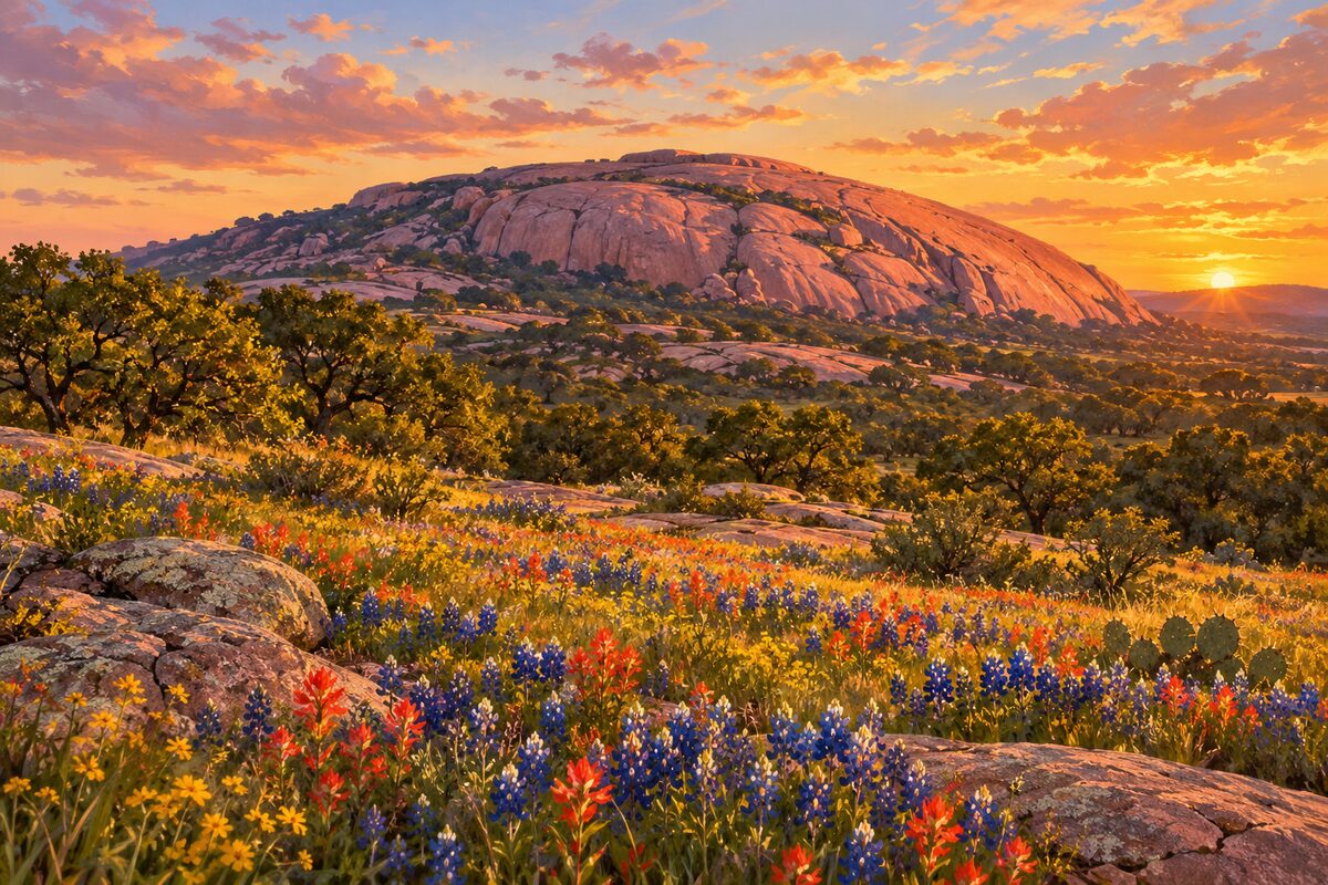
Enchanted Rock State Natural Area
north of Fredericksburg; pink granite dome rising about 425 feet above the plain
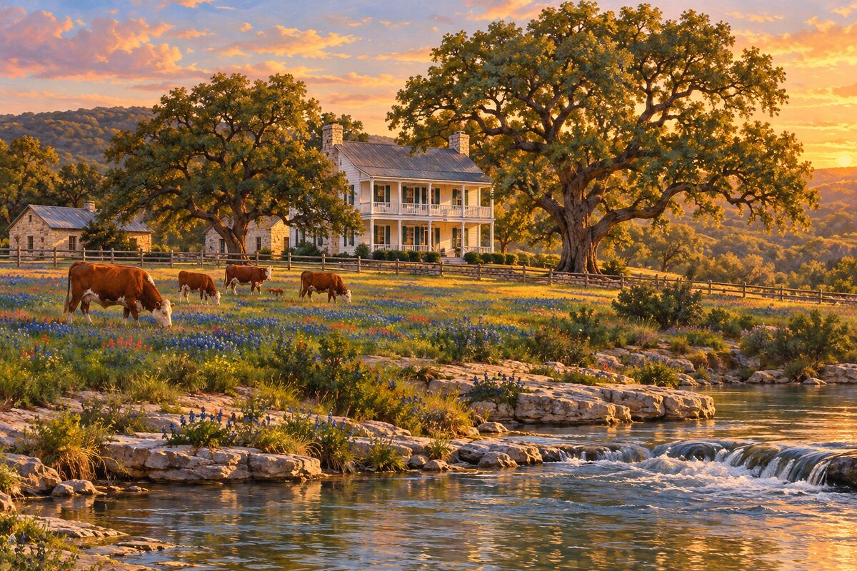
Lyndon B. Johnson National Historical Park
LBJ Ranch, Stonewall; self-drive tour of the president's working ranch on the Pedernales
Areas
Fredericksburg · North: Wildflower Road and Granite Dome · South: Luckenbach and the Pedernales
Illustrations are drawn for the app. Place descriptions are written by hand and checked against a primary source; facts draw on Wikidata (CC0) and Wikipedia (CC BY-SA). Maps © OpenStreetMap contributors.