Guides · Santa Fe - Taos: High Road
Santa Fe - Taos: High Road
11 places · 3 areas · any 7 stops free, then $4.99 for the whole city · offline map 4.1 MB
Try it free
Pick any 7 of Santa Fe - Taos: High Road's 11 places, free
- Browse all 11Every place, where it is and the basics are open to everyone.
- Pick your 7Add any 7 stops to your route. Each opens with its full guide and stays yours.
- Plan and walkBuild day-by-day walks from your picks, as many as you like, offline.
Drives: the first stage of every road trip is free.
An example half day
4 of the highlights, 1 day, about 0.6 mi (1.0 km), planned by the app's own engine and shown here with their guide. In the app you choose your own.
Day 1 · ~0.6 mi (1.0 km)
1
Santa Fe Plaza
heart of old Santa Fe; plaza at the end of the Santa Fe Trail, beside the Palace of the Governors
Sit in the plaza and take in the adobe Palace of the Governors on the plaza, then set off on foot through the old town.
2
Loretto Chapel
downtown Santa Fe; 1878 Gothic Revival chapel and its "Miraculous Stair"
Look up at the spiral stair that rises about 20 feet to the choir loft in two full turns with no central pole.
3
San Miguel Chapel
Barrio de Analco; adobe mission chapel often called the oldest church building in the continental US
Step inside to see the 1798 wooden altar screen and the 1709 statue of St. Michael, then look at the old bell with its misleading date.
4
Canyon Road
east side; old adobe lane with more than a hundred galleries and studios
Walk the road toward the Sangre de Cristo Mountains, ducking into courtyards and studios along the way.
More of the top sights
A few of the 11 places in the full guide. Each one has its own written guide in the app: what to do, what to notice, the history, and why it hits.
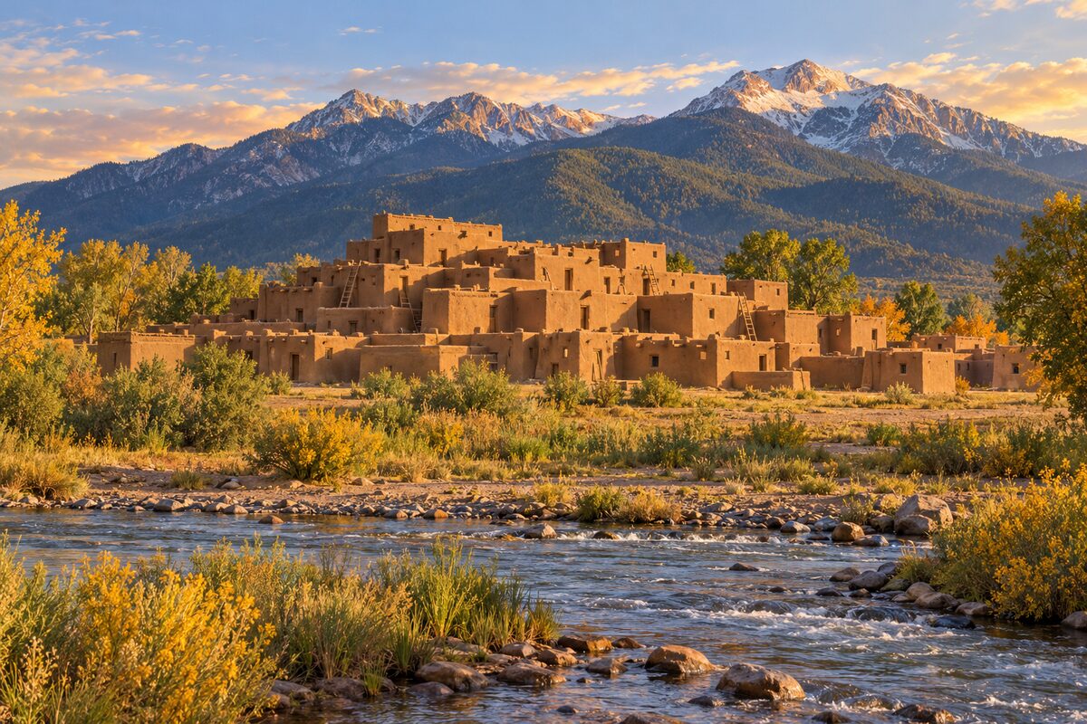
Taos Pueblo
about a mile north of Taos town; multi-story adobe village on Red Willow Creek, lived in for about a thousand years
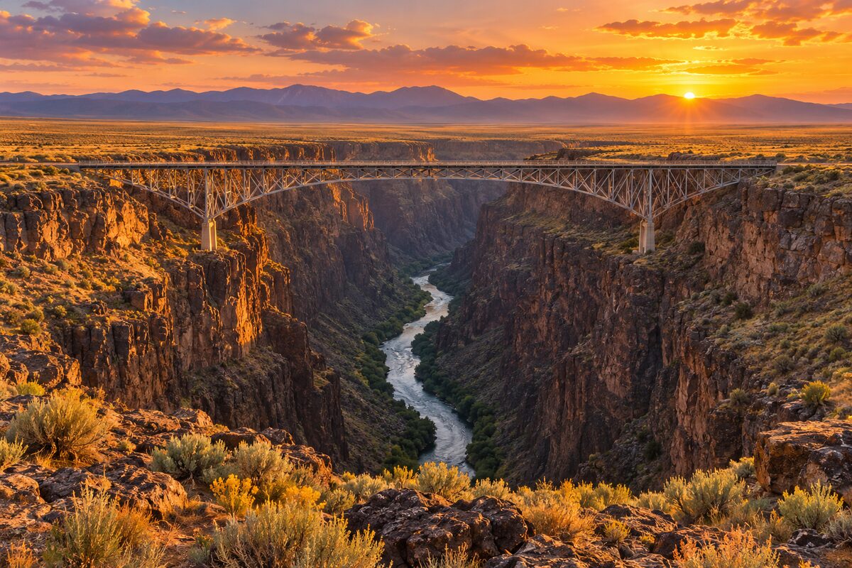
Rio Grande Gorge Bridge
US 64, about 10 miles northwest of Taos; 1965 steel bridge some 565 to 650 feet above the Rio Grande
Areas
Santa Fe · High Road to Taos · Taos
Illustrations are drawn for the app. Place descriptions are written by hand and checked against a primary source; facts draw on Wikidata (CC0) and Wikipedia (CC BY-SA). Maps © OpenStreetMap contributors.