Guides · San Antonio
San Antonio
94 places · 11 areas · a free route, then $4.99 for the whole city · offline map 5.9 MB
The free route
Free in the app, permanently, before you pay anything. 8 stops, 1 day, about 1.5 km, planned by the app's own engine.
Day 1 · ~1.5 km
1
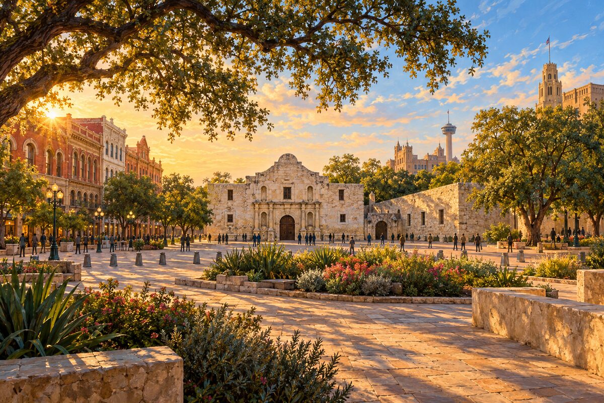
Alamo Plaza
The plaza over the old mission grounds in front of the Alamo church, being remade around its history
Stand at the south end of the plaza and take in the whole sweep: the church, the Long Barrack beside it, and across the way the Victorian commercial blocks, among them the Woolworth and Crockett buildings that are being turned into the new Alamo museum. Then walk the edge to find the exhibits marking where the mission's walls and gate once stood.
2
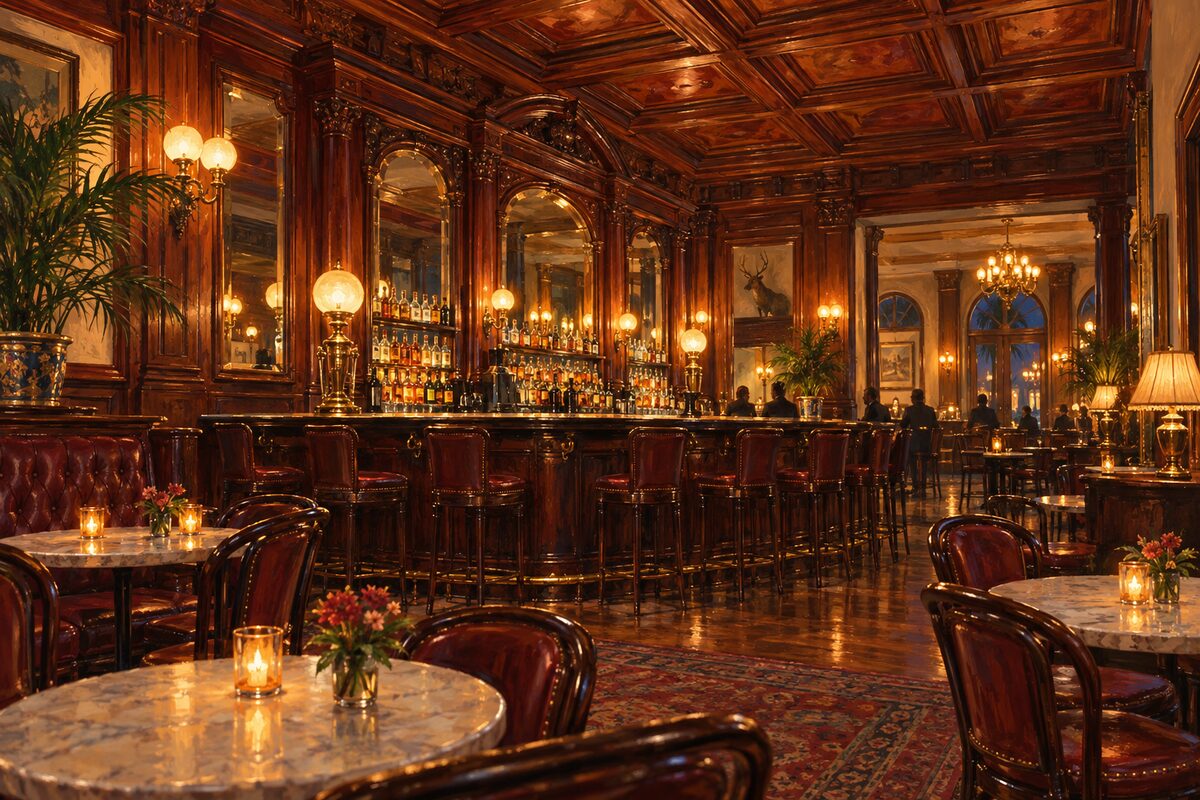
Menger Hotel
An 1859 hotel beside the Alamo, with an 1887 bar built as a replica of a London club's taproom
Walk through the Victorian lobby, then find the Menger Bar: cherry-paneled ceiling, beveled mirrors in mahogany frames, and the round tables where, by the bar's own tradition, Theodore Roosevelt signed up Rough Riders. Order a drink and sit a while.
3
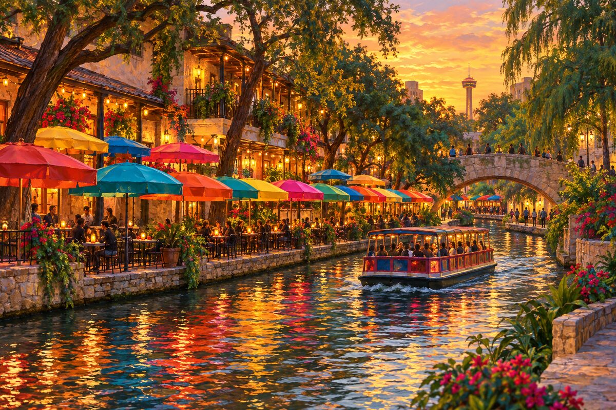
Casa Rio
A family-run Tex-Mex restaurant on the river since 1946, under rows of bright umbrellas at water level
Take a table at the water's edge under the colored umbrellas and order a plate of enchiladas and tamales, the style of Tex-Mex the restaurant has served since it opened. Watch the barges pass close enough to touch.
4
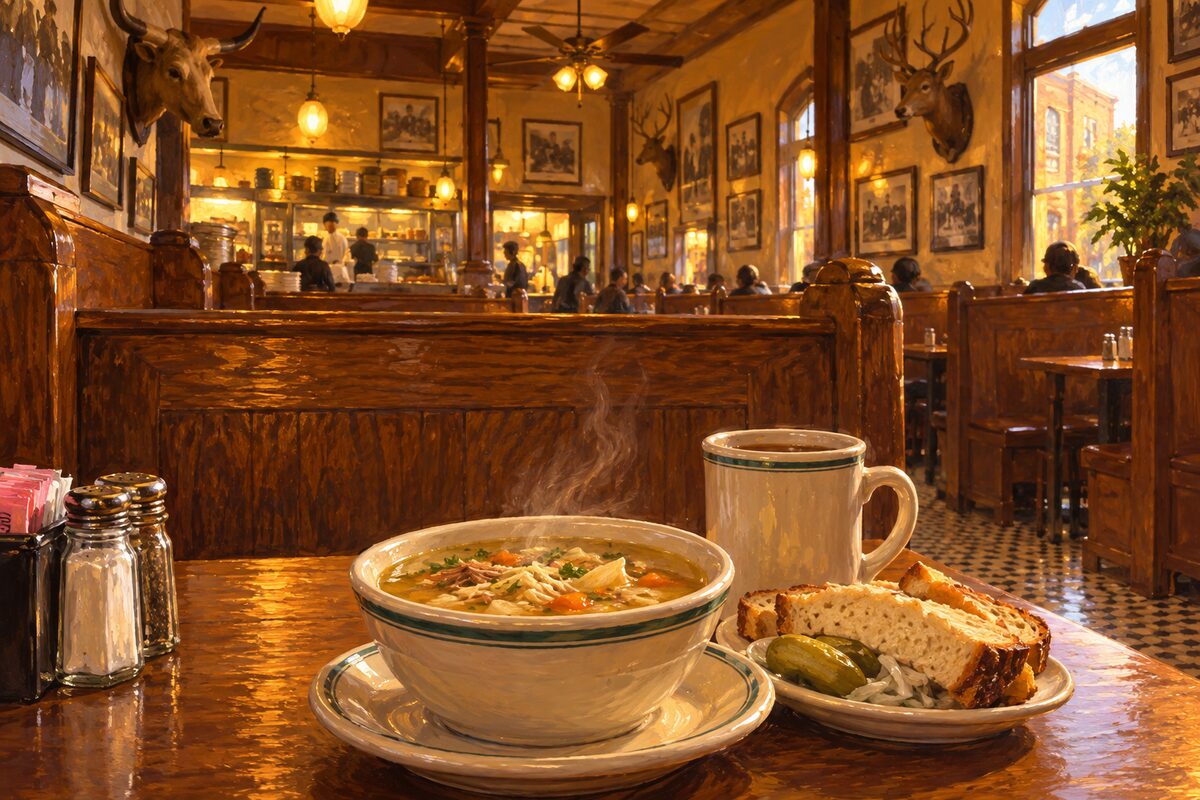
Schilo's Delicatessen
A German-Texan deli on Commerce Street since 1917, known for split pea soup and house root beer
Slide into a high-backed oak booth and order a bowl of split pea soup and a mug of the house root beer, then a Reuben if you are still hungry. Look over the old photographs and mounted heads on the walls while you eat.
5
GO Rio River Cruises
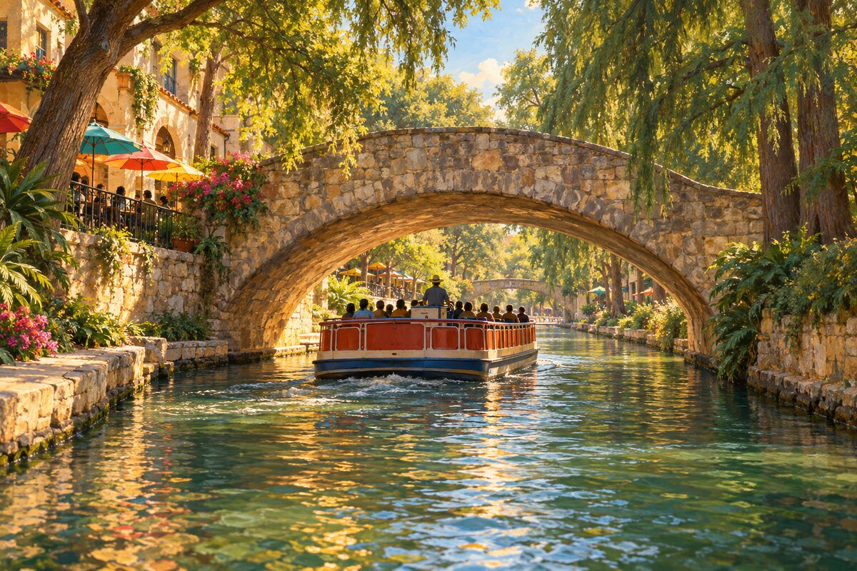
The narrated open-air barges that loop the downtown River Walk, a short ride under bridges and cypress trees
Buy a ticket at one of the riverside booths or online and board the next barge; the narrated ride runs about half an hour along the downtown River Walk. Sit on the outside edge for photos of the bridges and the cypress canopy.
6
Arneson River Theatre
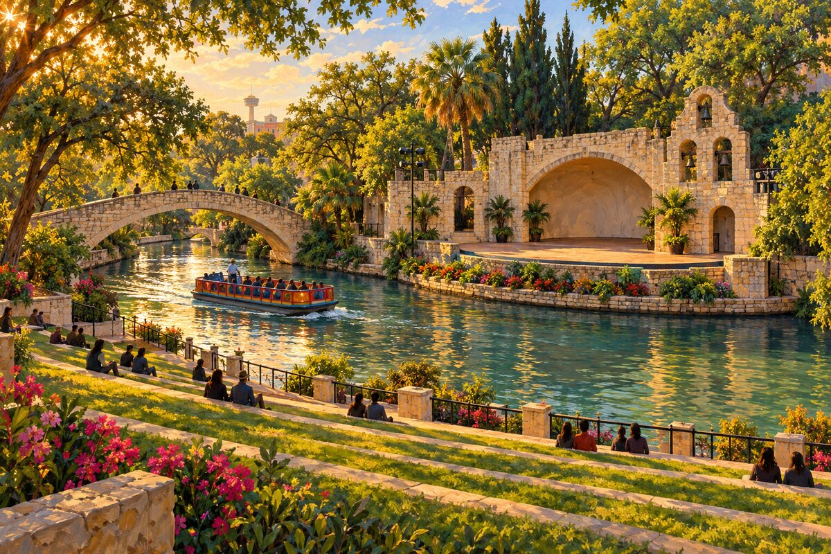
The WPA open-air stage in La Villita where the audience sits on grass steps across the river
Walk down to the river below La Villita and sit on the grass-covered steps on the south bank, facing the stage and its arches on the far side. Watch the barges slide between you and the stage, then cross the arched stone footbridge, Rosita's Bridge, to stand under the bells.
7
La Villita Historic Arts Village
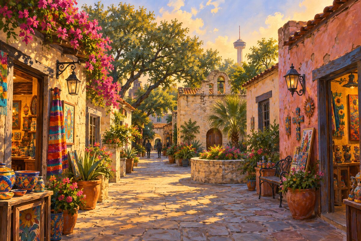
The city's early riverside neighborhood of 19th-century houses, restored in 1939 and now artists' shops
Wander the short lanes between the low old houses, stepping into the craft shops and galleries, then find the Cos House, where by tradition Mexican general Martín Perfecto de Cos surrendered San Antonio to Texan forces in December 1835. Finish at the river steps above the Arneson River Theatre.
8
Main Plaza
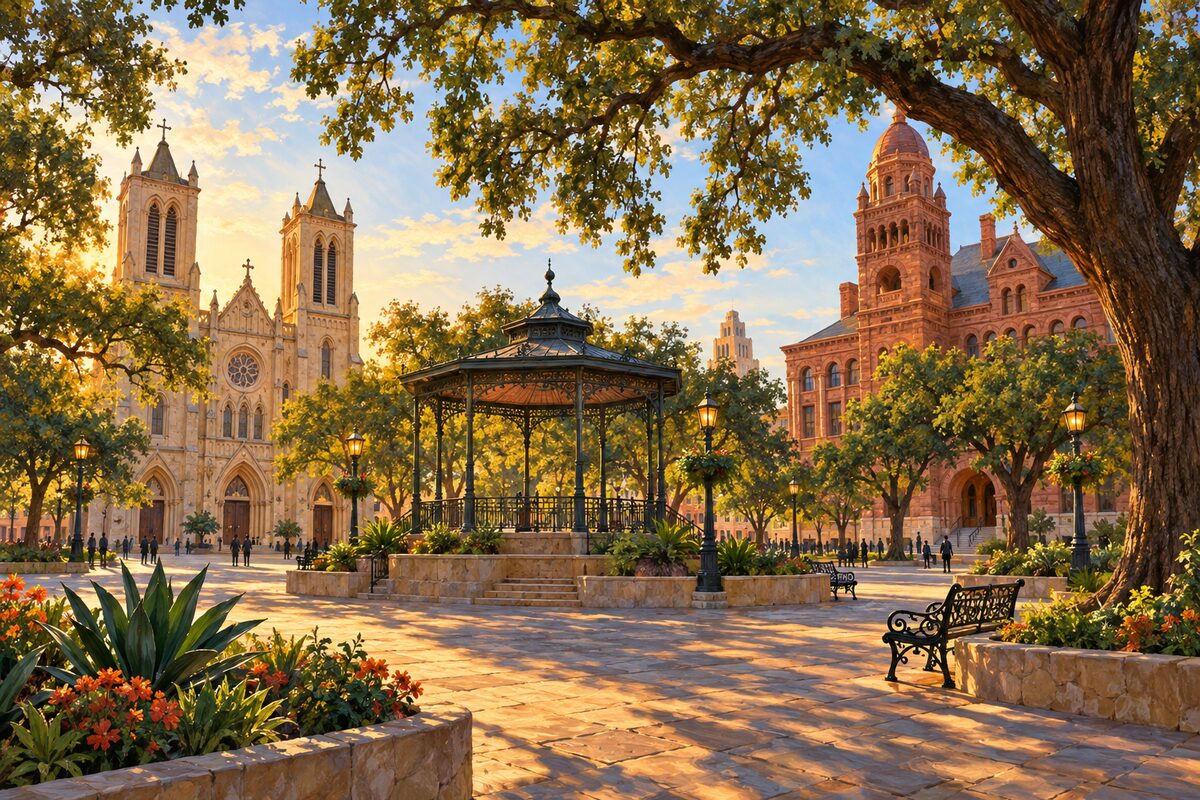
Plaza de las Islas, the square the Canary Islanders laid out in 1731 between their church and the courthouse
Walk the square from the cathedral steps to the courthouse, reading the plaza as the colonial town's living room: church on one side, county government on another. Stay under the trees until dark, when the cathedral facade lights up for The Saga.
More of the top sights
A few of the 94 places in the full guide. Each one has its own written guide in the app: what to do, what to notice, the history, and why it hits.
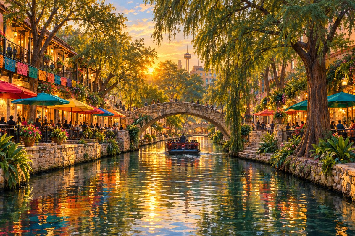
San Antonio River Walk
The below-street river loop through downtown, saved from being paved over and built by the WPA to Hugman's design
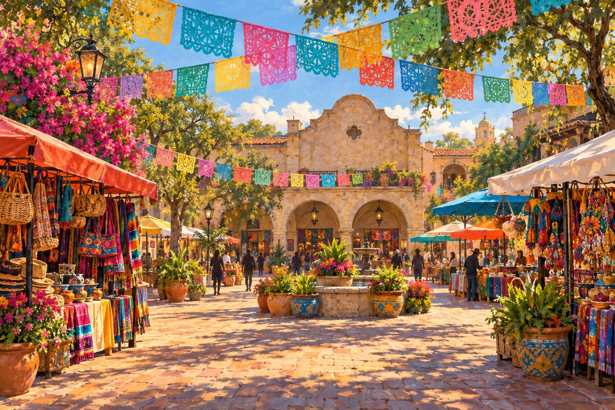
Historic Market Square
El Mercado and the old farmers market plaza, a block of Mexican crafts and food stalls west of downtown
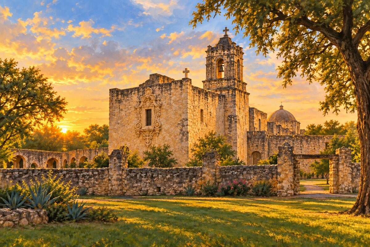
Mission San José
The Queen of the Missions, a walled 1720 mission community with the park's visitor center and Rose Window
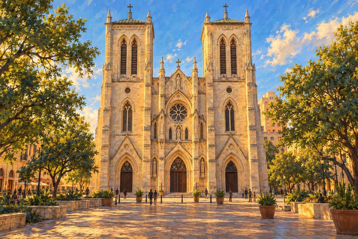
San Fernando Cathedral
The Canary Islanders' parish church on Main Plaza, whose facade becomes a free light show on most nights
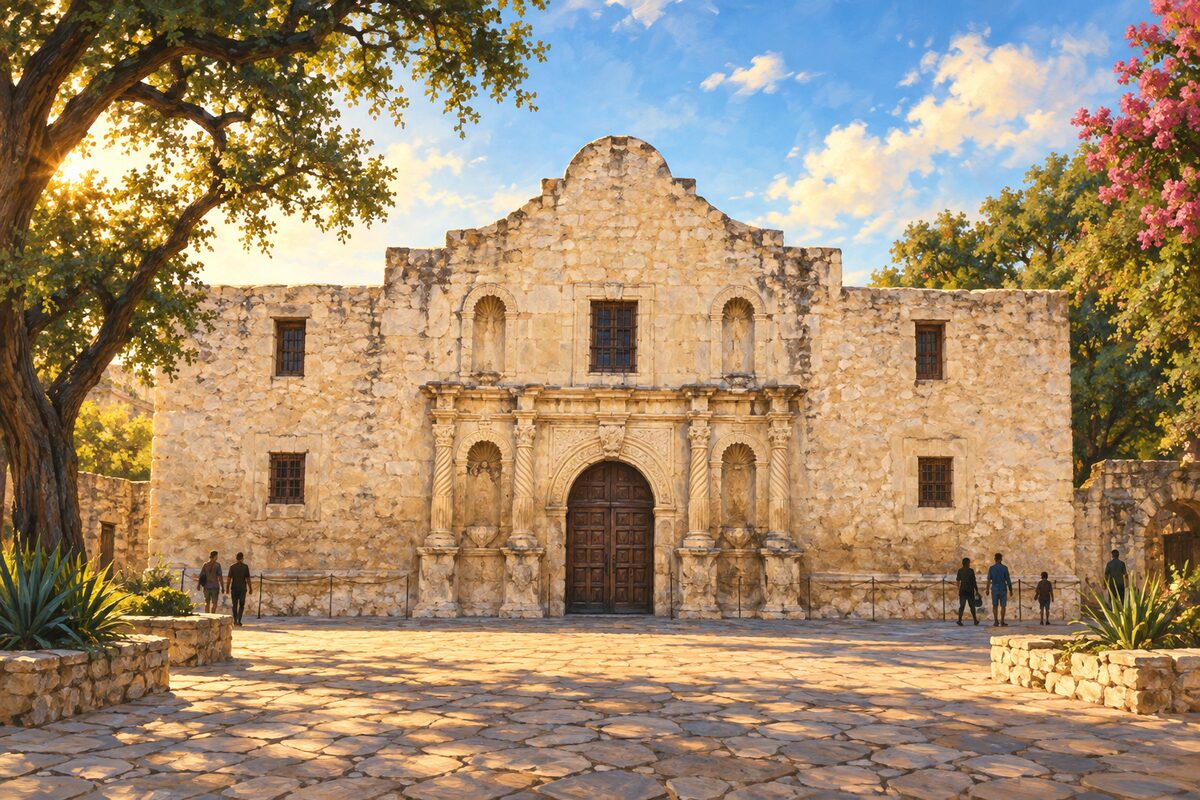
The Alamo
The church of the 1718 mission where the 1836 siege ended, now at the heart of the Alamo Plan
Areas
Alamo Plaza · Houston Street and Travis Park · River Walk · La Villita and Hemisfair · Main Plaza and San Pedro Creek · Market Square and West Side · Pearl and Museum Reach · King William and Southtown · Brackenridge Park · East Side · Missions
Illustrations are drawn for the app. Place descriptions are written by hand and checked against a primary source; facts draw on Wikidata (CC0) and Wikipedia (CC BY-SA). Maps © OpenStreetMap contributors.