Guides · Route 66
Route 66
40 places · 8 areas · the first stage free, then $4.99 for the whole city · offline map 96 MB
Try it free
The first stage of Route 66 is free
The map and every stage title are open; the first stage opens with its full guide. Unlock the drive for the rest.
The free first stage
6 of the highlights, 6 days, about <0.1 mi (<0.1 km), planned by the app's own engine and shown here with their guide. In the app you choose your own.
Day 1 · <0.1 mi (<0.1 km)
1
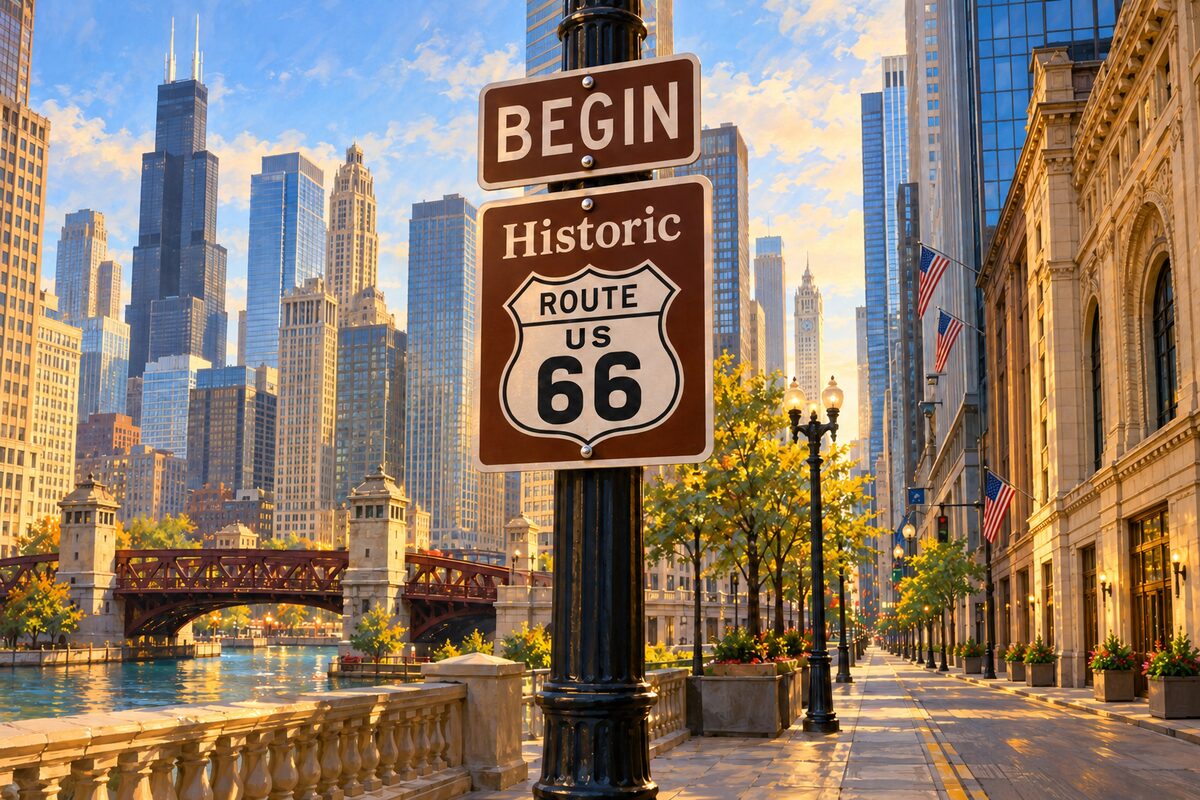
Route 66 Begin Sign
Adams Street at Michigan Avenue, Chicago; where the westbound road begins
Take the start-of-the-trip photo at the brown "Begin Historic Route 66" sign on Adams Street, across from the Art Institute.
Day 2 · <0.1 mi (<0.1 km)
1
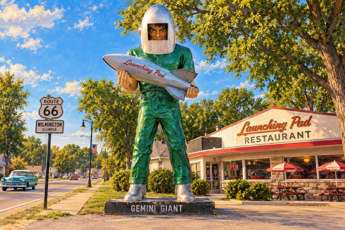
Gemini Giant
Wilmington; 30-foot fiberglass spaceman, now at the entrance to South Island Park
Stand under the 30-foot spaceman with his helmet and rocket for the classic roadside photo.
Day 3 · <0.1 mi (<0.1 km)
1
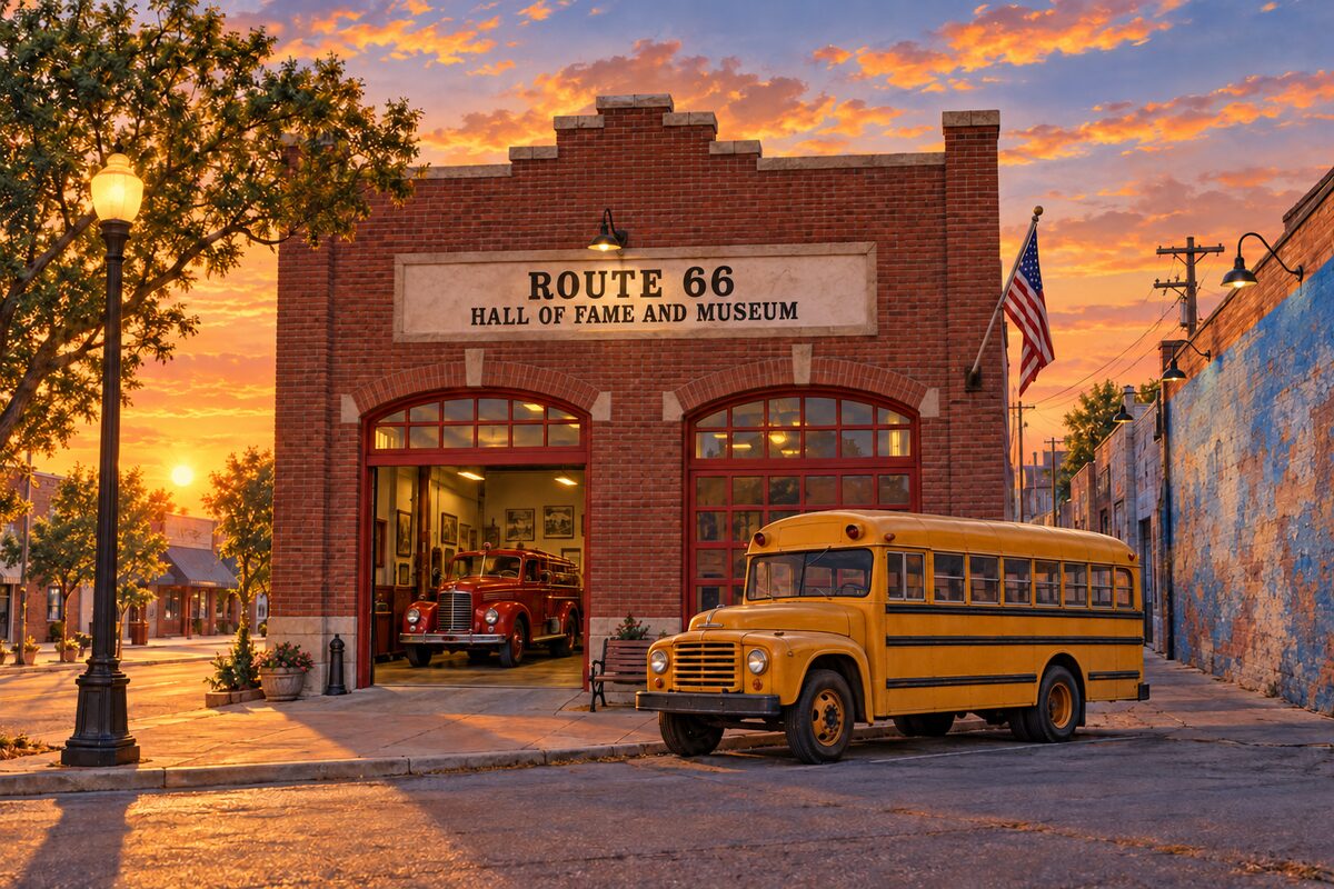
Route 66 Hall of Fame and Museum
Pontiac; road memorabilia in the old city hall and fire station
Walk through the collection of road memorabilia and see the vehicles of the late Route 66 artist and mapmaker Bob Waldmire.
Day 4 · <0.1 mi (<0.1 km)
1
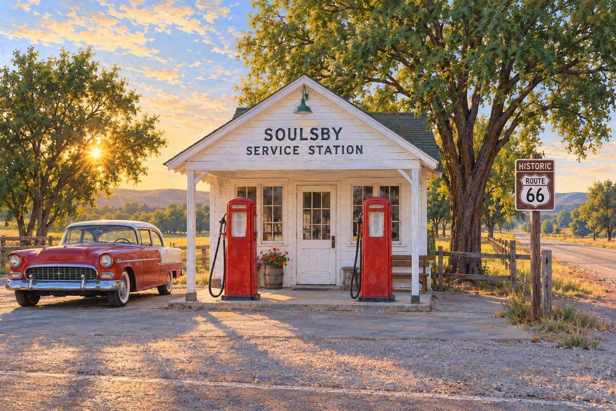
Soulsby Service Station
Mount Olive; small station built in 1926, the year Route 66 began
Stop for a look at a gas station as old as Route 66.
Day 5 · <0.1 mi (<0.1 km)
1
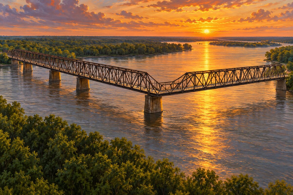
Chain of Rocks Bridge
Mississippi River near St. Louis; mile-long old bridge with a bend in the middle, walkers only
Walk or bike out over the Mississippi to the bend in the middle of the bridge.
Day 6 · <0.1 mi (<0.1 km)
1
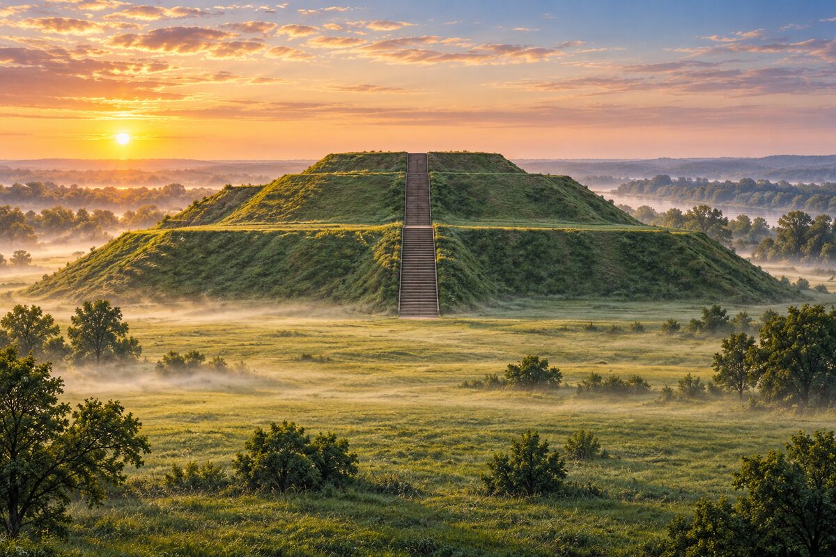
Cahokia Mounds State Historic Site
Collinsville; earthwork city of about 1100 and Monks Mound, a World Heritage Site
Climb the stairs to the top of Monks Mound and look out over the plaza and the remaining mounds.
More of the top sights
A few of the 40 places in the full guide. Each one has its own written guide in the app: what to do, what to notice, the history, and why it hits.
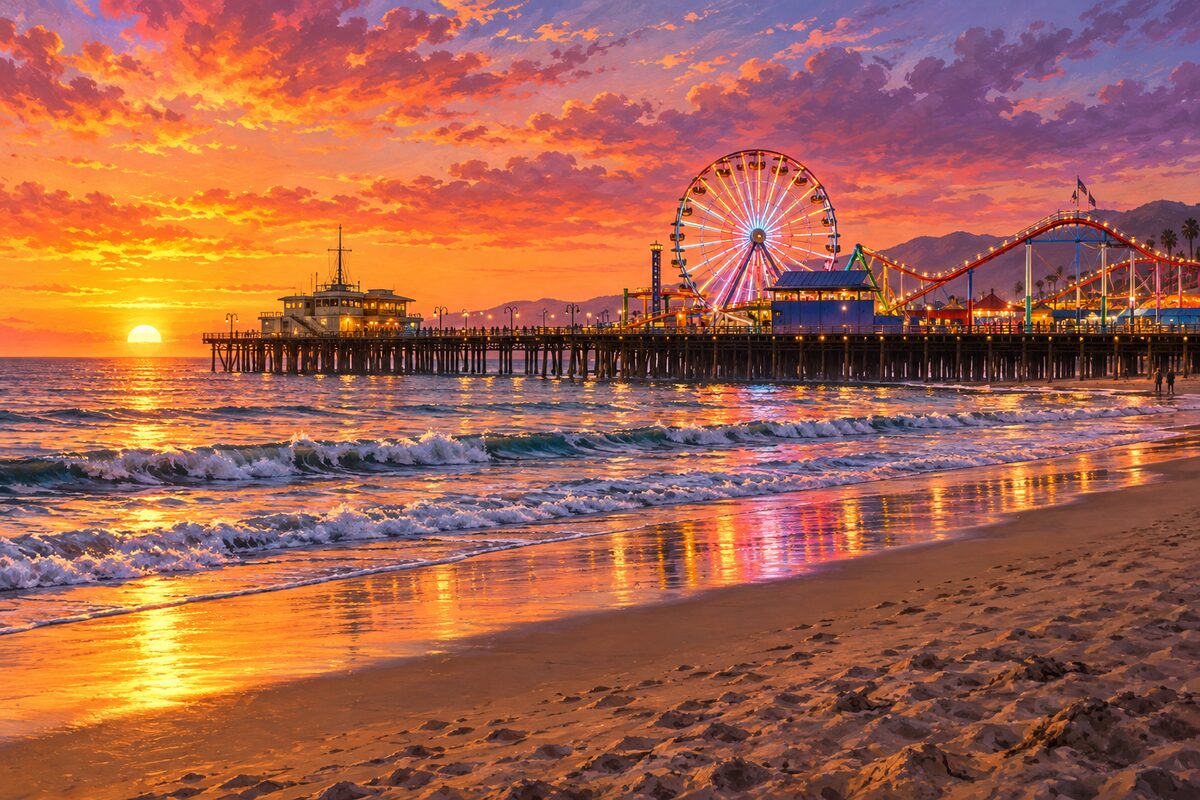
Santa Monica Pier
Santa Monica; end of the trail on the Pacific, with a 1922 carousel
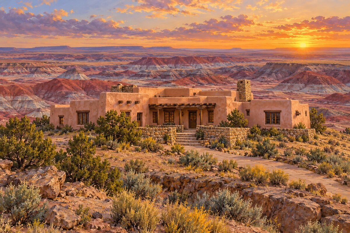
Painted Desert Inn
Petrified Forest National Park; Pueblo Revival inn on the rim of the Painted Desert
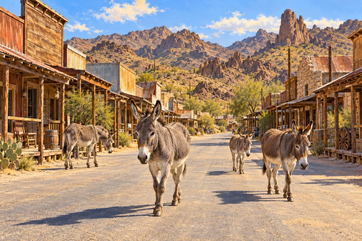
Oatman
Black Mountains; old gold-mining town where wild burros walk the street
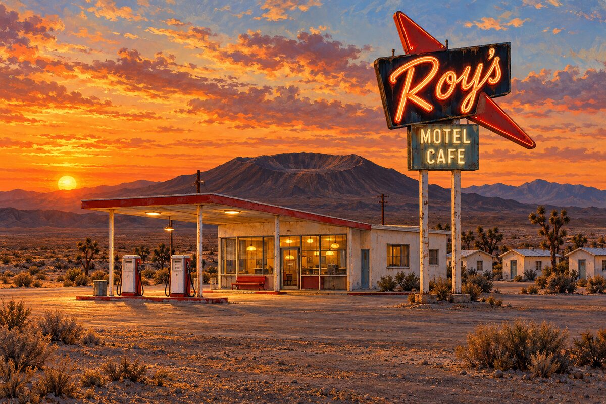
Roy's Motel and Cafe
Amboy; Mojave desert motel and cafe under a towering boomerang sign
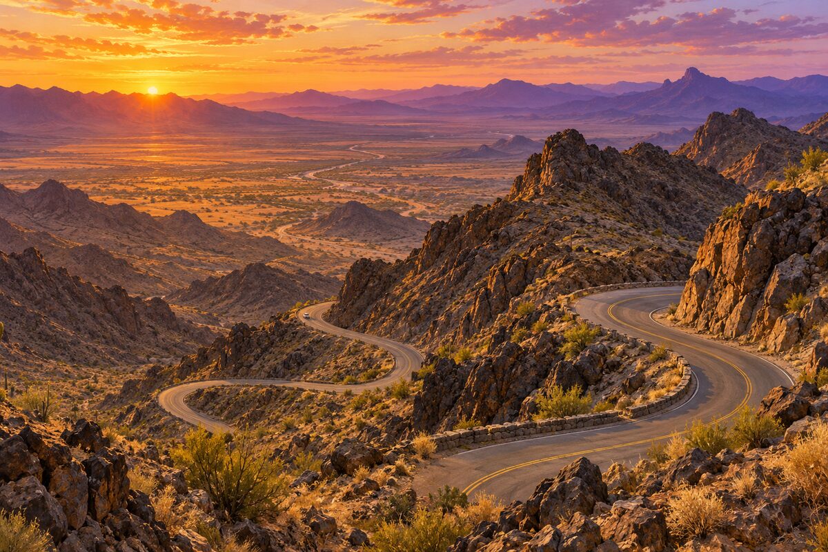
Sitgreaves Pass
Black Mountains; hairpin road over a 3,586-foot pass between Kingman and Oatman
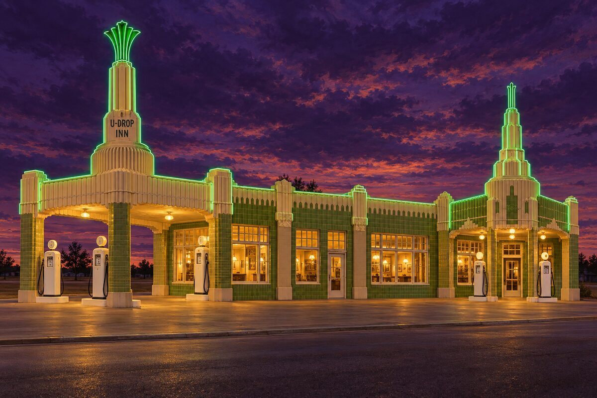
U-Drop Inn
Shamrock; 1936 Art Deco gas station and cafe, now the town visitor center
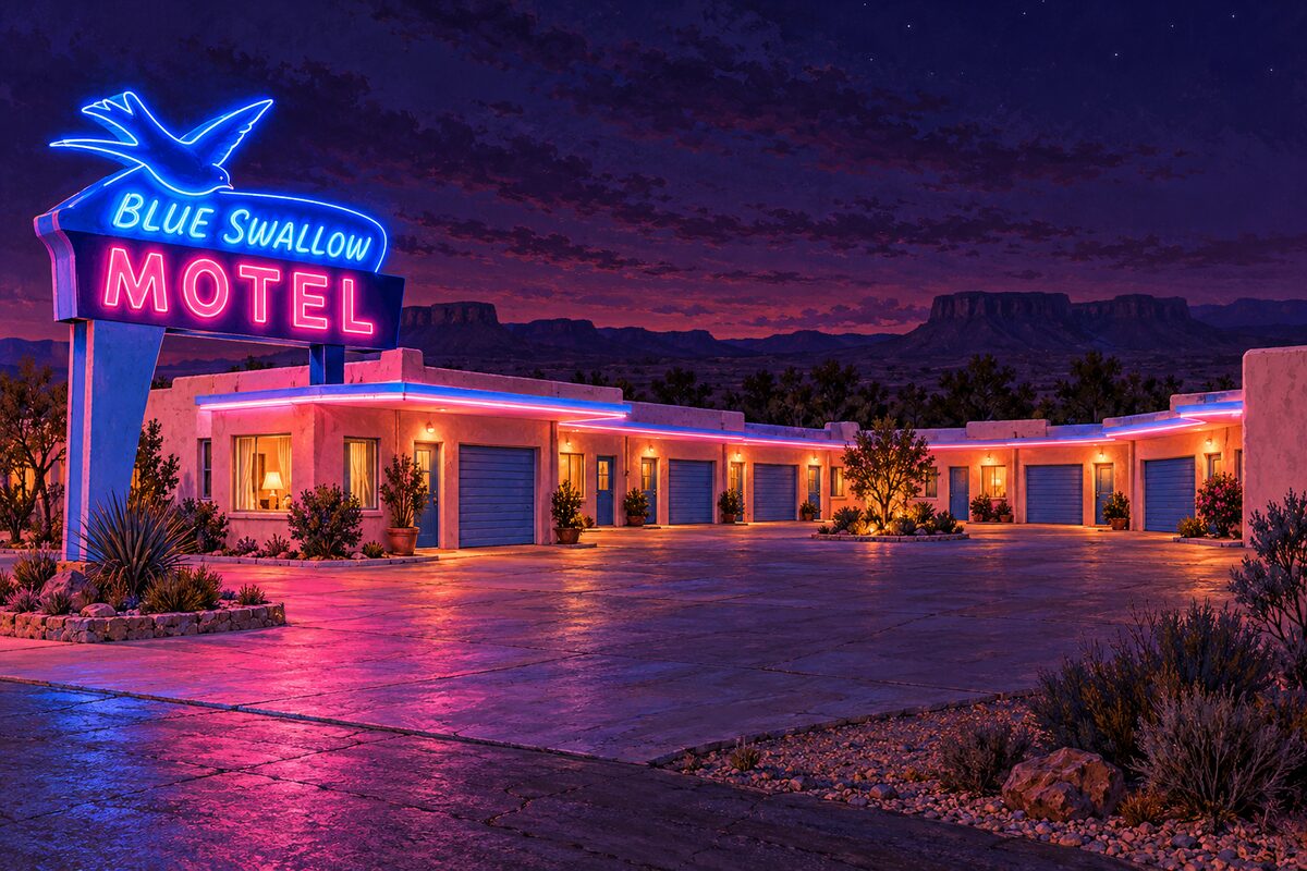
Blue Swallow Motel
Tucumcari; 1939 motel with its neon swallow and a garage beside each room
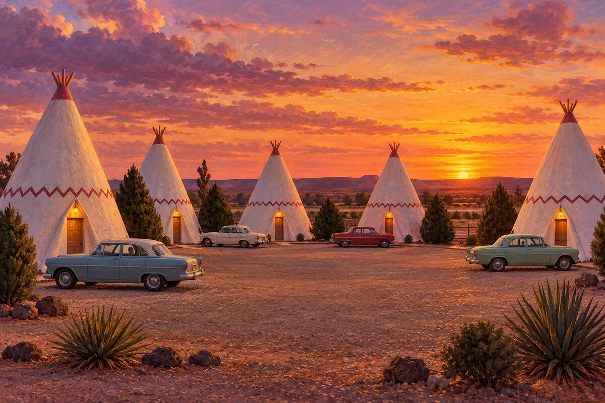
Wigwam Motel
Holbrook; motel of 15 concrete teepees with old cars parked out front
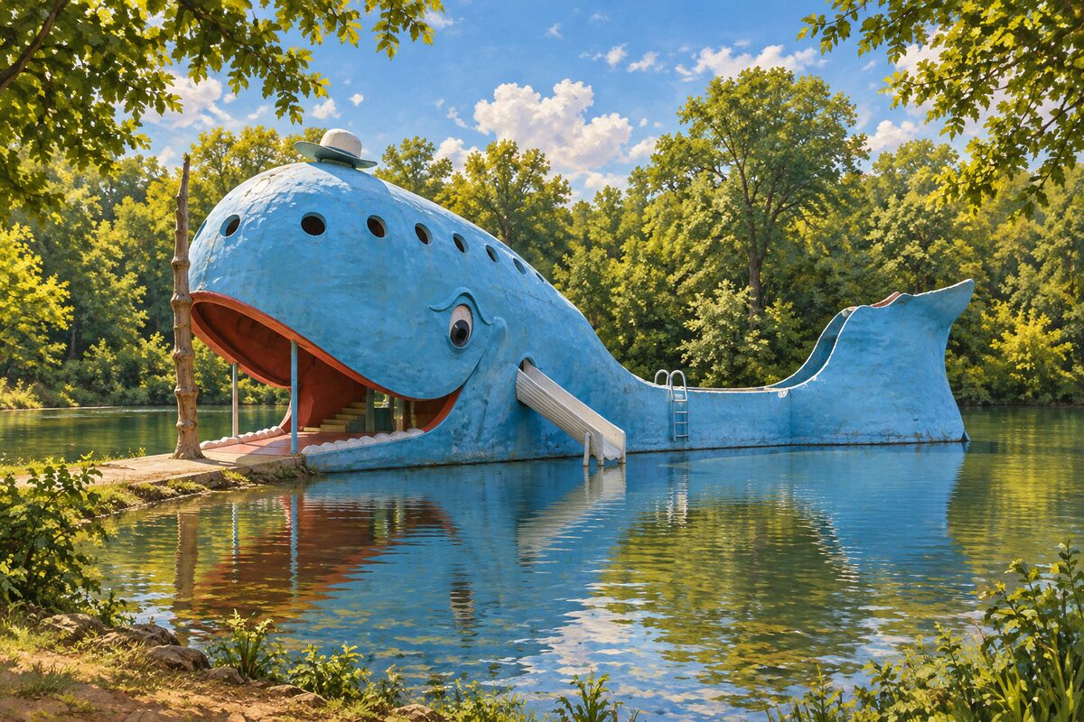
Blue Whale of Catoosa
Catoosa; smiling concrete whale in a pond, built as an anniversary gift
Areas
Illinois · Missouri · Kansas · Oklahoma · Texas · New Mexico · Arizona · California
Illustrations are drawn for the app. Place descriptions are written by hand and checked against a primary source; facts draw on Wikidata (CC0) and Wikipedia (CC BY-SA). Maps © OpenStreetMap contributors.