Guides · Providence
Providence
34 places · 7 areas · a free route, then $4.99 for the whole city · offline map 5.4 MB
The free route
Free in the app, permanently, before you pay anything. 8 stops, 1 day, about 2.2 km, planned by the app's own engine.
Day 1 · ~2.2 km
1
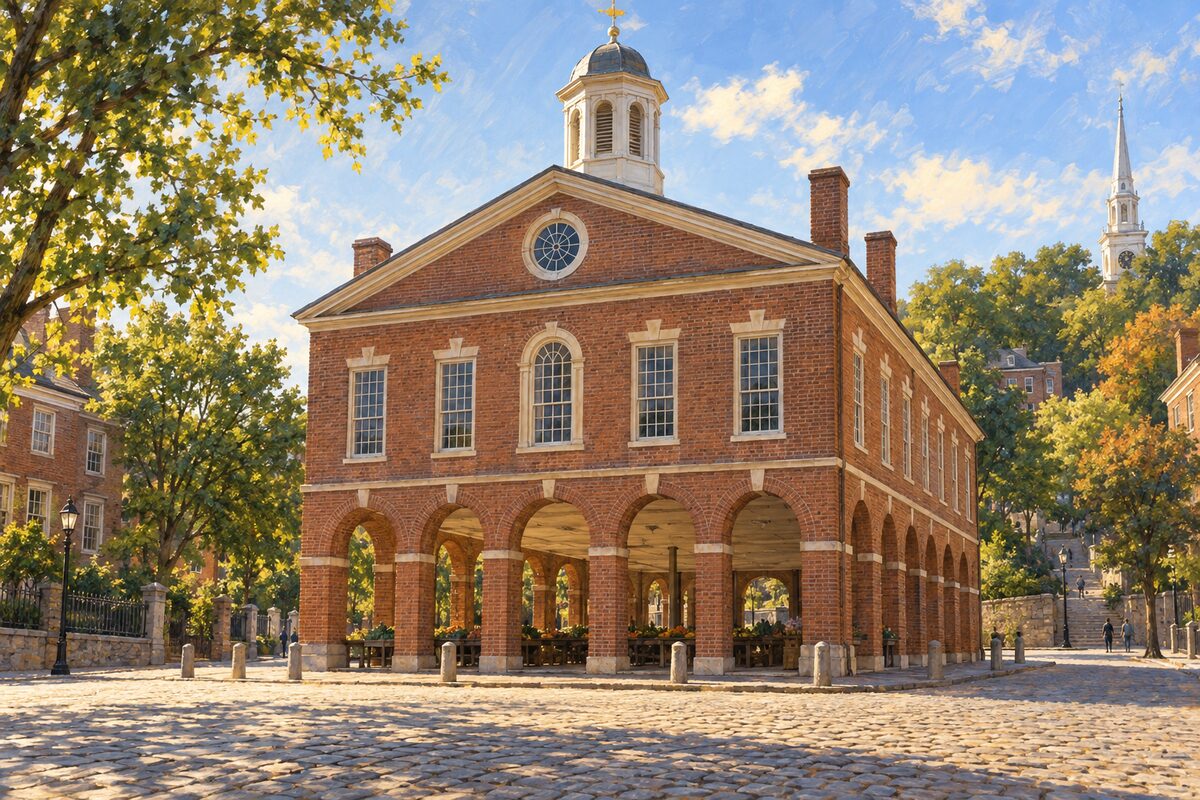
Market House
Market Square on S Main St; 1773-75 market hall where Providence burned tea in 1775
Look at the brick building at the foot of College Hill, where the ground floor was an open market and the upper floor a meeting hall.
2
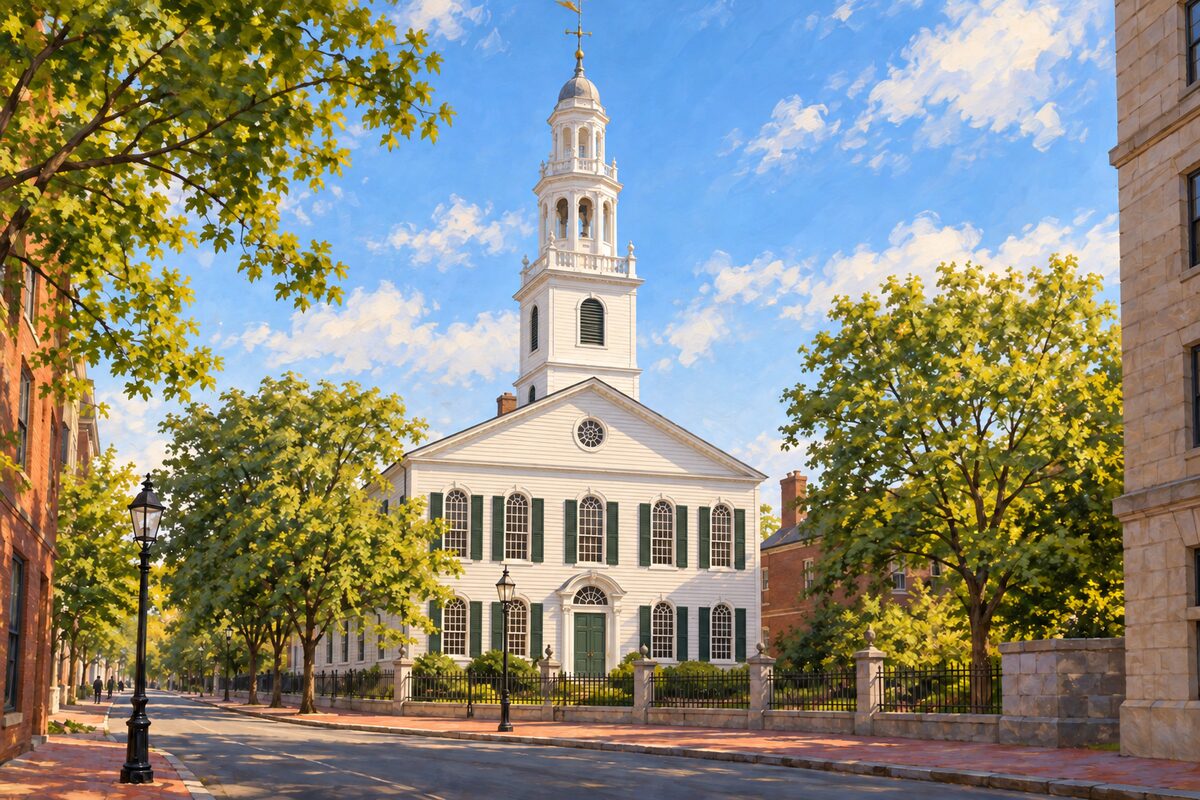
First Baptist Church in America
75 N Main St; congregation gathered by Roger Williams in 1638, Joseph Brown's meetinghouse of 1774-75
Look up at the white steeple from North Main Street, then step inside, if the doors are open, to see the 1792 Waterford crystal chandelier over the pews.
3
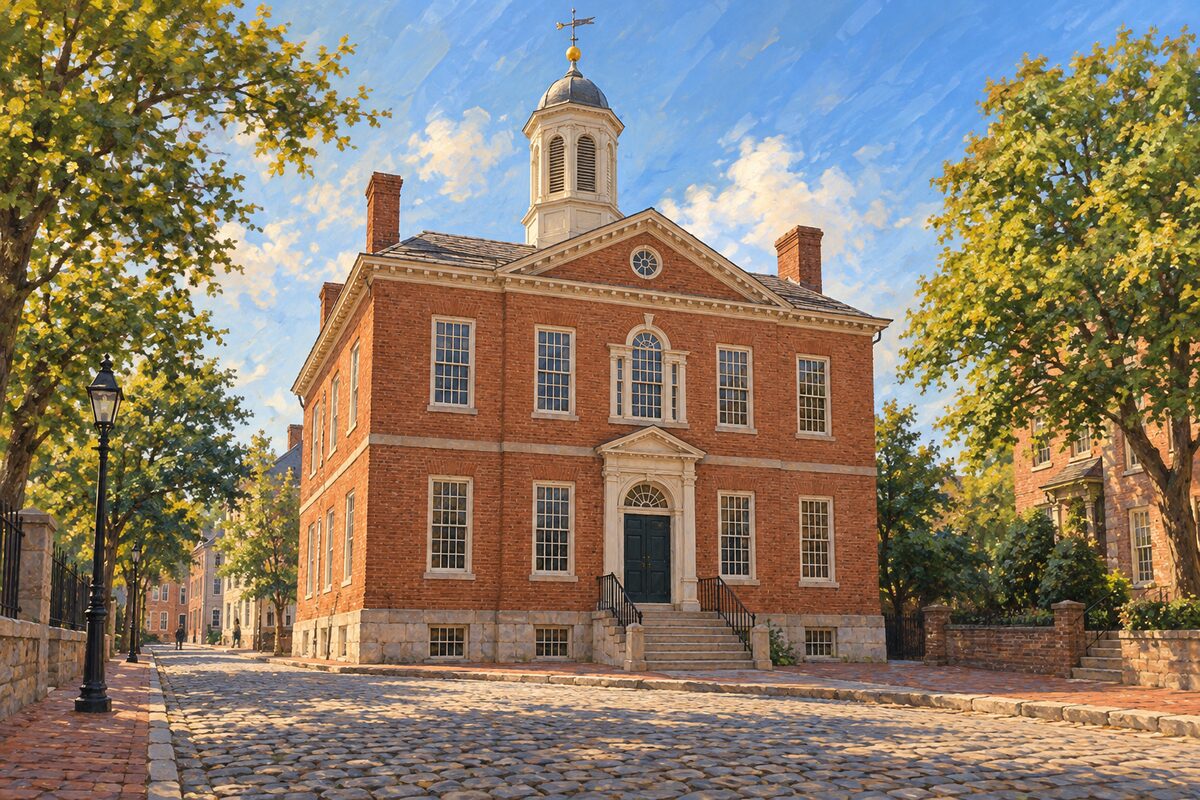
Old State House
150 Benefit St; 1762 colonial capitol where Rhode Island renounced the Crown on May 4, 1776
Stand in front of the brick Georgian building on Benefit Street and picture the vote of May 4, 1776, when the colony renounced the king.
4
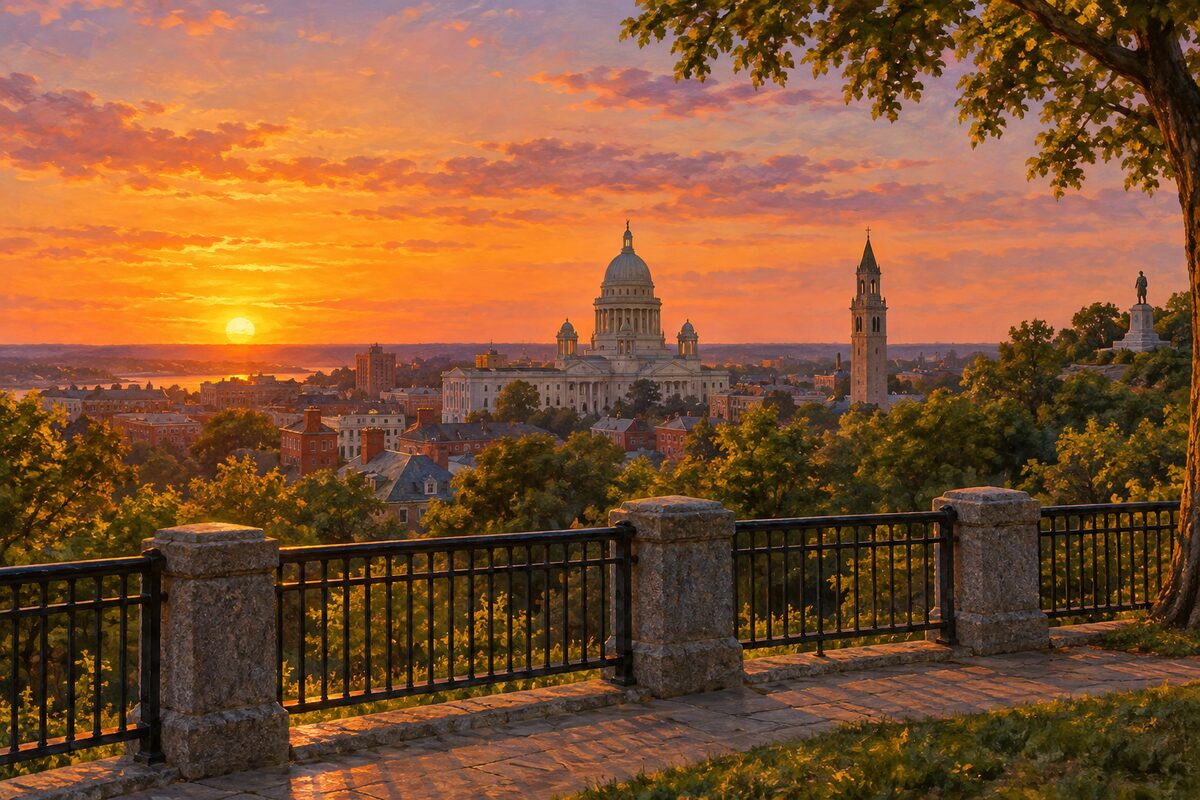
Prospect Terrace Park
Congdon St; 1869 hilltop overlook with the 1939 Roger Williams statue above his reburied remains
Stand at the railing for the sunset view west over downtown, the State House dome and the First Baptist steeple, with the granite Roger Williams beside you.
5
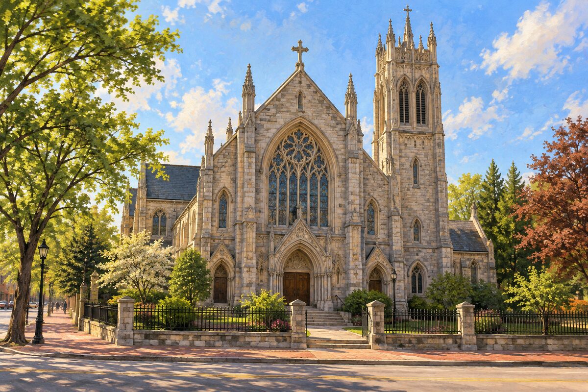
Cathedral of St. John
271 N Main St; John Holden Greene's 1810-11 Gothic Revival church, home of the Center for Reconciliation
Look at the stone Gothic front on North Main Street and its old churchyard, and ask the Center for Reconciliation about its walking tours on slavery in Providence.
6
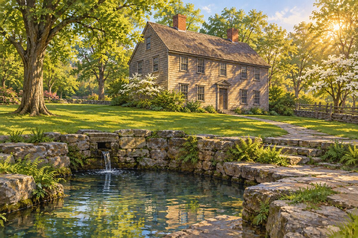
Roger Williams National Memorial
282 N Main St; 4.5-acre national park on the 1636 settlement site and the spring that drew Roger Williams
Start in the visitor center in the 1736 Antram-Gray House, then walk the lawn to the site of the spring where Williams chose to settle.
7
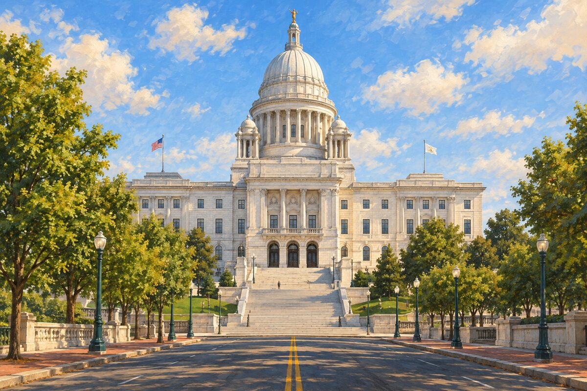
Rhode Island State House
82 Smith St; McKim, Mead and White capitol of 1891-1901 with a self-supporting marble dome
Walk under the dome in the rotunda, find the State Room with Gilbert Stuart's full-length George Washington, and see the original 1663 Royal Charter.
8
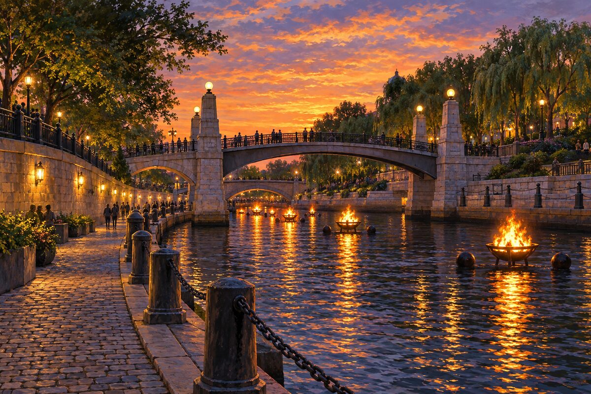
Waterplace Park
Woonasquatucket River basin; 1994 river basin with Venice-style bridges, heart of WaterFire nights
Walk the cobblestone Riverwalk below street level and cross the arched footbridges; on a WaterFire night, stay after sunset as the braziers on the river are lit.
More of the top sights
A few of the 34 places in the full guide. Each one has its own written guide in the app: what to do, what to notice, the history, and why it hits.
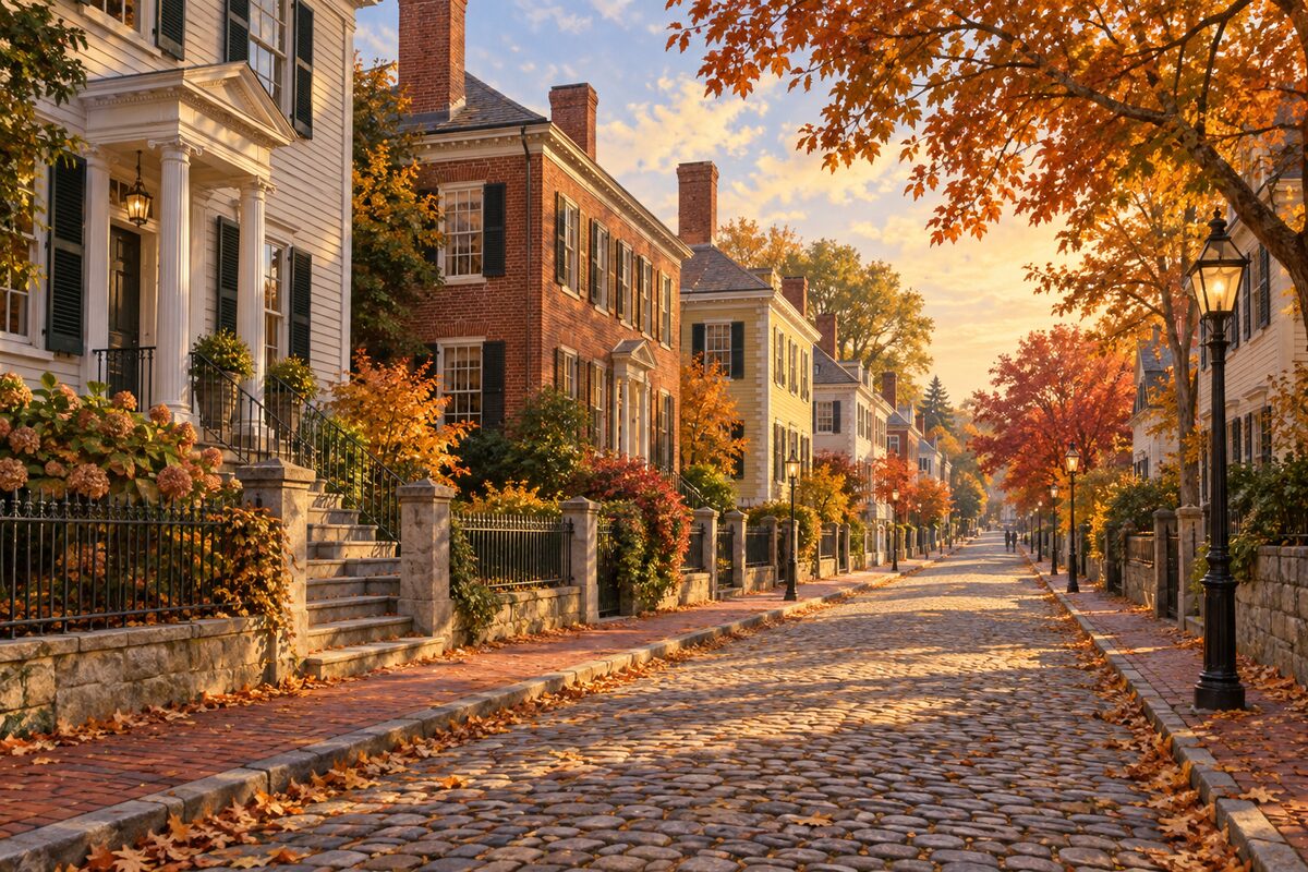
Benefit Street
College Hill above North Main St; the Mile of History, a long row of restored 18th and 19th-century houses
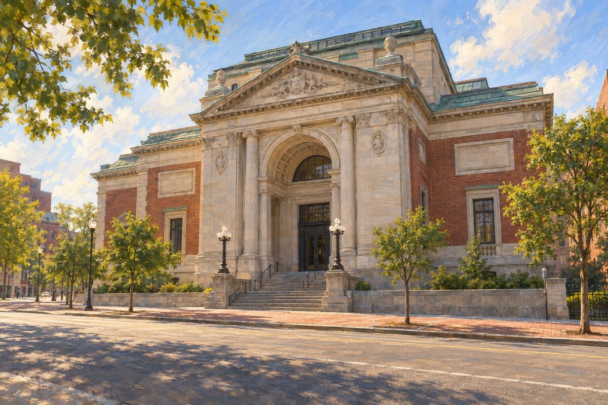
RISD Museum
20 N Main St; art museum founded in 1877 with a 12th-century Dainichi Buddha; closed Mondays
Areas
Downtown and Kennedy Plaza · Waterplace and State House · Benefit Street · College Hill · Federal Hill · Fox Point and India Point · Beyond Downtown
Illustrations are drawn for the app. Place descriptions are written by hand and checked against a primary source; facts draw on Wikidata (CC0) and Wikipedia (CC BY-SA). Maps © OpenStreetMap contributors.