Guides · Outer Banks
Outer Banks
14 places · 4 areas · the first stage free, then $4.99 for the whole city · offline map 5.7 MB
Try it free
The first stage of Outer Banks is free
The map and every stage title are open; the first stage opens with its full guide. Unlock the drive for the rest.
The free first stage
3 of the highlights, 2 days, about 0.2 mi (0.4 km), planned by the app's own engine and shown here with their guide. In the app you choose your own.
Day 1 · ~0.2 mi (0.4 km)
1
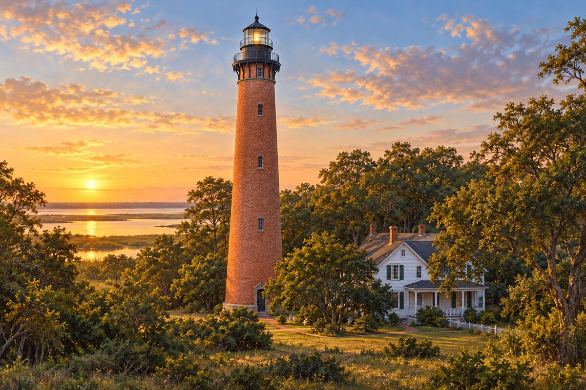
Currituck Beach Light
Corolla; unpainted red-brick lighthouse of 1875, with the original lens still turning
Climb the 220 steps to the outdoor gallery for the view over the sound, the dunes and the ocean.
2
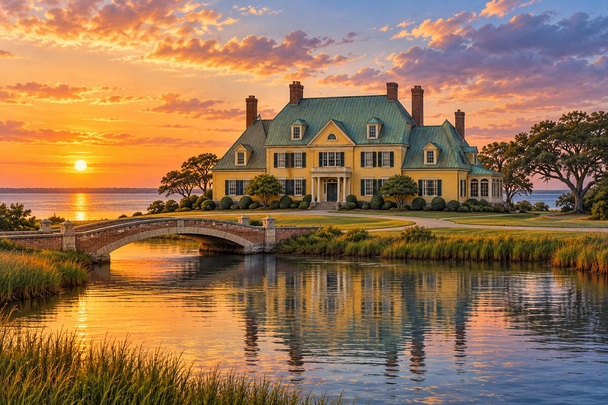
Whalehead
Historic Corolla Park; 1925 Art Nouveau winter house on Currituck Sound
Take the museum tour of the restored rooms, with Mrs. Knight's Steinway piano and the Tiffany sconces, then walk the soundfront grounds.
Day 2 · <0.1 mi (<0.1 km)
1
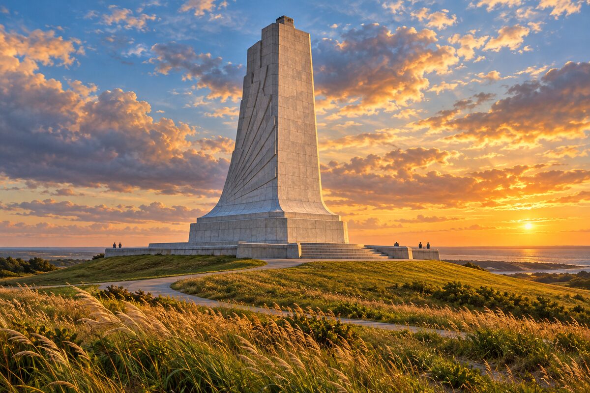
Wright Brothers National Memorial
Kill Devil Hills; site of the first powered flights, 17 December 1903
Stand at the boulder that marks the lift-off point, walk past the markers where each of the four flights landed, then climb Kill Devil Hill to the granite monument.
More of the top sights
A few of the 14 places in the full guide. Each one has its own written guide in the app: what to do, what to notice, the history, and why it hits.
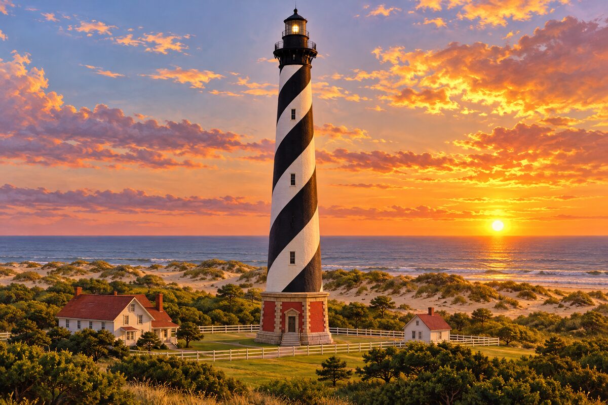
Cape Hatteras Lighthouse
Buxton; tallest brick lighthouse in the United States, with black spiral stripes, moved inland in 1999
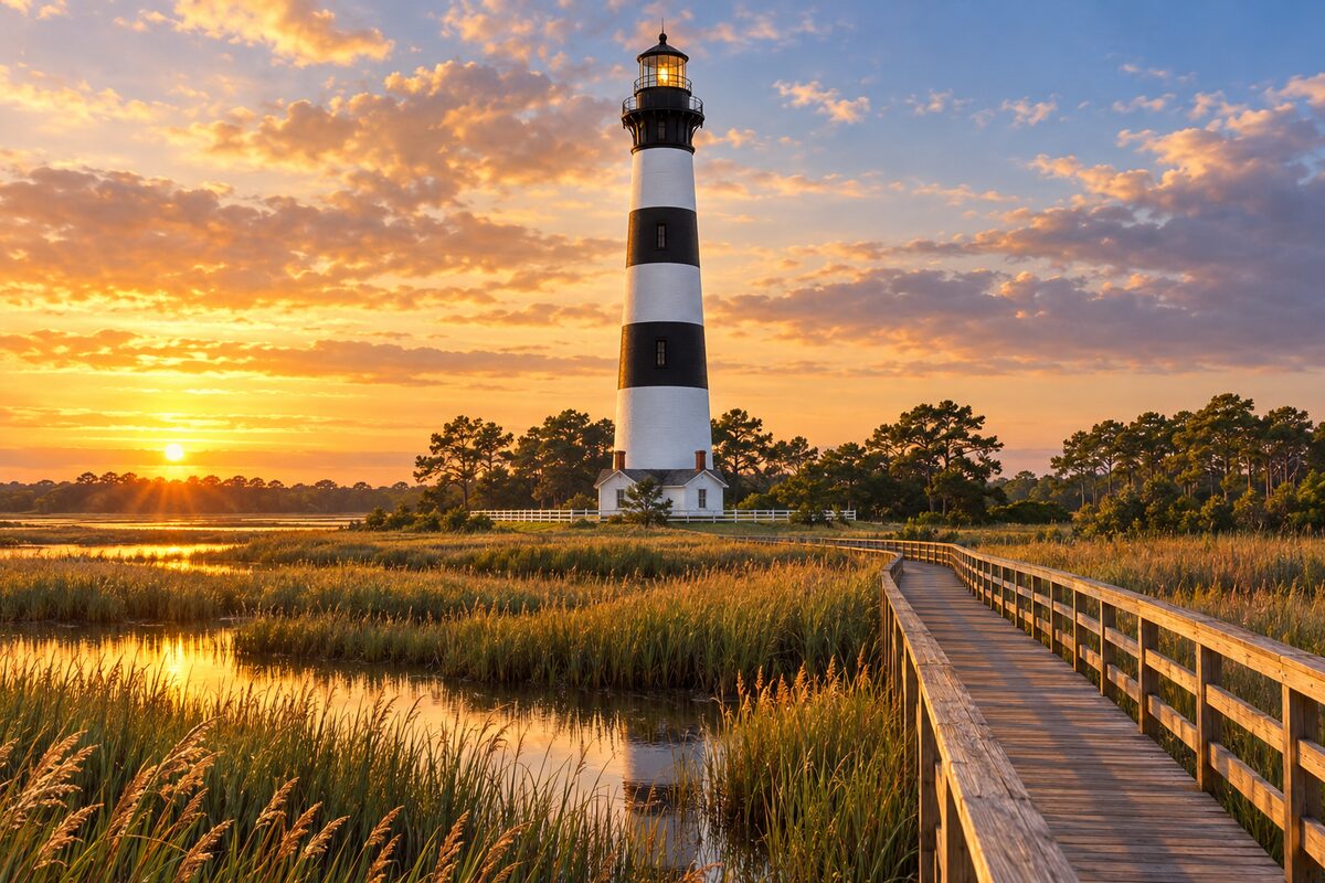
Bodie Island Lighthouse
south of Nags Head; 1872 lighthouse over the marsh, open to climb in season
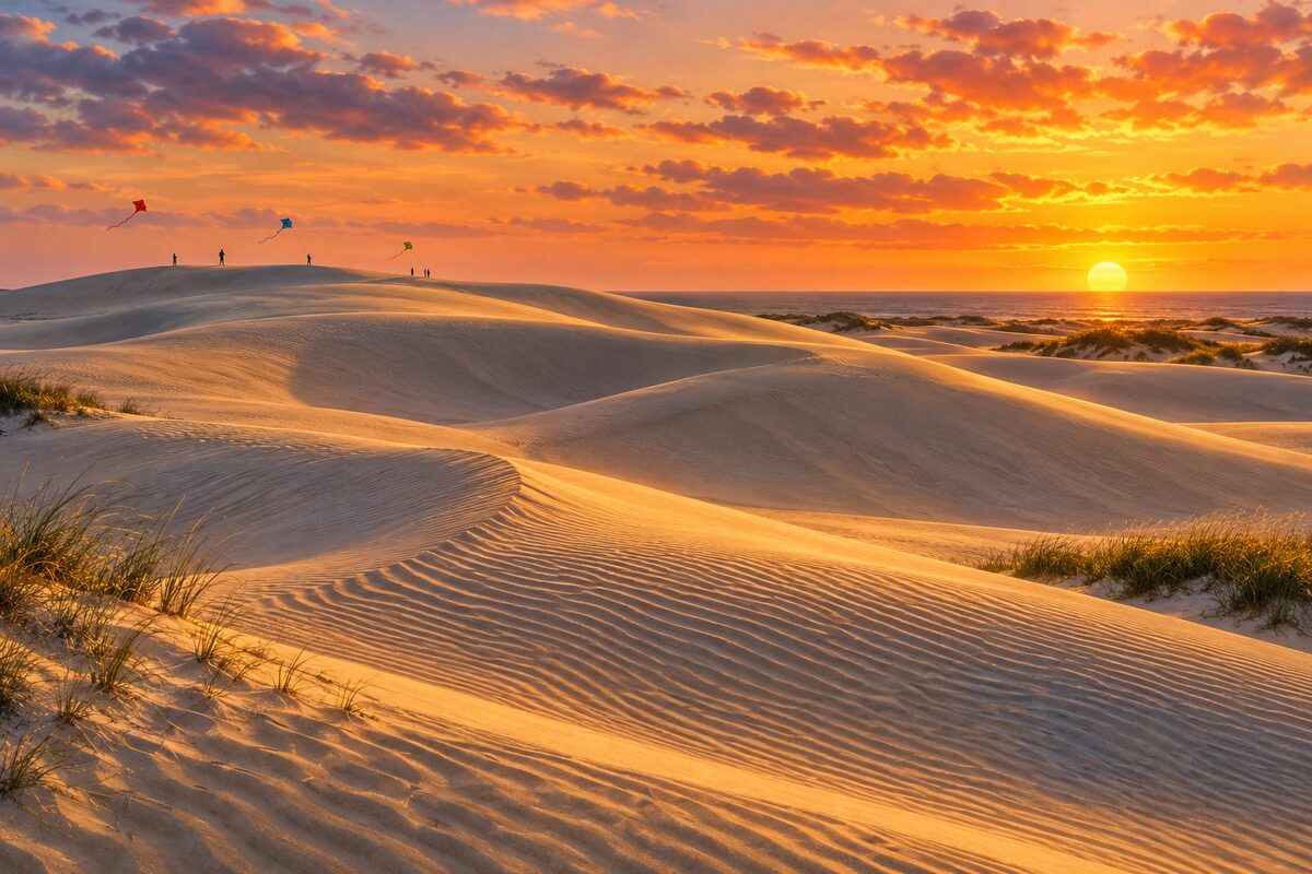
Jockey's Ridge State Park
Nags Head; tallest living sand dune system on the Atlantic coast, between ocean and Roanoke Sound
Areas
Corolla to Kitty Hawk · Nags Head and Roanoke Island · Bodie and Hatteras Islands · Ferry and Ocracoke
Illustrations are drawn for the app. Place descriptions are written by hand and checked against a primary source; facts draw on Wikidata (CC0) and Wikipedia (CC BY-SA). Maps © OpenStreetMap contributors.