Guides · Oregon Coast 101
Oregon Coast 101
19 places · 5 areas · the first stage free, then $4.99 for the whole city · offline map 14.3 MB
Try it free
The first stage of Oregon Coast 101 is free
The map and every stage title are open; the first stage opens with its full guide. Unlock the drive for the rest.
The free first stage
3 of the highlights, 3 days, about <0.1 mi (<0.1 km), planned by the app's own engine and shown here with their guide. In the app you choose your own.
Day 1 · <0.1 mi (<0.1 km)
1
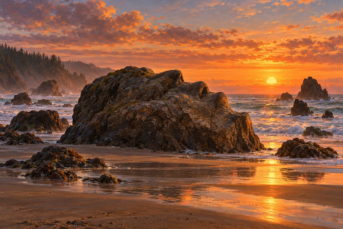
Face Rock State Scenic Viewpoint
Bandon; clifftop viewpoint over a sea stack shaped like a human face
Find the face in the offshore rock from the viewing scope, then take the stairway and trail down to the beach among the rocks.
Day 2 · <0.1 mi (<0.1 km)
1
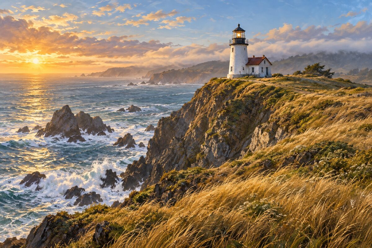
Cape Blanco Lighthouse
Cape Blanco, near Port Orford; Oregon's oldest lighthouse, on the state's westernmost bluffs
Climb the winding stairway inside the tower to see the Fresnel lens, then scan the sea from the bluffs; they are a known whale-watching spot.
Day 3 · <0.1 mi (<0.1 km)
1
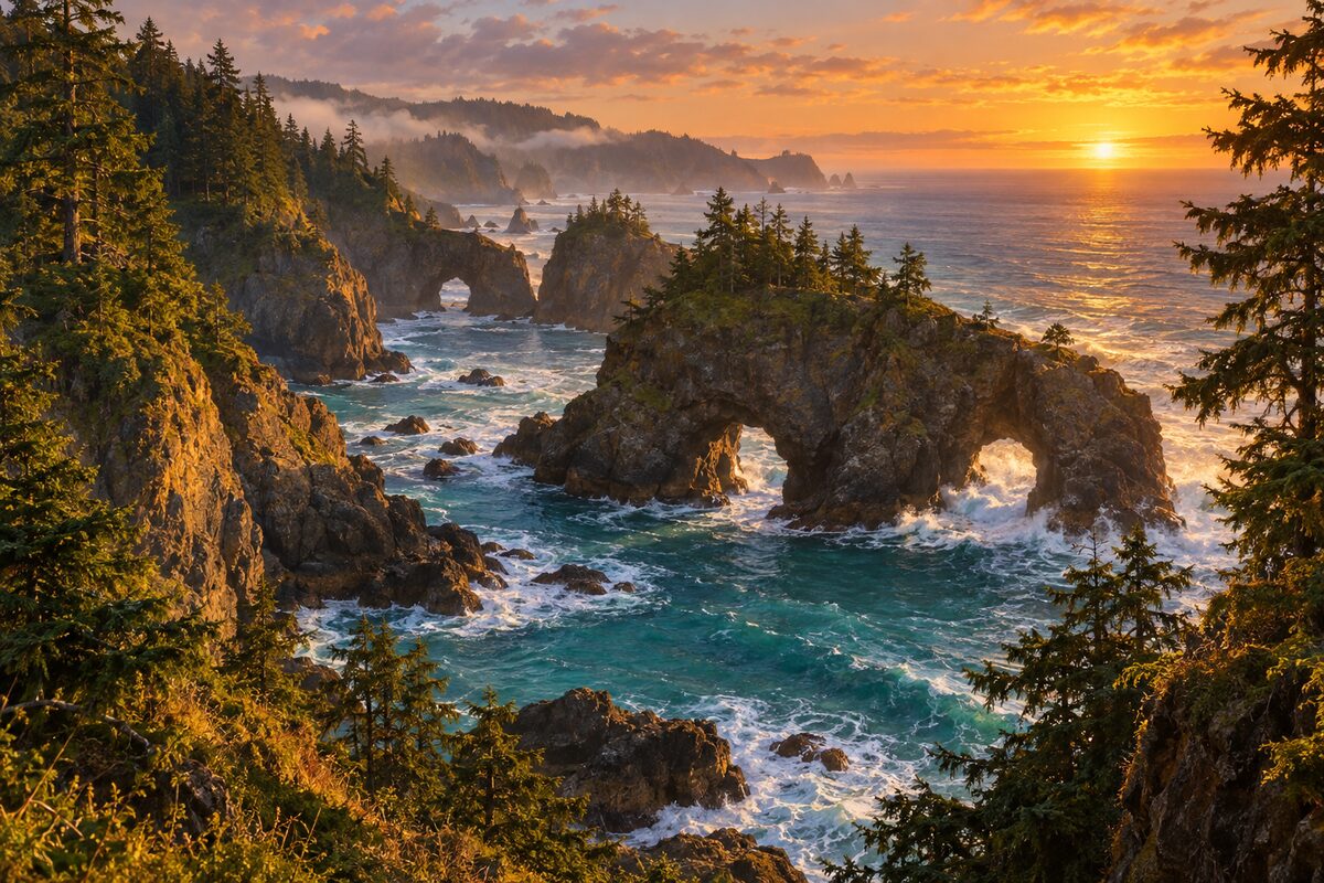
Samuel H. Boardman State Scenic Corridor
north of Brookings; 12 miles of sea stacks, arches and Sitka spruce along US 101
Work north through the pullouts: the short trail at Natural Bridge to its seven arch rocks, then Arch Rock's overlook and the Boardman memorial at House Rock.
More of the top sights
A few of the 19 places in the full guide. Each one has its own written guide in the app: what to do, what to notice, the history, and why it hits.
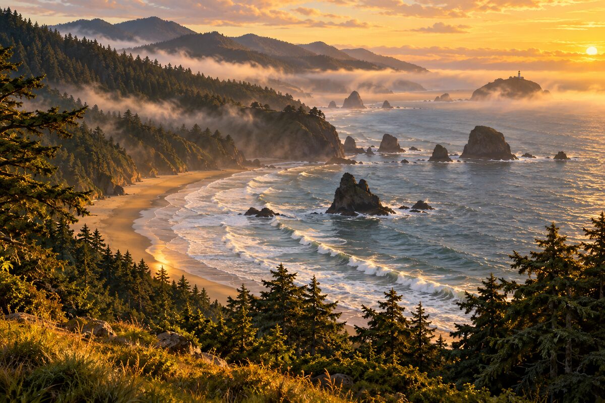
Ecola State Park
north of Cannon Beach; spruce-forested Tillamook Head over sea stacks and Indian Beach
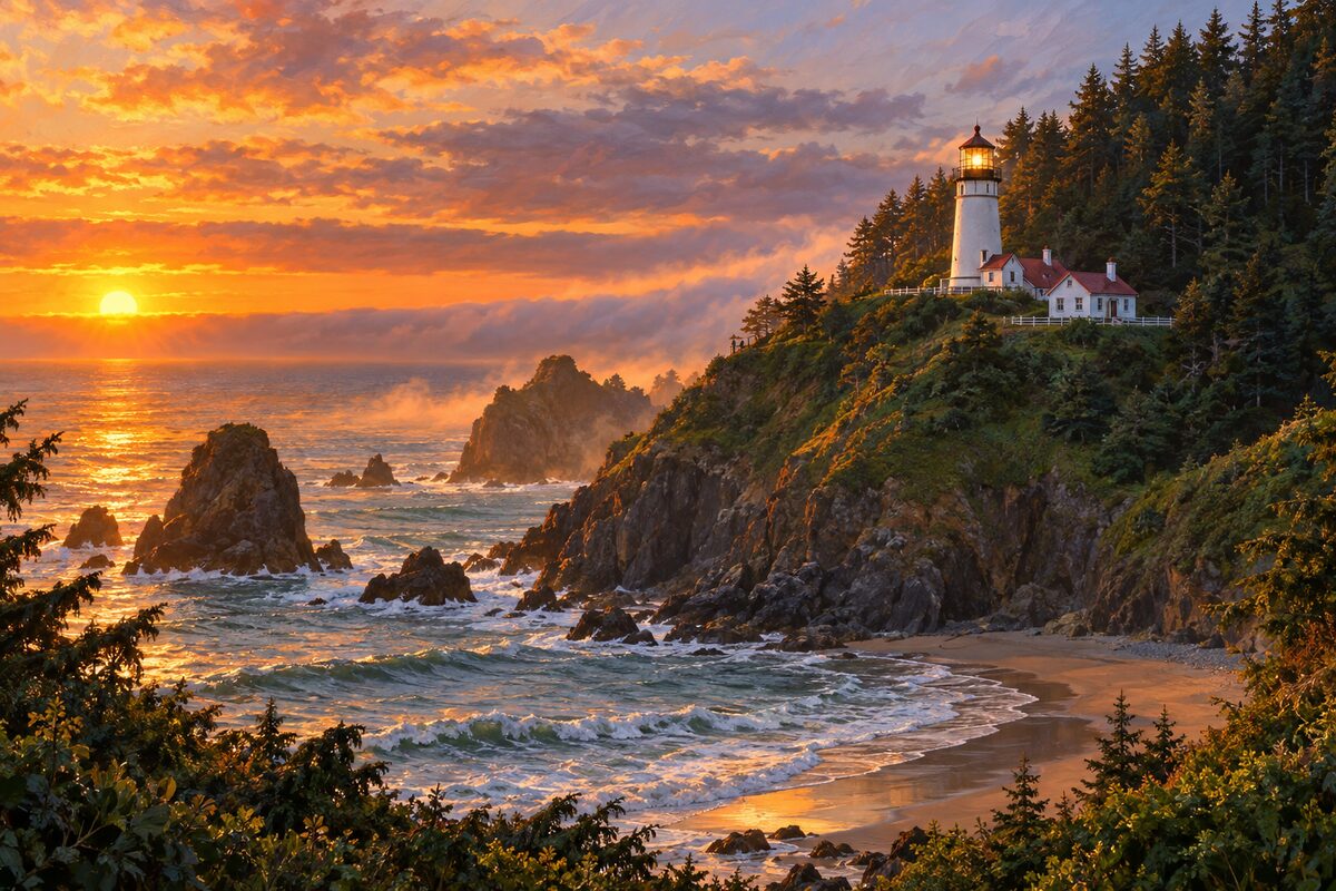
Heceta Head Lighthouse
north of Florence; 1894 lighthouse on a headland above a cove, the strongest light on the Oregon coast
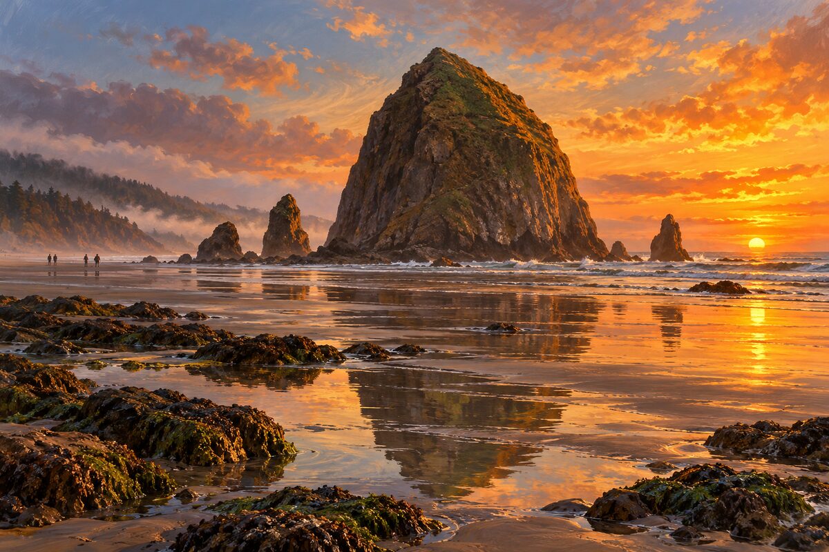
Haystack Rock
Cannon Beach; 235-foot sea stack with tide pools and nesting puffins
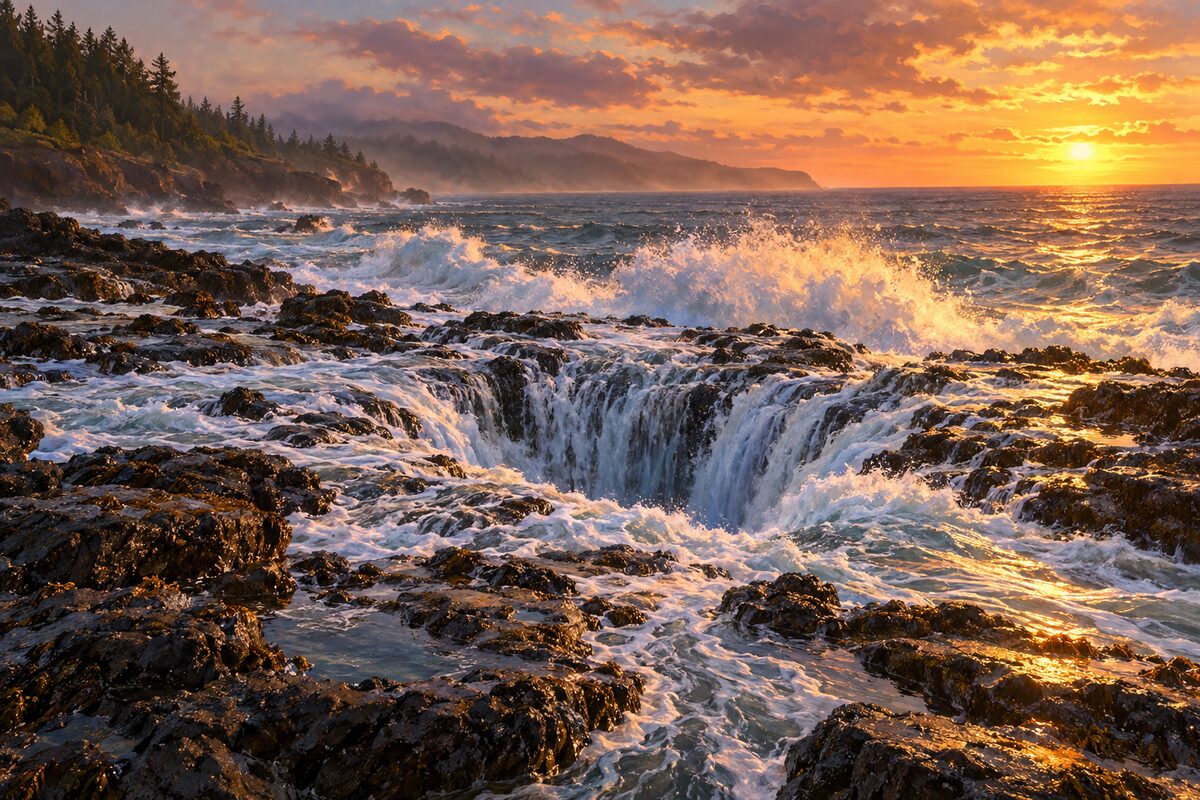
Cape Perpetua Scenic Area
south of Yachats; old-growth headland over a lava shore with Thor's Well, Devil's Churn and tide pools
Areas
Southern Coast · Coos Bay and the Dunes · Florence to Newport · Depoe Bay to Tillamook · North Coast and Astoria
Illustrations are drawn for the app. Place descriptions are written by hand and checked against a primary source; facts draw on Wikidata (CC0) and Wikipedia (CC BY-SA). Maps © OpenStreetMap contributors.