Guides · New Orleans
New Orleans
146 places · 17 areas · a free route, then $4.99 for the whole city · offline map 11.3 MB
The free route
Free in the app, permanently, before you pay anything. 8 stops, 1 day, about 0.7 km, planned by the app's own engine.
Day 1 · ~0.7 km
1
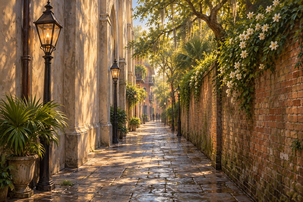
Pirate's Alley
A flagstone cut beside the cathedral, with the house where Faulkner finished his first novel at the end
Walk it from the square end towards Royal, early, before the tour groups fill it, and look up at the galleries on both sides.
2
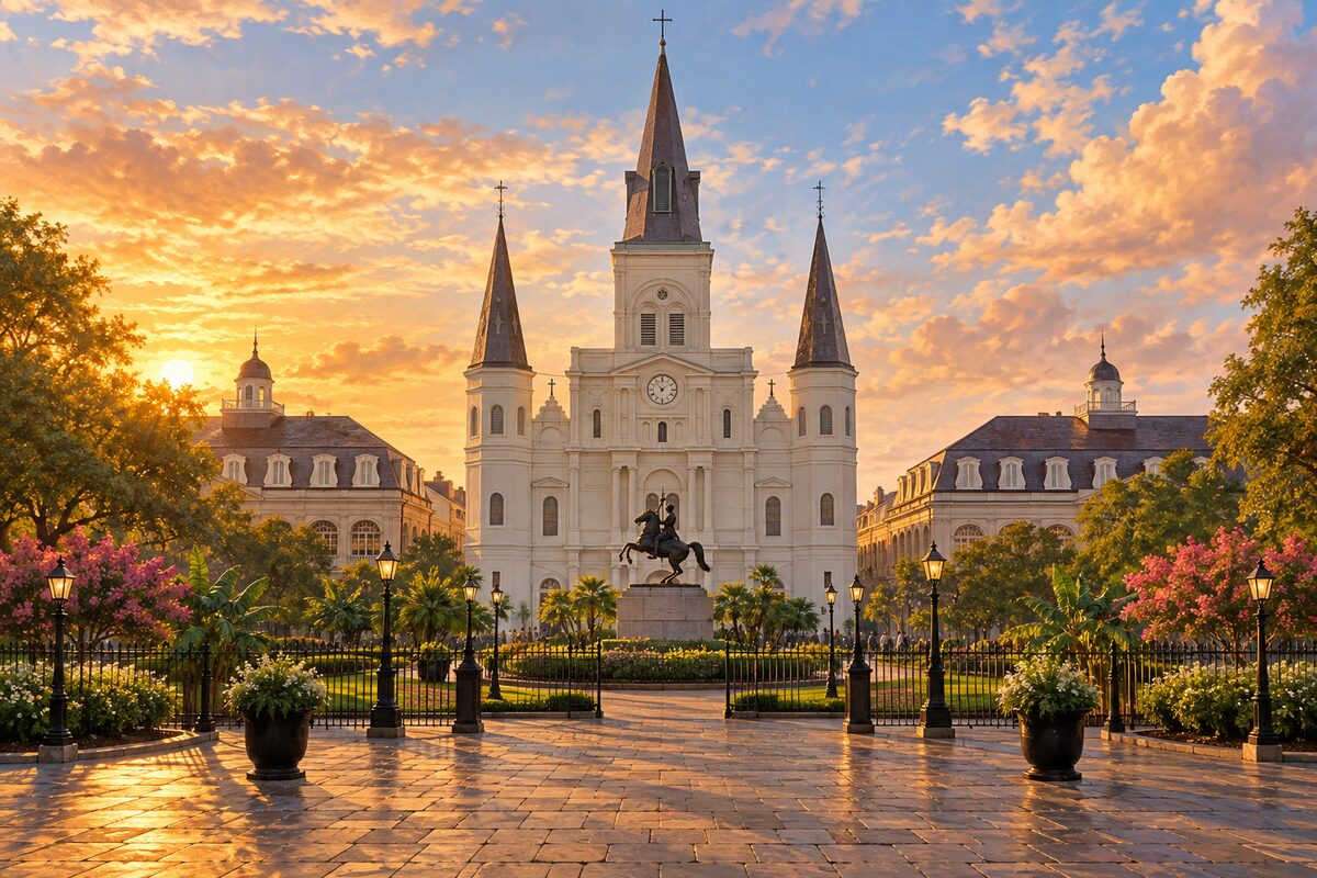
St. Louis Cathedral
Three churches have stood here; the one you walk into is the 1850s rebuilding, not the Spanish one
Go in and look up at the ceiling paintings, then come out and cross to the far side of the square to see what the three towers do to the skyline.
3
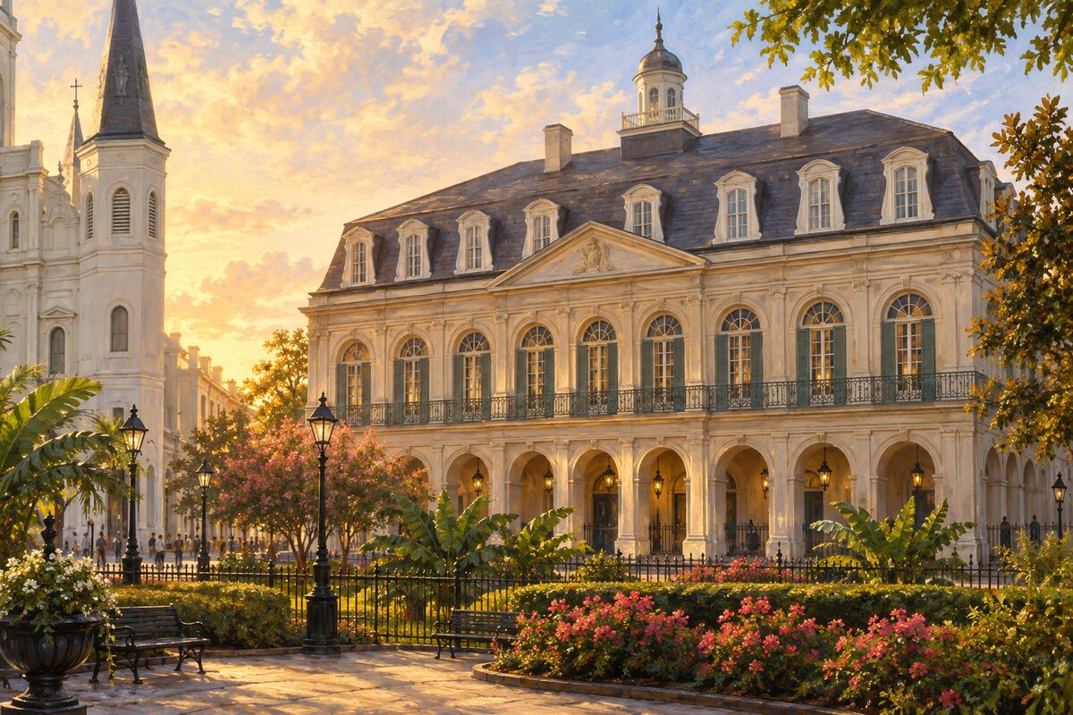
The Presbytère
Built as a priests house and never used as one, it now holds the Carnival and Katrina collections
The building gives you the hurricanes first, on the ground floor, and Carnival upstairs. Take them in that order and let the first one sit under the second.
4
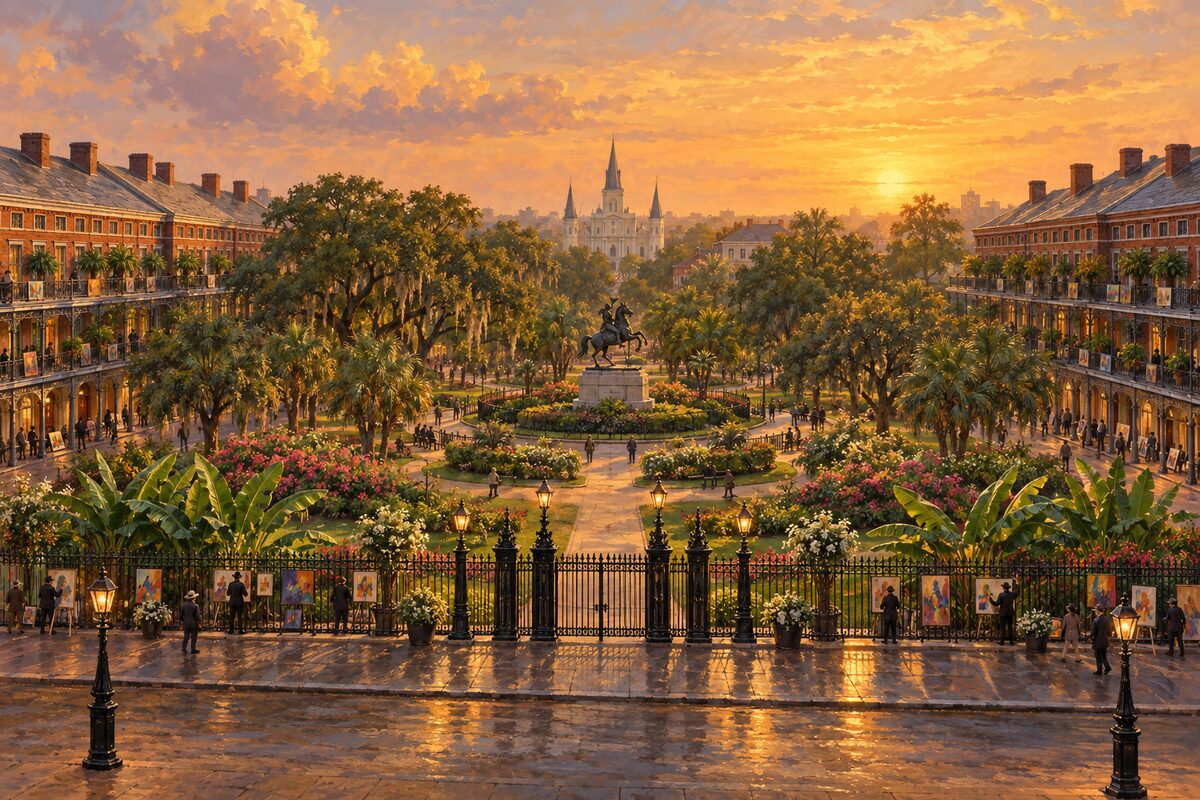
Jackson Square
The parade ground the city was laid out around, and where the whole plan is still legible
Stand at the river end with your back to the water: church in the middle, the Cabildo on one side, the Presbytere on the other, and the fourth side left open. The two flanking buildings came seventy years after the plan, but they hold the shape it set.
5
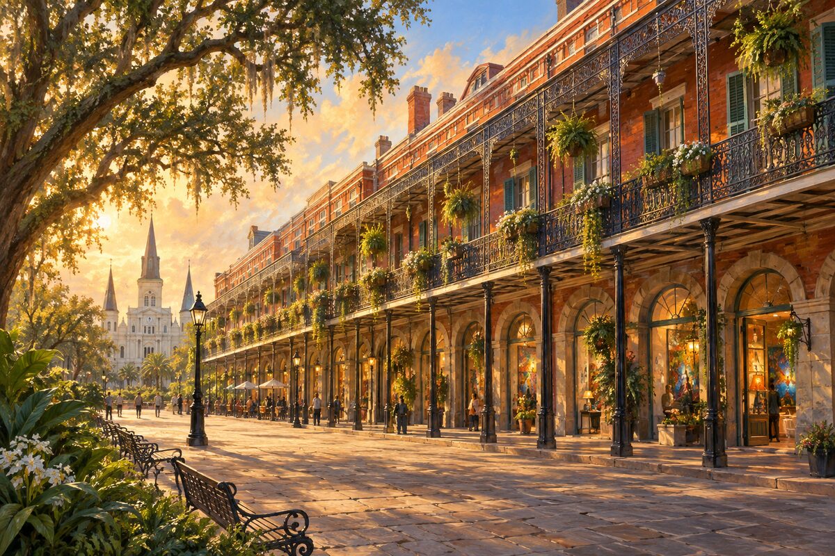
Pontalba Buildings
Row blocks flanking the square, built by a baroness whose father-in-law shot her four times and then killed himself
Walk both blocks and look up at the cast-iron galleries, then look for the initials worked into the ironwork.
6
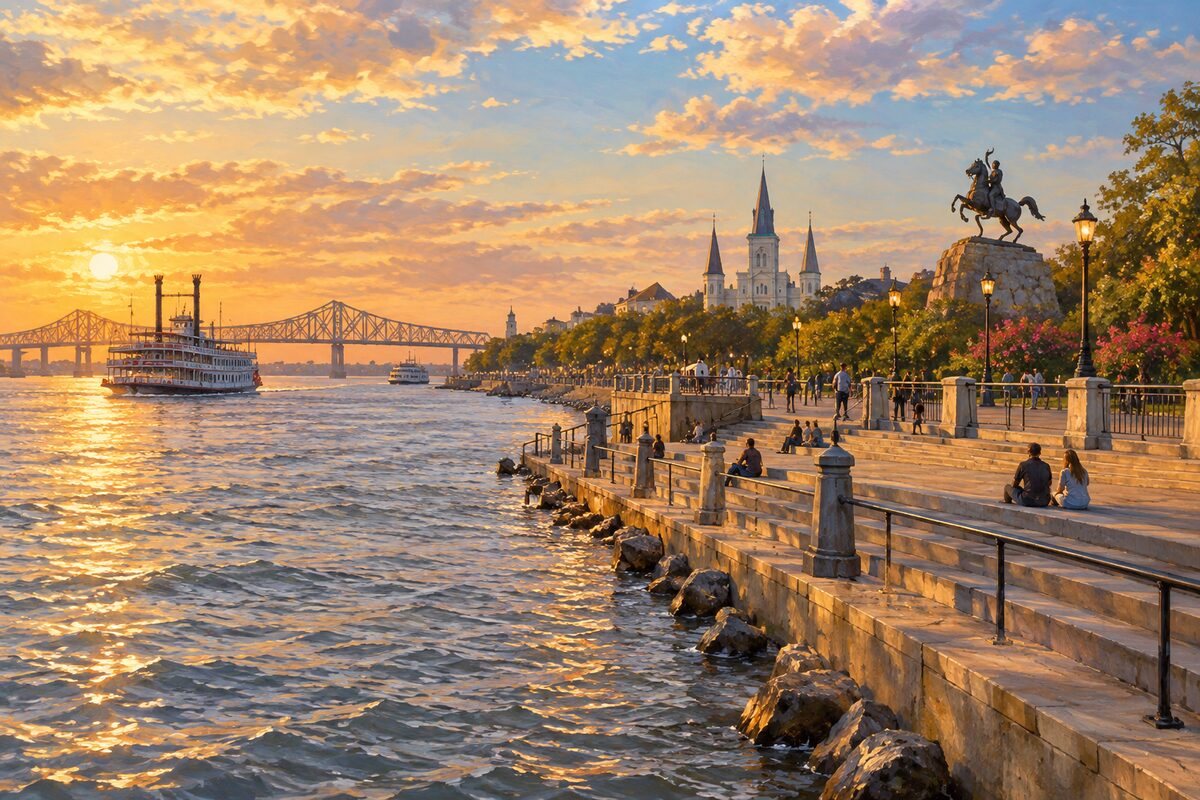
Washington Artillery Park and the Moonwalk
The steps that put the cathedral over your shoulder and the river at your feet
Climb the steps for the square and the cathedral in one frame, then drop down the far side onto the boardwalk and walk it upriver with the working river beside you.
7
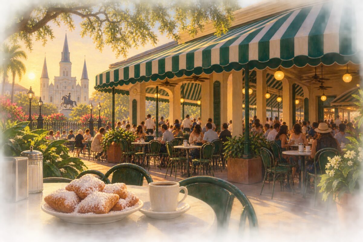
Café du Monde
Chicory coffee and beignets on the same corner of the market since 1862
Order at the table under the awning rather than the takeaway window, and let the coffee cut the sugar.
8
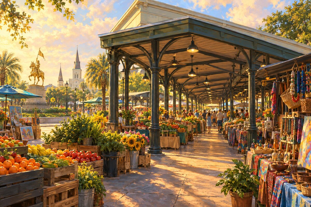
French Market
A market on this ground since the Choctaw traded here, though the shed you walk through is largely 1930s
Start at the upriver end where the produce and food stalls are and walk downriver until the stalls turn to souvenirs, which is where most people should turn around.
More of the top sights
A few of the 146 places in the full guide. Each one has its own written guide in the app: what to do, what to notice, the history, and why it hits.
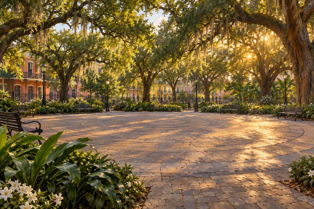
Congo Square
Where enslaved people were allowed to gather on Sundays, and the drumming fed everything after
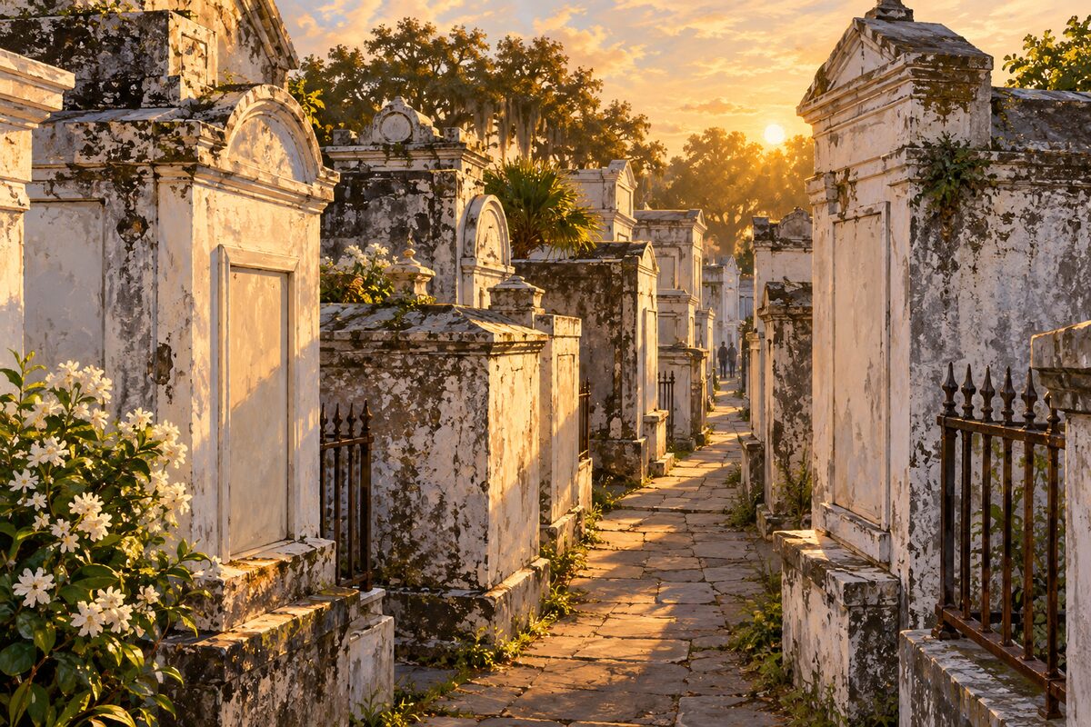
St. Louis Cemetery No. 1
The oldest surviving cemetery in the city, and nobody goes in without a licensed guide
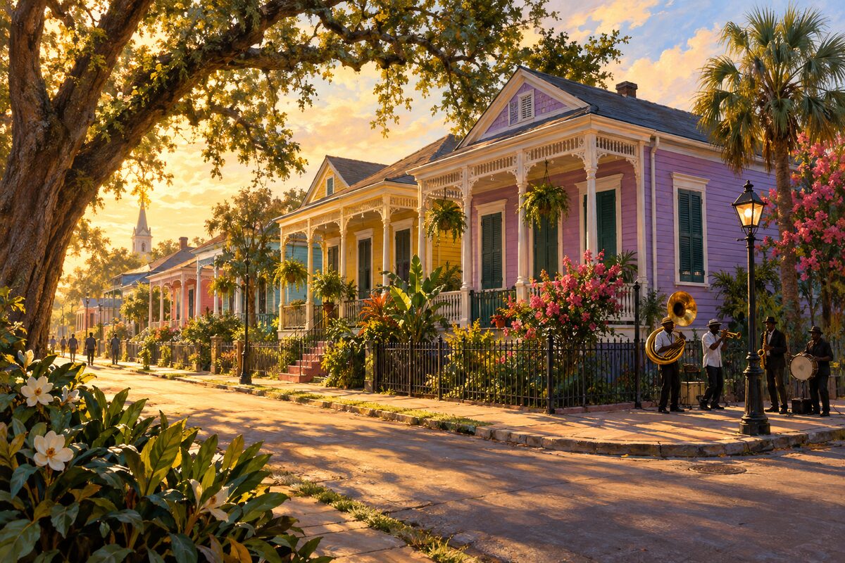
Tremé
One of the oldest neighbourhoods of free people of colour in the country, and still lived in
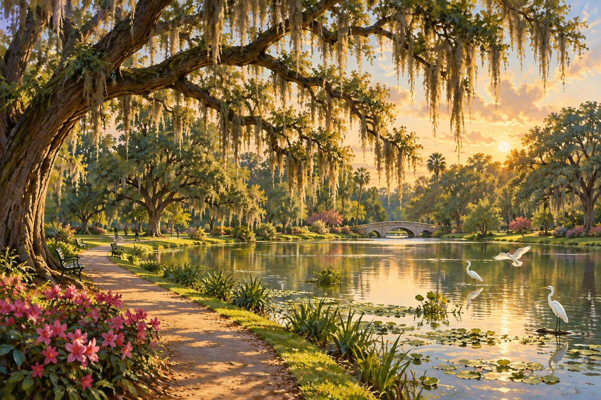
Audubon Park
Laid out by the Olmsted firm on the grounds of the 1884 world's fair
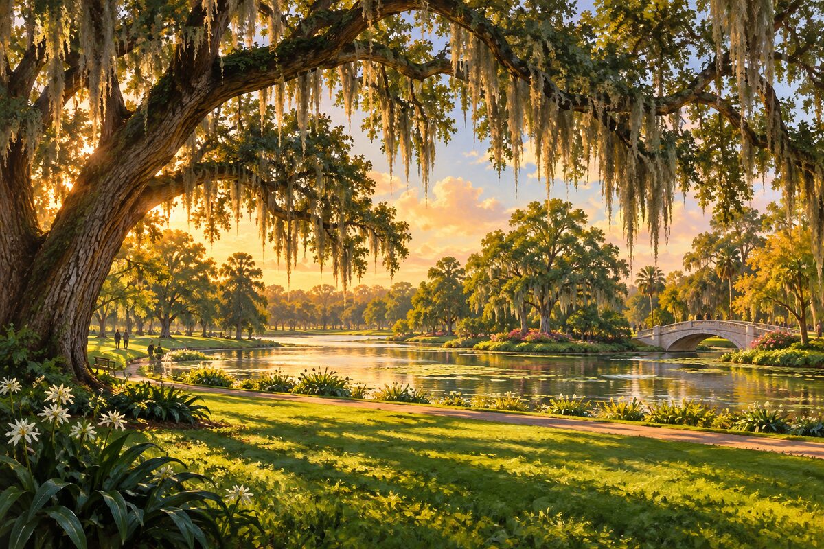
City Park
Thirteen hundred acres, half again the size of Central Park, on the ridge between the bayou and the lake
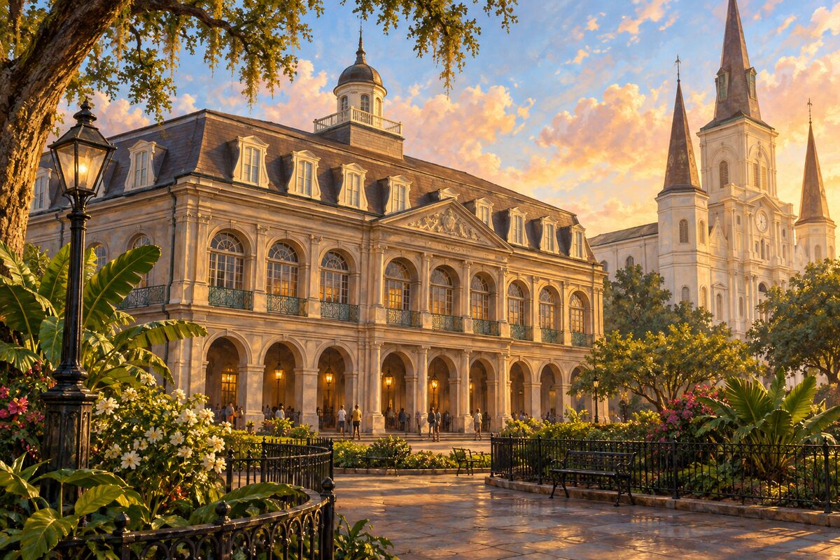
The Cabildo
Where Louisiana changed hands in 1803, in the room the Spanish had built for their own council
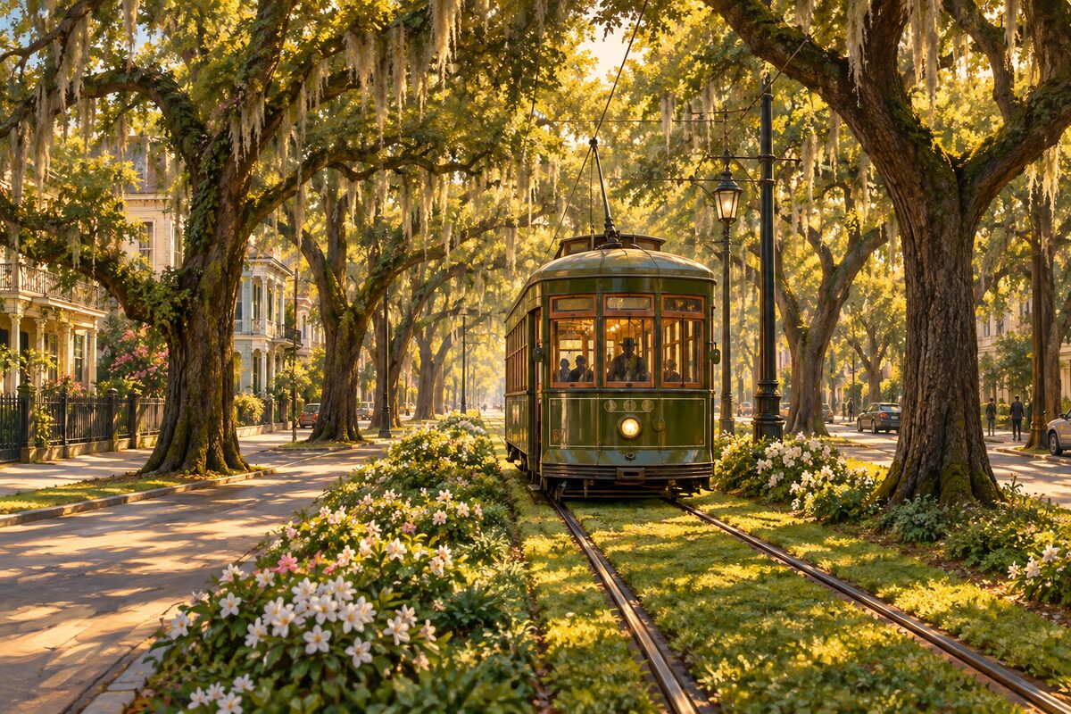
St. Charles Streetcar Line
Running since 1835 and the oldest continuously operating street railway in the world; the cars are from 1923
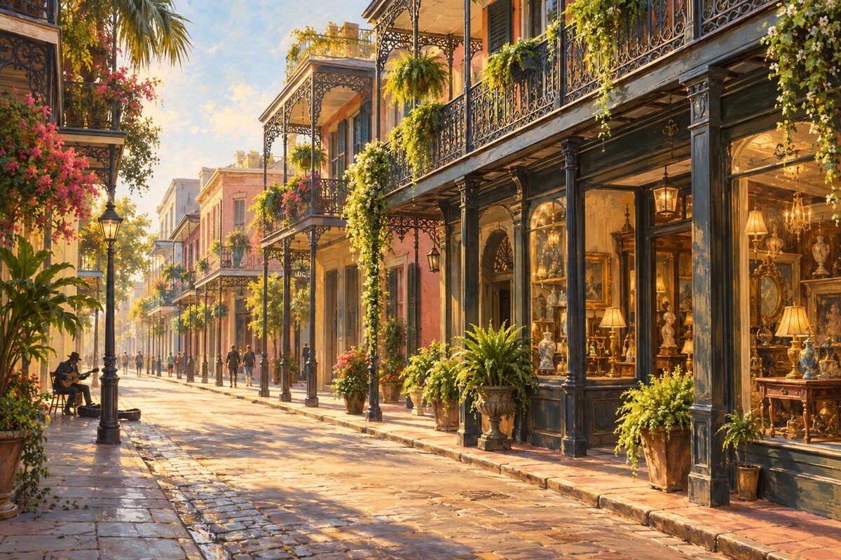
Royal Street
The Quarter's money street: cast-iron galleries, antique dealers, and the blocks that close to cars for buskers
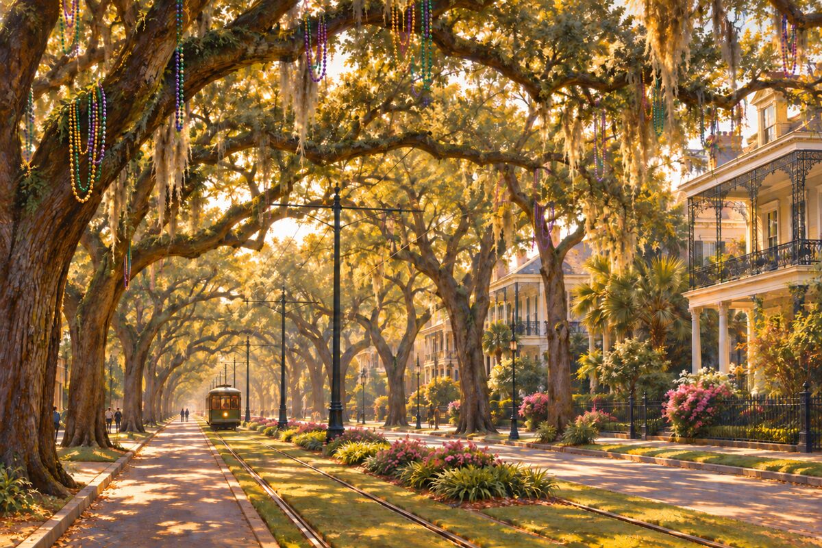
St. Charles Avenue
Six lanes of oaks and mansions, and the parade route the whole city stands on in Carnival season
Areas
Jackson Square & the Riverfront · The Upper Quarter · The Lower Quarter & Esplanade · Faubourg Marigny & Bywater · The Lower Ninth Ward & Holy Cross · Tremé & Congo Square · Esplanade Ridge & Bayou St. John · The Central Business District · The Warehouse & Arts District · Central City & Oretha Castle Haley · The Lower Garden District · The Garden District · Uptown & Audubon Park · Carrollton & the Riverbend · Mid-City · City Park · Algiers Point
Illustrations are drawn for the app. Place descriptions are written by hand and checked against a primary source; facts draw on Wikidata (CC0) and Wikipedia (CC BY-SA). Maps © OpenStreetMap contributors.