Guides · Natchez Trace Parkway
Natchez Trace Parkway
16 places · 3 areas · the first stage free, then $4.99 for the whole city · offline map 9.1 MB
Try it free
The first stage of Natchez Trace Parkway is free
The map and every stage title are open; the first stage opens with its full guide. Unlock the drive for the rest.
The free first stage
6 of the highlights, 6 days, about <0.1 mi (<0.1 km), planned by the app's own engine and shown here with their guide. In the app you choose your own.
Day 1 · <0.1 mi (<0.1 km)

1
Cypress Swamp
milepost 122, near Canton; boardwalk loop through tupelo and bald cypress in an old Pearl River channel
Walk the 0.4-mile boardwalk loop among bald cypress and water tupelo standing in the water.
Day 2 · <0.1 mi (<0.1 km)

1
Rocky Springs
milepost 54.8; site of a vanished town, with its 1837 church, cemetery and two rusting safes
Follow the short loop through the old town site past the cisterns and safes, then climb up to the church and its cemetery.
Day 3 · <0.1 mi (<0.1 km)

1
Sunken Trace
milepost 41.5; short walk down a stretch of the Old Trace worn deep into the soil
Walk the 600-foot path along the old roadbed, between banks worn high by two centuries of feet and hooves.
Day 4 · <0.1 mi (<0.1 km)

1
Windsor Ruins
Claiborne County, off Highway 552 past Alcorn State University; 23 columns of a mansion that burned in 1890
Walk the trail around the column perimeter and read the signs about the owners and the people enslaved here.
Day 5 · <0.1 mi (<0.1 km)

1
Mount Locust
milepost 15.5; inn and plantation house begun by 1780, one of the two stands left on the Trace
Walk uphill from the information center to the house, then follow the half-mile trail network to the grape arbor, the brick kiln and the cemeteries of the owners and of the enslaved workers.
Day 6 · <0.1 mi (<0.1 km)

1
Emerald Mound
milepost 10.3, near Natchez; eight-acre ceremonial mound of the Mississippian period
Walk the 400-foot path up to the eight-acre plateau and look out over the countryside from the top of the mound.
More of the top sights
A few of the 16 places in the full guide. Each one has its own written guide in the app: what to do, what to notice, the history, and why it hits.
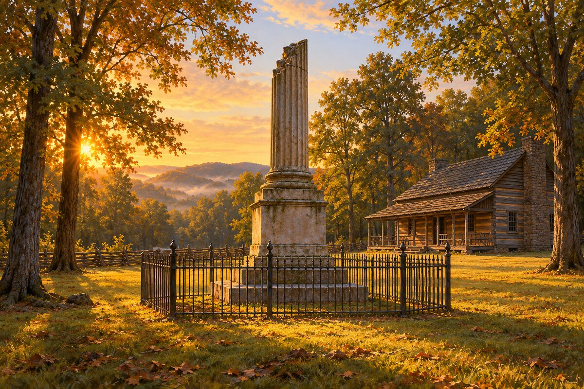
Meriwether Lewis Monument
milepost 385.9, near Hohenwald; broken-column monument over the grave of the explorer, by the site of Grinder's Stand
Areas
Natchez to Jackson · Central Mississippi and Tupelo · Tennessee
Illustrations are drawn for the app. Place descriptions are written by hand and checked against a primary source; facts draw on Wikidata (CC0) and Wikipedia (CC BY-SA). Maps © OpenStreetMap contributors.