Guides · Nashville
Nashville
125 places · 19 areas · a free route, then $4.99 for the whole city · offline map 12.4 MB
The free route
Free in the app, permanently, before you pay anything. 7 stops, 1 day, about 2 km, planned by the app's own engine.
Day 1 · ~2 km
1
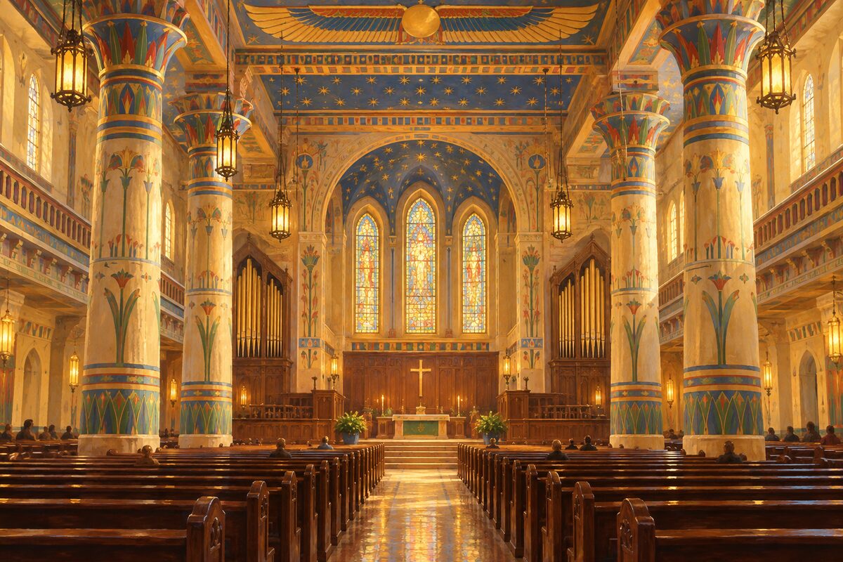
Downtown Presbyterian Church
Strickland's 1851 Egyptian Revival church, its sanctuary painted in the 1880s as a temple on the Nile
Step inside the sanctuary and look at the walls: the painted columns and the view into a painted Egyptian temple, adapted from Karnak, are trompe-l'oeil, flat plaster. Outside, compare the twin tapering towers and lotus columns with Strickland's capitol up the hill.
2
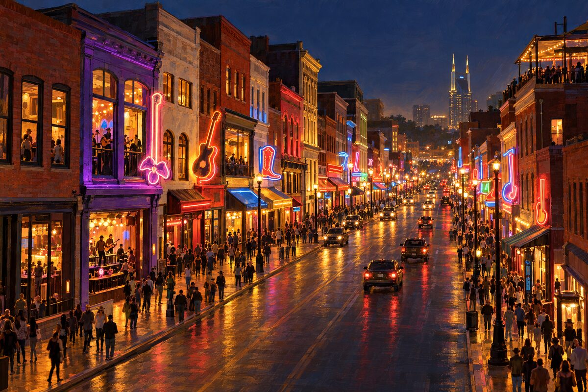
Lower Broadway
Four blocks of honky-tonks between First and Fifth Avenue, with live bands playing through open windows all day
Walk it from the river at First Avenue up to Fifth and back on the other pavement, stopping at doorways rather than going straight in: every bar has a band, and the sound changing every few metres is the point. Pick one room whose music you actually like and stay for a full set.
3
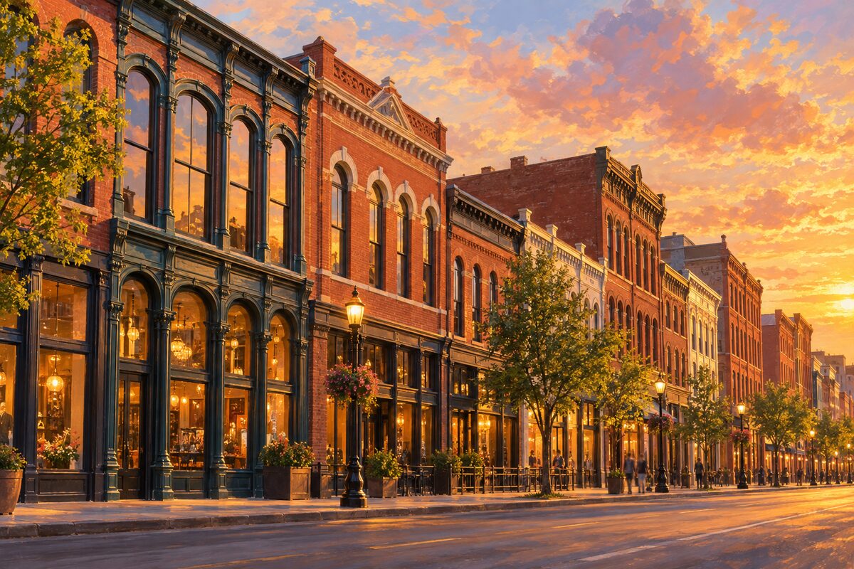
Historic Second Avenue
Cast-iron Victorian warehouse row, fully reopened in December 2025 after the Christmas 2020 bombing
Walk the middle block between Commerce and Church slowly, reading the granite pavers set into the new pavement, then stop at the AT&T building and look back along both sides of the street: restored fronts, bare shells and new infill stand next to each other.
4
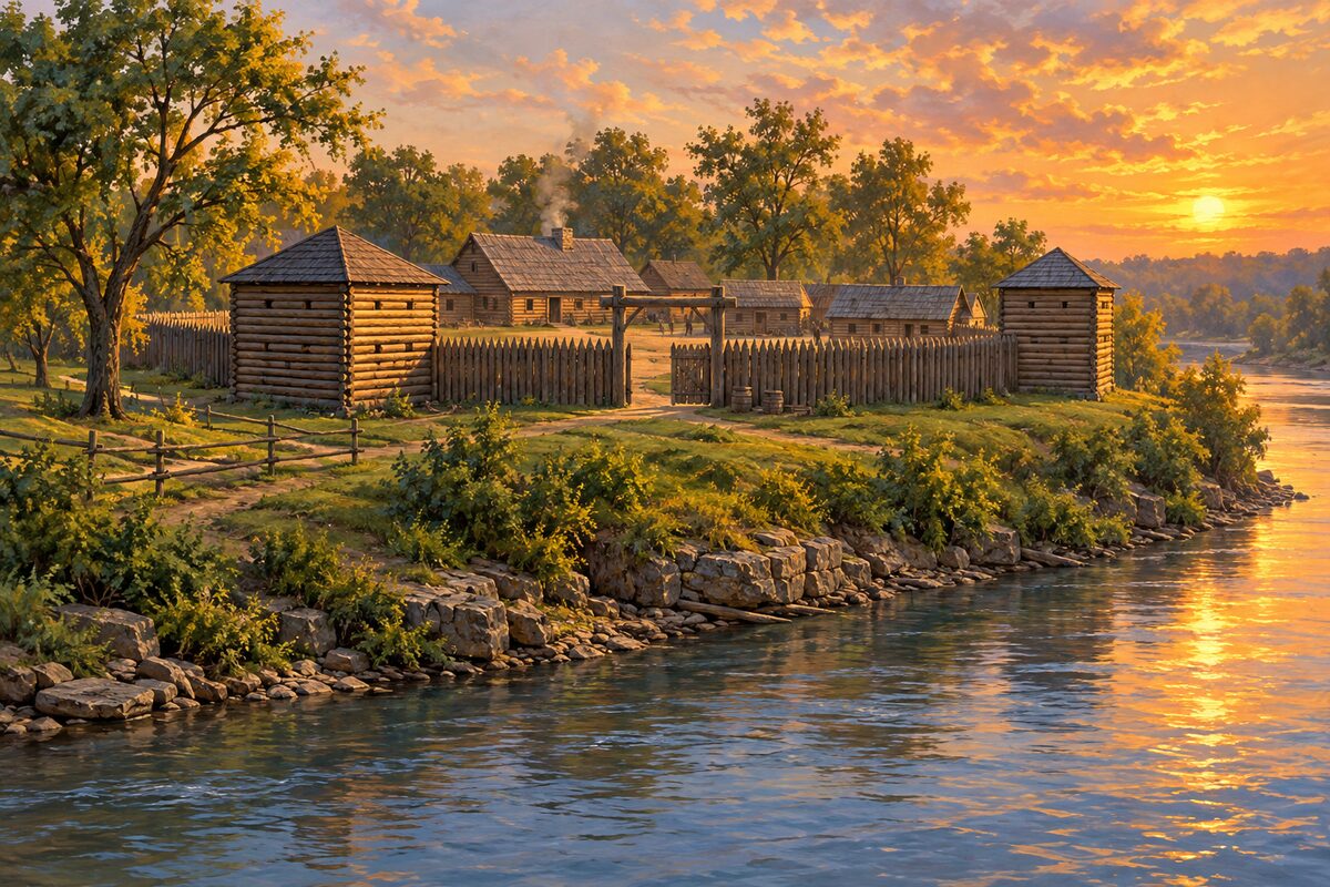
Fort Nashborough
An open-air history centre of log buildings on First Avenue, marking the 1779 stockade where the city began
Walk between the log buildings reading the panels, then go to the plaza at the south end devoted to the Native nations who hunted this land, and read the Cumberland Compact marker. Finish at the rail over the Cumberland to see why settlers chose this bluff.
5
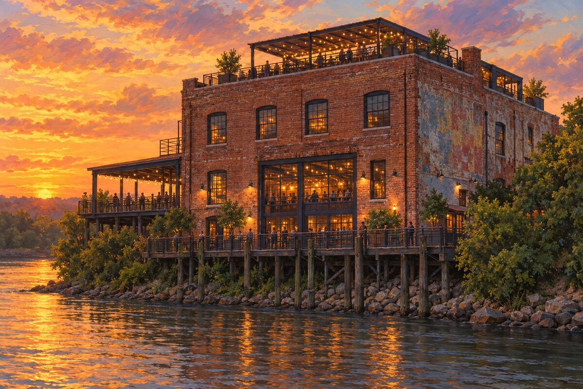
Acme Feed and Seed
An 1890 river-end warehouse that sold farm supplies for decades, now bars under a rooftop deck
Skip the ground-floor crowd and go straight up to the roof deck for the view across the Cumberland to the stadium and the pedestrian bridge. On the way down, stop on the second floor, which is quieter and more local.
6
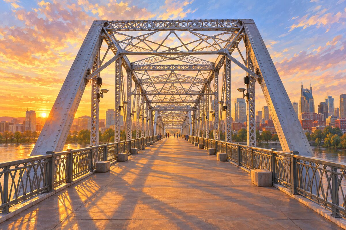
John Seigenthaler Pedestrian Bridge
A 1909 river truss bridge given over to walkers, with the whole downtown skyline laid out from midstream
Walk it end to end from the Schermerhorn side to the East Bank and turn round at the far landing for the view back. Stop at the midpoint overlooks: the Batman-eared AT&T tower, the Broadway rooftops and the river bend line up in one frame, best as the lights come on.
7
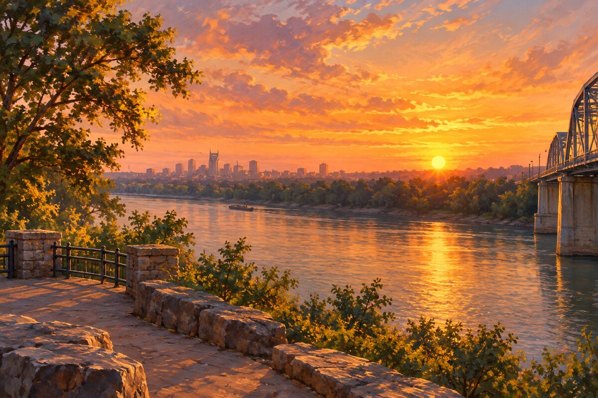
Shelby Street Bridge Overlook
The East Bank end of the pedestrian bridge, where downtown sits framed across the Cumberland
Get off the bridge deck at the East Bank end and use the landing as your tripod spot: the truss frames the skyline, and the river sits below with Riverfront Park across it. Stay past sunset for the blue hour, when office windows and the bridge lights come up together.
More of the top sights
A few of the 125 places in the full guide. Each one has its own written guide in the app: what to do, what to notice, the history, and why it hits.
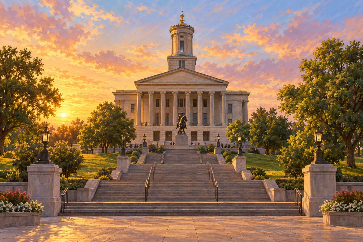
Tennessee State Capitol
Strickland's Greek Revival statehouse on the city's highest hill, with its architect sealed inside the wall
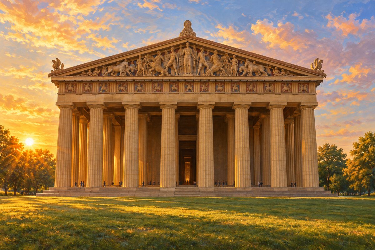
The Parthenon
Full-scale replica of the Athenian temple, rebuilt in concrete by 1931, with a 42-foot gilded Athena inside
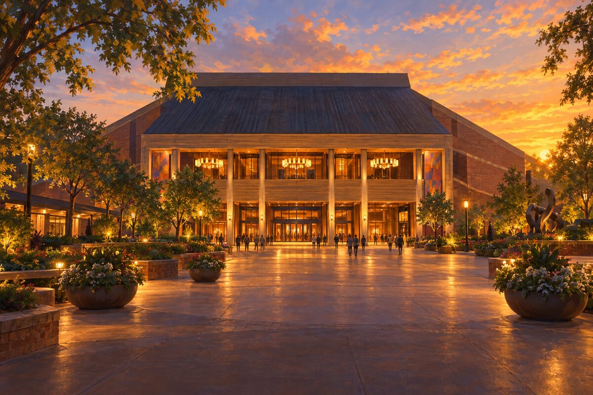
Grand Ole Opry House
The Opry's home since 1974, with a six-foot circle of the Ryman's old stage set into the floor
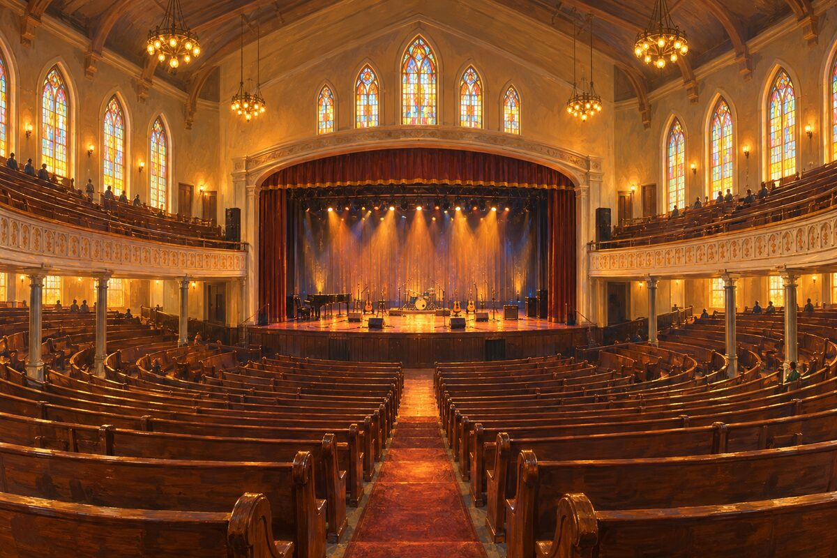
Ryman Auditorium
An 1892 revival tabernacle that housed the Grand Ole Opry for three decades and still seats you on pews
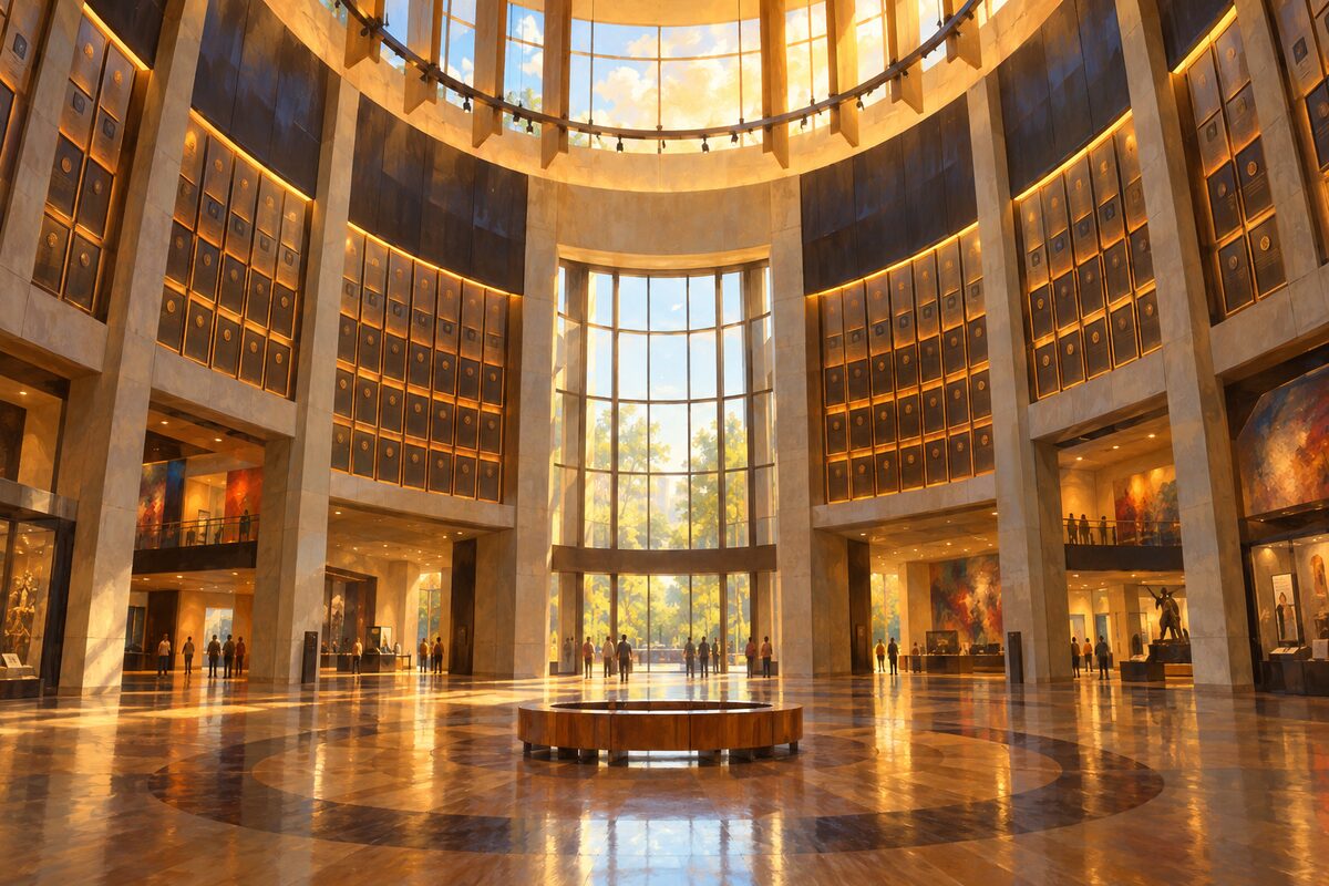
Country Music Hall of Fame and Museum
The genre's archive behind piano-key windows, with Elvis's gold Cadillac and the plaque rotunda at the top
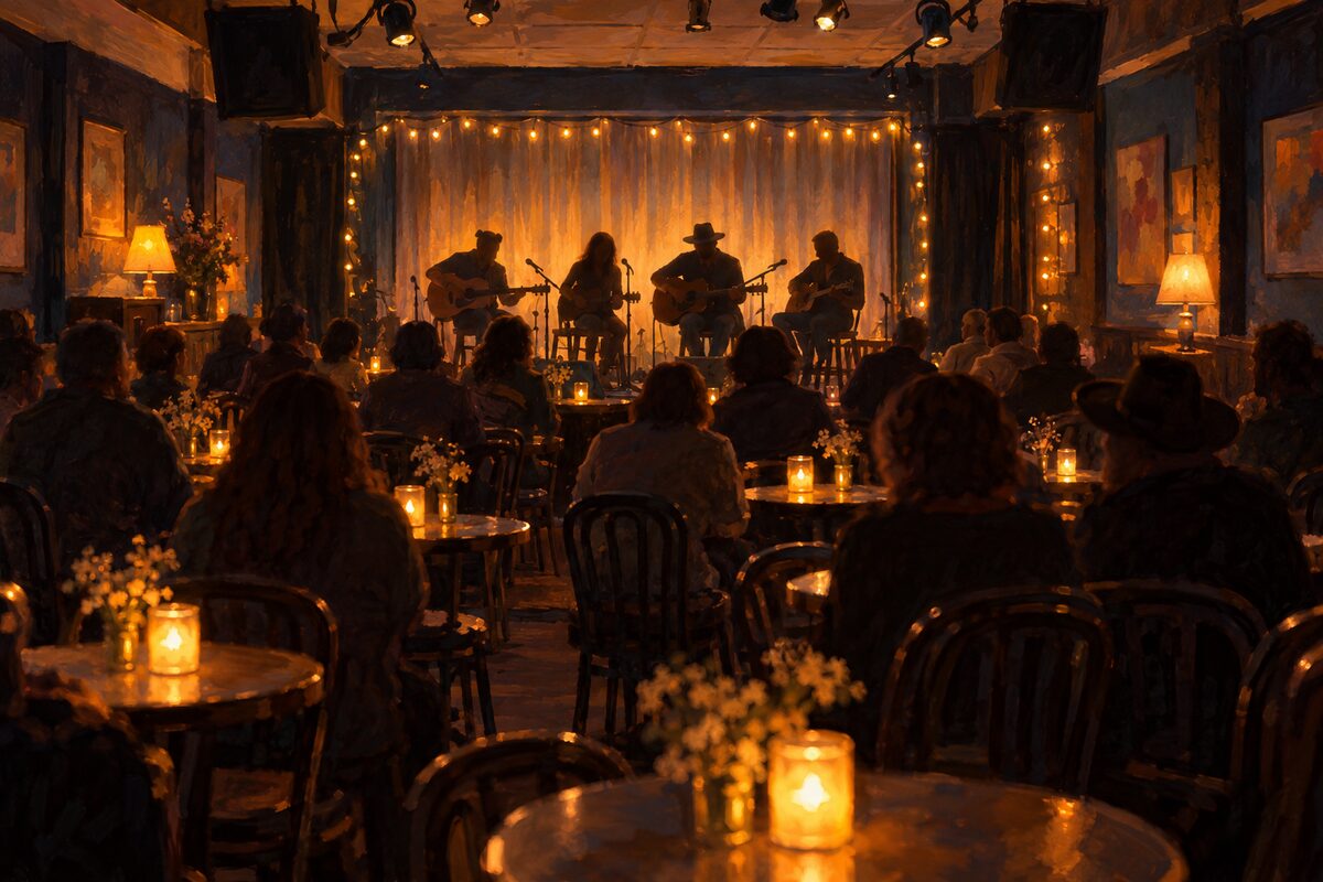
The Bluebird Cafe
A ninety-seat strip-mall room on Hillsboro Pike where Nashville's songwriters play their songs in the round
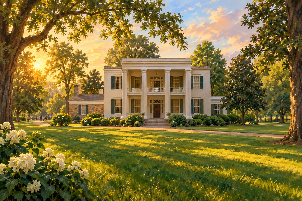
Andrew Jackson's Hermitage
The seventh president's plantation and grave, where the enslaved community is half the site and half the story
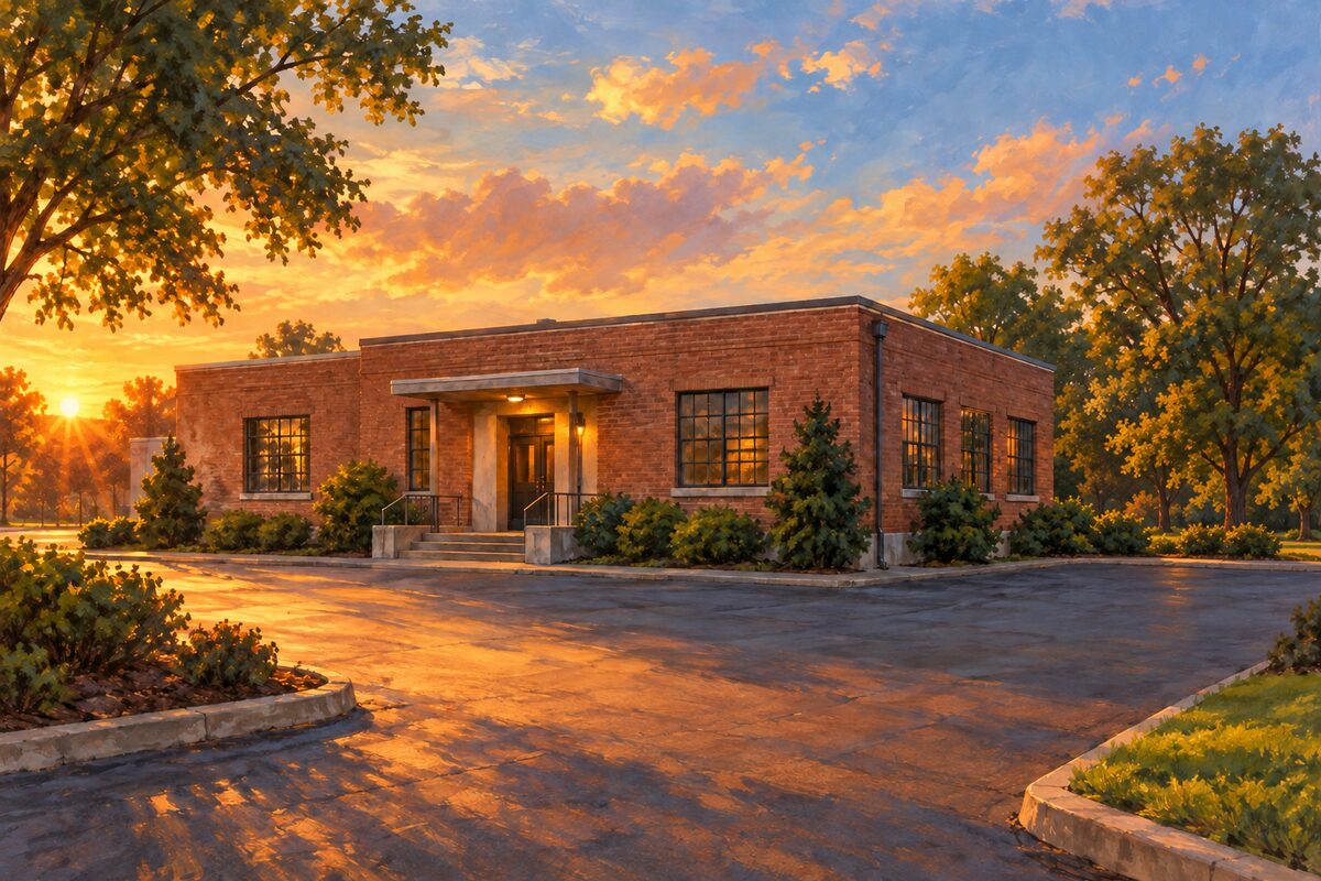
RCA Studio B
RCA's 1957 studio where Elvis recorded more than 240 songs and the Nashville Sound took shape
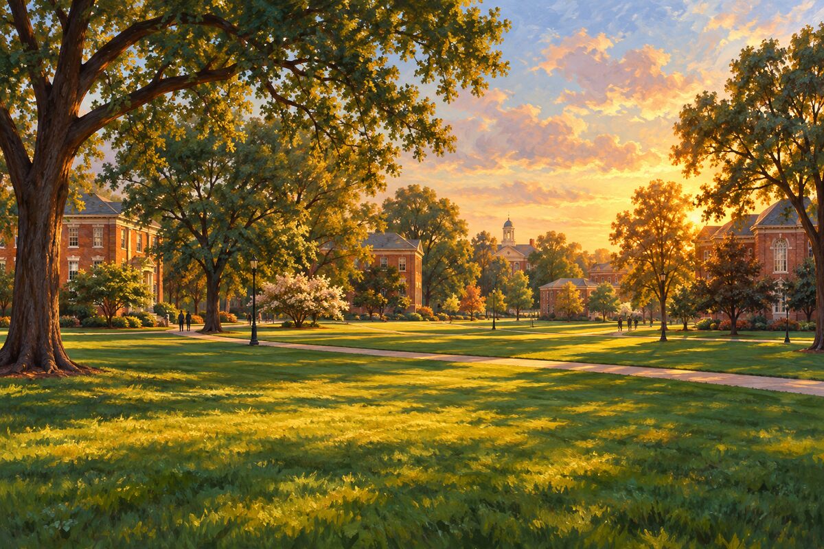
Fisk University
The 1866 university whose student singers toured the world to pay for its first permanent building
Areas
Lower Broadway and The District · SoBro and the Music Quarter · Historic Second Avenue and Printers Alley · Riverfront and the East Bank · Capitol Hill and the Mall · Germantown · Music Row · Midtown, Vanderbilt and Elliston Place · Centennial Park and West End · Hillsboro Village and Belmont · 12 South · Wedgewood-Houston and Fort Negley · East Nashville · Jefferson Street and North Nashville · Marathon Village and The Gulch · Opryland and Music Valley · Belle Meade and the Warner Parks · Green Hills and the Songwriter Rooms · The Hermitage and Donelson
Illustrations are drawn for the app. Place descriptions are written by hand and checked against a primary source; facts draw on Wikidata (CC0) and Wikipedia (CC BY-SA). Maps © OpenStreetMap contributors.