Guides · Napa and Sonoma
Napa and Sonoma
12 places · 3 areas · the first stage free, then $4.99 for the whole city · offline map 7.9 MB
Try it free
The first stage of Napa and Sonoma is free
The map and every stage title are open; the first stage opens with its full guide. Unlock the drive for the rest.
The free first stage
4 of the highlights, 3 days, about 0.4 mi (0.6 km), planned by the app's own engine and shown here with their guide. In the app you choose your own.
Day 1 · <0.1 mi (<0.1 km)

1
Yountville
small walkable town in the valley; public art walk, Napa Valley Museum and the Veterans Home
Follow the town's public art walk through Veterans Memorial Park and the main street, and add the Napa Valley Museum.
Day 2 · ~0.4 mi (0.6 km)

1
Oxbow Public Market
610 and 644 First Street, Napa; riverside food hall in the Oxbow District
Graze through the stalls of local food makers and eat by the river, then walk back toward downtown on the Vine Trail.

2
Napa Riverfront
downtown Napa; the Harry T. Price Riverwalk on the west bank of the Napa River
Walk the 16-foot-wide riverwalk on the west bank between Third Street and Riverside Drive, past the restored Napa Mill.
Day 3 · <0.1 mi (<0.1 km)
1
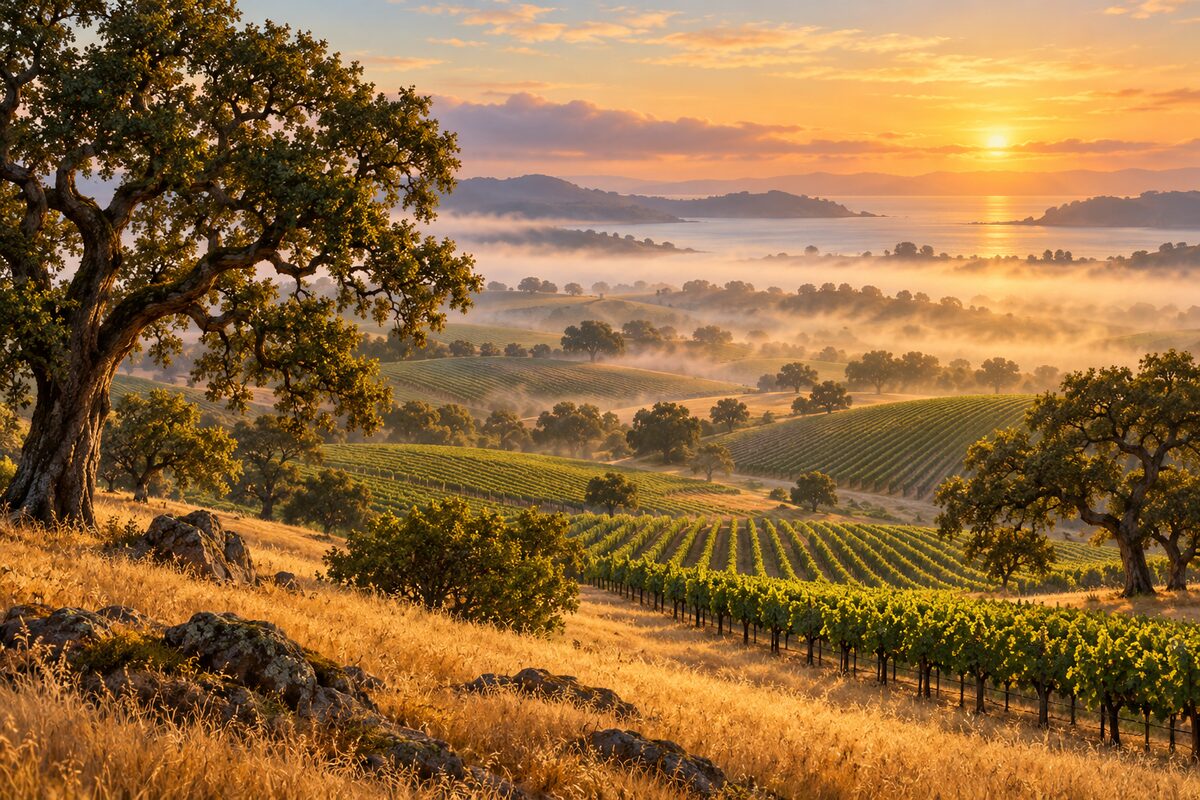
Los Carneros
southern Napa and Sonoma counties above San Pablo Bay; cool, windy vineyard hills between the two valleys
Drive the roads across the low vineyard hills between Napa and Sonoma and stop where it is safe to pull off for the view toward the bay.
More of the top sights
A few of the 12 places in the full guide. Each one has its own written guide in the app: what to do, what to notice, the history, and why it hits.

Jack London State Historic Park
Glen Ellen; Jack London's Beauty Ranch and the stone ruins of Wolf House
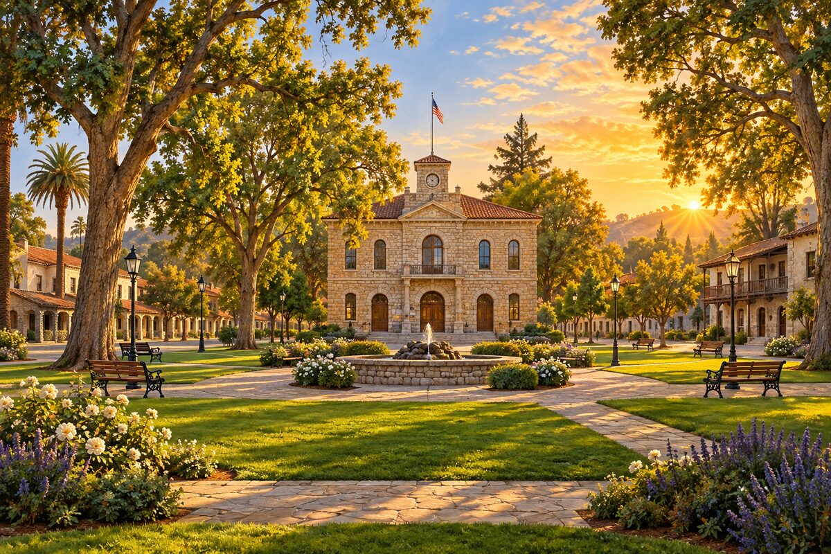
Sonoma Plaza
Sonoma; California's largest plaza, laid out in 1835, with City Hall at its center
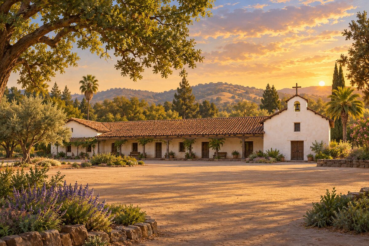
Mission San Francisco Solano
Sonoma Plaza; the 21st and last of the California missions, founded in 1823
Areas
Napa · Upper Napa Valley · Sonoma Valley
Illustrations are drawn for the app. Place descriptions are written by hand and checked against a primary source; facts draw on Wikidata (CC0) and Wikipedia (CC BY-SA). Maps © OpenStreetMap contributors.