Guides · Monument Valley - US 163
Monument Valley - US 163
12 places · 4 areas · the first stage free, then $4.99 for the whole city · offline map 1.5 MB
Try it free
The first stage of Monument Valley - US 163 is free
The map and every stage title are open; the first stage opens with its full guide. Unlock the drive for the rest.
The free first stage
3 of the highlights, 2 days, about 2.1 mi (3.4 km), planned by the app's own engine and shown here with their guide. In the app you choose your own.
Day 1 · <0.1 mi (<0.1 km)
1
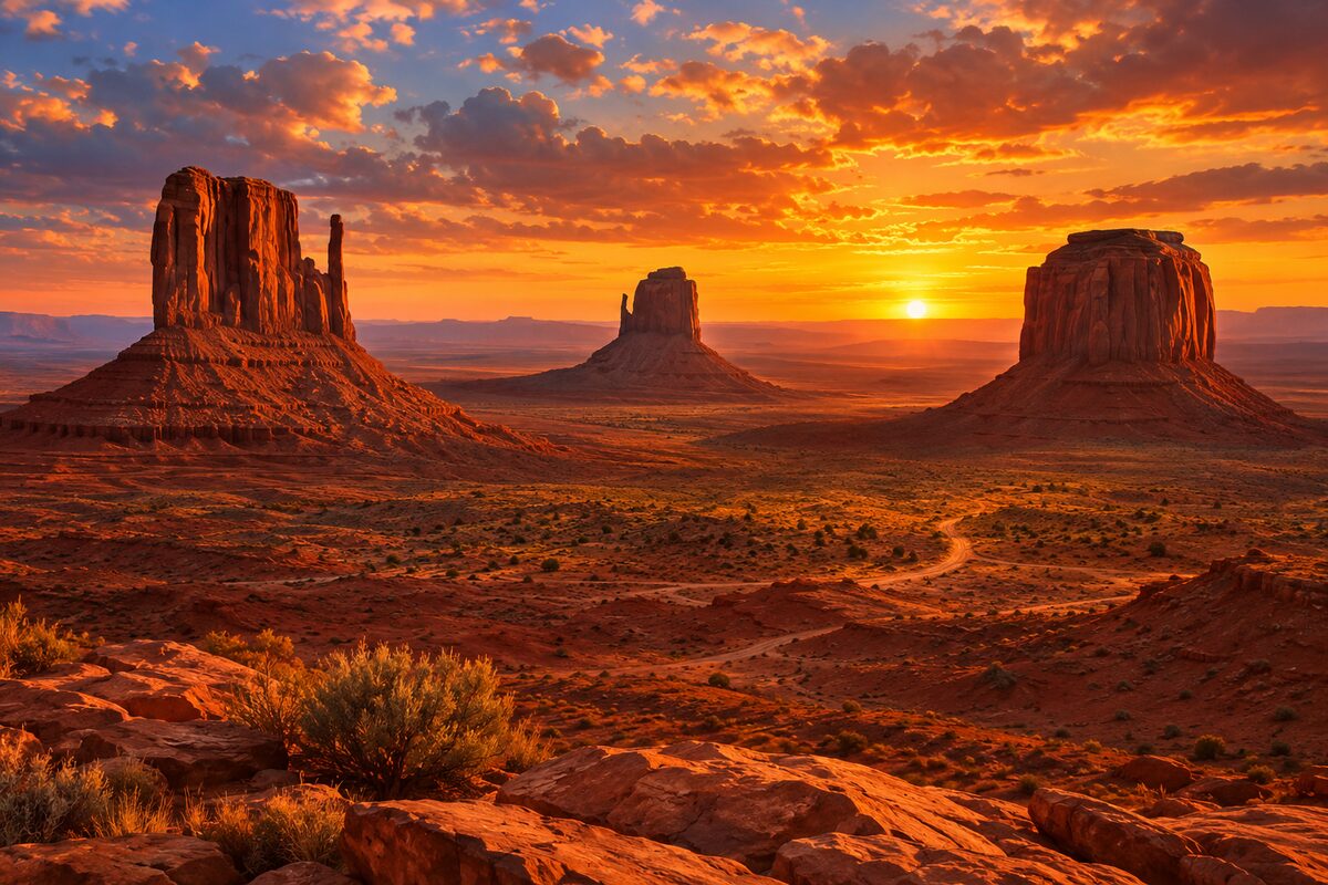
The Mittens
Monument Valley Navajo Tribal Park; West and East Mitten Buttes from the visitor center overlook
Stand on the overlook by the visitor center and watch the light move across West and East Mitten Buttes and Merrick Butte.
Day 2 · ~2.1 mi (3.4 km)
1
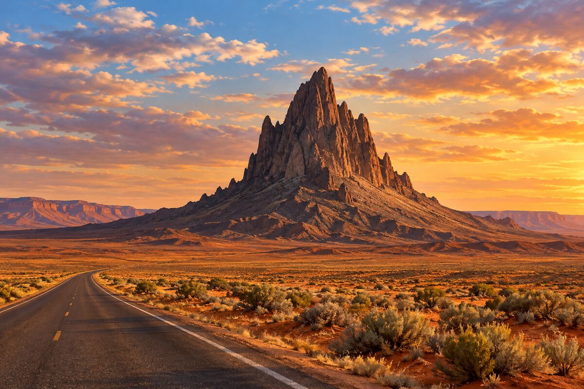
Agathla Peak
north of Kayenta; volcanic plug rising over 1,500 feet from the plain, seen from US 163
Pull off where it is safe and look at the dark volcanic tower standing alone above the plain, just east of the highway.
2
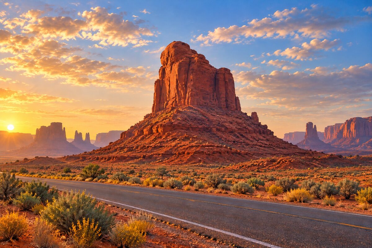
Owl Rock
US 163, about 7 miles north of Kayenta; sandstone spire on the edge of Tyende Mesa
Look west from the highway for the slim spire on the mesa rim; from the east it takes the shape of an owl.
More of the top sights
A few of the 12 places in the full guide. Each one has its own written guide in the app: what to do, what to notice, the history, and why it hits.
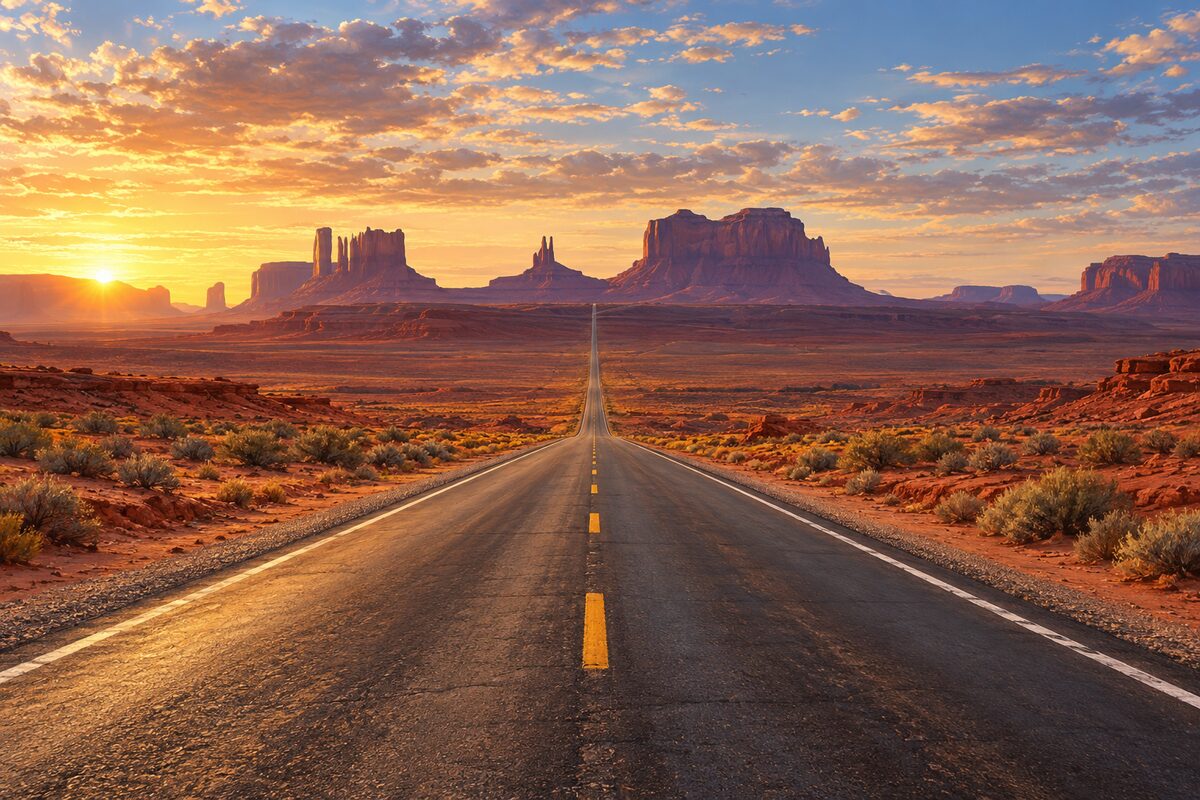
Forrest Gump Point
US 163 near milepost 13 in Utah; the long straight road running south toward the buttes
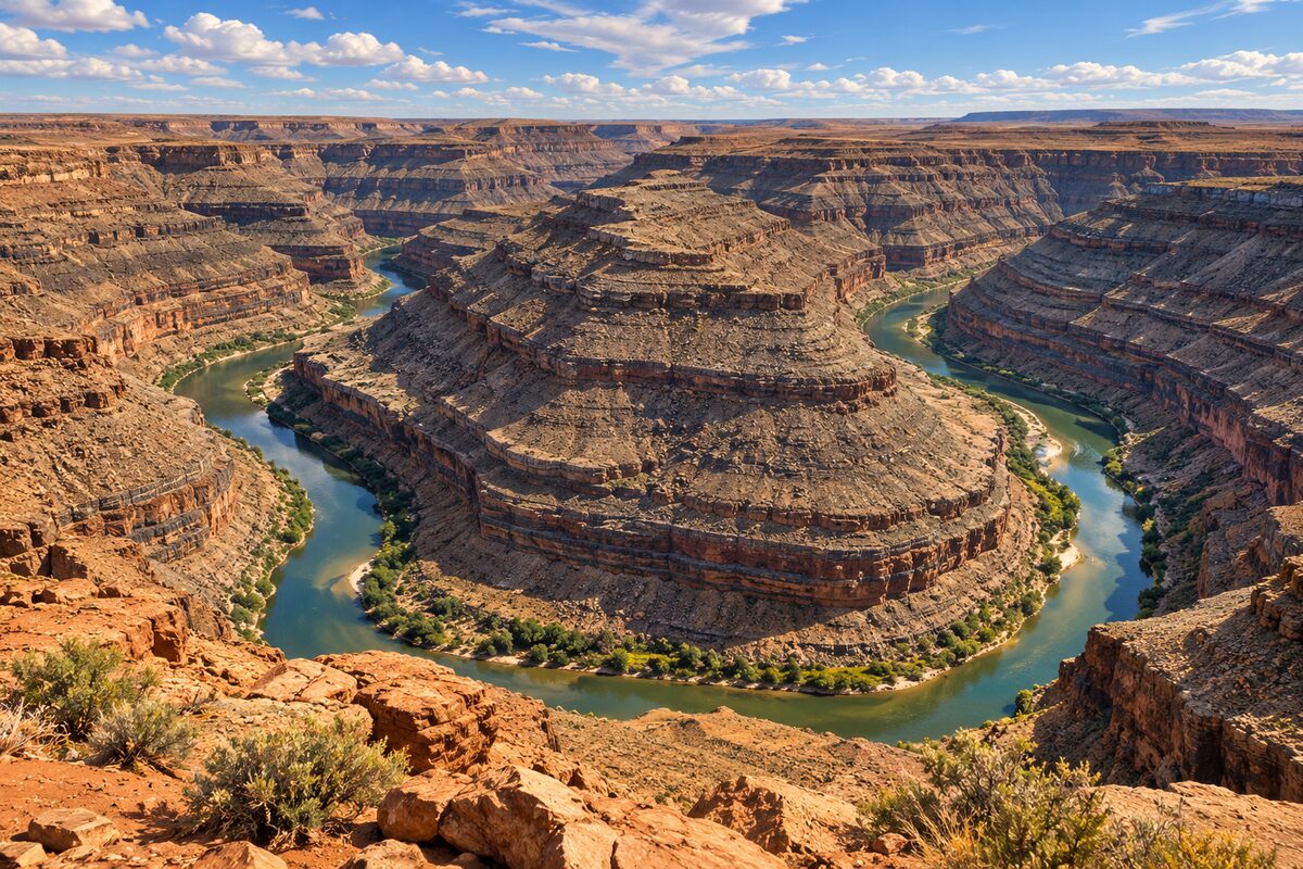
Goosenecks State Park
off SR-261 near Mexican Hat; overlook 1,000 feet above the San Juan River's tight meanders
Areas
Kayenta and the Approach · Monument Valley and Forrest Gump Point · Mexican Hat and the San Juan · Comb Ridge and Bluff
Illustrations are drawn for the app. Place descriptions are written by hand and checked against a primary source; facts draw on Wikidata (CC0) and Wikipedia (CC BY-SA). Maps © OpenStreetMap contributors.