Guides · Lowcountry Corridor
Lowcountry Corridor
15 places · 4 areas · the first stage free, then $4.99 for the whole city · offline map 16.7 MB
Try it free
The first stage of Lowcountry Corridor is free
The map and every stage title are open; the first stage opens with its full guide. Unlock the drive for the rest.
The free first stage
2 of the highlights, 1 day, about 0.6 mi (1.0 km), planned by the app's own engine and shown here with their guide. In the app you choose your own.
Day 1 · ~0.6 mi (1.0 km)
1
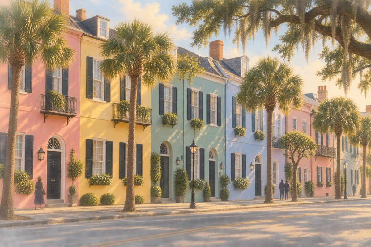
Rainbow Row
79-107 East Bay Street, Charleston; thirteen pastel row houses, most from the 1770s-1790s
Walk the length of the row on the opposite side of East Bay Street to fit all thirteen colored facades into one frame.
2
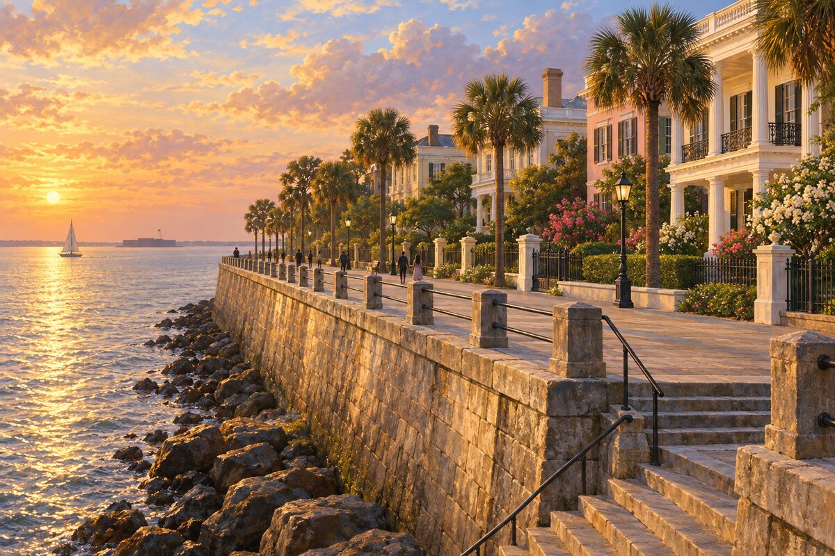
The High Battery
East Battery, tip of the Charleston peninsula; raised seawall promenade above the harbor, beside White Point Garden
Walk the raised promenade along East Battery for views across the harbor toward Fort Sumter and Sullivan's Island, then wander under the oaks of White Point Garden.
More of the top sights
A few of the 15 places in the full guide. Each one has its own written guide in the app: what to do, what to notice, the history, and why it hits.

Wormsloe Historic Site
Isle of Hope, Savannah; 1.5-mile oak avenue to the tabby ruins of Noble Jones's colonial house
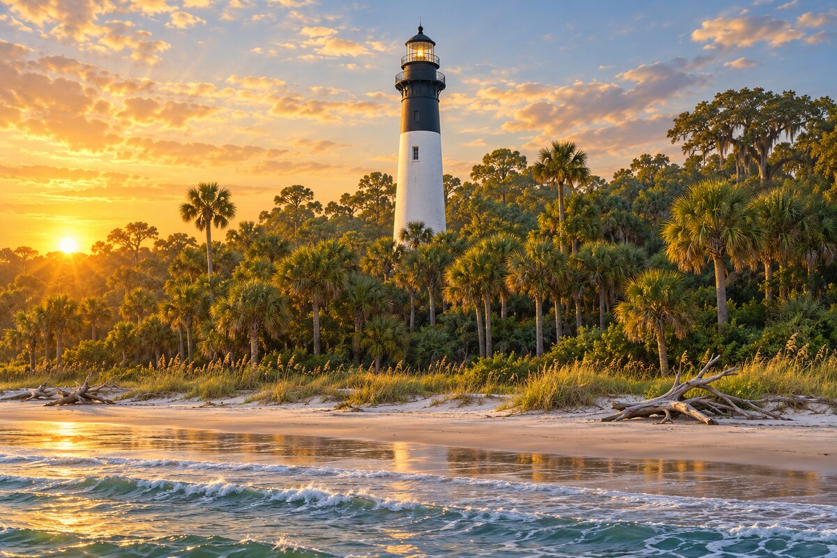
Hunting Island Lighthouse
Hunting Island State Park; 1875 cast-iron lighthouse in a palm and maritime forest, open to climb again since May 2026
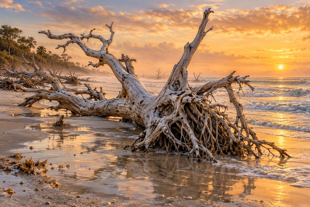
Botany Bay
Edisto Island; state heritage preserve with a boneyard beach of sun-bleached dead trees
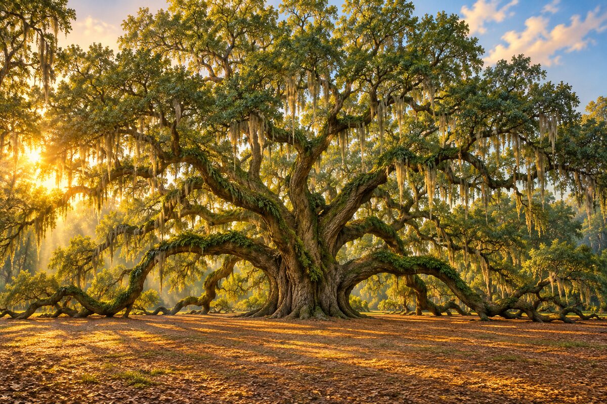
Angel Oak Tree
Angel Oak Park, Johns Island; a southern live oak of 400-500 years with a 187-foot limb
Areas
Charleston · Sea Islands South of Charleston · Beaufort and the Islands · Savannah
Illustrations are drawn for the app. Place descriptions are written by hand and checked against a primary source; facts draw on Wikidata (CC0) and Wikipedia (CC BY-SA). Maps © OpenStreetMap contributors.