Guides · Lake Tahoe Loop
Lake Tahoe Loop
11 places · 3 areas · the first stage free, then $4.99 for the whole city · offline map 4.1 MB
Try it free
The first stage of Lake Tahoe Loop is free
The map and every stage title are open; the first stage opens with its full guide. Unlock the drive for the rest.
The free first stage
4 of the highlights, 2 days, about 1.2 mi (2.0 km), planned by the app's own engine and shown here with their guide. In the app you choose your own.
Day 1 · ~1.2 mi (2.0 km)
1
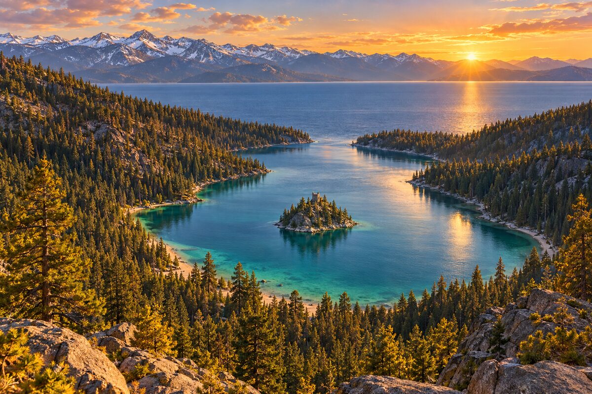
Emerald Bay State Park
Highway 89 above Emerald Bay; glacier-carved bay around Fannette Island, the only island in Lake Tahoe
Stop above the bay and find Fannette Island and the small tea house on it.
2
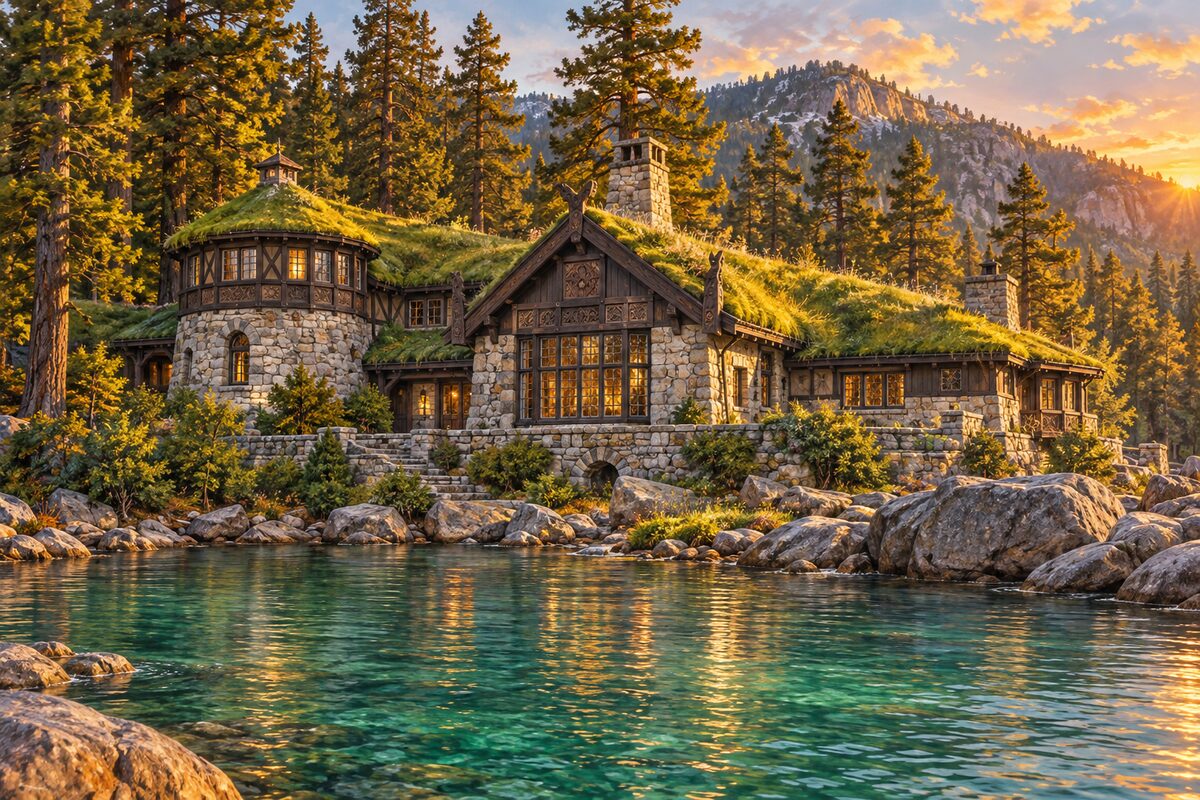
Vikingsholm
head of Emerald Bay; 1929 Scandinavian-style summer house at the foot of a steep trail
Walk the steep path down to the shore and look at the carved timber and the sod roofs on the north and south wings.
3
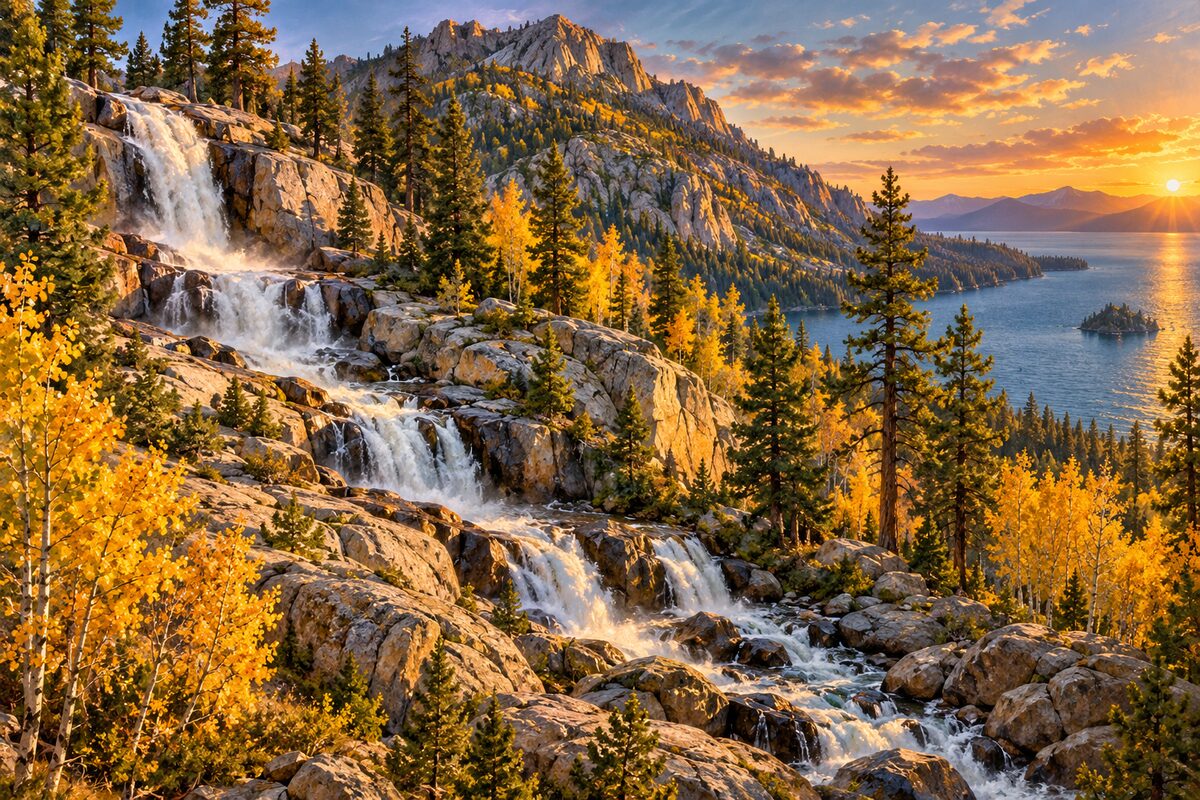
Eagle Falls
Highway 89 across from Emerald Bay; Lower Eagle Falls and the trailhead into Desolation Wilderness
Walk a quarter mile to Lower Eagle Falls behind the Emerald Bay visitor center, or climb the steep trail from the Eagle Falls trailhead toward Eagle Lake, about 20 minutes on foot.
Day 2 · <0.1 mi (<0.1 km)
1
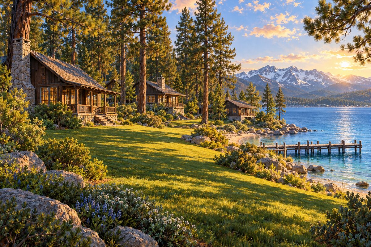
Tallac Historic Site
about 3 miles northwest of South Lake Tahoe; shoreline summer estates of three San Francisco families
Walk the lakeside grounds between the Pope House, the Baldwin Museum and Valhalla, three old estates under the pines.
More of the top sights
A few of the 11 places in the full guide. Each one has its own written guide in the app: what to do, what to notice, the history, and why it hits.
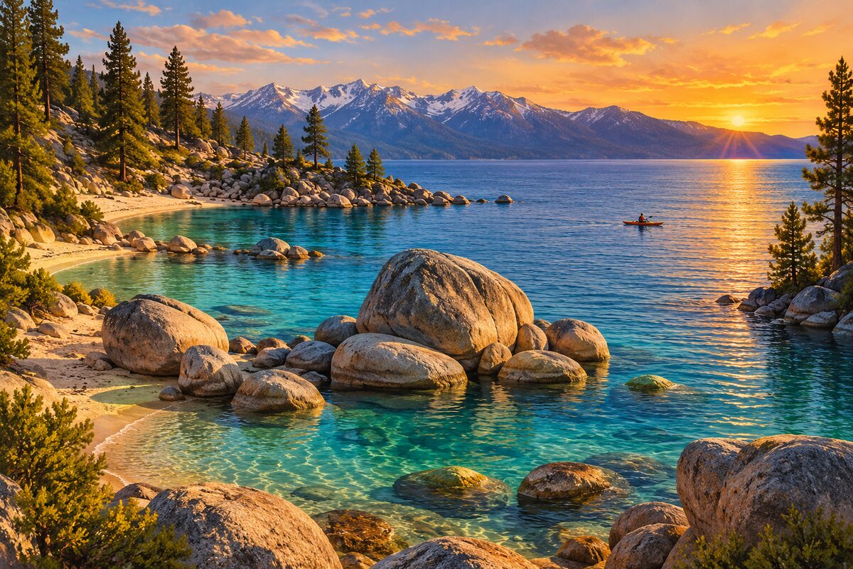
Sand Harbor
Nevada shore, Lake Tahoe Nevada State Park; clear coves among rounded granite boulders
Areas
Southwest Shore and Emerald Bay · West Shore · North and Nevada Shore
Illustrations are drawn for the app. Place descriptions are written by hand and checked against a primary source; facts draw on Wikidata (CC0) and Wikipedia (CC BY-SA). Maps © OpenStreetMap contributors.