Guides · Kancamagus Highway
Kancamagus Highway
11 places · 3 areas · the first stage free, then $4.99 for the whole city · offline map 1.3 MB
Try it free
The first stage of Kancamagus Highway is free
The map and every stage title are open; the first stage opens with its full guide. Unlock the drive for the rest.
The free first stage
3 of the highlights, 2 days, about 5.3 mi (8.5 km), planned by the app's own engine and shown here with their guide. In the app you choose your own.
Day 1 · ~5.3 mi (8.5 km)

1
Lincoln Woods
5 miles east of I-93 on the Kancamagus; 160-foot suspension bridge over the East Branch of the Pemigewasset
Walk from the parking lot onto the 160-foot suspension bridge and look up and down the wide, rocky East Branch of the Pemigewasset.
2
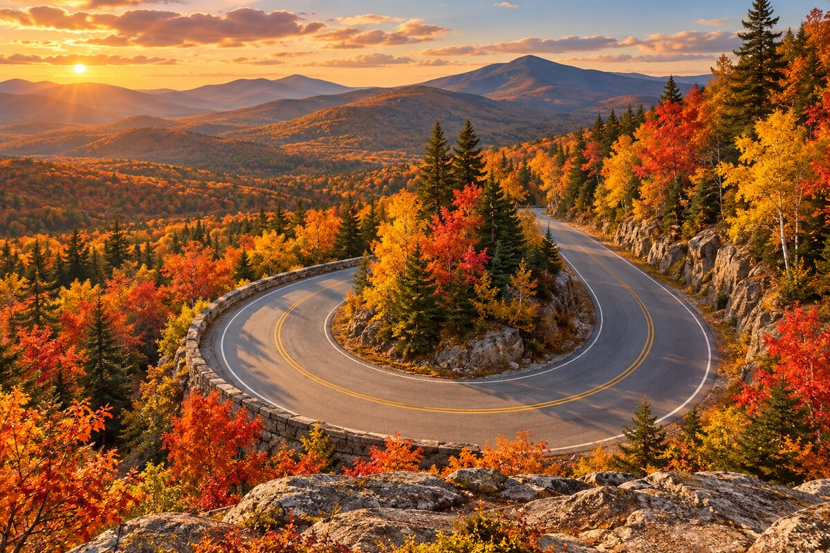
Hancock Overlook
on the highway's hairpin turn; west-facing pull-off toward Mt. Osceola
Stop at the pull-off on the hairpin and look west toward Mt. Osceola; there is a gazebo beside the parking area.
Day 2 · <0.1 mi (<0.1 km)

1
Pemigewasset Overlook
roadside pull-off on the climb from Lincoln; view west over the Pemigewasset River valley
Pull off for the long view west over the Pemigewasset River valley toward the Osceolas.
More of the top sights
A few of the 11 places in the full guide. Each one has its own written guide in the app: what to do, what to notice, the history, and why it hits.

Albany Covered Bridge
about 6 miles west of Conway; 1858 Paddleford-truss covered bridge over the Swift River
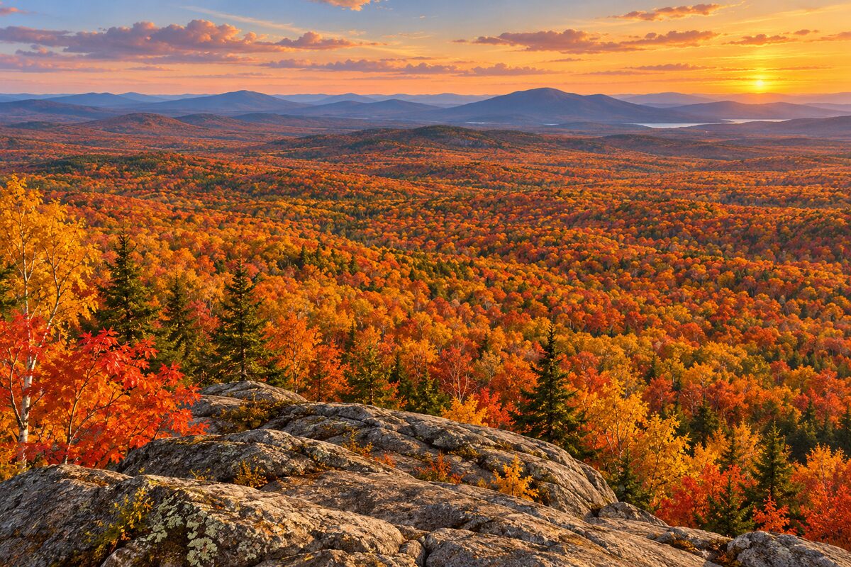
C.L. Graham Wangan Overlook
just past Kancamagus Pass (2,855 ft); the highest pull-off, looking east over the Swift River valley

Sabbaday Falls
about 16 miles west of Conway; short walk from the picnic ground to cascades in a narrow granite flume
Areas
Lincoln and the Climb · The Pass and East Slope · Swift River to Conway
Illustrations are drawn for the app. Place descriptions are written by hand and checked against a primary source; facts draw on Wikidata (CC0) and Wikipedia (CC BY-SA). Maps © OpenStreetMap contributors.