Guides · Hana Highway
Hana Highway
14 places · 4 areas · the first stage free, then $4.99 for the whole city · offline map 1.1 MB
Try it free
The first stage of Hana Highway is free
The map and every stage title are open; the first stage opens with its full guide. Unlock the drive for the rest.
The free first stage
2 of the highlights, 1 day, about 3.1 mi (5.0 km), planned by the app's own engine and shown here with their guide. In the app you choose your own.
Day 1 · ~3.1 mi (5.0 km)
1
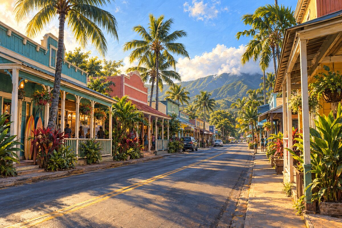
Paia
first town on the Hana Highway; old sugar town turned surf town
Walk the main street of surf shops, galleries and cafes, and fill the tank and the cooler before the road starts.
2
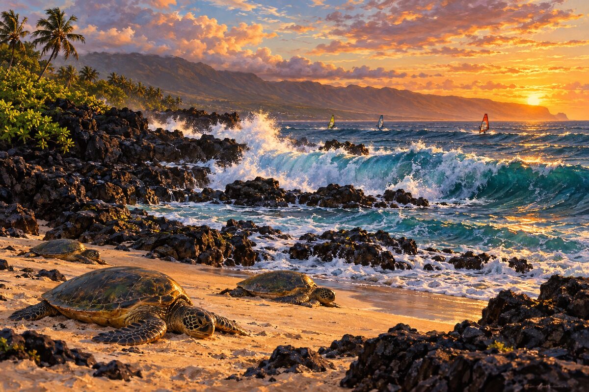
Hookipa Beach Park
just east of Paia; expert surfers and windsurfers, sea turtles resting on the sand
Watch the surfers and windsurfers from the shore, then look for sea turtles hauled out on the protected stretch of sand.
More of the top sights
A few of the 14 places in the full guide. Each one has its own written guide in the app: what to do, what to notice, the history, and why it hits.
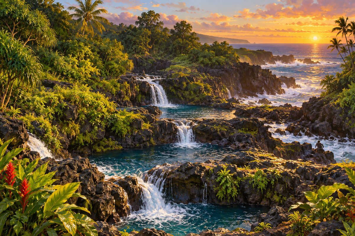
Oheo Gulch
Kipahulu, Haleakala National Park; stepped pools running to the sea, viewed from the trail
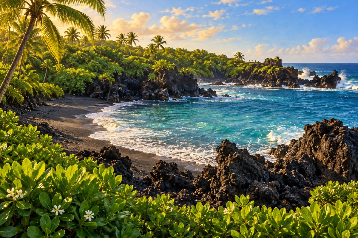
Waianapanapa State Park
near Hana; black sand beach, lava tubes and an old coastal trail, by reservation only
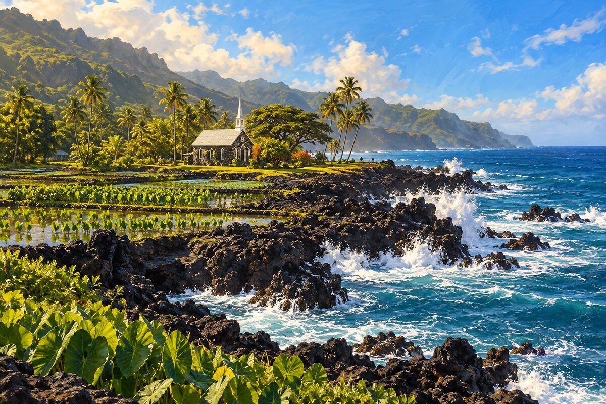
Keanae Peninsula
Keanae; taro fields on a lava point, a stone church and black lava shore
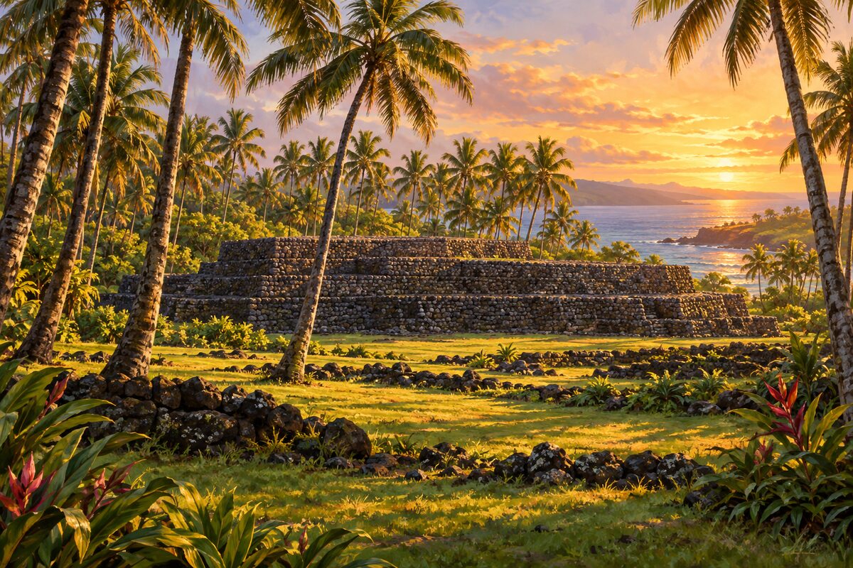
Kahanu Garden
near Hana; garden around Piilanihale, believed the largest heiau in Hawaii
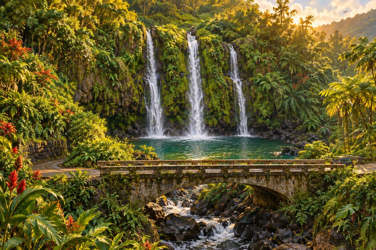
Upper Waikani Falls
Hana Highway past mile marker 19; three falls side by side, called Three Bears
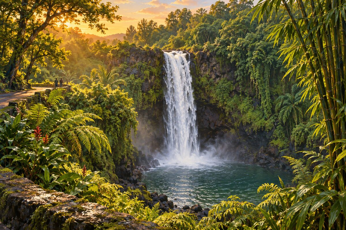
Wailua Falls
past Hana near mile marker 45; 80-foot falls right beside the road
Areas
North Shore · Rainforest and Keanae · Hana · Kipahulu
Illustrations are drawn for the app. Place descriptions are written by hand and checked against a primary source; facts draw on Wikidata (CC0) and Wikipedia (CC BY-SA). Maps © OpenStreetMap contributors.