Guides · Great River Road
Great River Road
36 places · 7 areas · the first stage free, then $4.99 for the whole city · offline map 58.8 MB
Try it free
The first stage of Great River Road is free
The map and every stage title are open; the first stage opens with its full guide. Unlock the drive for the rest.
The free first stage
5 of the highlights, 4 days, about 3.0 mi (4.8 km), planned by the app's own engine and shown here with their guide. In the app you choose your own.
Day 1 · <0.1 mi (<0.1 km)

1
Lake Winnibigoshish
Chippewa National Forest; big northern lake the young Mississippi flows through
Stop at a public landing and look across the open water the river has to cross on its way south.
Day 2 · <0.1 mi (<0.1 km)

1
Mississippi Headwaters
Itasca State Park, Minnesota; the river leaves Lake Itasca as a shallow creek
Wade across the shallow outlet or walk the log bridge where the Mississippi slips out of Lake Itasca.
Day 3 · <0.1 mi (<0.1 km)

1
Stone Arch Bridge
Minneapolis; curving 1883 stone railroad bridge across St. Anthony Falls, now for walkers and bikes
Walk out to mid-river for the view of St. Anthony Falls and the downtown skyline, then look back at the curve of the arches.
Day 4 · ~3.0 mi (4.8 km)
1
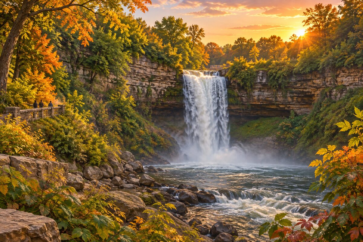
Minnehaha Falls
Minneapolis; 53-foot waterfall in a city park near the Mississippi
Watch the creek pour over the lip from the overlook, then follow the glen toward the Mississippi.
2
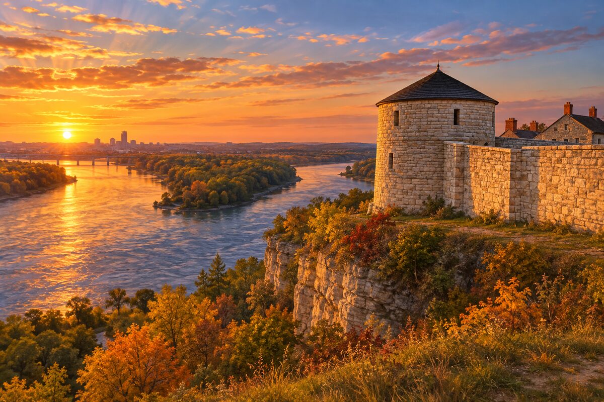
Historic Fort Snelling
St. Paul; 1820s stone fort above Bdote, where the Minnesota River meets the Mississippi
Start in the Plank Museum and Visitor Center, in a 1904 cavalry barracks, then walk the fort walls to the river overlooks.
More of the top sights
A few of the 36 places in the full guide. Each one has its own written guide in the app: what to do, what to notice, the history, and why it hits.

Beale Street
Memphis; Congress's Home of the Blues, a neon street of clubs and live music

Gateway Arch
St. Louis riverfront; 630-foot stainless steel arch with a tram to the top

Jackson Square
New Orleans; old parade ground before St. Louis Cathedral, the Cabildo and the Presbytère

Oak Alley Plantation
Vacherie, Louisiana; 800-foot alley of live oaks and the history of the people enslaved here

Vicksburg National Military Park
Vicksburg, Mississippi; 16-mile tour road through the 1863 siege lines and the gunboat USS Cairo
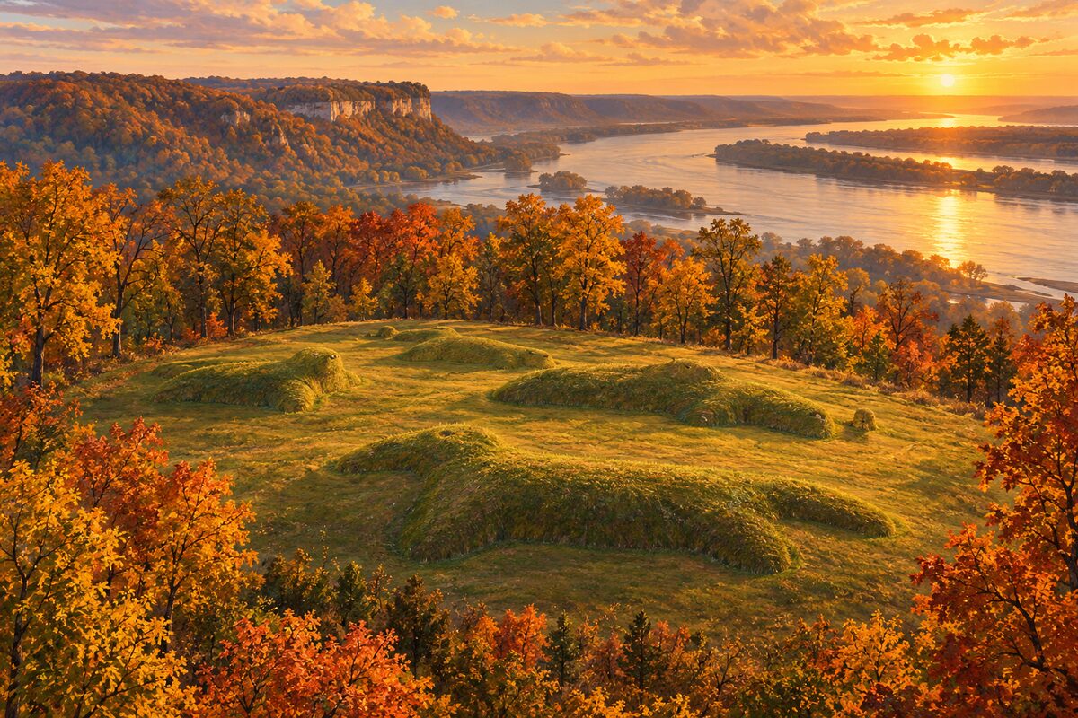
Effigy Mounds National Monument
Harpers Ferry, Iowa; animal-shaped burial mounds on the bluffs, sacred to 20 tribal nations
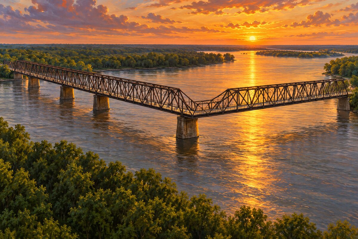
Chain of Rocks Bridge
north of St. Louis; mile-long 1929 bridge with a bend at mid-river, walkers and bikes only
Areas
Headwaters and Twin Cities · Upper Mississippi Bluffs · Dubuque to Hannibal · St. Louis Confluence · Cairo to Memphis · The Delta · Louisiana
Illustrations are drawn for the app. Place descriptions are written by hand and checked against a primary source; facts draw on Wikidata (CC0) and Wikipedia (CC BY-SA). Maps © OpenStreetMap contributors.