Guides · Grand Circle
Grand Circle
18 places · 4 areas · the first stage free, then $4.99 for the whole city · offline map 6.2 MB
Try it free
The first stage of Grand Circle is free
The map and every stage title are open; the first stage opens with its full guide. Unlock the drive for the rest.
The free first stage
6 of the highlights, 3 days, about 10.6 mi (17 km), planned by the app's own engine and shown here with their guide. In the app you choose your own.
Day 1 · ~5.5 mi (8.8 km)
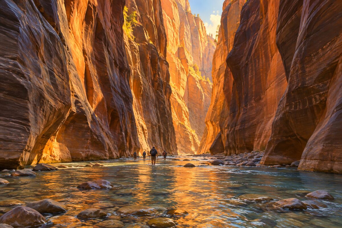
1
The Narrows
beyond the Riverside Walk; hiking up the Virgin River between canyon walls
Walk the one-mile Riverside Walk, then wade up the Virgin River between the walls for as far as you like; Big Spring is a 10-mile round trip.
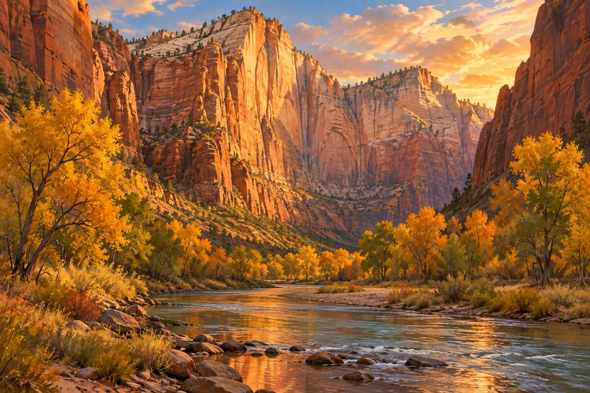
2
Temple of Sinawava
end of the Scenic Drive; sheer-walled amphitheater nearly 3,000 feet deep
Stand in the amphitheater at the end of the road, then walk the paved Riverside Walk upstream along the Virgin River.
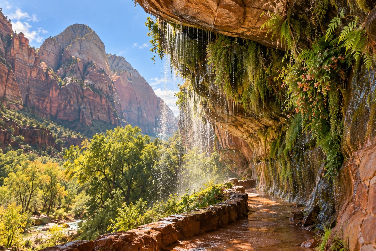
3
Weeping Rock
Zion Canyon Scenic Drive; short climb to a dripping alcove of hanging gardens
Climb the short, steep path to the alcove and stand behind the curtain of water seeping out of the rock.
Day 2 · ~5.1 mi (8.2 km)
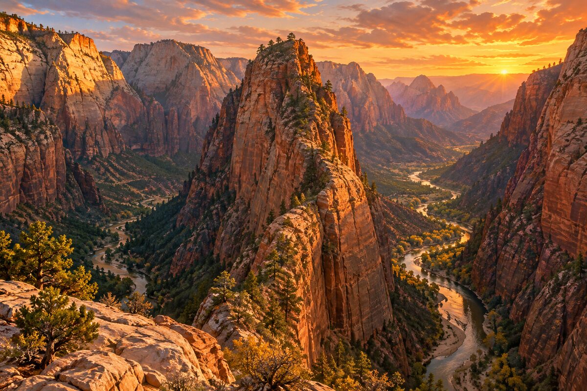
1
Angels Landing
The Grotto; narrow fin summit reached by chains, permit required past Scout Lookout
Hike from the Grotto up Walter's Wiggles to Scout Lookout; with a permit, follow the chains along the fin to the summit.
2
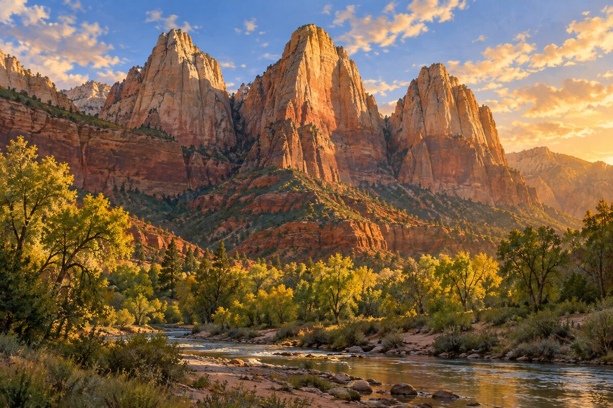
Court of the Patriarchs
Zion Canyon Scenic Drive; three sandstone peaks named Abraham, Isaac and Jacob
Get off at the Court of the Patriarchs shuttle stop and take the short trail up to the viewpoint over the three peaks.
Day 3 · <0.1 mi (<0.1 km)
1
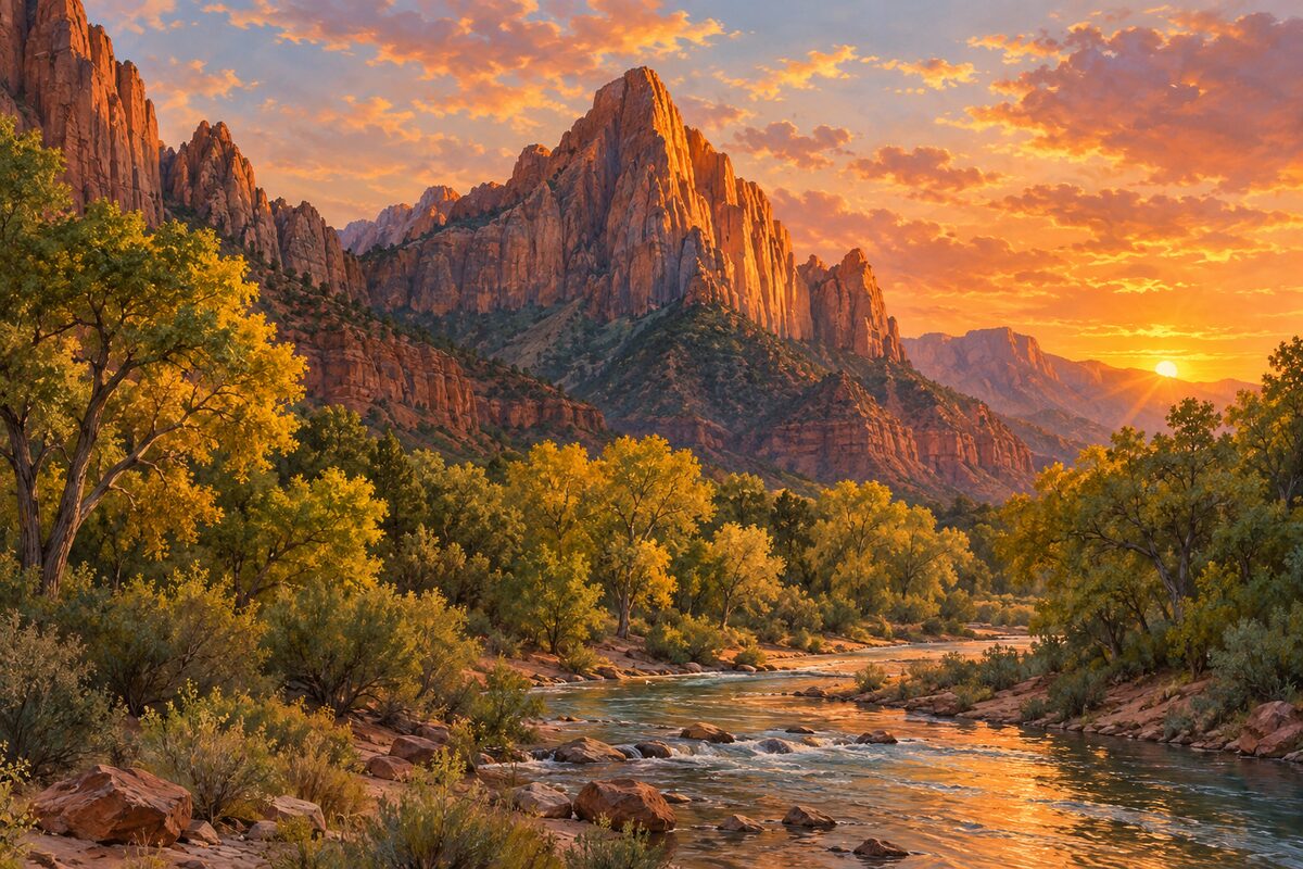
The Watchman
Springdale entrance; Navajo Sandstone peak 2,600 feet above the canyon floor
Look up at the peak from the south entrance and visitor center area, and come back at sunset when the sandstone lights up.
More of the top sights
A few of the 18 places in the full guide. Each one has its own written guide in the app: what to do, what to notice, the history, and why it hits.
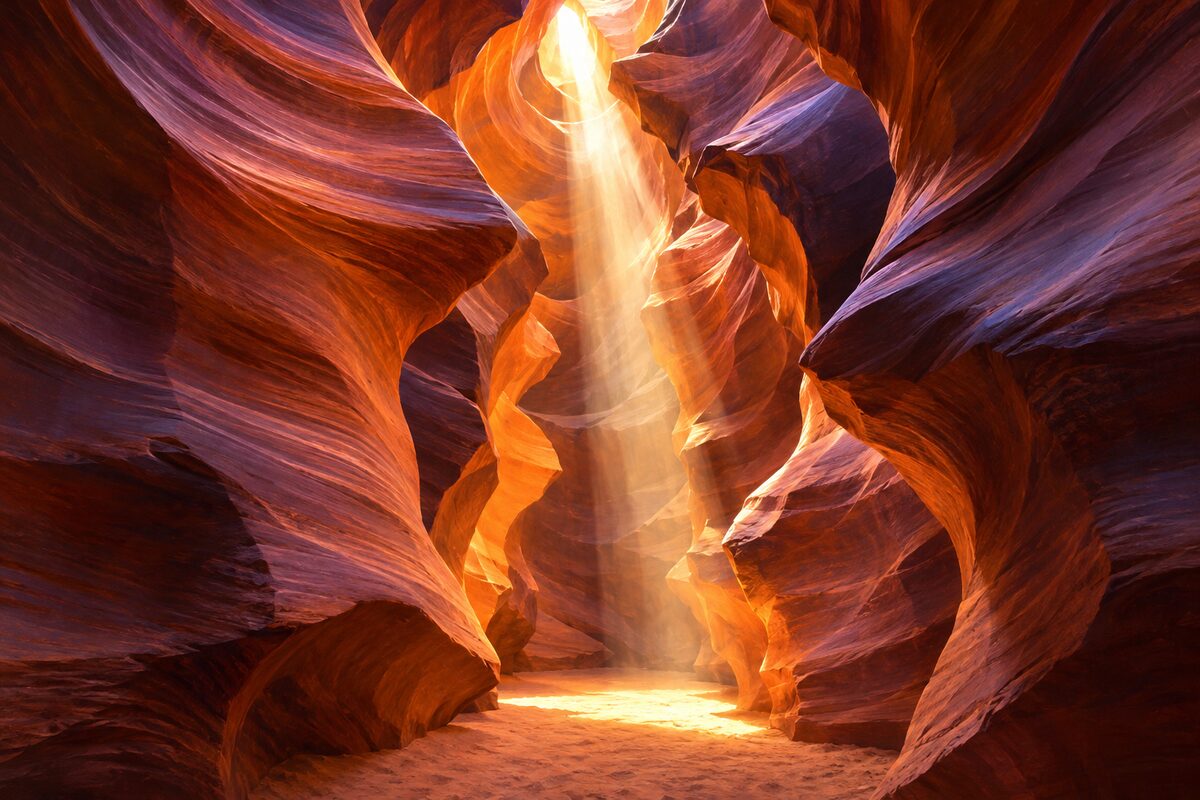
Antelope Canyon
Navajo Nation near Page; slot canyon of light beams, by guided tour only
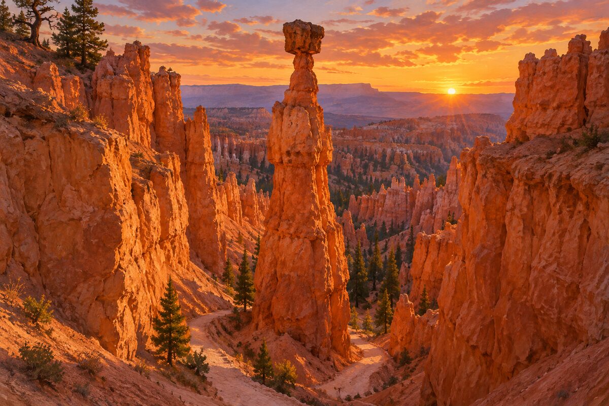
Sunset Point
center of Bryce Amphitheater; top of the Navajo Loop past Thor's Hammer
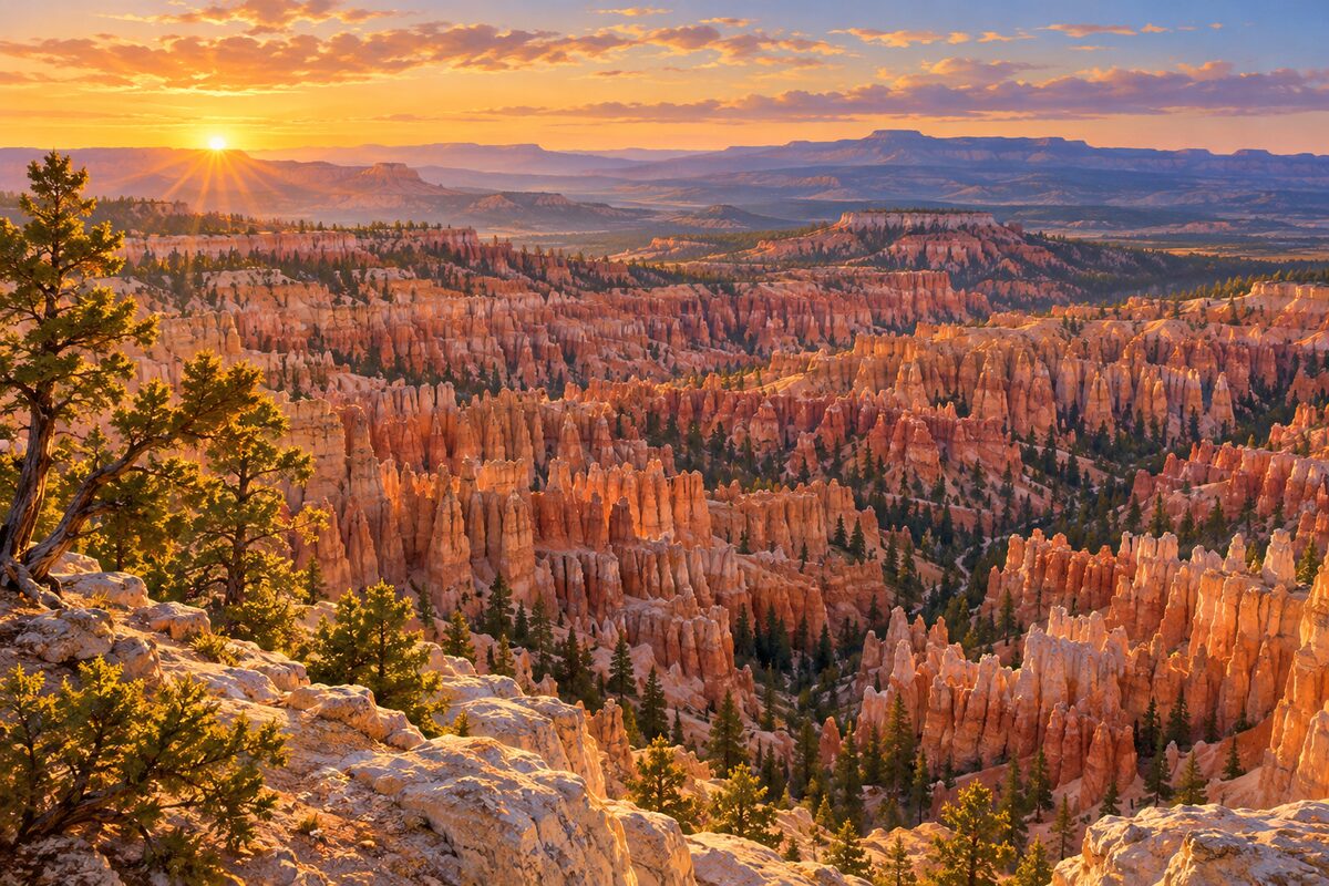
Bryce Point
south end of the amphitheater; widest view over the hoodoos
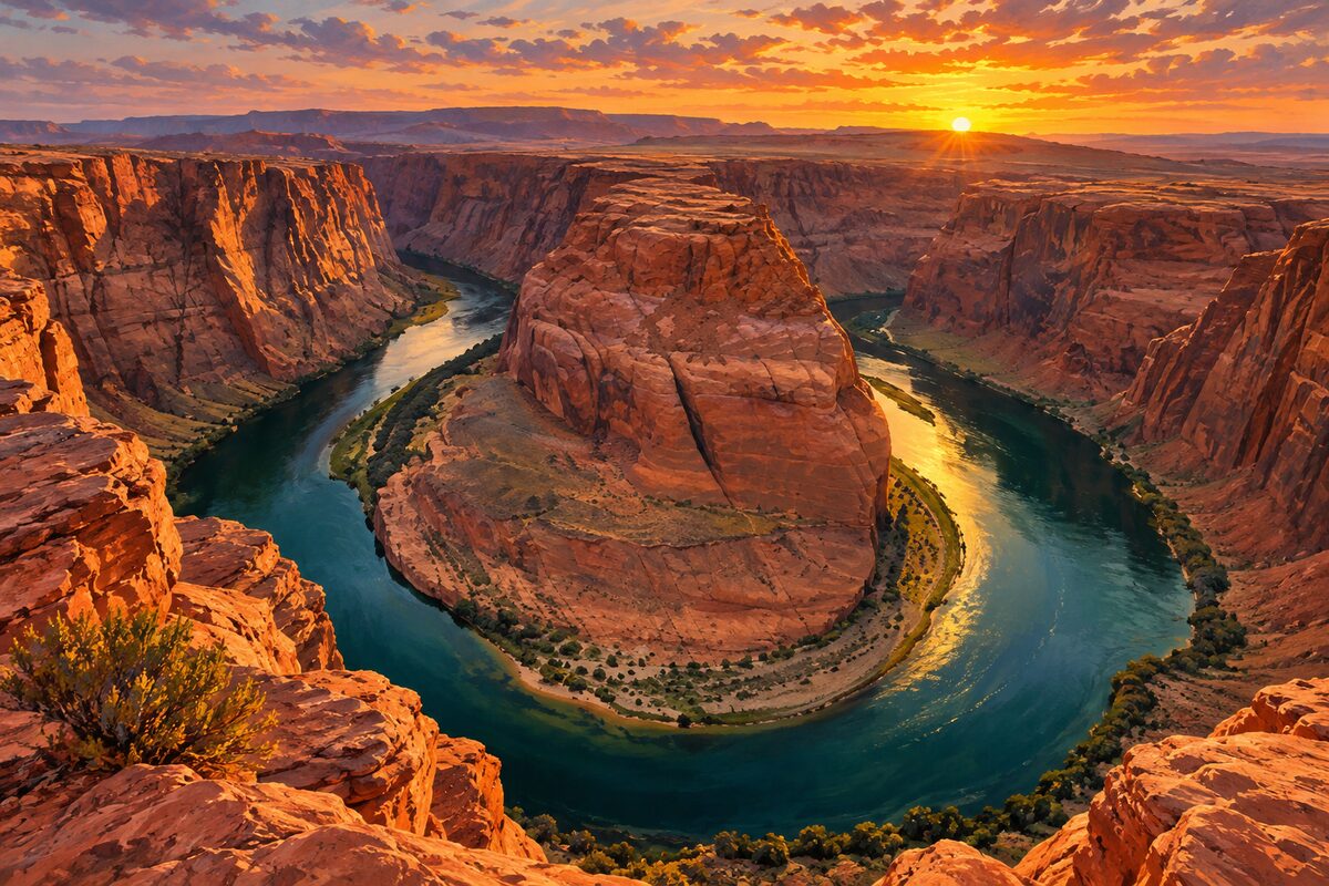
Horseshoe Bend
south of Page; Colorado River looping 1,000 feet below the rim
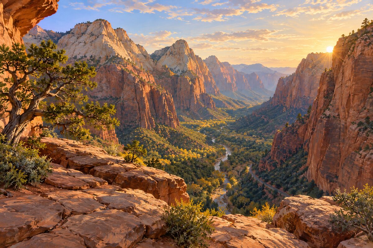
Canyon Overlook
east of the tunnel; short rim trail to a view over Pine Creek and lower Zion Canyon
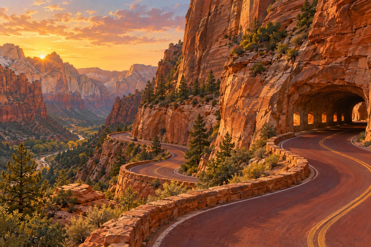
Zion-Mount Carmel Tunnel
Zion-Mount Carmel Highway; 1930 rock tunnel lit by galleries cut through the cliff
Areas
Zion Canyon · Zion-Mount Carmel Highway · Bryce Canyon · Page and Lake Powell
Illustrations are drawn for the app. Place descriptions are written by hand and checked against a primary source; facts draw on Wikidata (CC0) and Wikipedia (CC BY-SA). Maps © OpenStreetMap contributors.