Guides · Grand Canyon South Rim
Grand Canyon South Rim
12 places · 3 areas · the first stage free, then $4.99 for the whole city · offline map 2.1 MB
Try it free
The first stage of Grand Canyon South Rim is free
The map and every stage title are open; the first stage opens with its full guide. Unlock the drive for the rest.
The free first stage
5 of the highlights, 1 day, about 4.2 mi (6.7 km), planned by the app's own engine and shown here with their guide. In the app you choose your own.
Day 1 · ~4.2 mi (6.7 km)
1
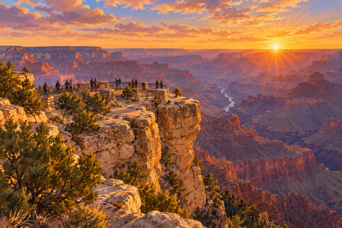
Mather Point
a 5-minute walk from the Grand Canyon Visitor Center; the main first-look viewpoint
Walk out from the visitor center plaza to the rim and look across Granite Gorge toward Bright Angel Canyon; on a clear day you can see more than 60 miles to the west.
2
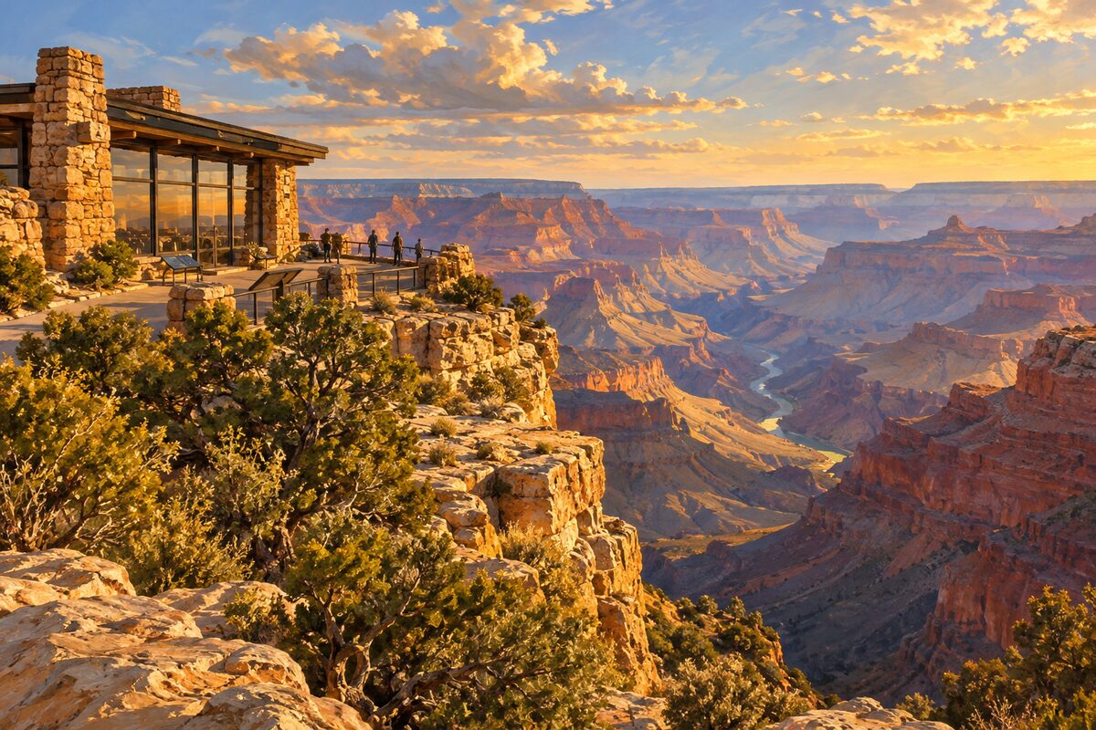
Yavapai Point
east of the Village; stone geology museum with a picture window on the rim
Step inside the Yavapai Museum of Geology to study the big relief map and the rock layers, then stand at the window or the rim outside to match them to the real thing.
3
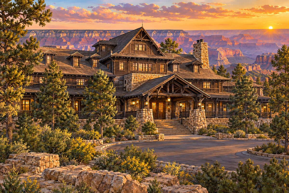
El Tovar Hotel
Grand Canyon Village; 1905 log and limestone hotel on the rim
Take in the building from outside: built of local limestone and Oregon pine, logs below and framed timber above.
4
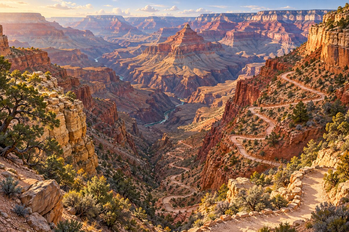
Bright Angel Trail
Grand Canyon Village; trailhead of the switchback trail into the canyon
Look down the switchbacks from the trailhead, or walk a short way below the rim and turn back well before you tire, since the way out is all uphill.
5
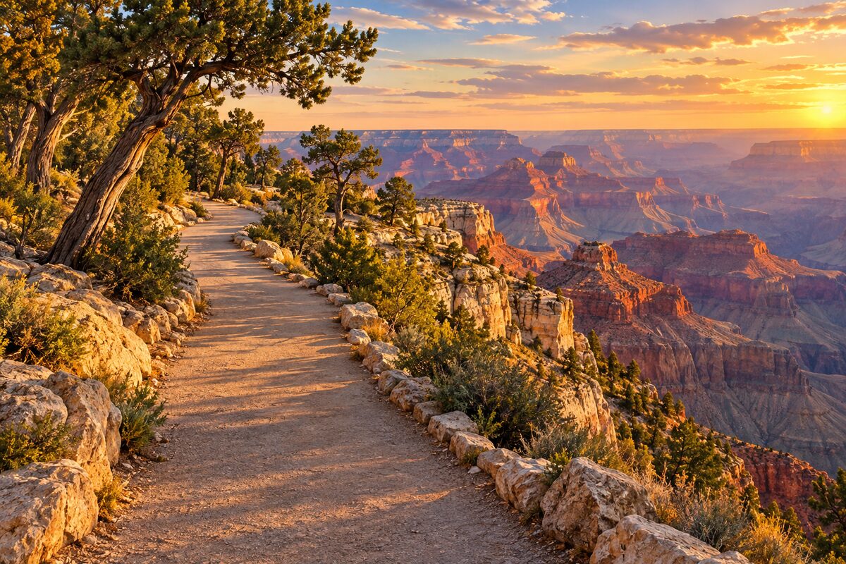
Rim Trail
South Rim; mostly paved path along the edge, about 13 miles from South Kaibab to Hermits Rest
Walk the stretch between Mather Point and the Village, which overlaps the Trail of Time exhibit.
More of the top sights
A few of the 12 places in the full guide. Each one has its own written guide in the app: what to do, what to notice, the history, and why it hits.
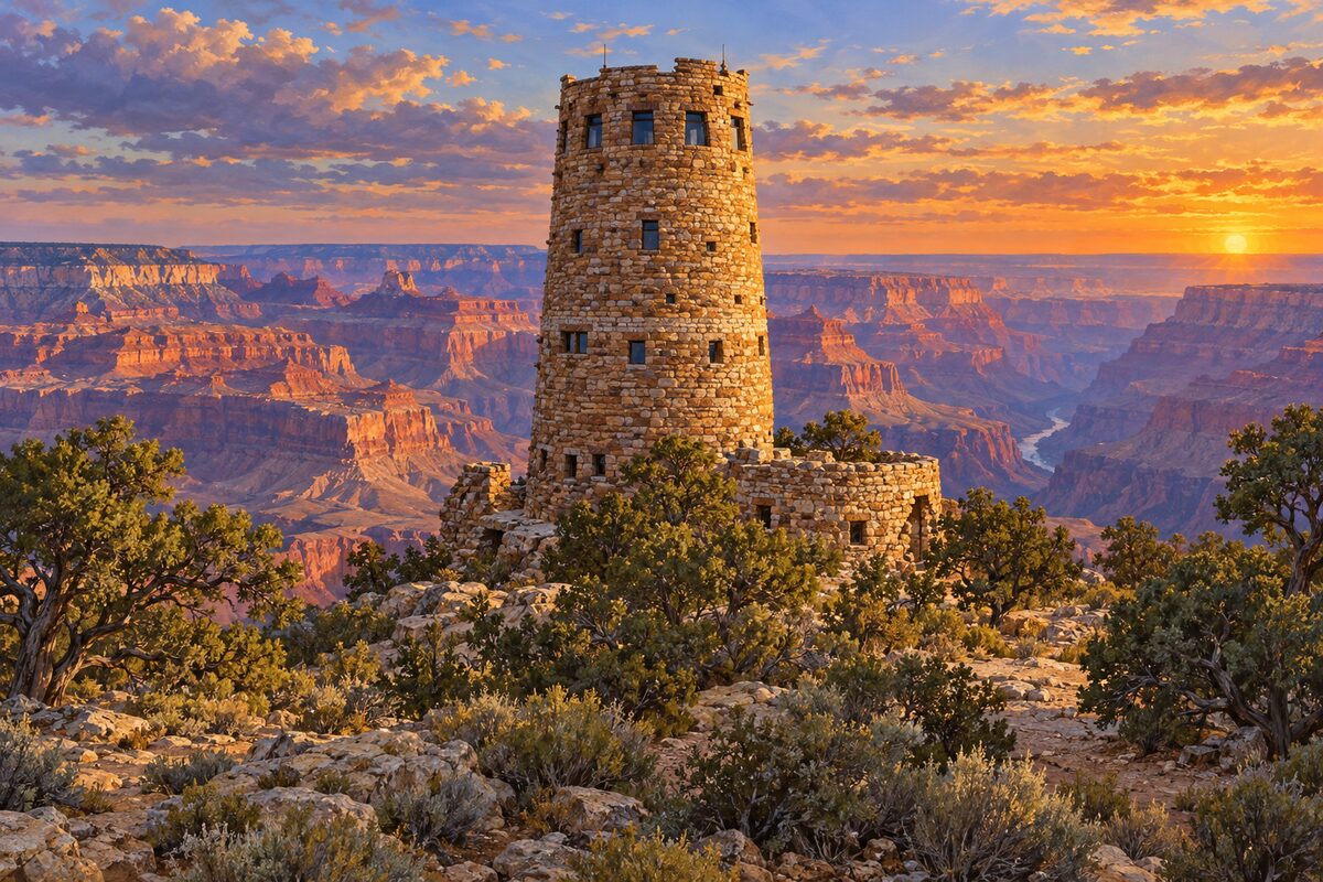
Desert View Watchtower
east end of Desert View Drive; Mary Colter's 1932 stone tower, 70 feet tall
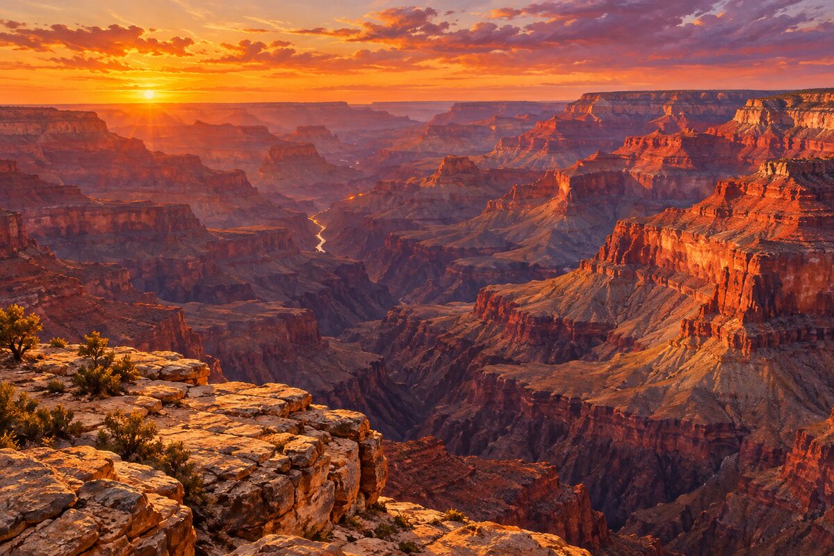
Hopi Point
Hermit Road; wide view with the Colorado River to the west, a top sunset viewpoint
Areas
Village and Rim Trail · Hermit Road · Desert View Drive
Illustrations are drawn for the app. Place descriptions are written by hand and checked against a primary source; facts draw on Wikidata (CC0) and Wikipedia (CC BY-SA). Maps © OpenStreetMap contributors.