Guides · Going-to-the-Sun Road
Going-to-the-Sun Road
14 places · 3 areas · the first stage free, then $4.99 for the whole city · offline map 1.4 MB
Try it free
The first stage of Going-to-the-Sun Road is free
The map and every stage title are open; the first stage opens with its full guide. Unlock the drive for the rest.
The free first stage
5 of the highlights, 3 days, about 6.5 mi (11 km), planned by the app's own engine and shown here with their guide. In the app you choose your own.
Day 1 · ~2.7 mi (4.3 km)
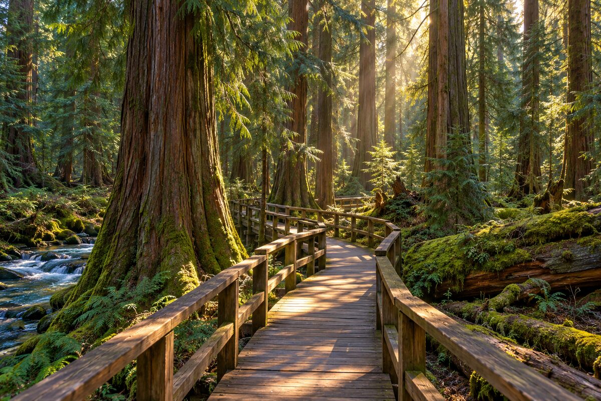
1
Trail of the Cedars
Avalanche Picnic Area; 0.9-mile boardwalk loop through old-growth cedars beside Avalanche Gorge
Walk the 0.9-mile loop on boardwalk and pavement under the old cedars, and stop where Avalanche Creek carves through Avalanche Gorge; listen for American dippers.
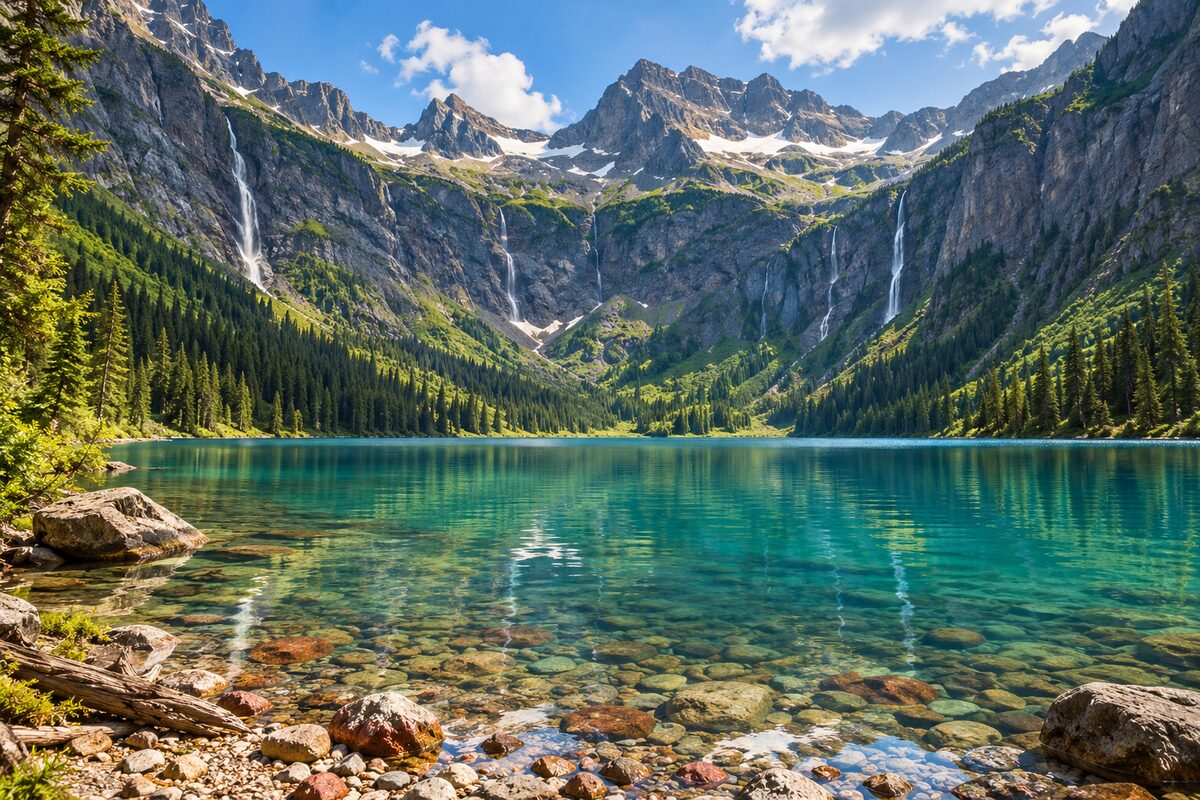
2
Avalanche Lake
2-mile trail from the Trail of the Cedars to a turquoise lake under cliffs
Leave the Trail of the Cedars loop on the Avalanche Lake trail, about 2 miles and 500 feet of climb each way, and walk out to the shore.
Day 2 · ~3.9 mi (6.2 km)
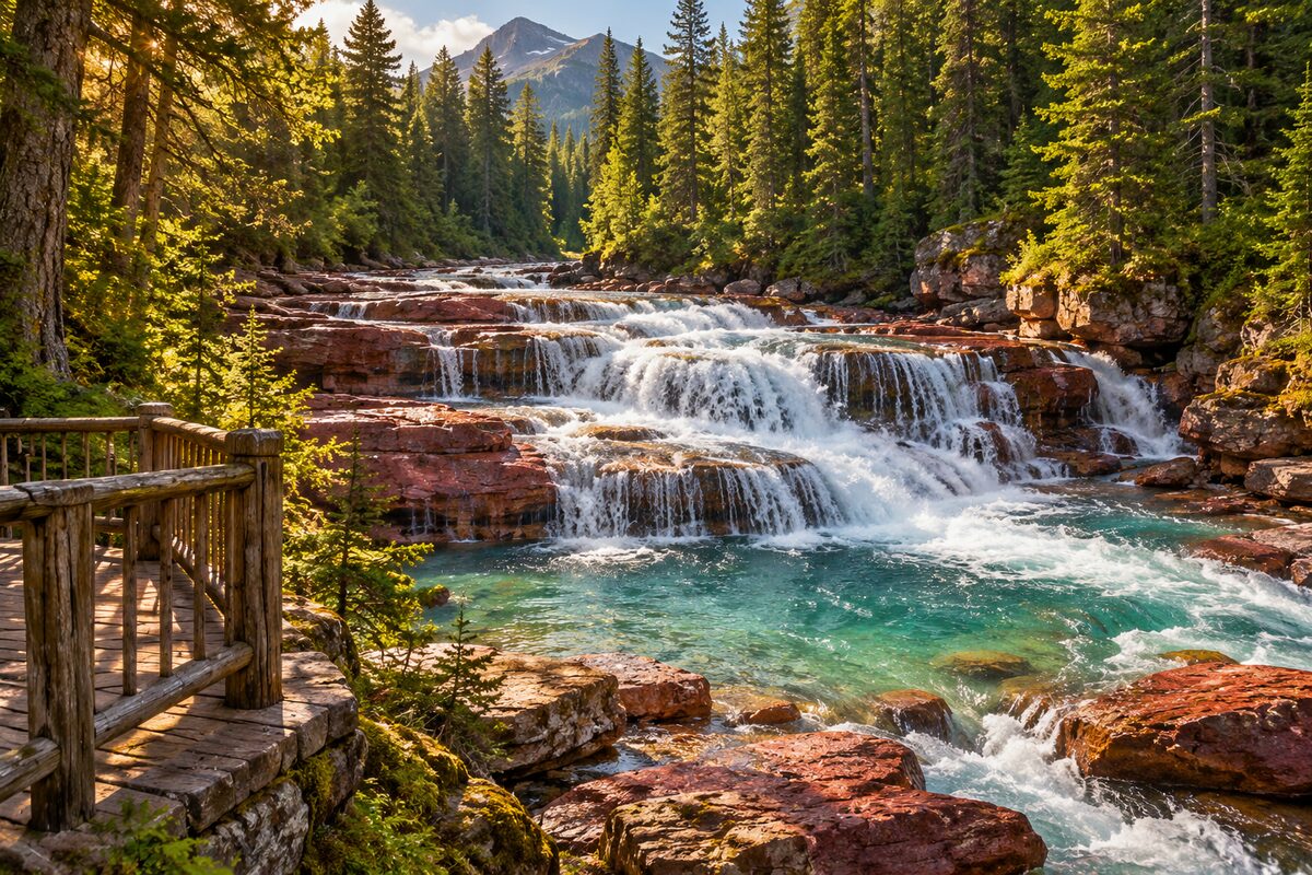
1
Upper McDonald Creek Falls
McDonald Creek above Lake McDonald; roadside falls on the creek beside Going-to-the-Sun Road
Pull off by the creek and walk to the bank to watch the water run over the rock ledges.
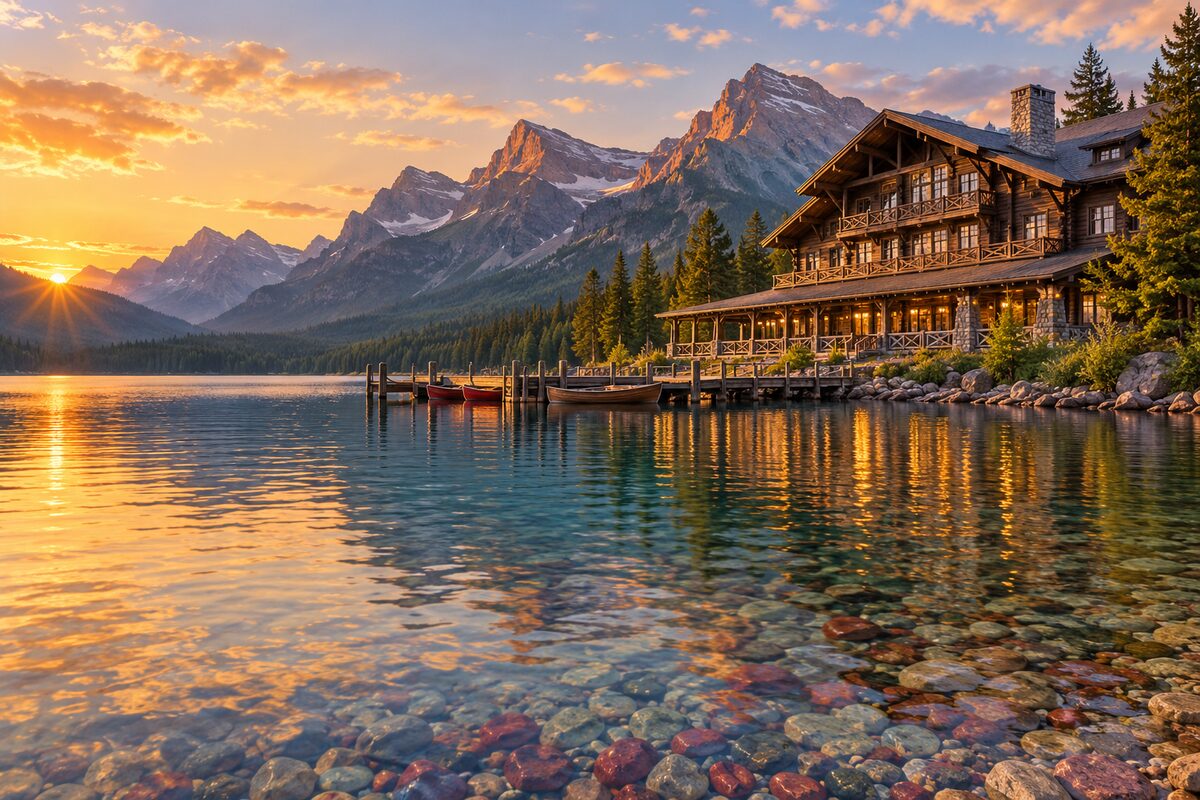
2
Lake McDonald Lodge
east shore of Lake McDonald; Swiss-chalet hotel of 1913-1914 whose front door faces the water
Walk around to the lake side of the lodge: that was the front entrance, back when guests arrived by boat.
Day 3 · <0.1 mi (<0.1 km)
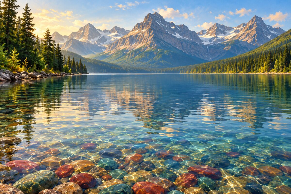
1
Apgar Village
foot of Lake McDonald; old homestead settlement turned the park's west-side hub on the shore
Walk down to the shore at the foot of Lake McDonald and look up the lake's 10-mile length toward the mountains.
More of the top sights
A few of the 14 places in the full guide. Each one has its own written guide in the app: what to do, what to notice, the history, and why it hits.
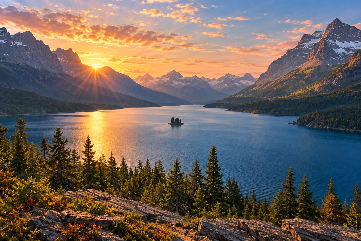
Wild Goose Island Overlook
St. Mary Lake; a tiny island 14 feet above the water under towering peaks
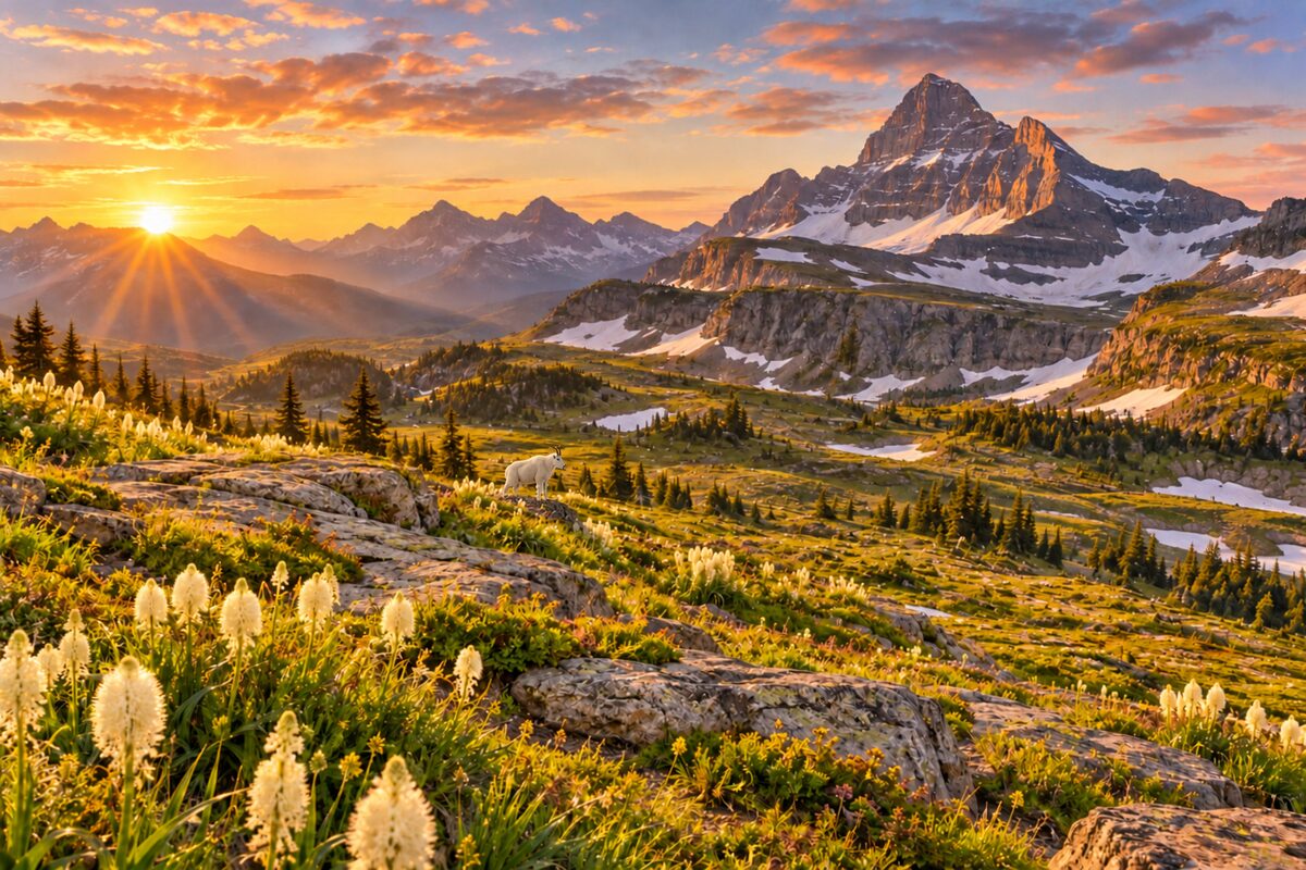
Logan Pass
Continental Divide at 6,646 feet; the road's high point, with alpine meadows and a summer visitor center
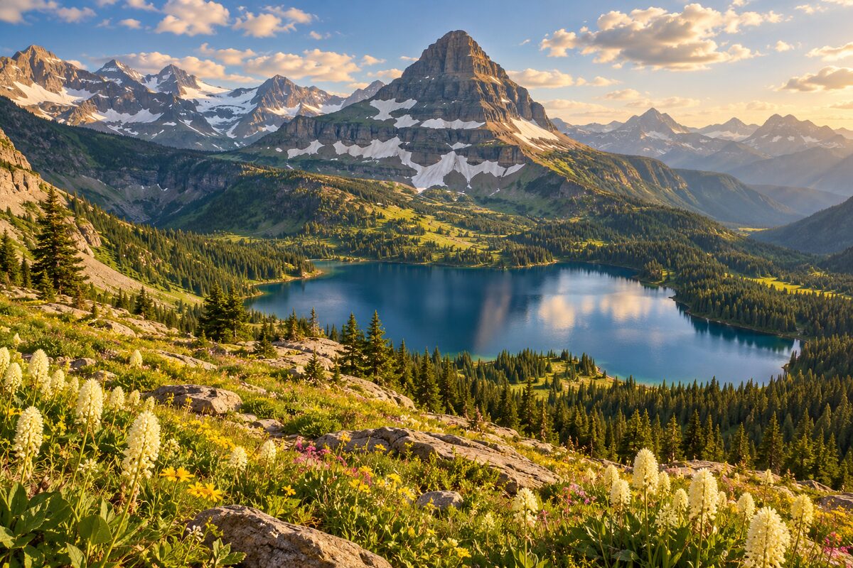
Hidden Lake Overlook
trail from Logan Pass across alpine meadows to a view over Hidden Lake
Areas
West: Lake McDonald Valley · The Climb: Garden Wall and Logan Pass · East: St. Mary Valley
Illustrations are drawn for the app. Place descriptions are written by hand and checked against a primary source; facts draw on Wikidata (CC0) and Wikipedia (CC BY-SA). Maps © OpenStreetMap contributors.