Guides · Death Valley
Death Valley
13 places · 3 areas · the first stage free, then $4.99 for the whole city · offline map 1.6 MB
Try it free
The first stage of Death Valley is free
The map and every stage title are open; the first stage opens with its full guide. Unlock the drive for the rest.
The free first stage
4 of the highlights, 3 days, about 5.6 mi (9.0 km), planned by the app's own engine and shown here with their guide. In the app you choose your own.
Day 1 · ~5.6 mi (9.0 km)
1
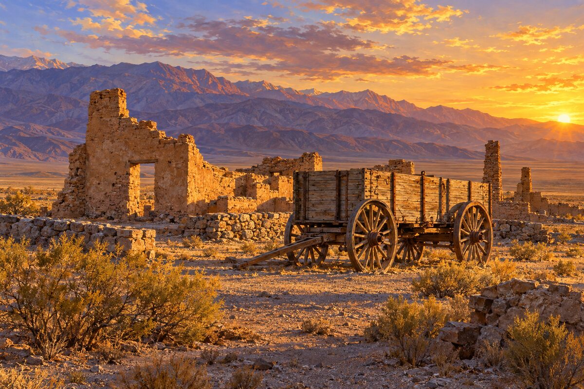
Harmony Borax Works
just off CA-190 near Furnace Creek; ruins of the 1883-1888 borax plant and a 20-mule team wagon
Walk the short 0.4-mile loop past the ruins of the plant and the big double wagon with its water tank, the kind the 20-mule teams hauled.
2
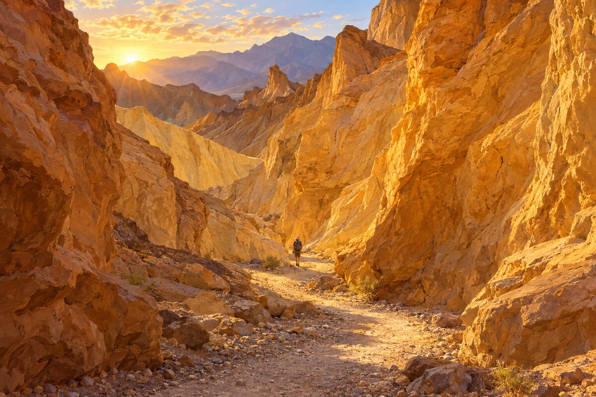
Golden Canyon
Badwater Road, 2 miles south of CA-190; walk into yellow-walled canyon toward Red Cathedral
Walk the 2-mile round trip into the canyon between its yellow walls, past ripple marks left by ancient water; with more time, scramble on to the fluted red amphitheater of Red Cathedral.
Day 2 · <0.1 mi (<0.1 km)
1
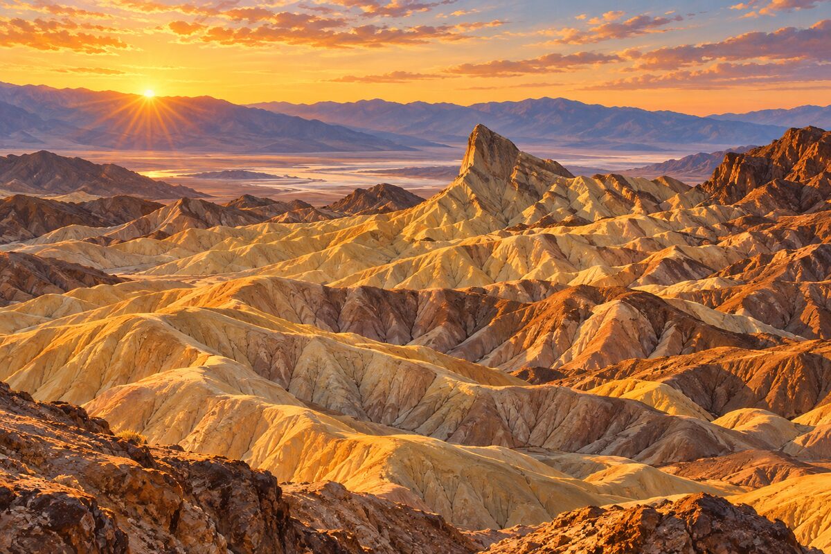
Zabriskie Point
on CA-190 above Furnace Creek; short paved walk to a view over golden badlands and Manly Beacon
Walk the short, wide paved path up to the viewpoint at sunrise and watch the light move across the eroded golden badlands and the tall outcrop of Manly Beacon.
Day 3 · <0.1 mi (<0.1 km)
1
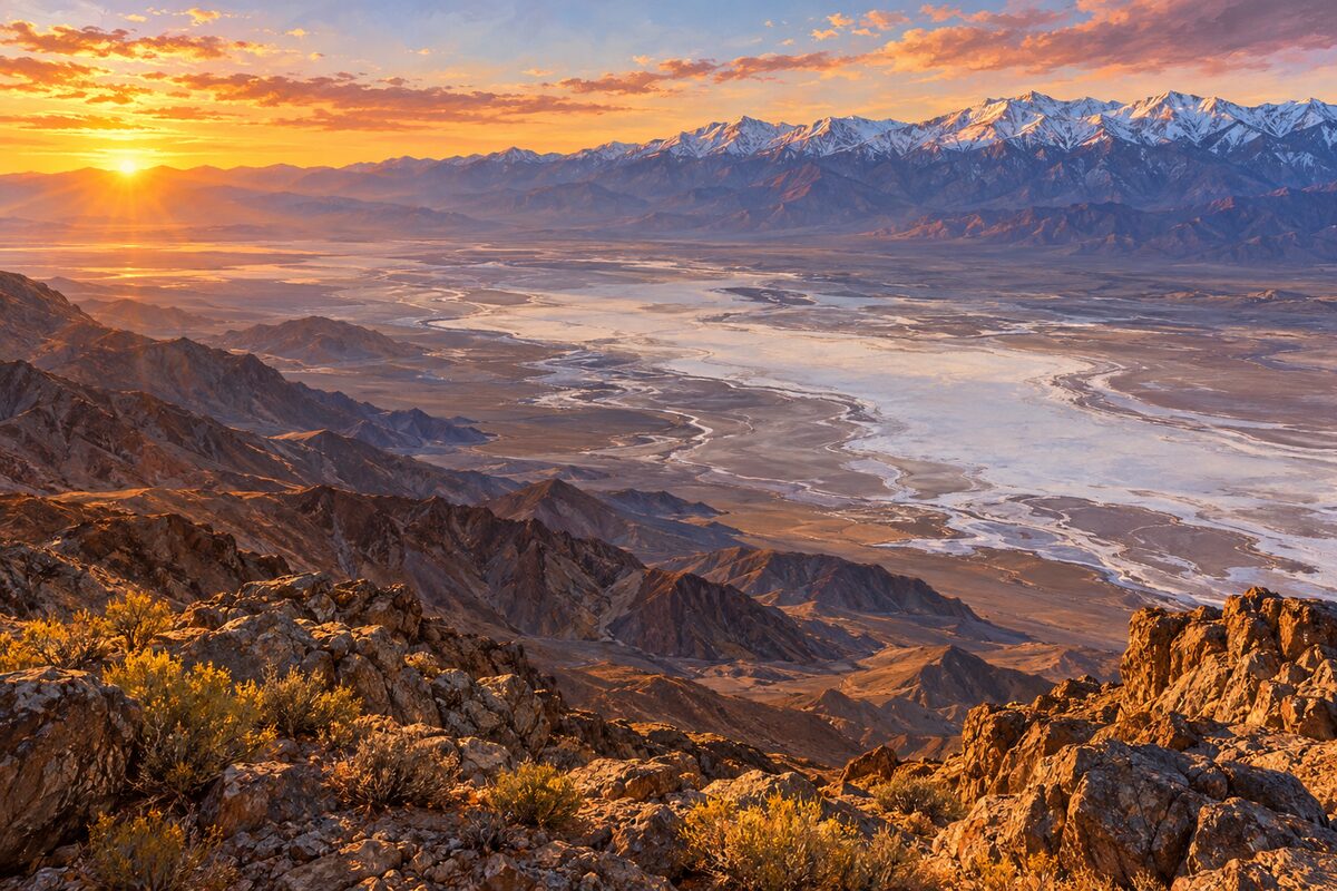
Dante's View
crest of the Black Mountains, 45 minutes from Furnace Creek; overlook at 5,575 feet straight down on Badwater Basin
Stand at the rail and look straight down on the white salt flats of Badwater, then across to the Panamint Range and Telescope Peak; walk a little way north along the ridge for quieter photo spots.
More of the top sights
A few of the 13 places in the full guide. Each one has its own written guide in the app: what to do, what to notice, the history, and why it hits.
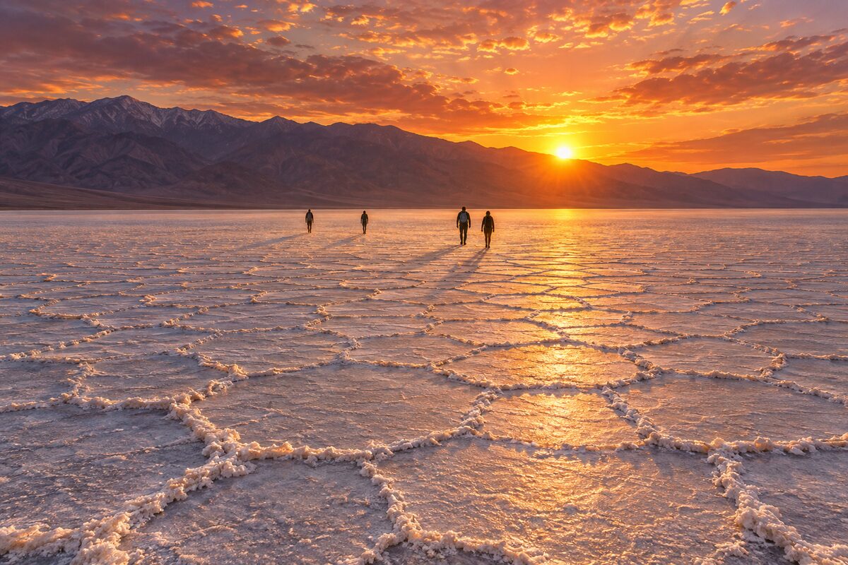
Badwater Basin
Badwater Road; salt flat 282 feet below sea level, the lowest point in North America
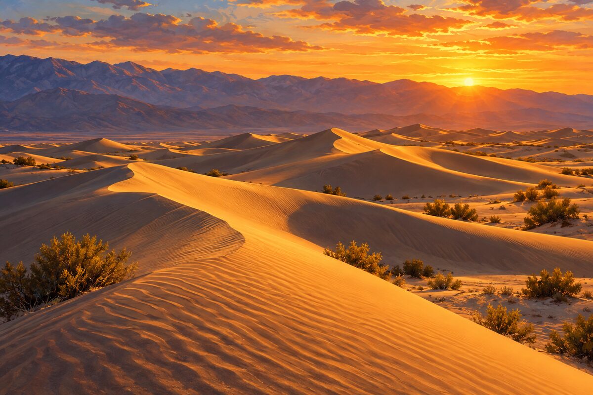
Mesquite Flat Sand Dunes
just east of Stovepipe Wells on CA-190; open dunes on the northern valley floor
Areas
East: Furnace Creek Area · Badwater Road · North and West: Ubehebe to Stovepipe Wells
Illustrations are drawn for the app. Place descriptions are written by hand and checked against a primary source; facts draw on Wikidata (CC0) and Wikipedia (CC BY-SA). Maps © OpenStreetMap contributors.