Guides · Columbia River Gorge
Columbia River Gorge
13 places · 4 areas · the first stage free, then $4.99 for the whole city · offline map 4.3 MB
Try it free
The first stage of Columbia River Gorge is free
The map and every stage title are open; the first stage opens with its full guide. Unlock the drive for the rest.
The free first stage
2 of the highlights, 1 day, about 1.2 mi (1.9 km), planned by the app's own engine and shown here with their guide. In the app you choose your own.
Day 1 · ~1.2 mi (1.9 km)
1
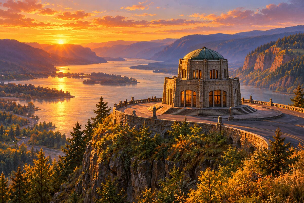
Vista House
Crown Point; 1918 domed stone observatory 733 feet above the Columbia
Take in the view up and down the river from Crown Point, then step inside to see the restored interior.
2
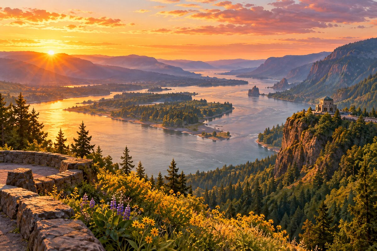
Portland Women's Forum State Scenic Viewpoint
Chanticleer Point, near Corbett; the classic view east up the gorge to Vista House
Walk the short path along a remnant of the old road to the point and frame Crown Point and Vista House above the river.
More of the top sights
A few of the 13 places in the full guide. Each one has its own written guide in the app: what to do, what to notice, the history, and why it hits.
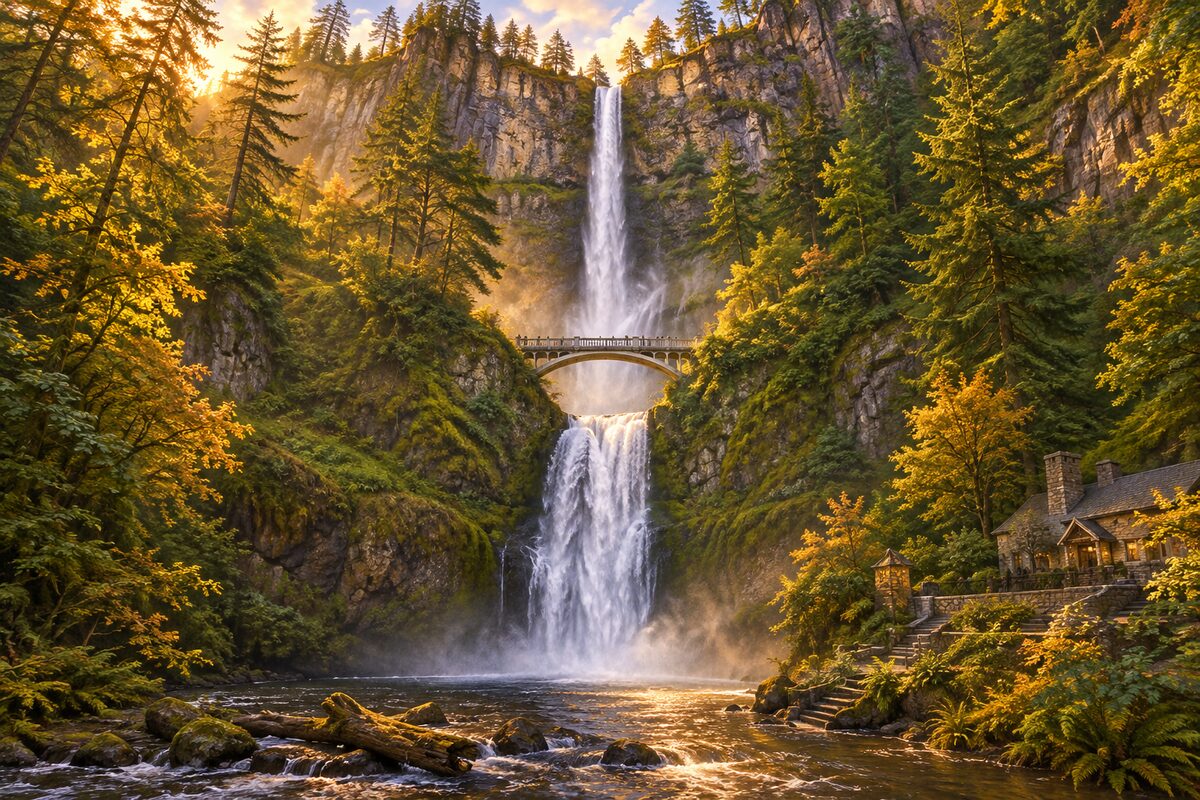
Multnomah Falls
Historic Highway; 620-foot two-tier falls with the Benson Bridge and the 1925 stone lodge
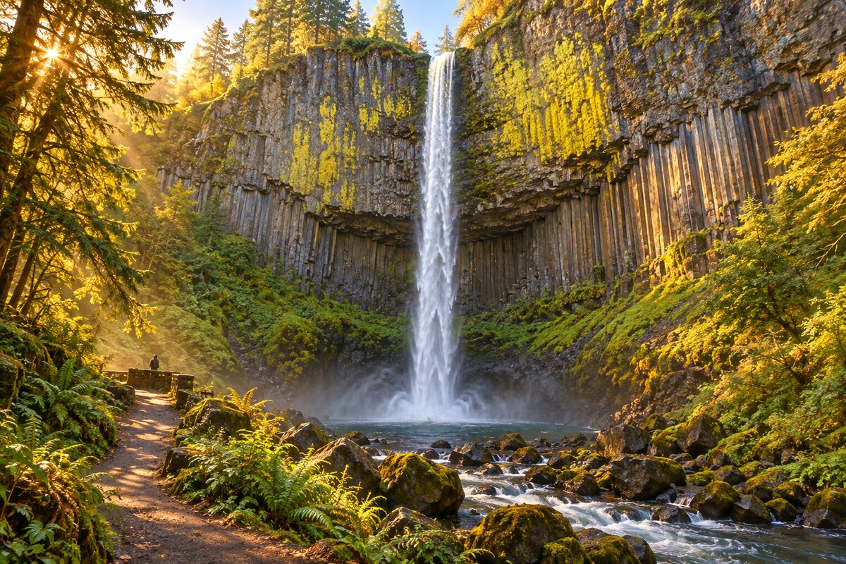
Latourell Falls
Guy W. Talbot State Park, Historic Highway; a 249-foot single plunge from an overhanging basalt cliff
Areas
West Gorge Viewpoints · Waterfall Corridor · Middle Gorge · East Gorge
Illustrations are drawn for the app. Place descriptions are written by hand and checked against a primary source; facts draw on Wikidata (CC0) and Wikipedia (CC BY-SA). Maps © OpenStreetMap contributors.