Guides · Cincinnati
Cincinnati
28 places · 9 areas · any 7 stops free, then $4.99 for the whole city · offline map 48.9 MB
Try it free
Pick any 7 of Cincinnati's 28 places, free
- Browse all 28Every place, where it is and the basics are open to everyone.
- Pick your 7Add any 7 stops to your route. Each opens with its full guide and stays yours.
- Plan and walkBuild day-by-day walks from your picks, as many as you like, offline.
Drives: the first stage of every road trip is free.
An example half day
7 of the highlights, 1 day, about 4.3 mi (7.0 km), planned by the app's own engine and shown here with their guide. In the app you choose your own.
Day 1 · ~4.3 mi (7.0 km)
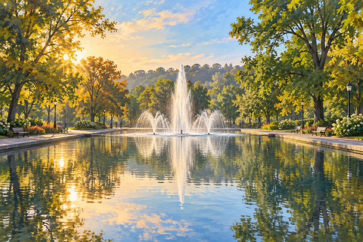
1
Mirror Lake
Eden Park; reflecting pool on the site of an old reservoir
Pause by the reflecting pool on your way between the art museum and the conservatory.

2
Purple People Bridge
Ohio River from Cincinnati to Newport; purple 1872 rail bridge, walkers only since 2003
Walk the half mile across the purple bridge between Ohio and Kentucky at sunset, with the skyline and the Roebling bridge in view.

3
Smale Riverfront Park
Ohio River downtown; riverfront park of gardens, fountains, piers and a carousel below the bridges
Walk the riverside paths and piers, cool off at the fountains on a hot day, and stay for the bridges at dusk.
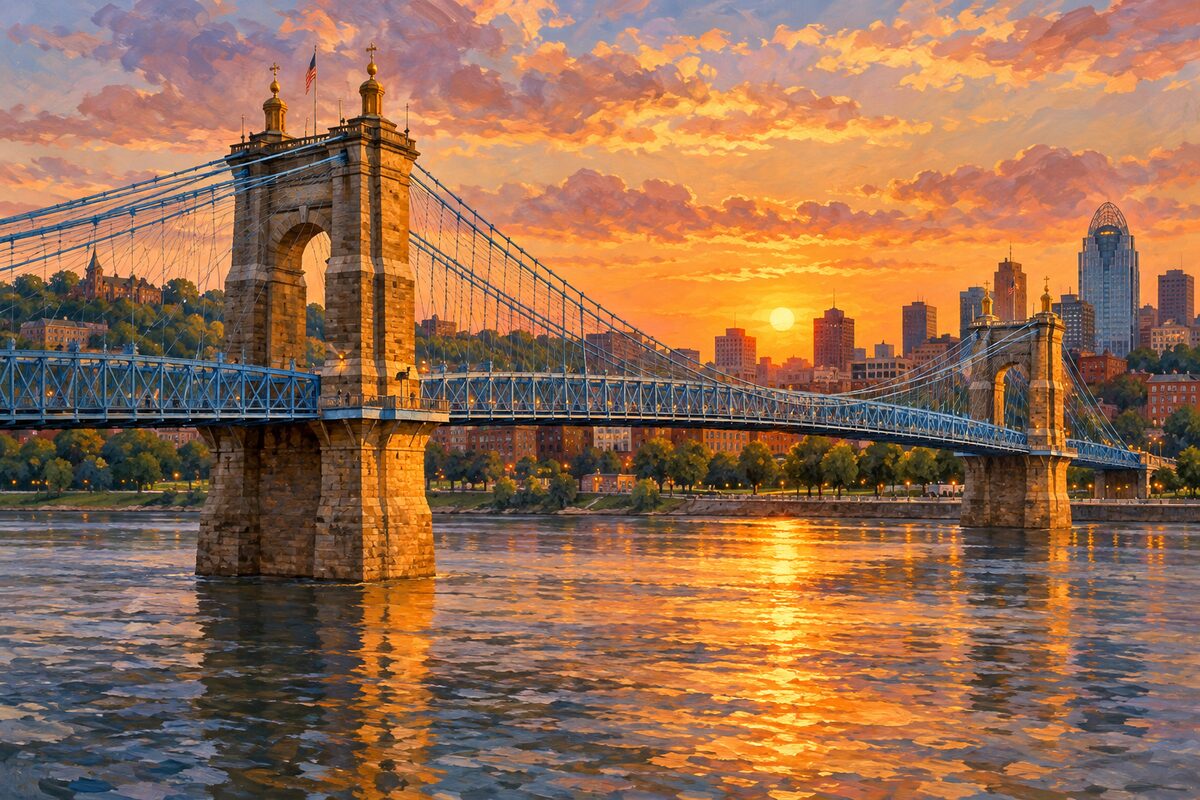
4
John A. Roebling Suspension Bridge
Ohio River to Covington; 1866 suspension bridge, the world's longest span until Roebling's Brooklyn Bridge
Walk across the bridge to Covington, Kentucky, for the view back to the Cincinnati skyline, then return over the Purple People Bridge.
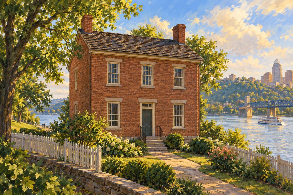
5
Daniel Carter Beard Boyhood Home
Covington; brick house of 1821, boyhood home of a founder of the Boy Scouts of America
See the brick house from the street on a walk through Covington.
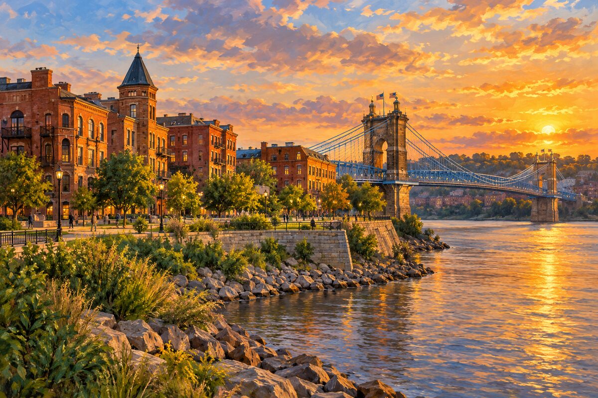
6
Roebling Point
Covington at the bridge; small riverfront district of bars and cafes at the Kentucky end of the Roebling bridge
Walk across the Roebling bridge from Cincinnati and stop for a drink or a meal here, looking back at the skyline.
7
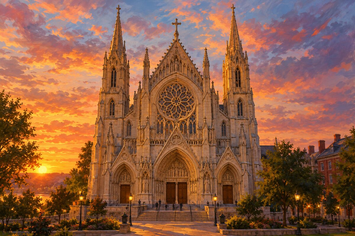
Cathedral Basilica of the Assumption
Covington; cathedral of 1895 with one of the largest handmade stained glass windows in the world
Step inside to see the great stained glass window, 67 feet tall and 24 feet wide.
More of the top sights
A few of the 28 places in the full guide. Each one has its own written guide in the app: what to do, what to notice, the history, and why it hits.
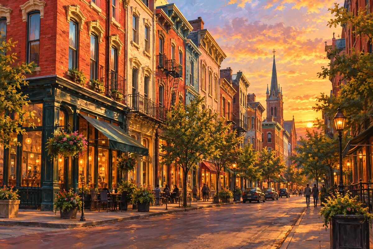
Over-the-Rhine Historic District
North of downtown; 19th-century German neighborhood of brick row buildings, much changed since 2001
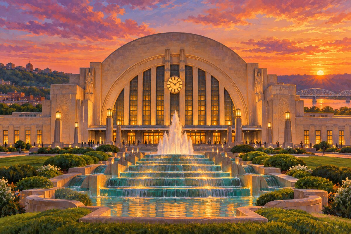
Cincinnati Union Terminal
1301 Western Avenue; 1933 Art Deco station under a 180-foot half dome, now the Cincinnati Museum Center
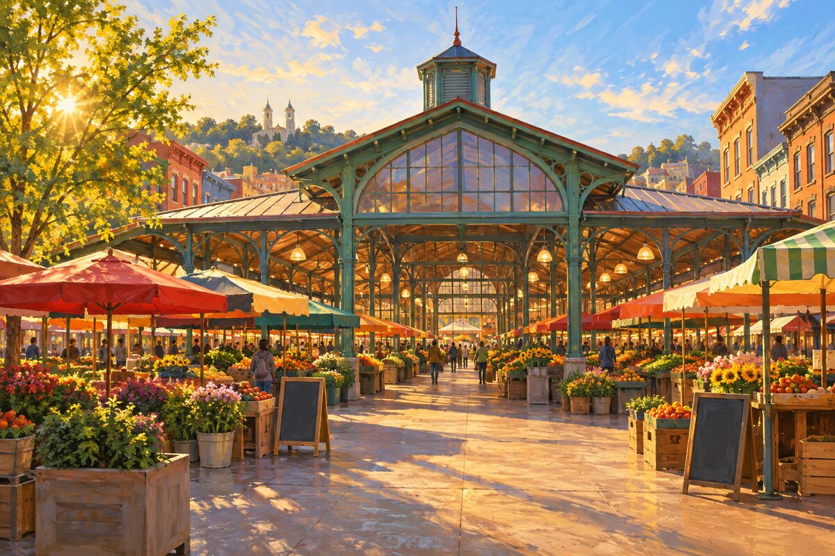
Findlay Market
Over-the-Rhine; Ohio's oldest continuously operated public market, in an iron-framed hall of 1852
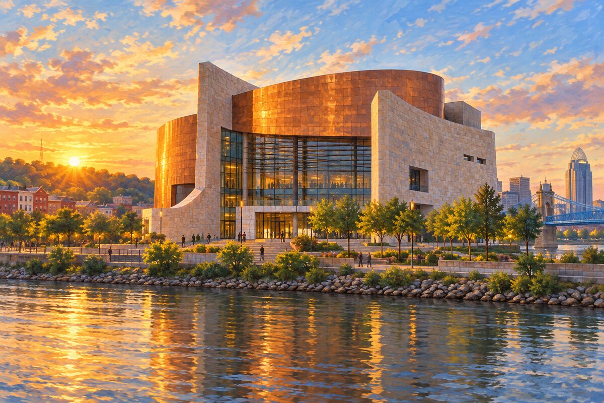
National Underground Railroad Freedom Center
50 E. Freedom Way; museum of the Underground Railroad on the Ohio, with a slave pen of 1830
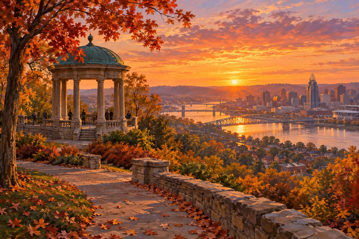
Eden Park
Walnut Hills; 186-acre hilltop park with overlooks of the Ohio River valley

National Museum of the United States Air Force
Wright-Patterson Air Force Base near Dayton; free museum of more than 360 aircraft and missiles
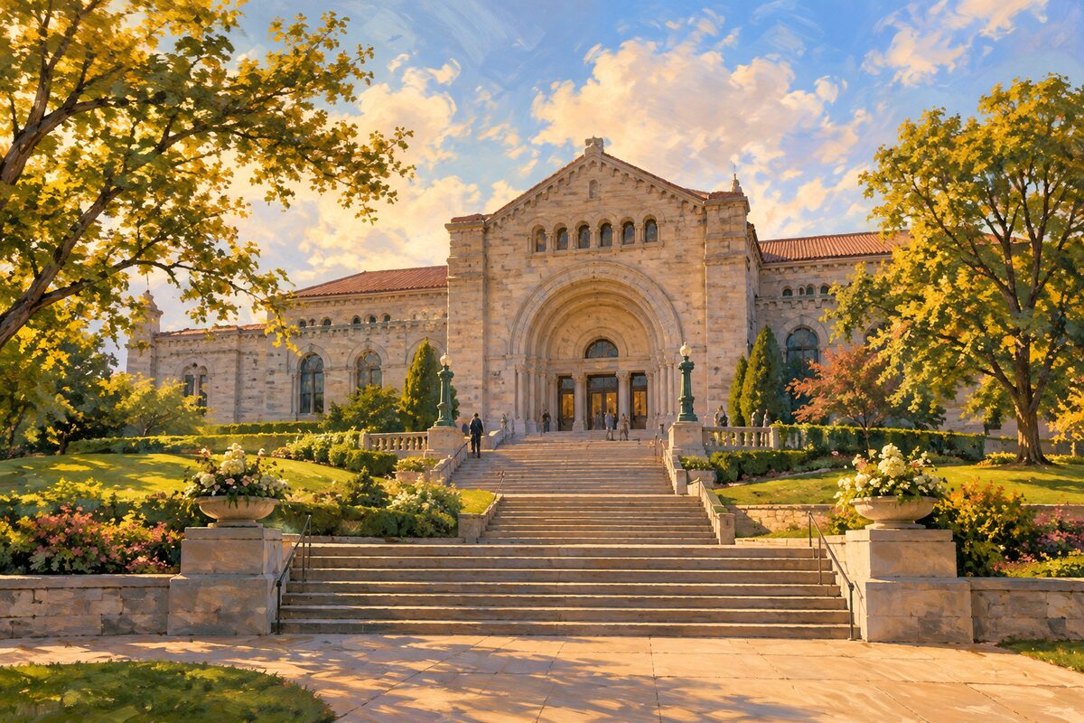
Cincinnati Art Museum
Eden Park; free art museum of 1881 with more than 67,000 works across 6,000 years
Areas
Riverfront · Downtown · Over-the-Rhine · Union Terminal · Eden Park and Mount Adams · Uptown · Covington and Newport · Spring Grove · Dayton
Illustrations are drawn for the app. Place descriptions are written by hand and checked against a primary source; facts draw on Wikidata (CC0) and Wikipedia (CC BY-SA). Maps © OpenStreetMap contributors.