Guides · Charleston
Charleston
115 places · 13 areas · a free route, then $4.99 for the whole city · offline map 7.1 MB
The free route
Free in the app, permanently, before you pay anything. 8 stops, 1 day, about 1.7 km, planned by the app's own engine.
Day 1 · ~1.7 km
1
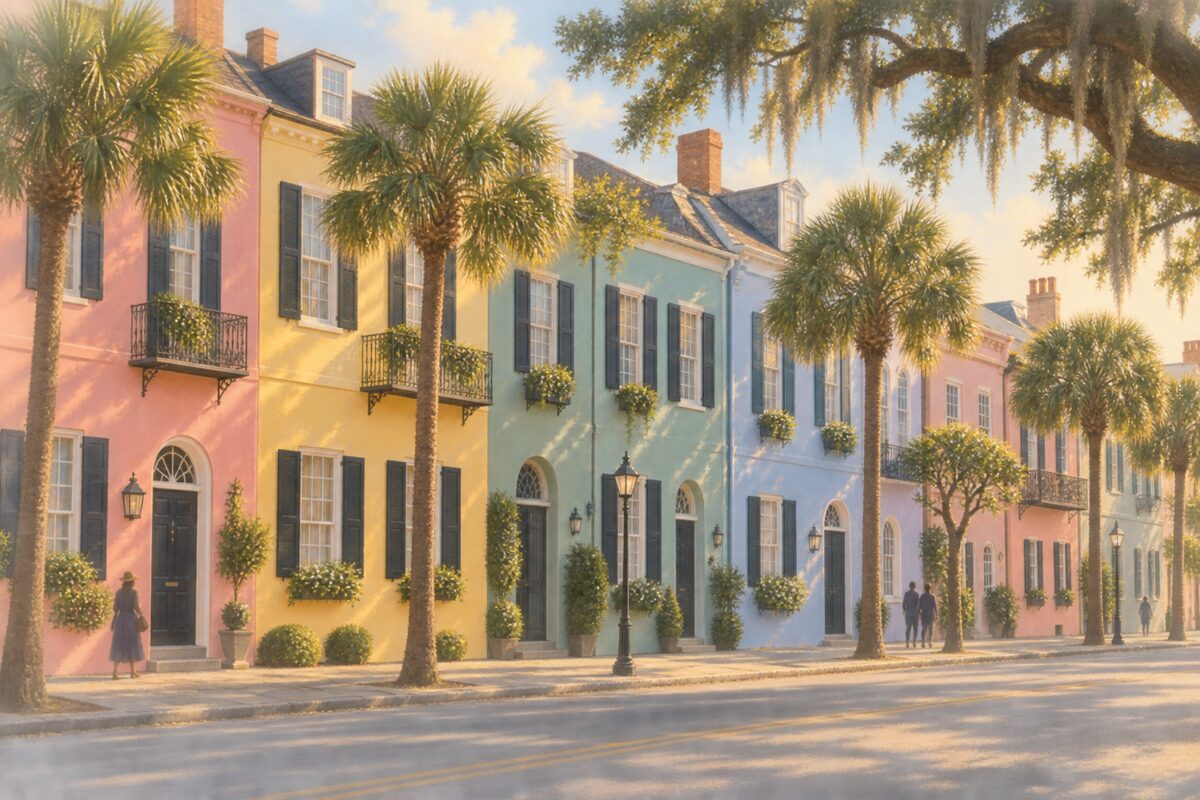
Rainbow Row
Thirteen pastel merchant houses whose colours date from a 1930s restoration, not from the 18th century
Photograph the run of pastel houses from across East Bay in the morning, when the light is on the fronts.
2
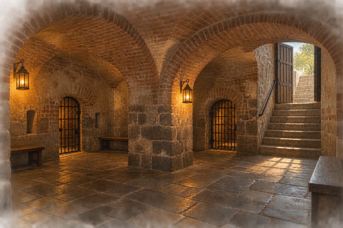
Old Exchange and Provost Dungeon
A colonial custom house over a British prison cellar, and the ground where enslaved people were sold
Go down into the dungeon beneath the Exchange, where the British jailed Charleston patriots during the Revolution, then read what happened on the ground above.
3
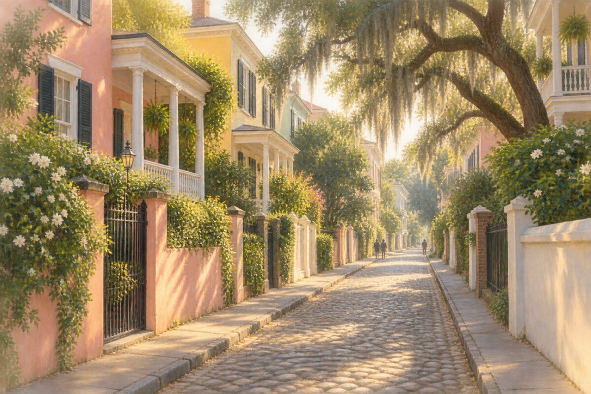
Tradd Street
Piazzas, garden walls and the plainest version of the Charleston single house, street after street
Walk it slowly for the houses rather than any one address: piazzas, garden walls and the plain single house, block after block, mostly eighteenth and nineteenth century.
4
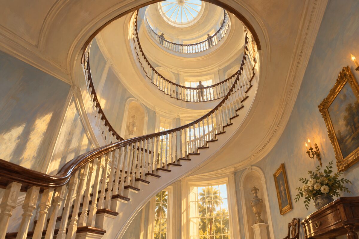
Nathaniel Russell House
A merchant's house built on rice and the slave trade, with a free-flying stair that holds up nothing
Go for the staircase and nothing else, then let the rest of the house happen around it. It is elliptical, free-flying, three storeys, and each cantilevered step holds the one above and below it — there is no column, no visible support, and people call it a spiral, which it is not.
5
Williams Mansion
The Gilded Age pile of 35 rooms, the largest single-family house on the peninsula
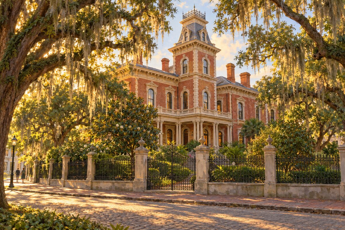
Look at it from Meeting Street and read the scale rather than the detail: this is the largest single-family house in the city, and the point is that one merchant could build it.
6
Edmondston-Alston House
The piazza from which the shelling of Fort Sumter was watched
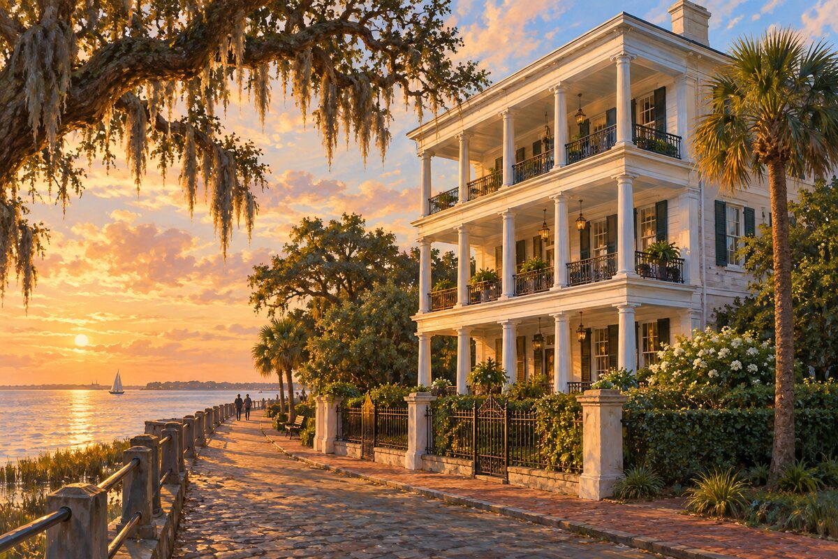
Get out onto the piazza and look at the harbour. Fort Sumter is out there across the water, and by tradition this is where General Beauregard stood to watch the first shells fall on it in April 1861.
7
The High Battery
The raised seawall promenade, built to keep the harbour out and now the best walk in the city
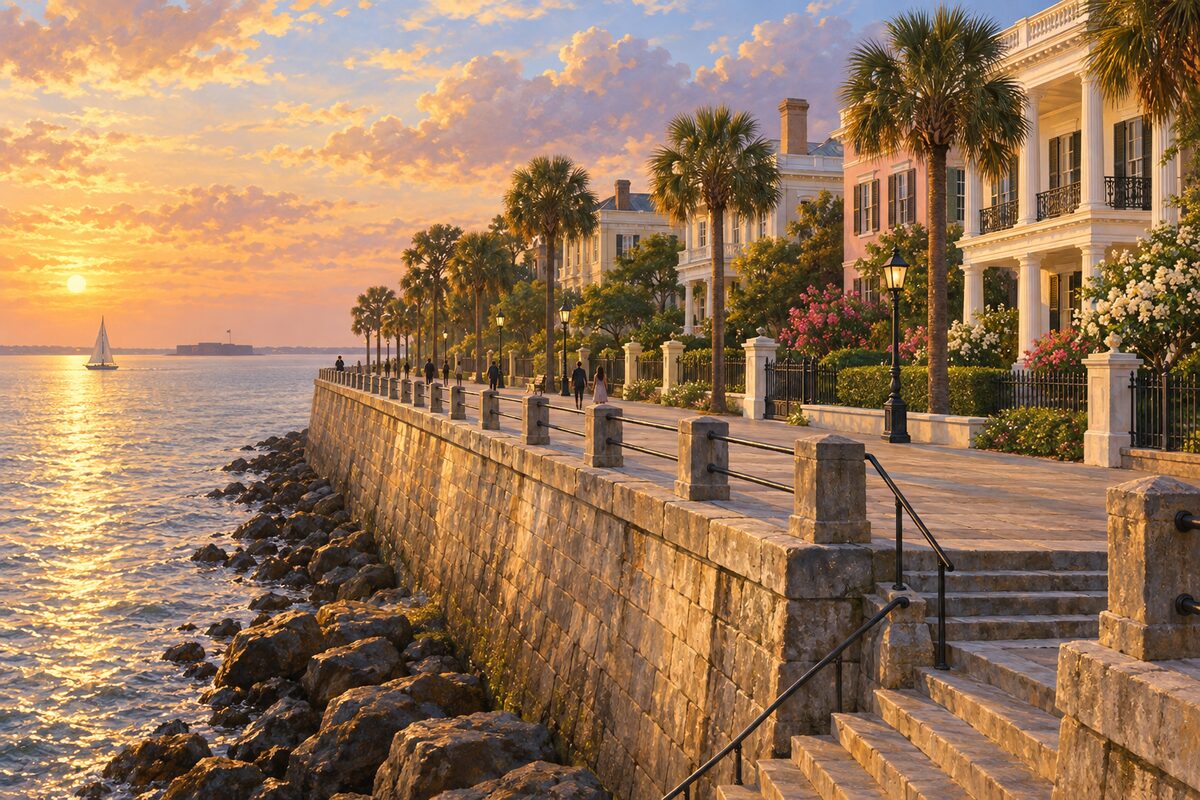
Get up onto the wall itself rather than walking the street below it; the raised walk is the whole point and it runs from the corner at White Point Garden along the harbour.
8
White Point Garden
War memorials under live oaks at the peninsula tip, where the city hanged the pirate Stede Bonnet in 1718
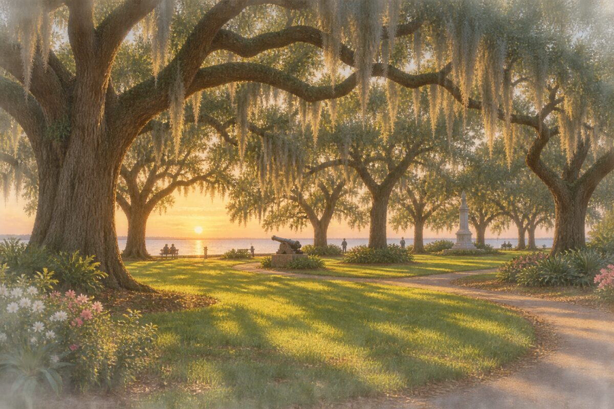
Cut through under the live oaks at the tip of the peninsula, where the two seawalls meet, and use it as the hinge between the High Battery and Murray Boulevard rather than as a destination.
More of the top sights
A few of the 115 places in the full guide. Each one has its own written guide in the app: what to do, what to notice, the history, and why it hits.
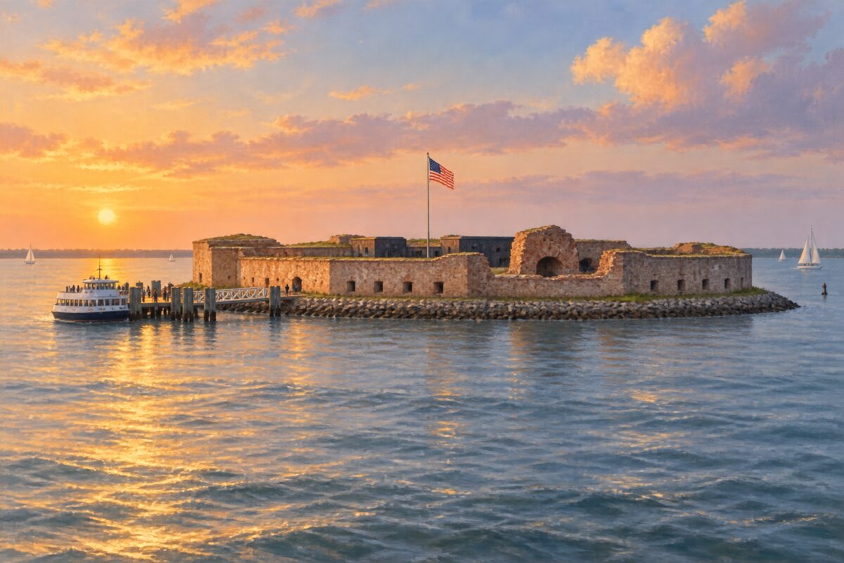
Fort Sumter
Reachable only by ferry; the Civil War began here, at the fort built around its own ruins

International African American Museum
Built on Gadsden's Wharf, where nearly half of enslaved Africans reaching North America first came ashore
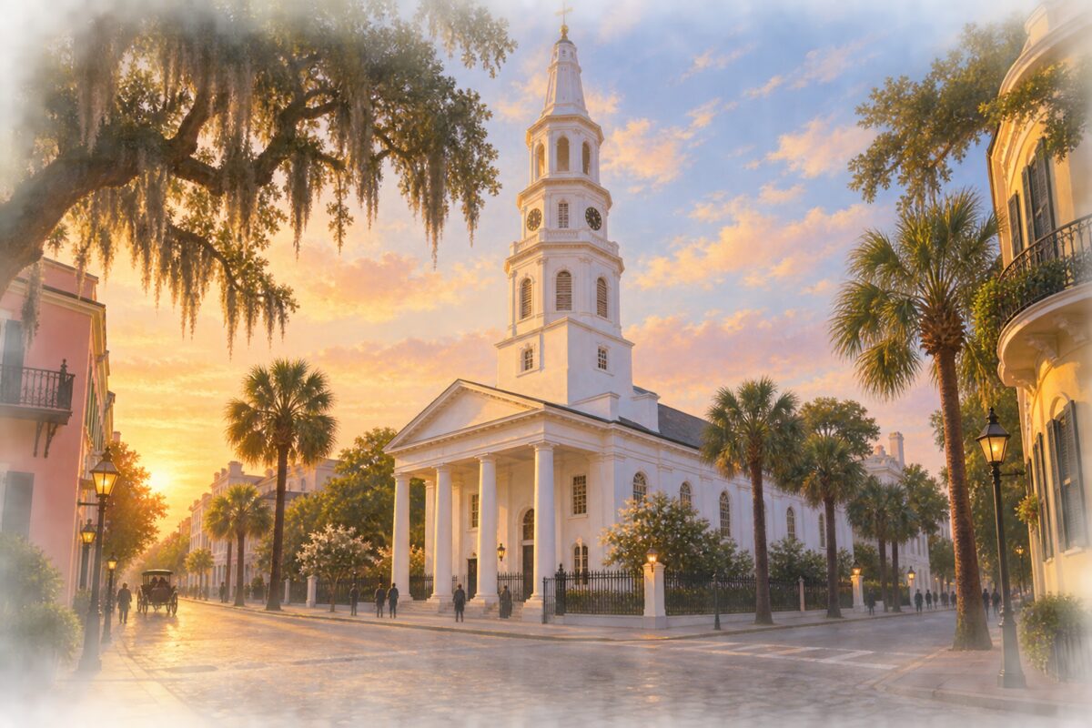
St. Michael's Church
The oldest church building in the city, its white steeple long a landmark for ships entering the harbour
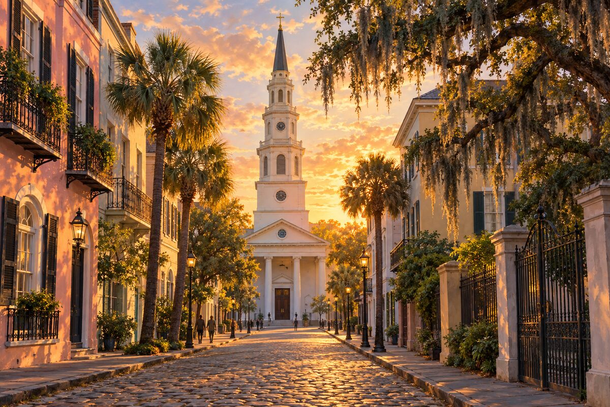
St. Philip's Church
The steeple that ships steered by, over a churchyard holding John C. Calhoun
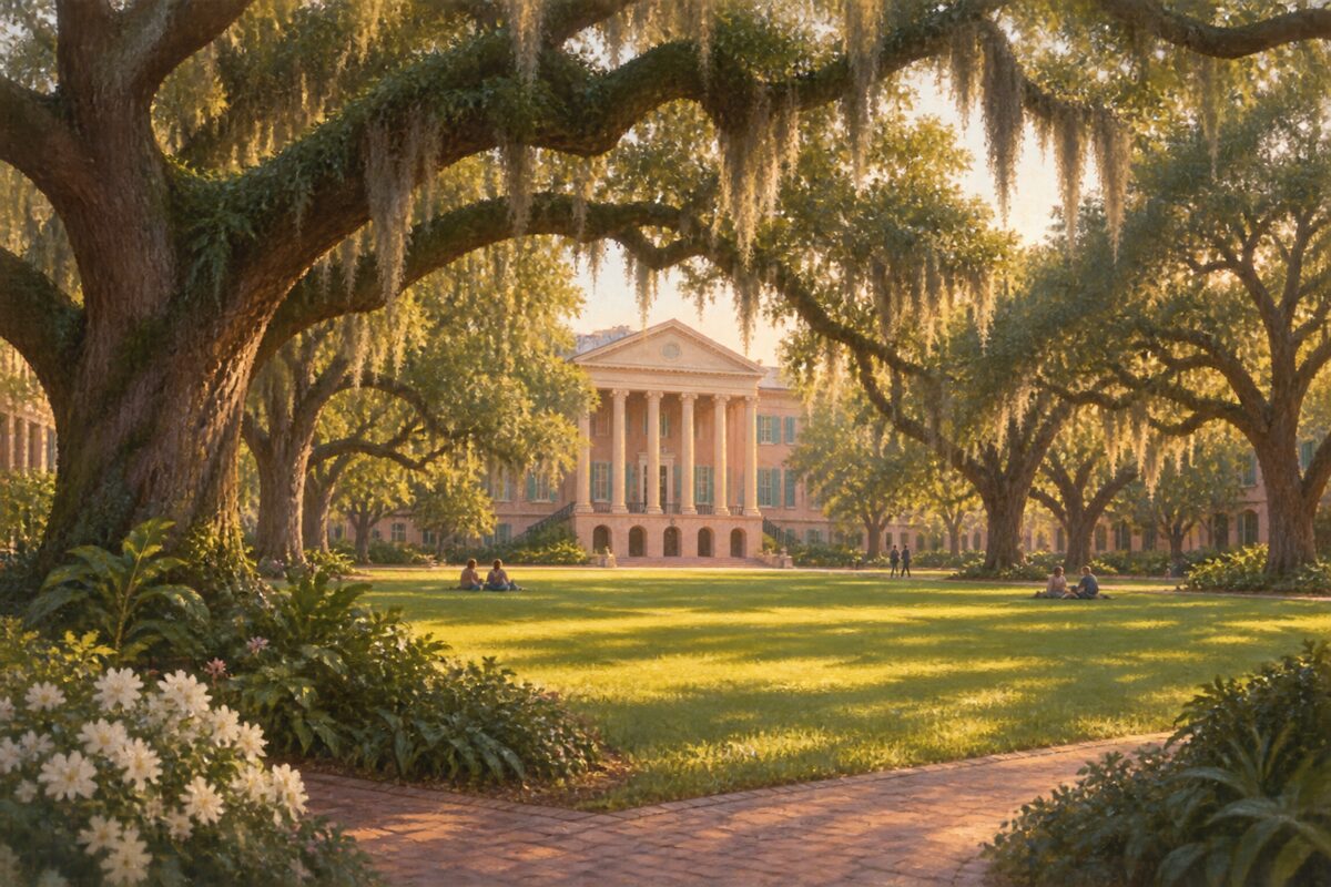
Cistern Yard
The oak-shaded green where every graduating class still walks out in white
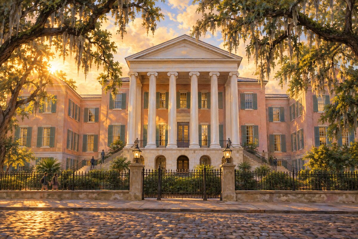
Randolph Hall
The Greek Revival centre of a college chartered before the Constitution
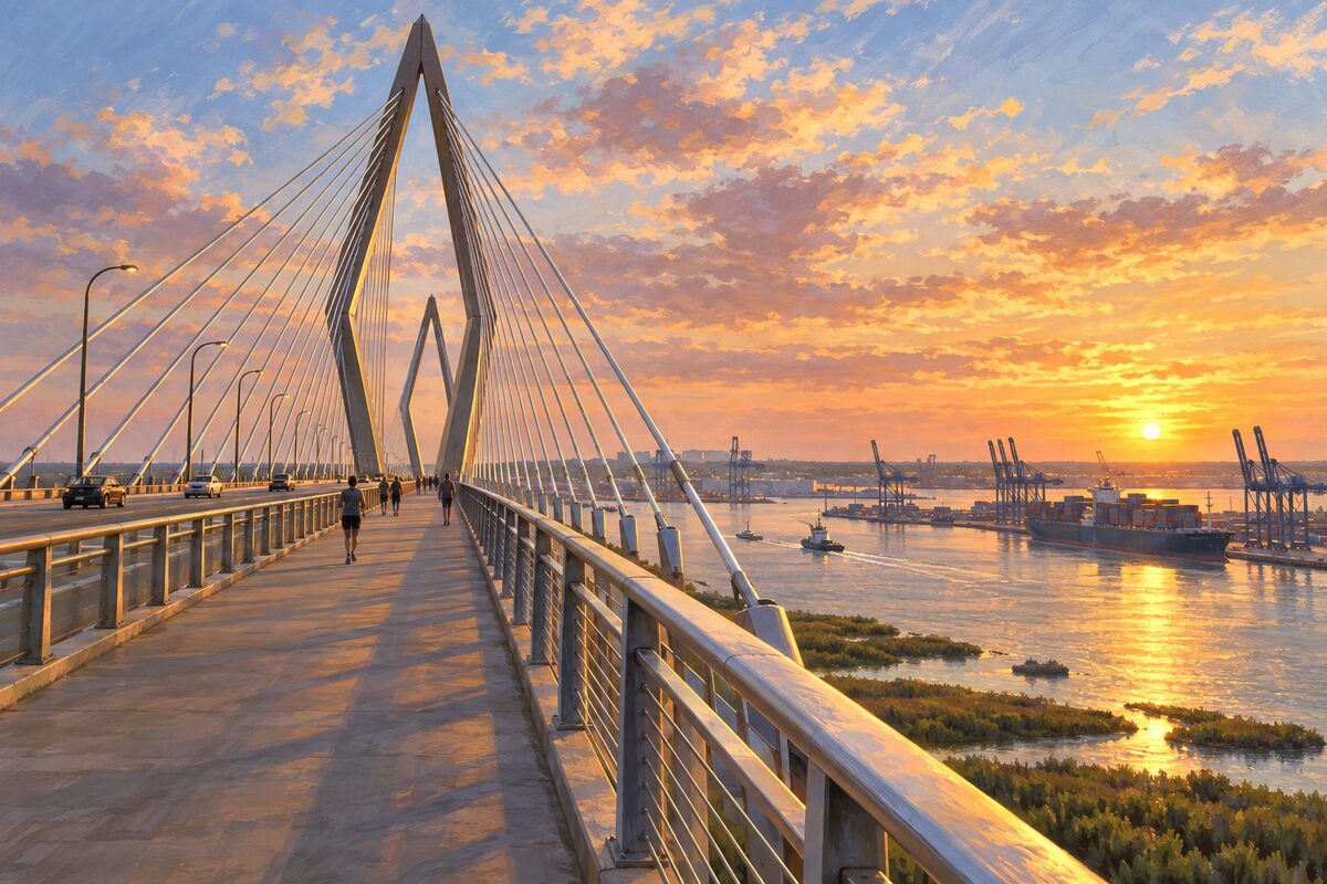
Arthur Ravenel Jr. Bridge
Wonders' Way, the walking lane on the south side of the span, over the harbour
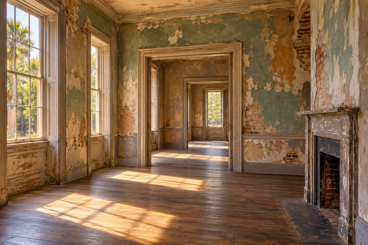
Aiken-Rhett House Museum
A townhouse left as it was found, the enslaved quarters, kitchen and stable yard still standing behind it
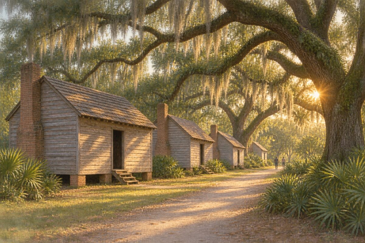
McLeod Plantation Historic Site
A Sea Island cotton plantation told from the enslaved community's side, with the cabins still standing
Areas
The Battery & South of Broad · East Bay & Rainbow Row · Broad Street & the Four Corners of Law · The French Quarter · The City Market & Meeting Street · Waterfront Park & the Cooper River · Ansonborough & Mazyck-Wraggborough · Harleston Village & the College of Charleston · Marion Square & Upper King · Hampton Park & the Upper Peninsula · Mount Pleasant & the Ravenel Bridge · Charleston Harbor & the Islands · West Ashley & James Island
Illustrations are drawn for the app. Place descriptions are written by hand and checked against a primary source; facts draw on Wikidata (CC0) and Wikipedia (CC BY-SA). Maps © OpenStreetMap contributors.