Guides · Scenic Byway 12
Scenic Byway 12
10 places · 3 areas · the first stage free, then $4.99 for the whole city · offline map 2.9 MB
Try it free
The first stage of Scenic Byway 12 is free
The map and every stage title are open; the first stage opens with its full guide. Unlock the drive for the rest.
The free first stage
2 of the highlights, 2 days, about <0.1 mi (<0.1 km), planned by the app's own engine and shown here with their guide. In the app you choose your own.
Day 1 · <0.1 mi (<0.1 km)
1
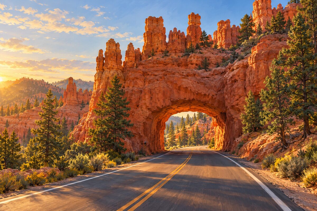
Red Canyon
Dixie National Forest, first miles of SR-12 east of US-89; red spires, pines and rock-fin tunnels on the way to Bryce
Drive through the tunnel cut in a red rock fin, then stop at the Red Canyon Visitor Center and walk a short stretch of the Pink Ledges or Hoodoo trail among the red spires and green pines.
Day 2 · <0.1 mi (<0.1 km)
1
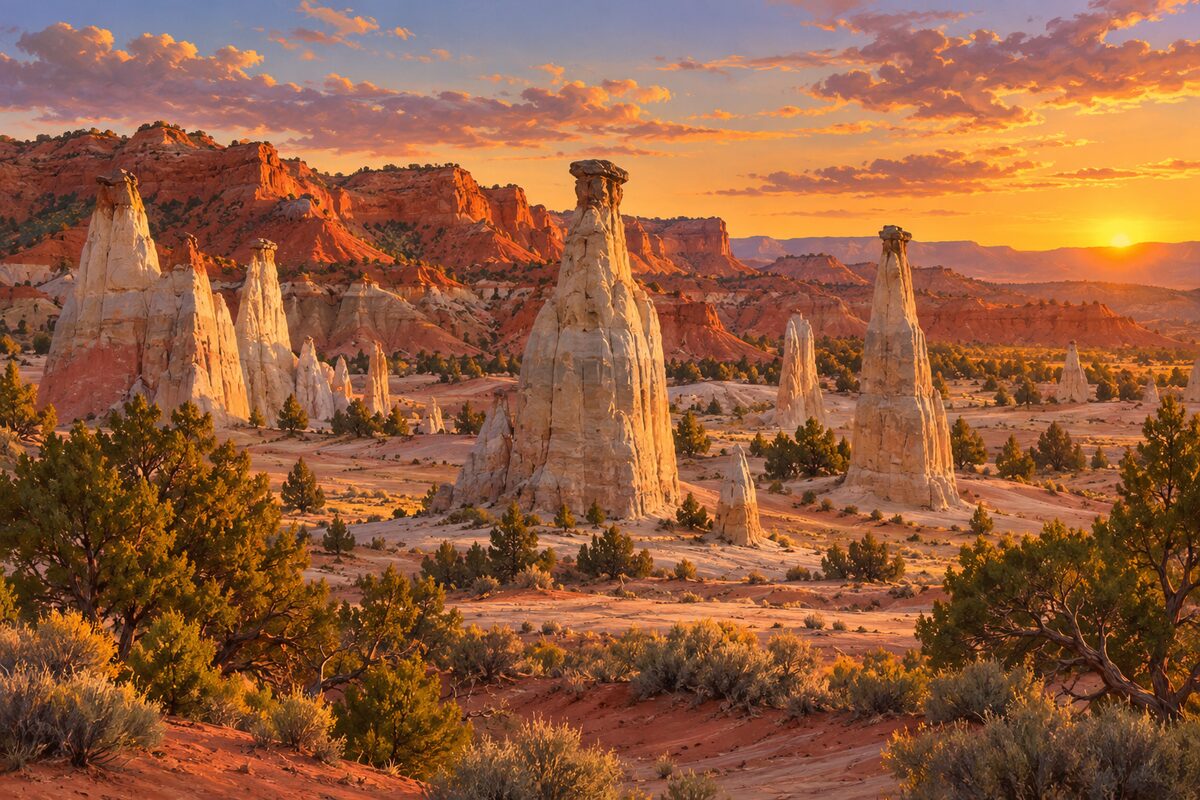
Kodachrome Basin State Park
12 miles south of Cannonville on a paved road; basin of 67 stone chimneys named after a color film
Walk among the sand pipes, tall stone chimneys standing out of the basin floor, and stay for the evening light on the sandstone spires.
More of the top sights
A few of the 10 places in the full guide. Each one has its own written guide in the app: what to do, what to notice, the history, and why it hits.
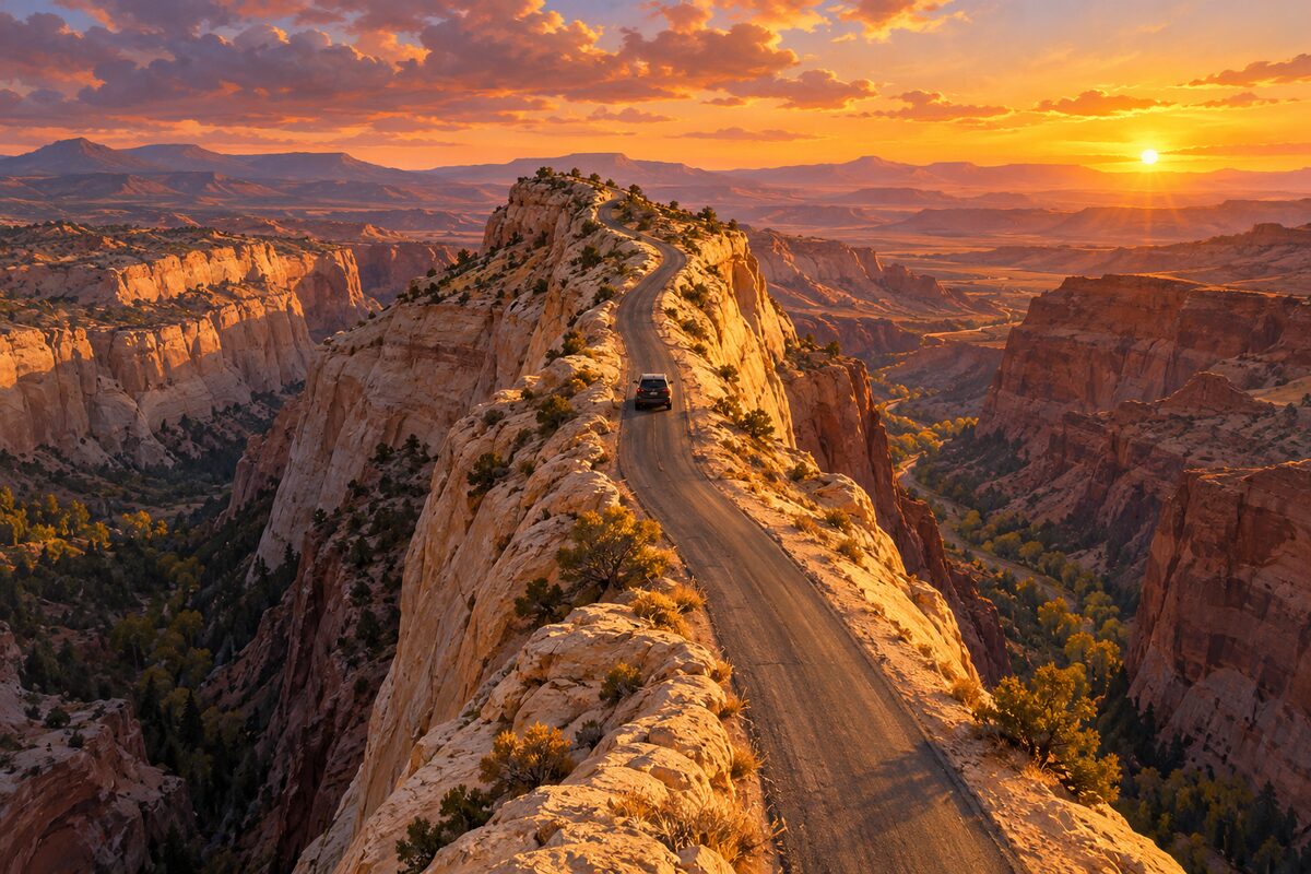
The Hogback
SR-12 between Escalante and Boulder; road along a narrow ridge with drops on both sides
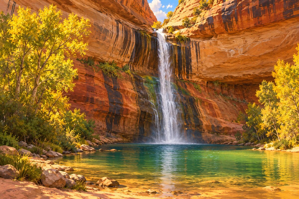
Lower Calf Creek Falls
Grand Staircase-Escalante National Monument, between Escalante and Boulder; trail to a 126-foot waterfall
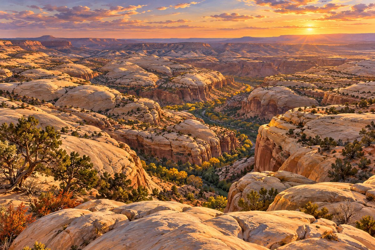
Head of the Rocks Overlook
SR-12 about 10 miles east of Escalante; overlook across a sea of slickrock in the Escalante canyons
Areas
West: Red Canyon and Cannonville · Escalante and the Grand Staircase · Boulder and Boulder Mountain
Illustrations are drawn for the app. Place descriptions are written by hand and checked against a primary source; facts draw on Wikidata (CC0) and Wikipedia (CC BY-SA). Maps © OpenStreetMap contributors.