Guides · Blue Ridge Parkway
Blue Ridge Parkway
19 places · 4 areas · the first stage free, then $4.99 for the whole city · offline map 39.6 MB
Try it free
The first stage of Blue Ridge Parkway is free
The map and every stage title are open; the first stage opens with its full guide. Unlock the drive for the rest.
The free first stage
6 of the highlights, 6 days, about <0.1 mi (<0.1 km), planned by the app's own engine and shown here with their guide. In the app you choose your own.
Day 1 · <0.1 mi (<0.1 km)
1
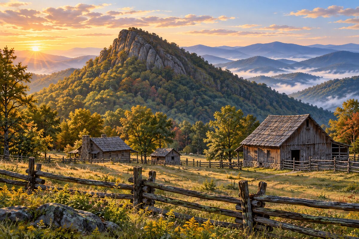
Humpback Rock
milepost 6; steep climb to a rocky summit above a pioneer farm
Walk through the 19th-century farm buildings by the visitor center, then climb to the rocks for the view.
Day 2 · <0.1 mi (<0.1 km)
1
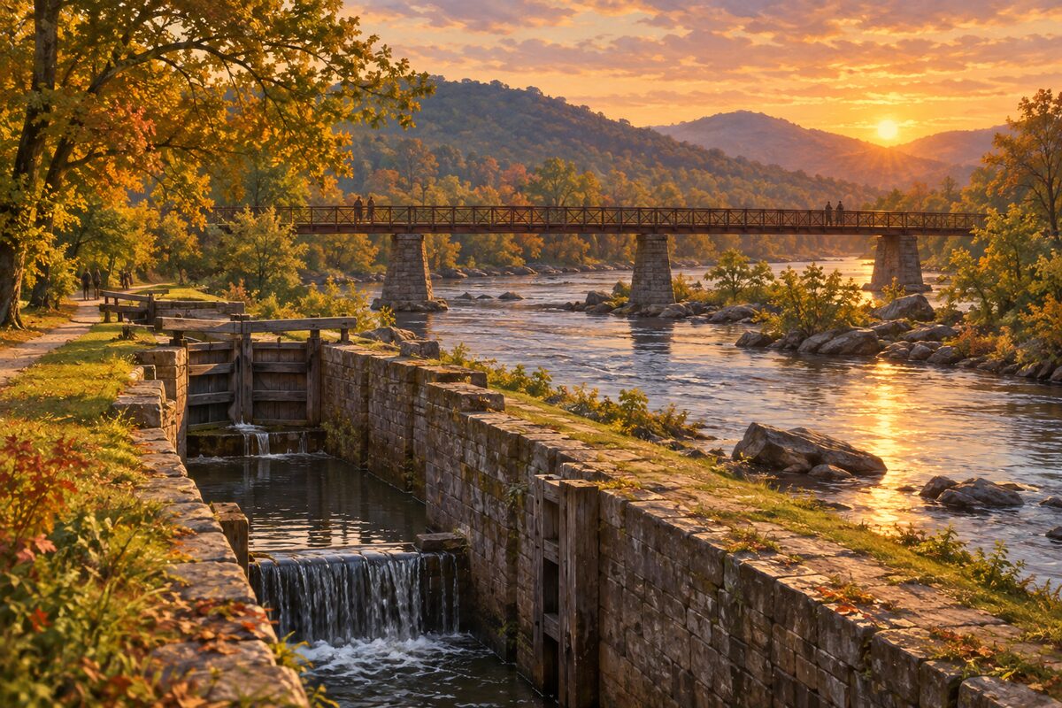
James River and Kanawha Canal
milepost 63.7; restored canal lock beside the James River
Walk one of the short Canal Lock Trails to the restored lock, and the Trail of Trees along the river.
Day 3 · <0.1 mi (<0.1 km)
1
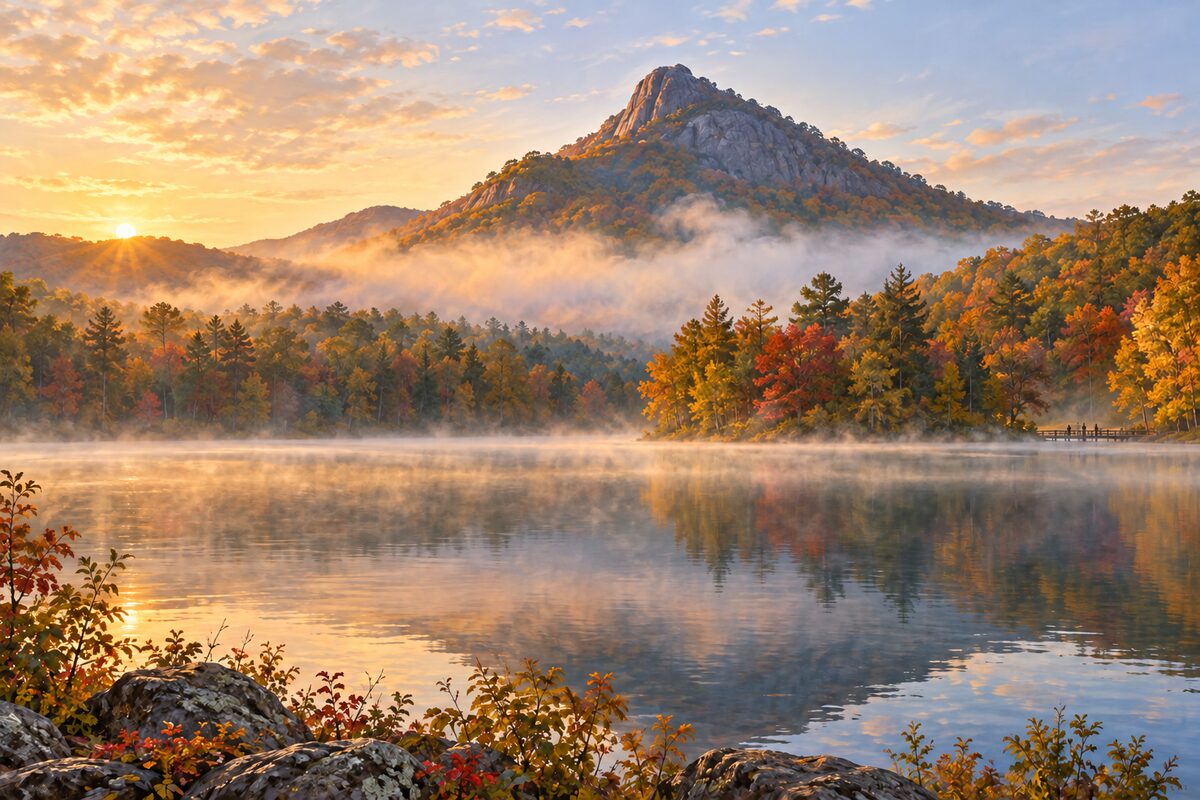
Peaks of Otter
milepost 86; three peaks around Abbott Lake, with a restored farm and an old inn
Walk around Abbott Lake under Sharp Top, visit the restored Johnson Farm, and climb Sharp Top if you have half a day.
Day 4 · <0.1 mi (<0.1 km)
1
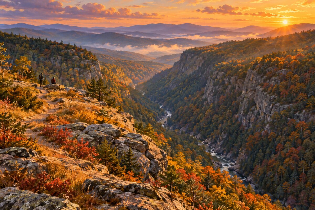
Rocky Knob
milepost 169; ridge-top meadows above Rock Castle Gorge
Walk the open ridge for the view, or, with a full day, take the Rock Castle Gorge loop down into the gorge and back.
Day 5 · <0.1 mi (<0.1 km)

1
Mabry Mill
milepost 176; water-powered gristmill from the early 1900s
Walk around the mill and look into the old blacksmith and wheelwright shop.
Day 6 · <0.1 mi (<0.1 km)
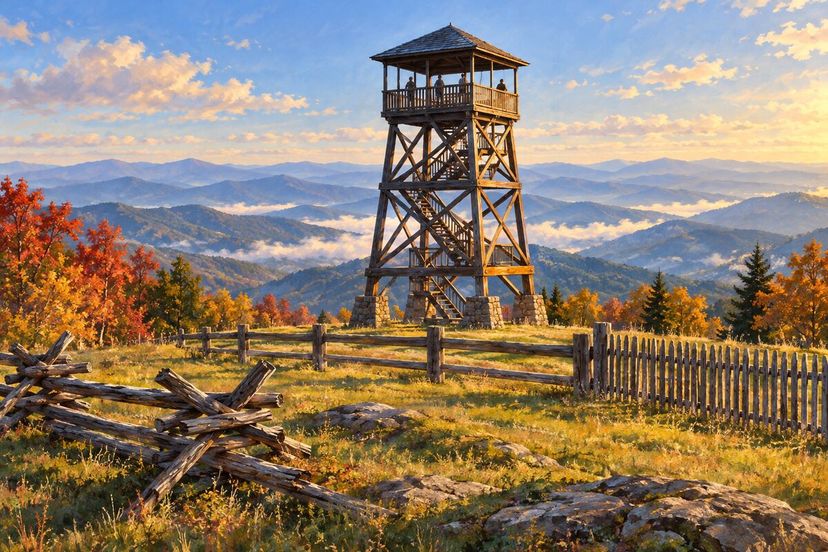
1
Groundhog Mountain
milepost 189; log lookout tower and old styles of rail fence
Climb the log observation tower for the view, and walk past the different styles of historic log fence.
More of the top sights
A few of the 19 places in the full guide. Each one has its own written guide in the app: what to do, what to notice, the history, and why it hits.
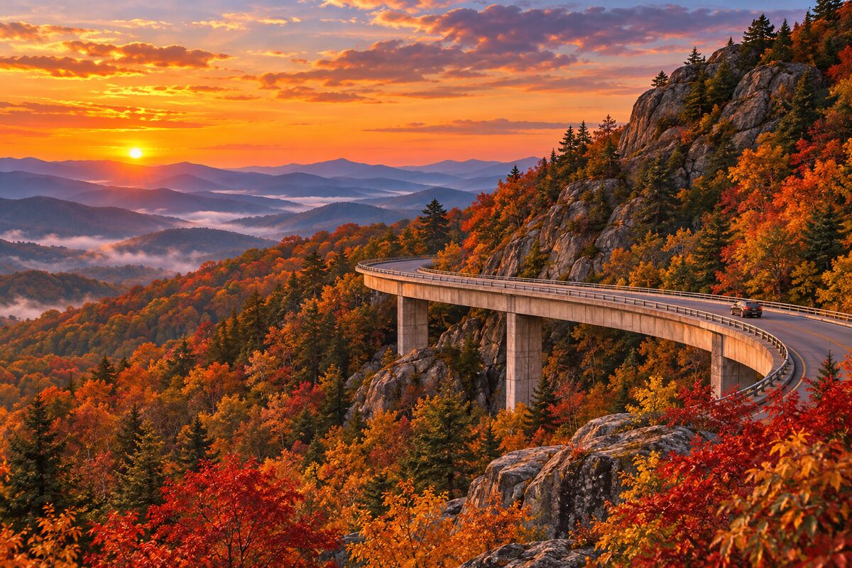
Linn Cove Viaduct
Grandfather Mountain, milepost 304; curved concrete bridge hung on the slope
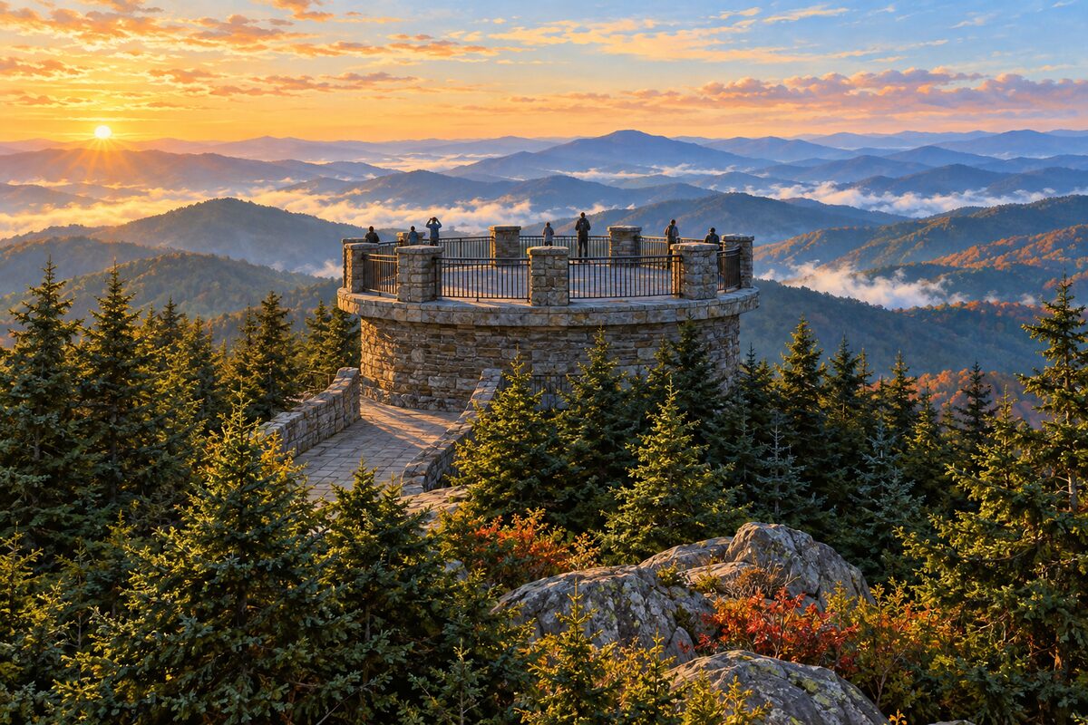
Mount Mitchell State Park
milepost 355 spur; highest peak east of the Mississippi, 6,684 feet
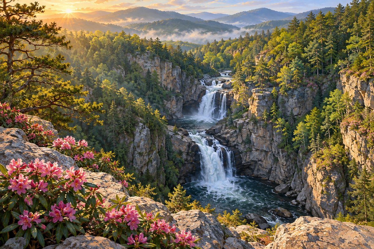
Linville Falls
milepost 316 spur; 150-foot falls dropping into Linville Gorge
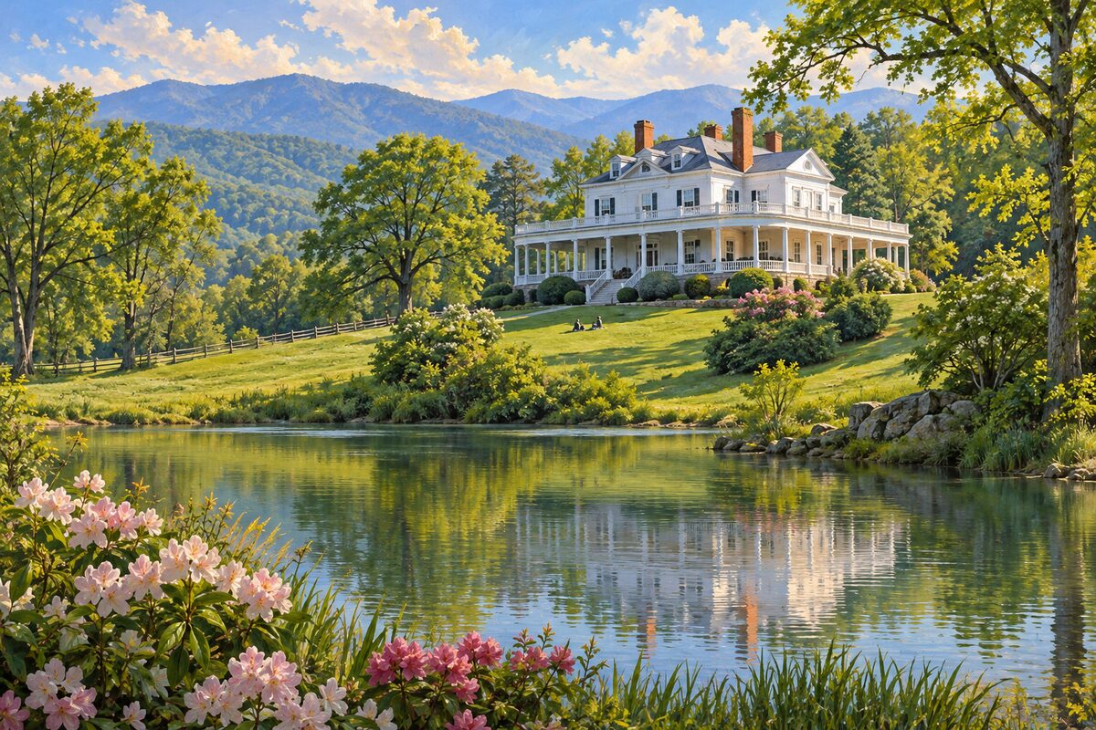
Moses H. Cone Memorial Park
Blowing Rock, milepost 294; Flat Top Manor and 25 miles of carriage trails
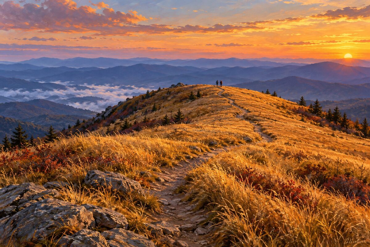
Black Balsam Knob
milepost 420 spur road; open grassy summit on the Art Loeb Trail

Craggy Gardens
milepost 364; heath balds that turn purple with rhododendron in June

Looking Glass Rock
overlook near milepost 417; granite dome rising out of Pisgah National Forest
Areas
Virginia · North Carolina High Country · Black Mountains and Craggy · South of Asheville to Cherokee
Illustrations are drawn for the app. Place descriptions are written by hand and checked against a primary source; facts draw on Wikidata (CC0) and Wikipedia (CC BY-SA). Maps © OpenStreetMap contributors.