Guides · Big Sur
Big Sur
13 places · 4 areas · the first stage free, then $4.99 for the whole city · offline map 5.7 MB
Try it free
The first stage of Big Sur is free
The map and every stage title are open; the first stage opens with its full guide. Unlock the drive for the rest.
The free first stage
3 of the highlights, 2 days, about 4.5 mi (7.3 km), planned by the app's own engine and shown here with their guide. In the app you choose your own.
Day 1 · ~4.5 mi (7.3 km)
1
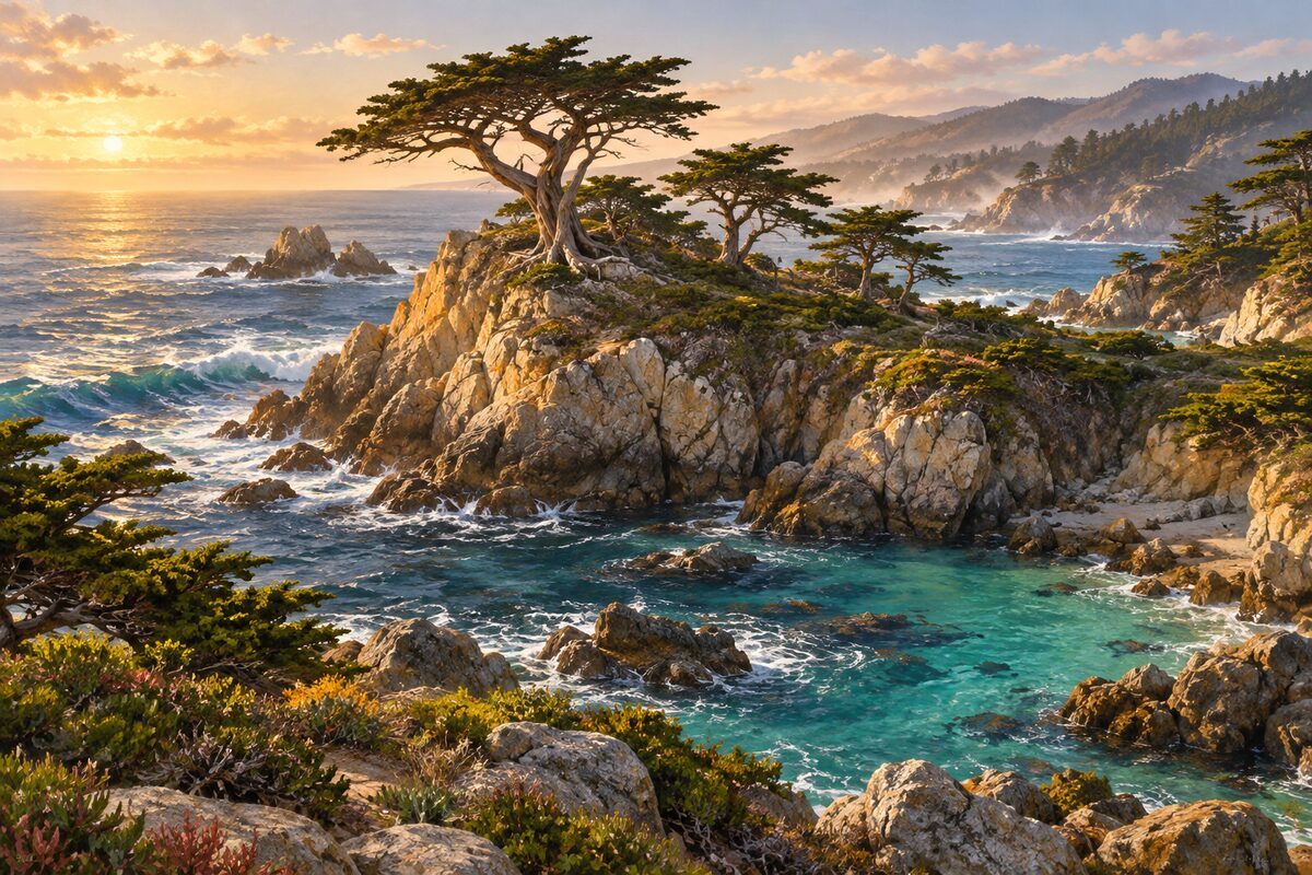
Point Lobos State Natural Reserve
south of Carmel; cypress groves, coves and sea otters
Walk the cliff trails through one of only two native groves of Monterey cypress, and stop at the Whalers Cabin museum by the cove.
2
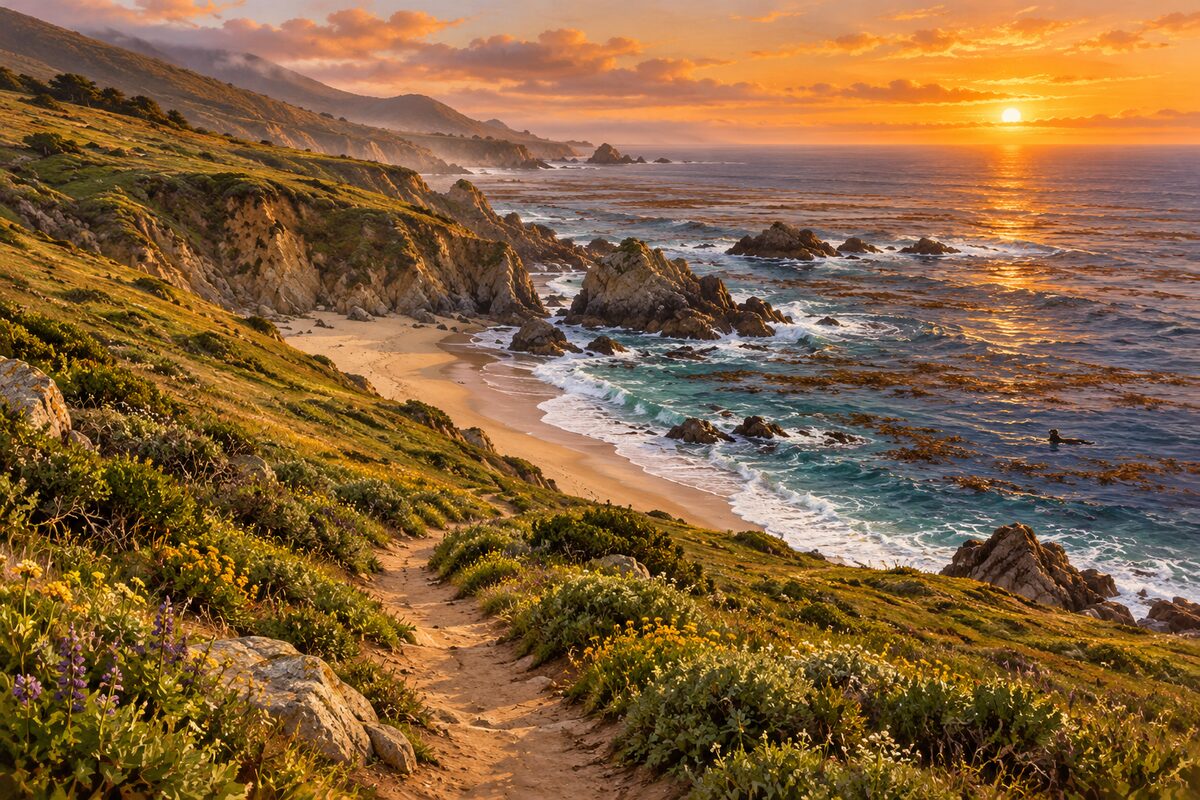
Garrapata State Park
north Big Sur coast; open bluffs and beach, sea otters and migrating whales offshore
Pull into one of the numbered turnouts and walk out over the bluffs at Soberanes Point; watch the water for sea otters, seals and, in season, gray whales.
Day 2 · <0.1 mi (<0.1 km)
1
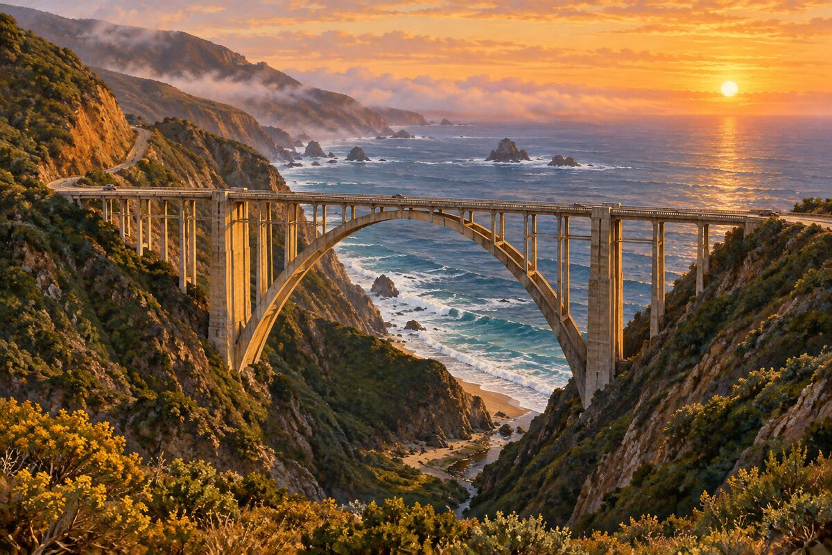
Bixby Creek Bridge
Highway 1; concrete arch bridge of 1932, 260 ft above the creek
Slow down and take in the arch as you drive across; the bridge is best seen, not stopped at.
More of the top sights
A few of the 13 places in the full guide. Each one has its own written guide in the app: what to do, what to notice, the history, and why it hits.
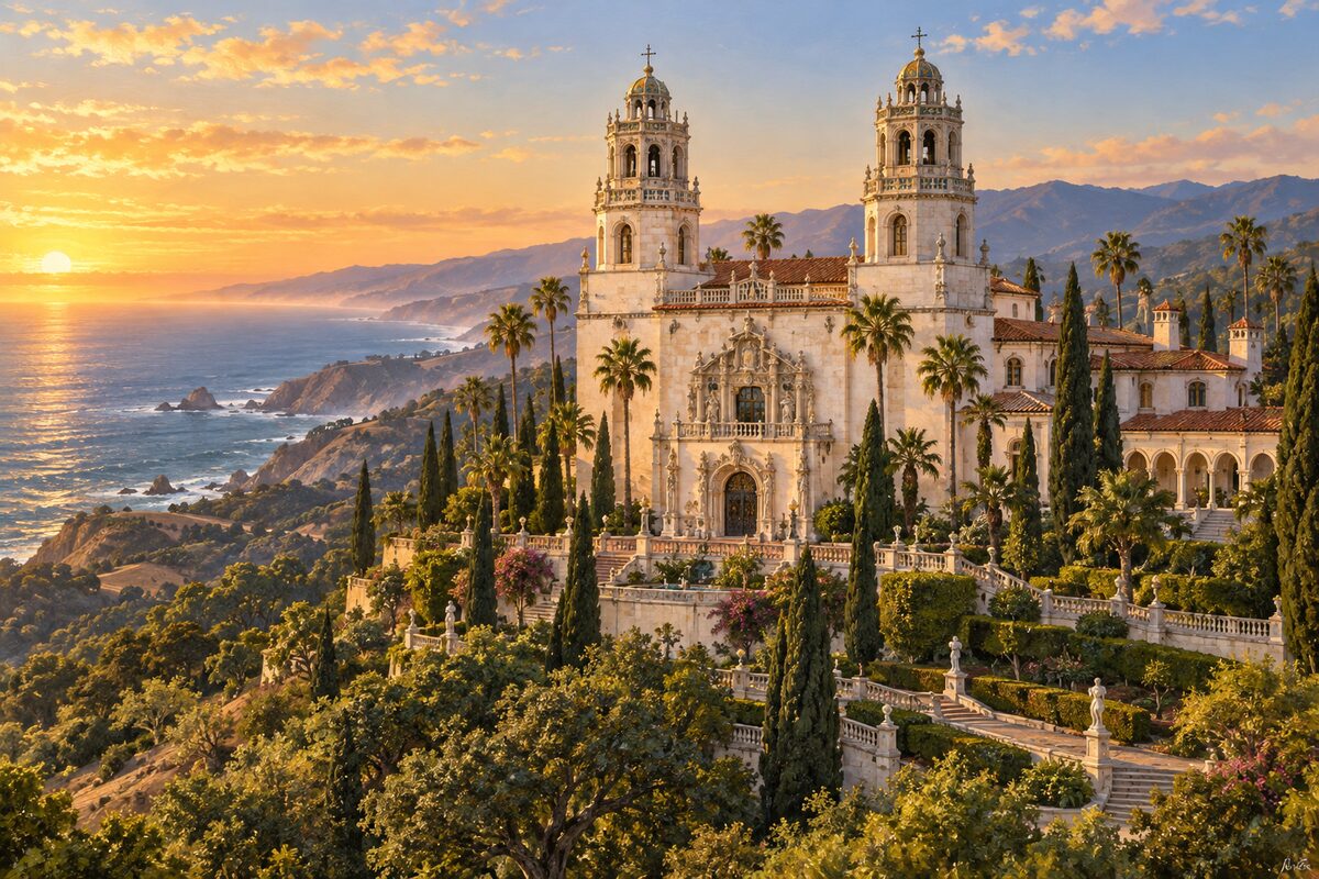
Hearst Castle
San Simeon; Julia Morgan's hilltop estate for William Randolph Hearst, by reserved tour
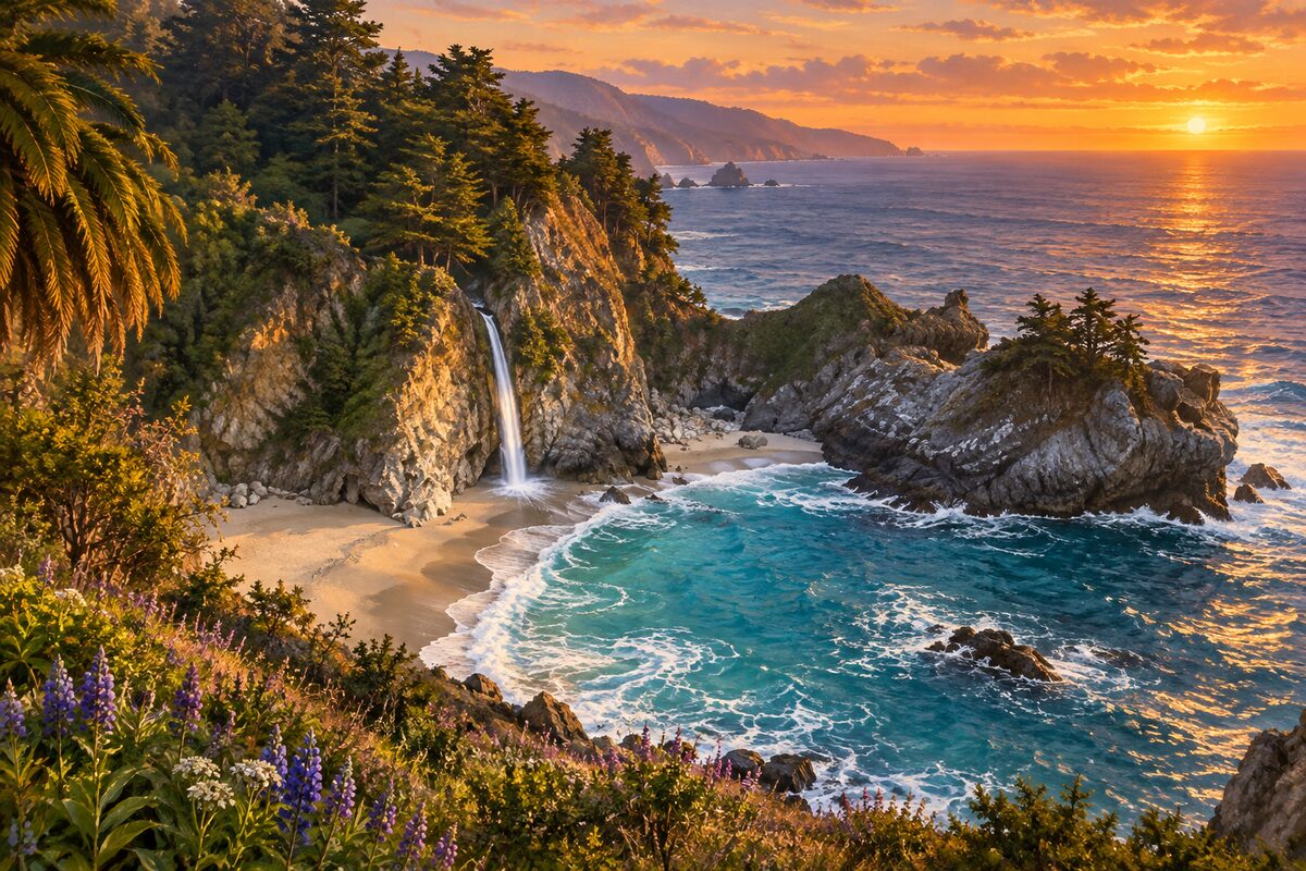
Julia Pfeiffer Burns State Park
Highway 1; McWay Falls dropping onto the beach, seen from the bluff
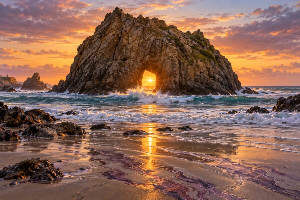
Pfeiffer Beach
end of Sycamore Canyon Road; Keyhole Rock arch on one of the few beaches you can reach
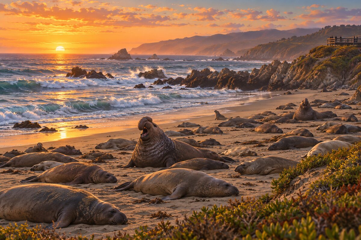
Piedras Blancas Elephant Seal Vista Point
north of San Simeon; boardwalk above an elephant seal rookery
Areas
Carmel Highlands and North Coast · Point Sur and Big Sur Valley · South Coast · San Simeon
Illustrations are drawn for the app. Place descriptions are written by hand and checked against a primary source; facts draw on Wikidata (CC0) and Wikipedia (CC BY-SA). Maps © OpenStreetMap contributors.