Guides · Beartooth Highway
Beartooth Highway
11 places · 3 areas · the first stage free, then $4.99 for the whole city · offline map 2.6 MB
Try it free
The first stage of Beartooth Highway is free
The map and every stage title are open; the first stage opens with its full guide. Unlock the drive for the rest.
The free first stage
3 of the highlights, 2 days, about 5.3 mi (8.5 km), planned by the app's own engine and shown here with their guide. In the app you choose your own.
Day 1 · ~5.3 mi (8.5 km)
1
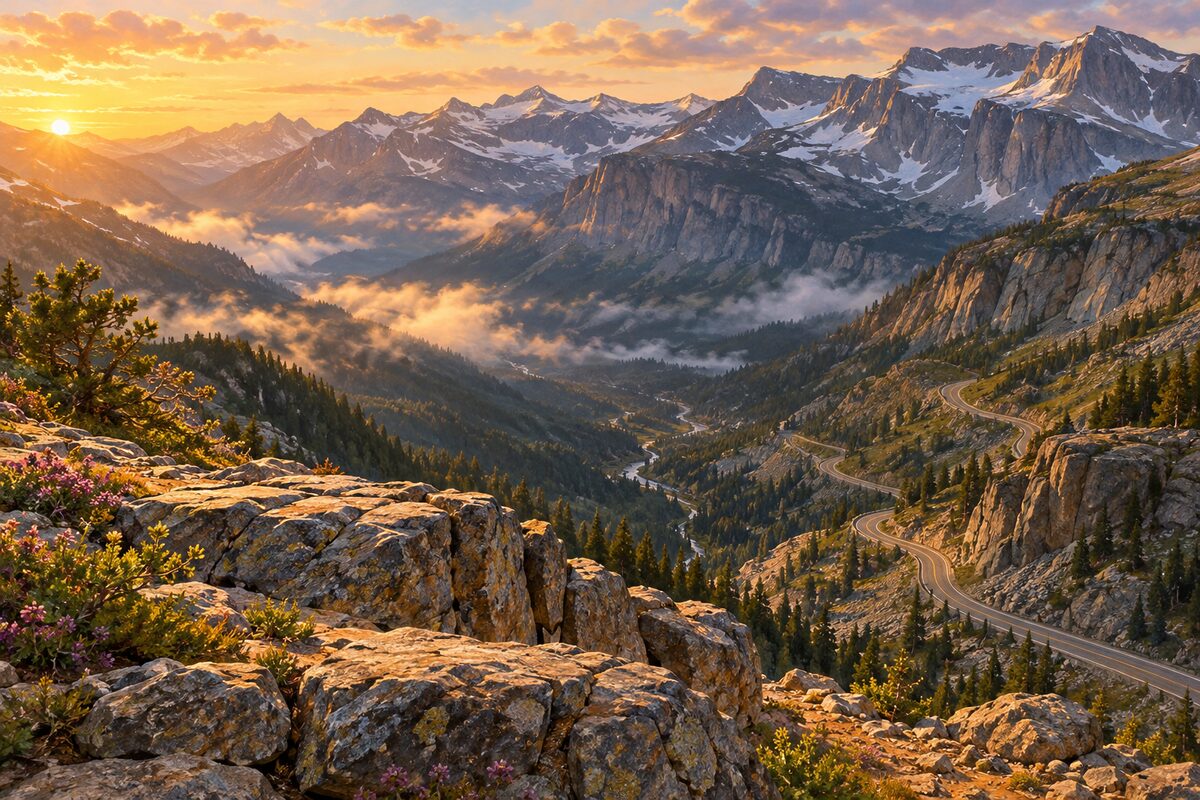
Rock Creek Vista Point
US 212, 18.9 miles south of Red Lodge; paved path to a platform over Rock Creek Valley at about 9,190 feet
Walk the short paved path to the viewing platform and look down into Rock Creek Valley and across to the Hellroaring Plateau, reading the interpretive panels on the way.
2
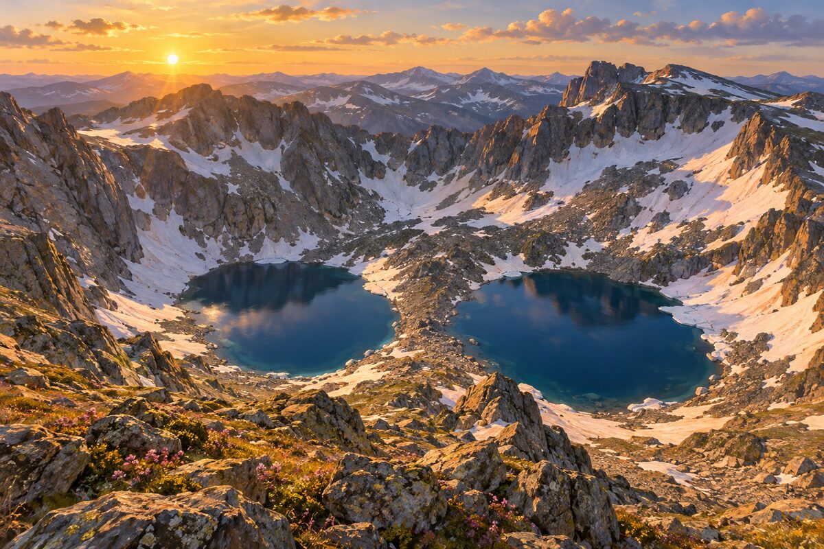
Twin Lakes
just inside Wyoming; unmarked pullout looking down on two lakes below the Twin Lakes Headwall
Pull into the turnout on the west side of the road and look down into the basin at the two lakes under the headwall.
Day 2 · <0.1 mi (<0.1 km)
1
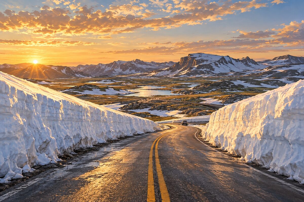
Beartooth Pass
Wyoming; the highway's summit at 10,947 feet, with the West Summit overlook and open alpine tundra
Stop at the summit overlook and, weather permitting, step out among the boulders onto the tundra for the view of the road zigzagging down into Wyoming. Watch the rock piles just past the pass for mountain goats.
More of the top sights
A few of the 11 places in the full guide. Each one has its own written guide in the app: what to do, what to notice, the history, and why it hits.
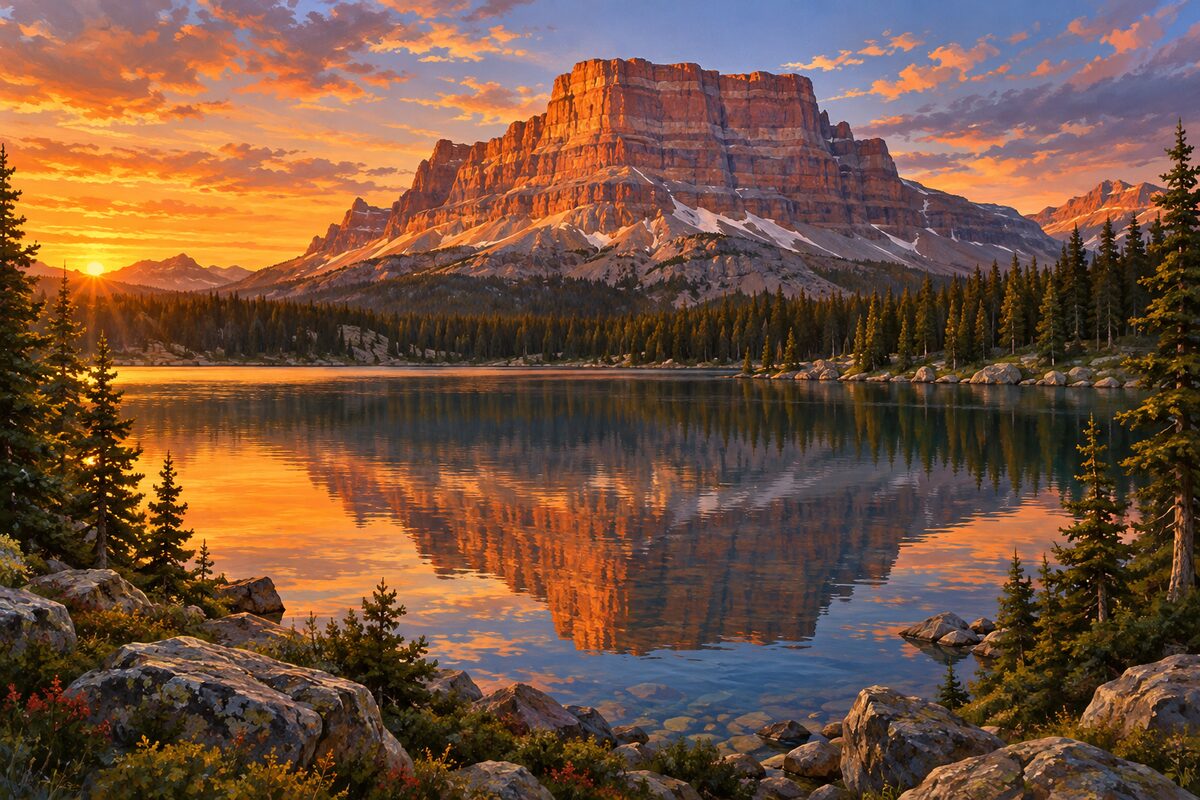
Beartooth Lake
Shoshone National Forest, Wyoming; 110-acre lake below banded Beartooth Butte
Areas
Montana Climb · Beartooth Plateau · Cooke City Side
Illustrations are drawn for the app. Place descriptions are written by hand and checked against a primary source; facts draw on Wikidata (CC0) and Wikipedia (CC BY-SA). Maps © OpenStreetMap contributors.