Guides · Austin
Austin
124 places · 14 areas · a free route, then $4.99 for the whole city · offline map 10.7 MB
The free route
Free in the app, permanently, before you pay anything. 7 stops, 1 day, about 3.1 km, planned by the app's own engine.
Day 1 · ~3.1 km
1
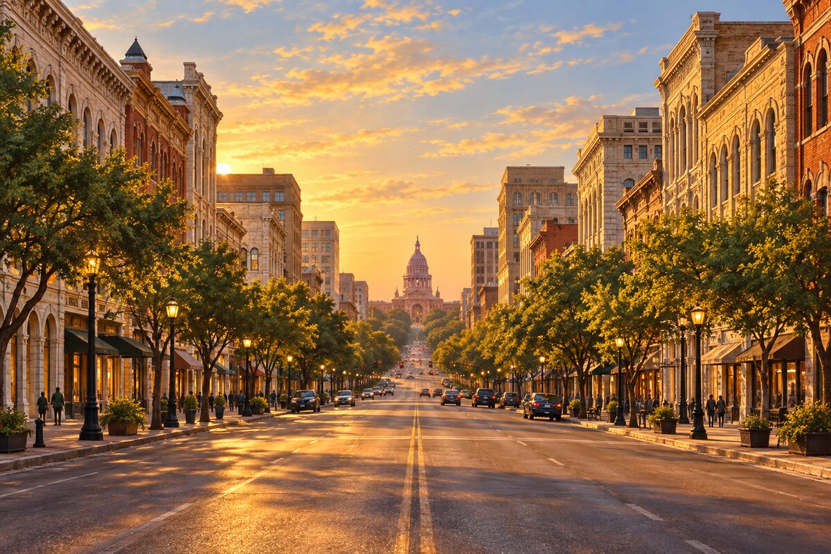
Congress Avenue
Austin's main street, running straight from the river to the Capitol dome
Start at the river end and walk north, looking up the median line at the Capitol dome closing the view. Duck under the old storefront awnings on the 100 to 600 blocks to read the 19th-century facades, and finish at the Capitol gates.
2
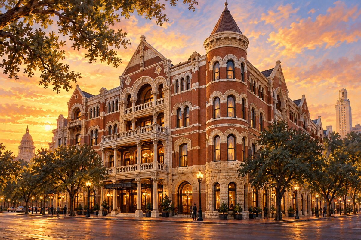
The Driskill
A cattle baron's 1886 hotel on Sixth Street, with a stained-glass lobby dome and a well-dressed bar
Walk in from Brazos Street, stand on the marble floor under the stained-glass dome, and find the portrait of Jesse Driskill. Outside, look up at the three limestone busts of Driskill and his sons on the facade.
3
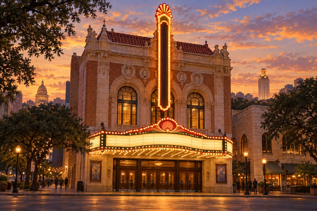
Paramount Theatre
A 1915 vaudeville house on Congress, under its tall blade sign, closed for a full restoration
Stand across Congress and look at the tall vertical Paramount sign and marquee over the sidewalk, then turn north: the Capitol dome sits a few blocks up the same line. The smaller State Theatre next door carries on programming.
4
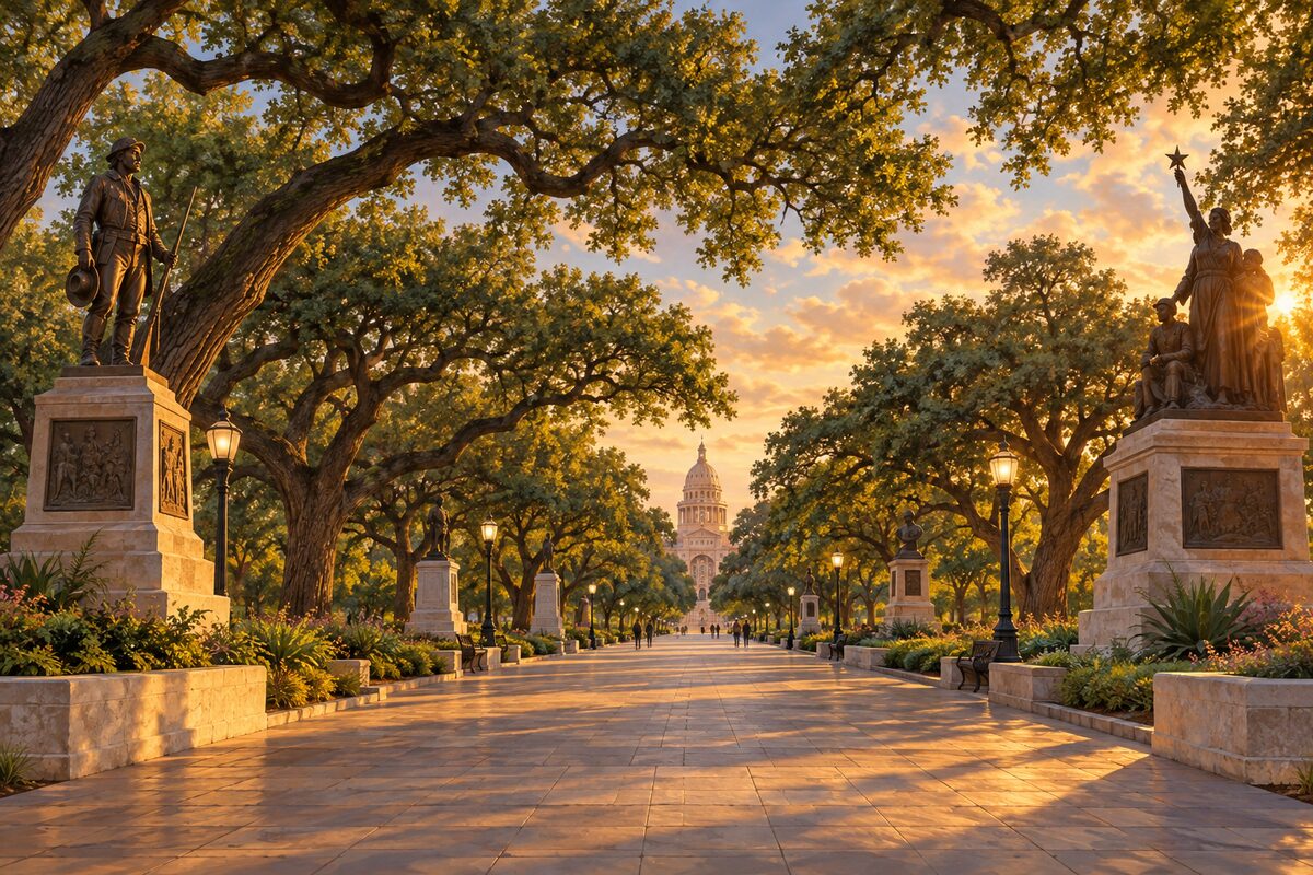
Capitol Great Walk
The diamond-paved promenade from Congress Avenue to the Capitol's south door, flanked by its oldest monuments
Enter at the 11th Street gate and walk the black-and-white diamond pavement straight at the south facade, letting the dome grow with every step. Stop at the four bronze-and-granite monuments on either side and read their dates; then turn at the top step for the view down Congress Avenue.
5
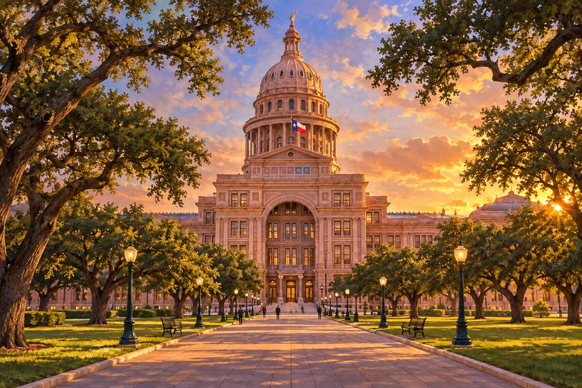
Texas State Capitol
An 1888 capitol of sunset-red granite, taller than the one in Washington, open to walk in and look up
Join a free guided tour from the South Foyer, then stand at the centre of the rotunda floor and look straight up to the star in the dome. Finish in the underground extension to the north and find its open-air rotunda, where the dome rises above you from below ground level.
6
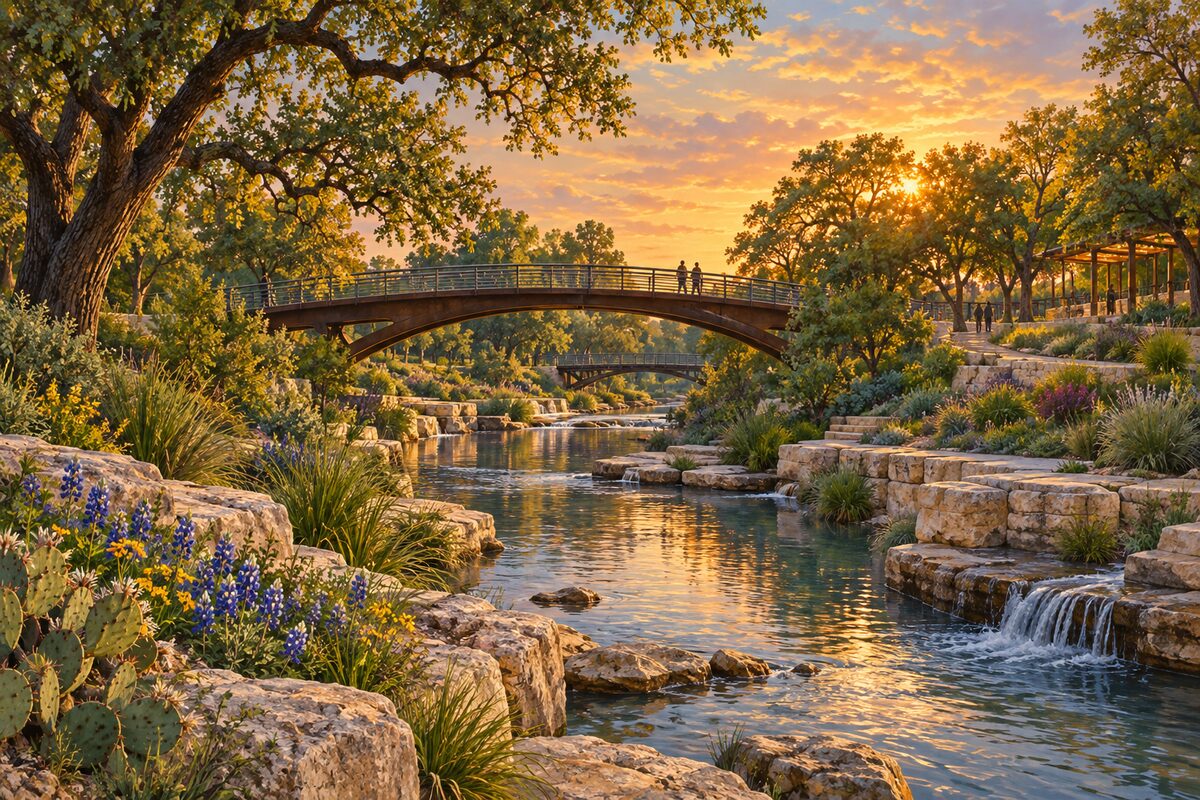
Waterloo Park
An 11-acre creekside park of Hill Country gardens, lawns and play areas at the head of the Waterloo Greenway
Enter from the Red River side, walk the paths through the Hill Country plantings down to Waller Creek, and cross the creek to the lawn below the Moody Amphitheater canopy.
7
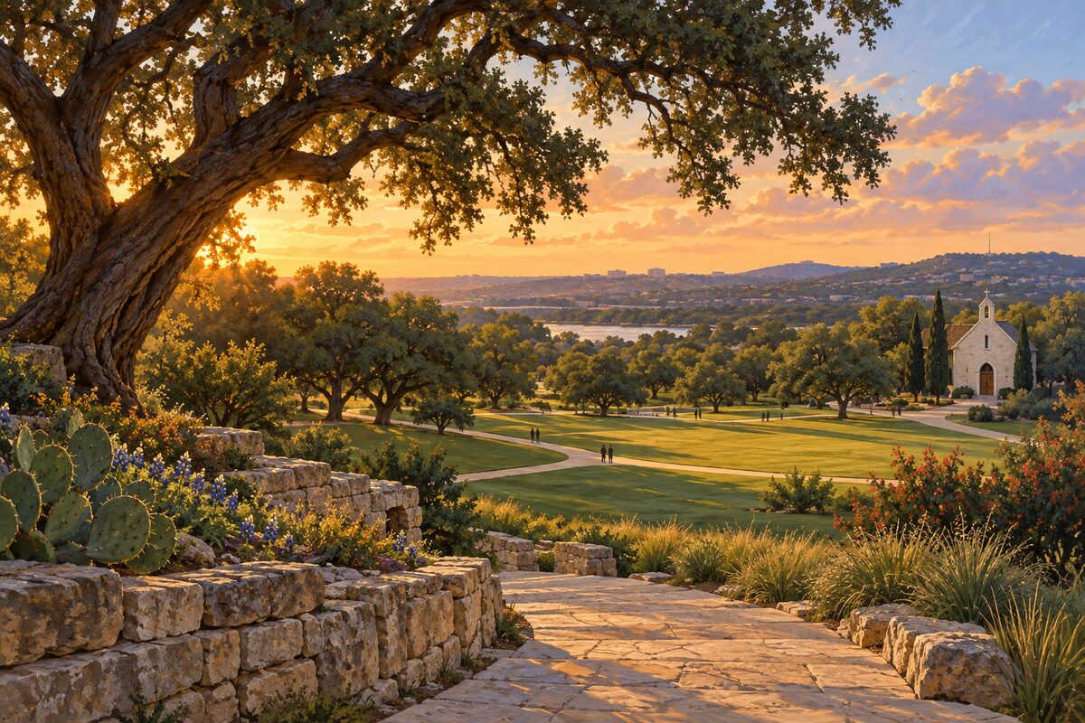
Ellsworth Kelly's Austin
A small stone building of coloured glass designed by Ellsworth Kelly, where light moves across the floor all day
Go in when the sun is high and sit on the bench: coloured patches from the windows move across the white walls and floor. Walk the 14 black-and-white marble panels on the walls, then stand under the redwood totem at the end.
More of the top sights
A few of the 124 places in the full guide. Each one has its own written guide in the app: what to do, what to notice, the history, and why it hits.
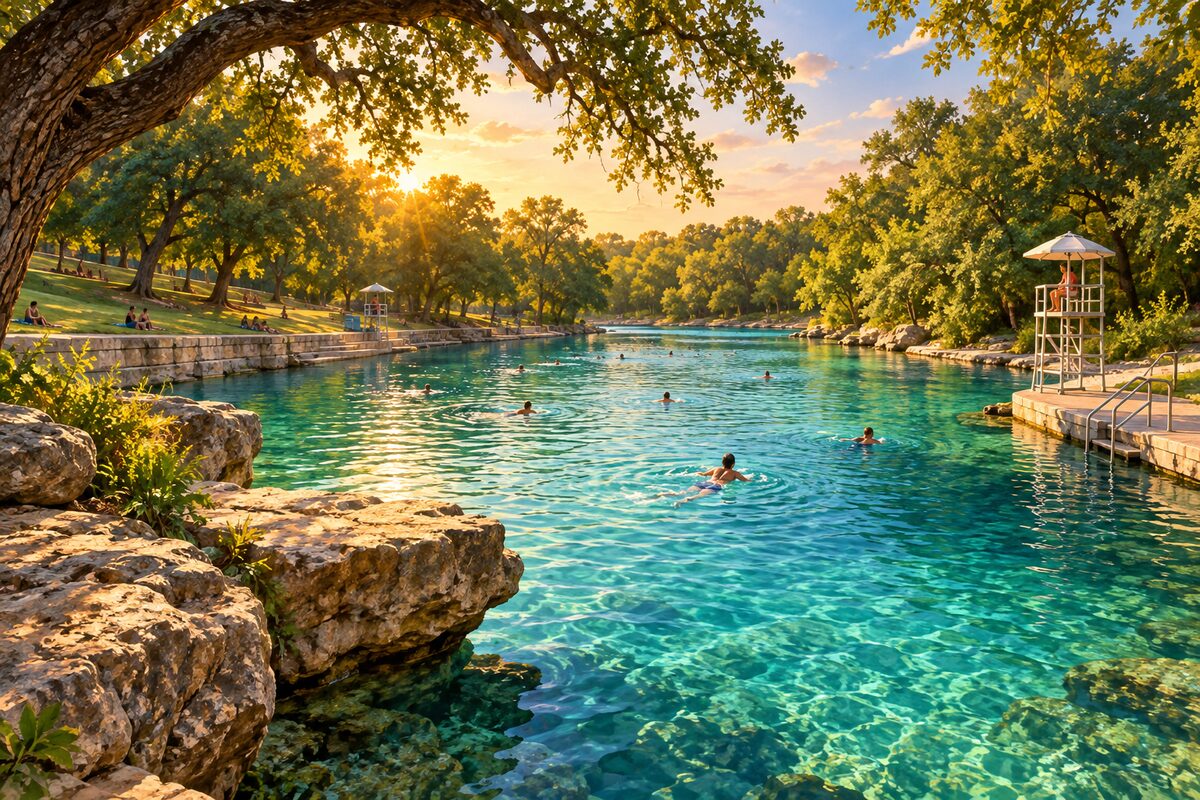
Barton Springs Pool
A dammed stretch of Barton Creek fed by cold aquifer springs, where Austin swims the whole year round
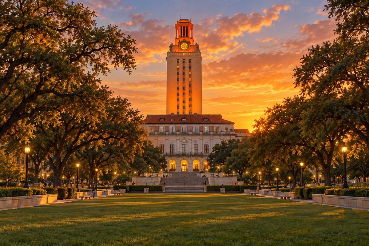
UT Tower
The 307-foot campus tower, lit orange after wins and marked by a memorial to August 1, 1966
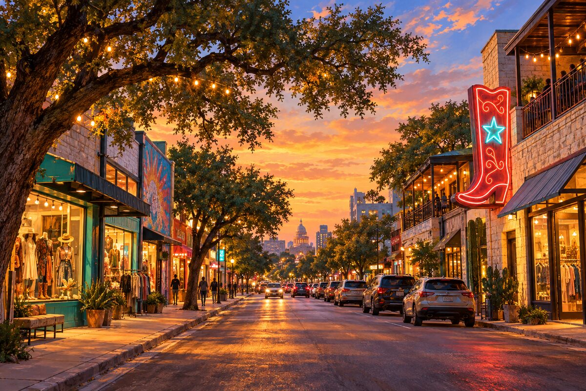
South Congress Avenue
The old road to San Antonio, now a mile of neon, boot shops and taco counters facing the Capitol
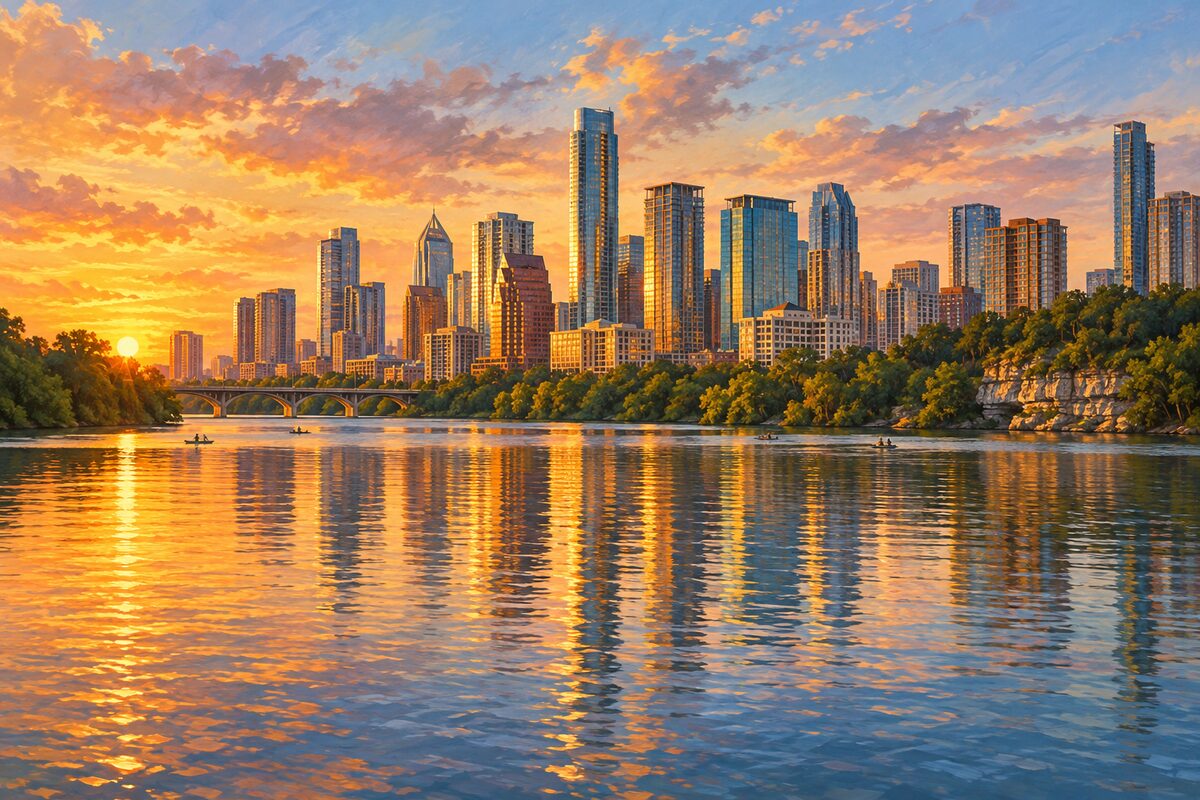
Lady Bird Lake
The dammed stretch of the Colorado River through downtown, ringed by trails, parks and paddlers
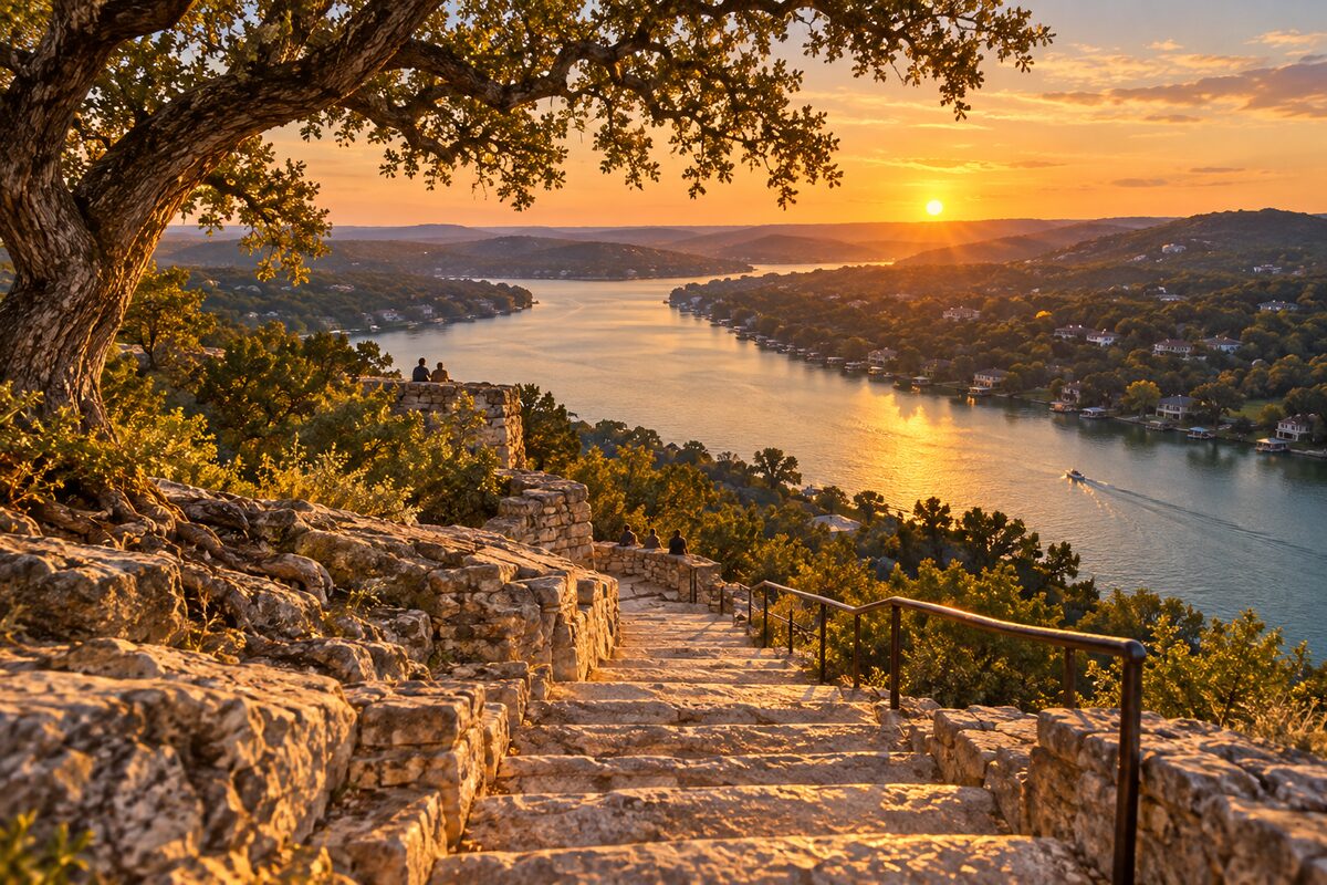
Mount Bonnell
A limestone bluff over Lake Austin, reached by a short, steep stair, with the city's classic sunset view
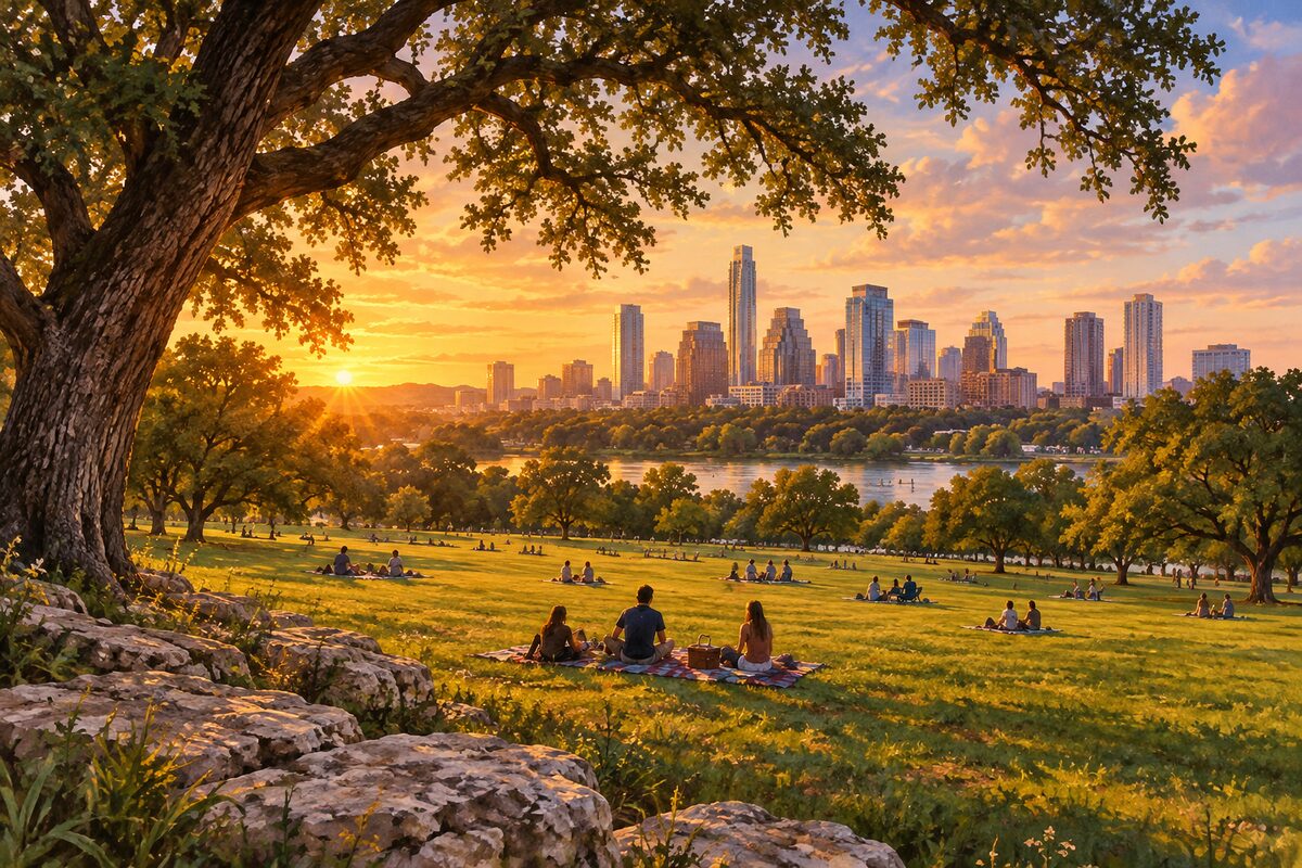
Zilker Metropolitan Park
Austin's 350-acre front lawn on the south bank, home to Barton Springs, ACL Fest and the holiday tree
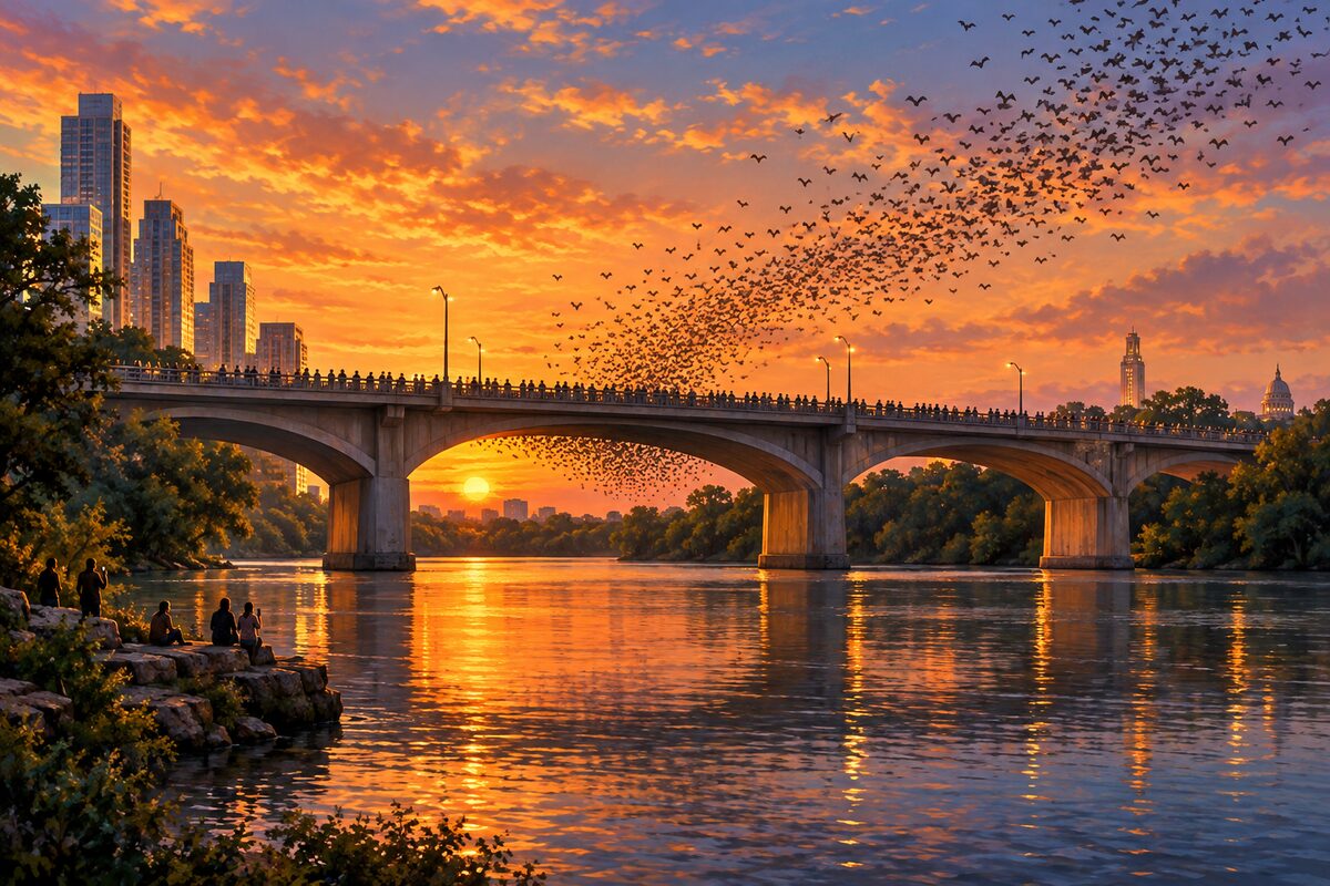
Ann W. Richards Congress Avenue Bridge
The downtown bridge where hundreds of thousands of free-tailed bats pour out over Lady Bird Lake at dusk
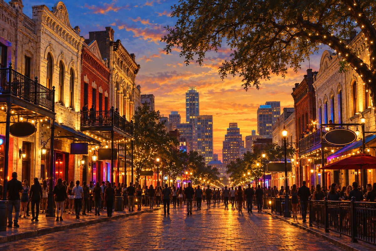
Historic Sixth Street
Nine blocks of 1880s Victorian storefronts that turn into Austin's loudest bar street after dark
Areas
Downtown and Congress Avenue · Texas Capitol Complex · Sixth Street and Red River · Second Street and Seaholm · Rainey Street and Waterloo Greenway · Lady Bird Lake · South Congress · Zilker and Barton Springs · South Lamar and Bouldin · University of Texas · Hyde Park · Clarksville and West End · East Austin · Mount Bonnell and Lake Austin
Illustrations are drawn for the app. Place descriptions are written by hand and checked against a primary source; facts draw on Wikidata (CC0) and Wikipedia (CC BY-SA). Maps © OpenStreetMap contributors.