Guides · Annapolis
Annapolis
43 places · 9 areas · a free route, then $4.99 for the whole city · offline map 2.5 MB
The free route
Free in the app, permanently, before you pay anything. 8 stops, 1 day, about 1.5 km, planned by the app's own engine.
Day 1 · ~1.5 km
1
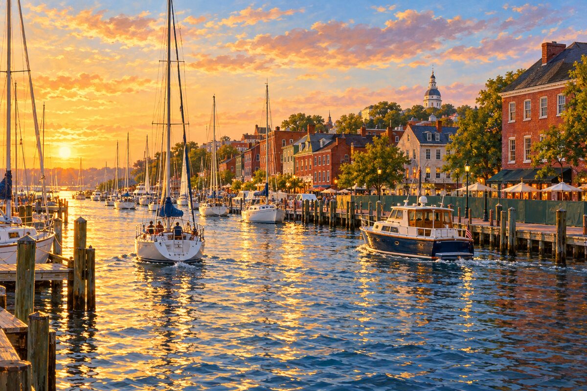
City Dock
The harbor basin and Ego Alley at the foot of Main Street, under flood-protection construction until 2027
Walk down Main Street to the head of the dock, watch the boats idle up the narrow water of Ego Alley, and look along the harbor toward the Naval Academy. Then follow the signed pedestrian route around the works to Market House and the Kunta Kinte-Alex Haley Memorial.
2
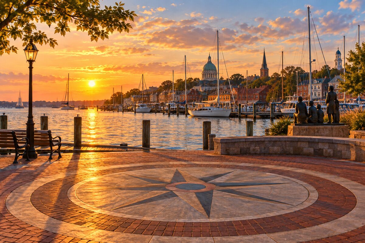
Kunta Kinte-Alex Haley Memorial
Memorial at the head of City Dock to Kunta Kinte, landed here in 1767, with Ed Dwight's Haley statue
Find the bronze group of Alex Haley reading to three children, his hand pointing toward the bay, then follow the ten bronze plaques of the Story Wall along the water and stand on the Compass Rose. Read the 1981 plaque that first marked his arrival.
3
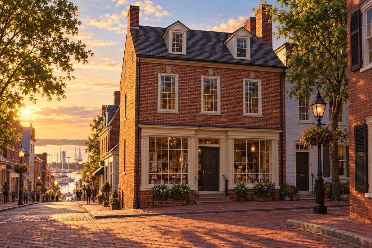
Museum of Historic Annapolis
Historic Annapolis's museum in a 1791 brick store at the foot of Main Street, built after the 1790 fire
Go through the three floors of exhibits on the city's history, including "The Power of One: 250 Years of Annapolis Changemakers," on people who changed Annapolis, which runs through December 31, 2026. Start here to get your bearings before walking the rest of the old town.
4
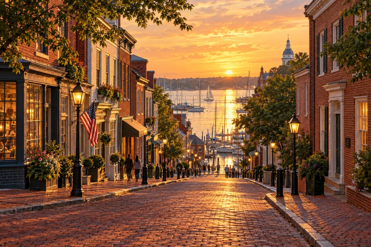
Main Street
The brick shopping street running downhill from Church Circle to City Dock, lined with 18th and 19th-century storefronts
Walk down from Church Circle toward the water, with the harbor opening up ahead, and read the fronts as you go, a mix of Georgian, Federal, Greek Revival and Italianate shops. Stop at the Museum of Historic Annapolis near the bottom, then go back up in the evening when the shop windows are lit.
5
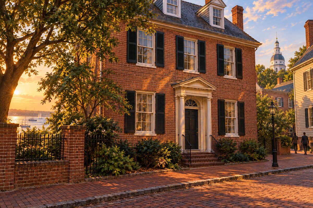
Maynard-Burgess House
House owned by free Black families from 1847 to 1990, restored by the city and now used as offices
Stop on the sidewalk at 163 Duke of Gloucester Street and read the marker telling the story of John Maynard and the Burgess family, then look at the house Maynard enlarged over the years for his relatives and boarders.
6
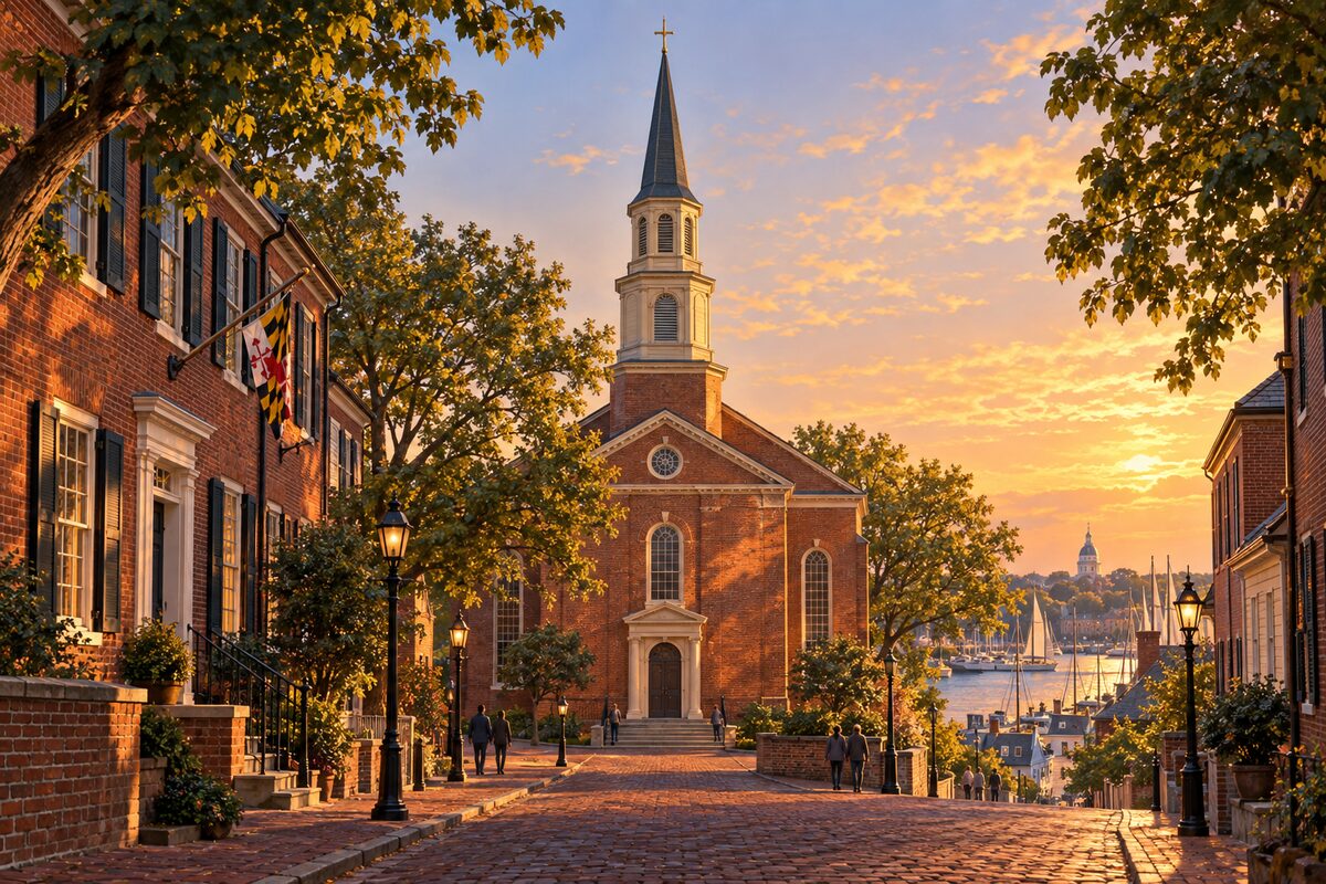
St. Mary's Church
Redemptorist Catholic church dedicated in 1860 on former Carroll land, behind which the Carroll House stands
Look at the church from Duke of Gloucester Street, then step inside, if the church is open, for the stained glass and the shrine to Our Lady of Perpetual Help. Read the marker outside on the Carrolls and on "Anchors Aweigh."
7
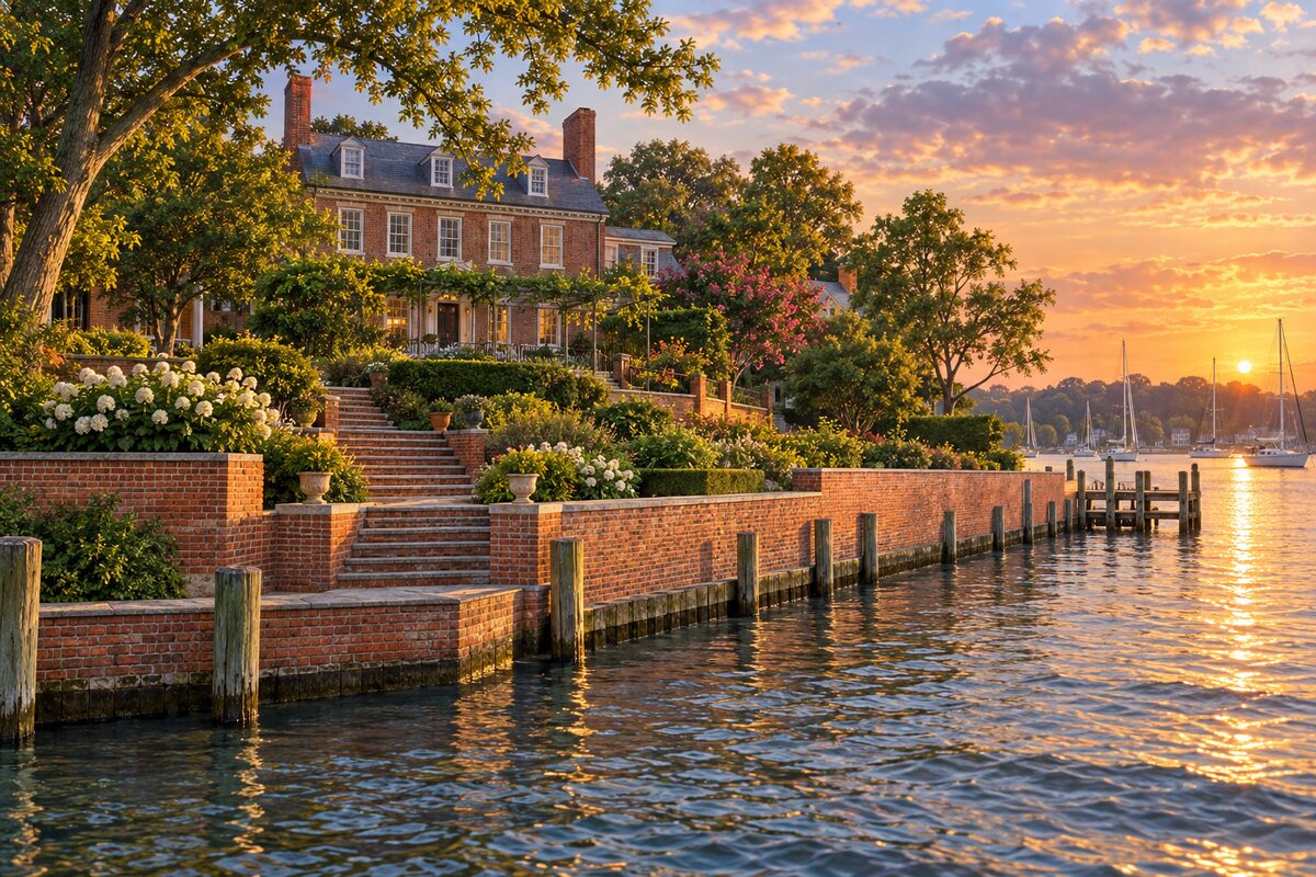
Charles Carroll House
Birthplace of Charles Carroll of Carrollton, the only Catholic signer, open some summer and fall weekend afternoons
Take the public tour of the house behind St. Mary's Church, where three generations of Carrolls lived, then look out over the terraced garden toward Spa Creek, laid out around 1770 behind a long seawall.
8
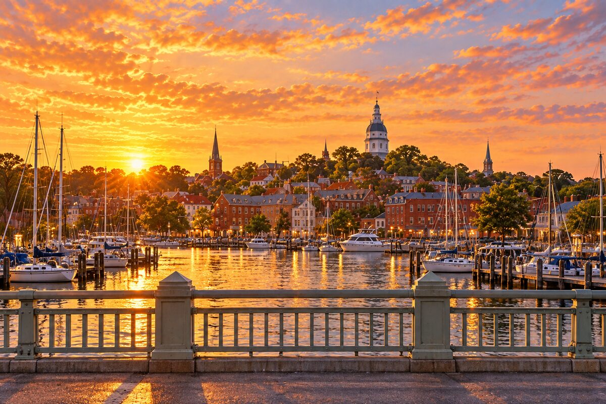
Spa Creek Bridge
1947 drawbridge between downtown and Eastport, with a view back over the harbor to the town's domes and spires
Walk across from Compromise Street to Sixth Street in Eastport and stop in the middle for the view back over the water to the domes, spires and red-brick roofs of the old town. If you hear a horn, wait and watch the span lift to let a sailboat through.
More of the top sights
A few of the 43 places in the full guide. Each one has its own written guide in the app: what to do, what to notice, the history, and why it hits.

Naval Academy Chapel
Ernest Flagg's domed 1908 chapel at the center of the Yard, with John Paul Jones's sarcophagus in the crypt
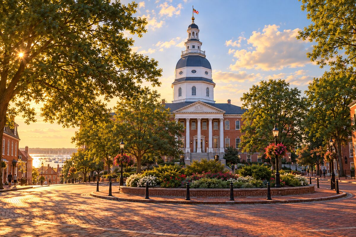
Maryland State House
The oldest state capitol still in legislative use, where Washington resigned his command in December 1783
Areas
State Circle · Church Circle and Main Street · City Dock · Maryland Avenue and Prince George Street · Naval Academy · St Johns College · Duke of Gloucester Street · West Street · Eastport
Illustrations are drawn for the app. Place descriptions are written by hand and checked against a primary source; facts draw on Wikidata (CC0) and Wikipedia (CC BY-SA). Maps © OpenStreetMap contributors.