Guides · Albuquerque
Albuquerque
28 places · 7 areas · any 7 stops free, then $4.99 for the whole city · offline map 15.2 MB
Try it free
Pick any 7 of Albuquerque's 28 places, free
- Browse all 28Every place, where it is and the basics are open to everyone.
- Pick your 7Add any 7 stops to your route. Each opens with its full guide and stays yours.
- Plan and walkBuild day-by-day walks from your picks, as many as you like, offline.
Drives: the first stage of every road trip is free.
An example half day
8 of the highlights, 1 day, about 2.1 mi (3.3 km), planned by the app's own engine and shown here with their guide. In the app you choose your own.
Day 1 · ~2.1 mi (3.3 km)
1
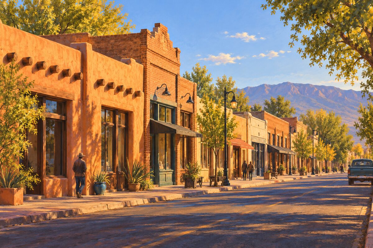
Barelas-South Fourth Street Historic District
South of downtown; Barelas main street that carried Route 66 from 1926 to 1937
Walk South Fourth Street through Barelas and look at the old car-era storefronts.
2
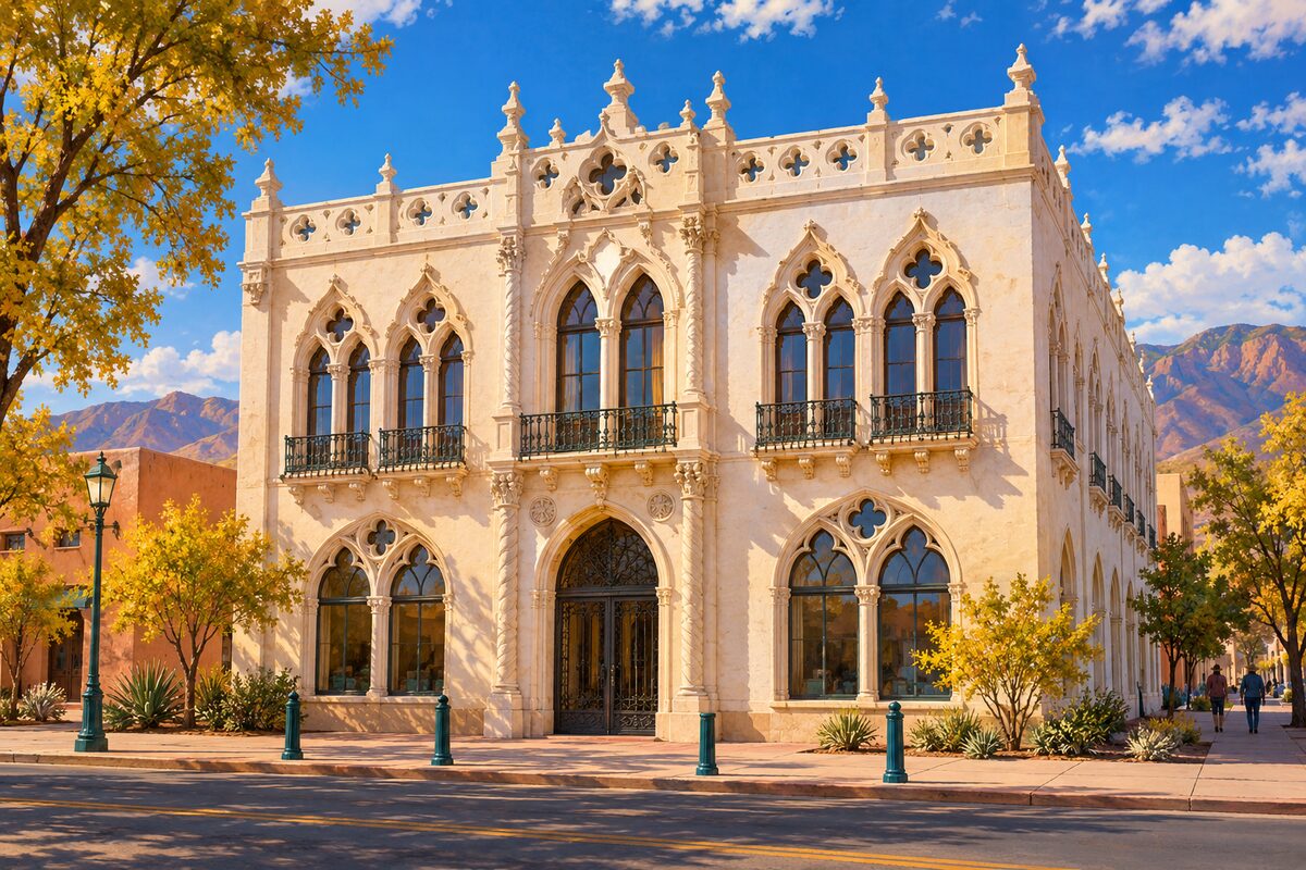
Occidental Life Building
3rd Street SW; white terra cotta office building of 1917 modeled on the Doge's Palace in Venice
Stand across the street to see the pointed Venetian arches, quatrefoil windows and the white terra cotta in full.
3
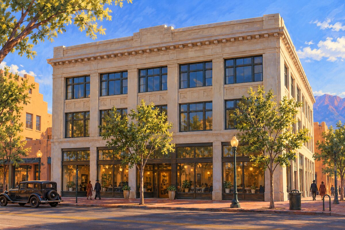
Rosenwald Building
320 Central Avenue SW; 1910 department store by Henry Trost, the city's first reinforced concrete building
Stop on Central for the three-story front and its tall recessed entrance.
4
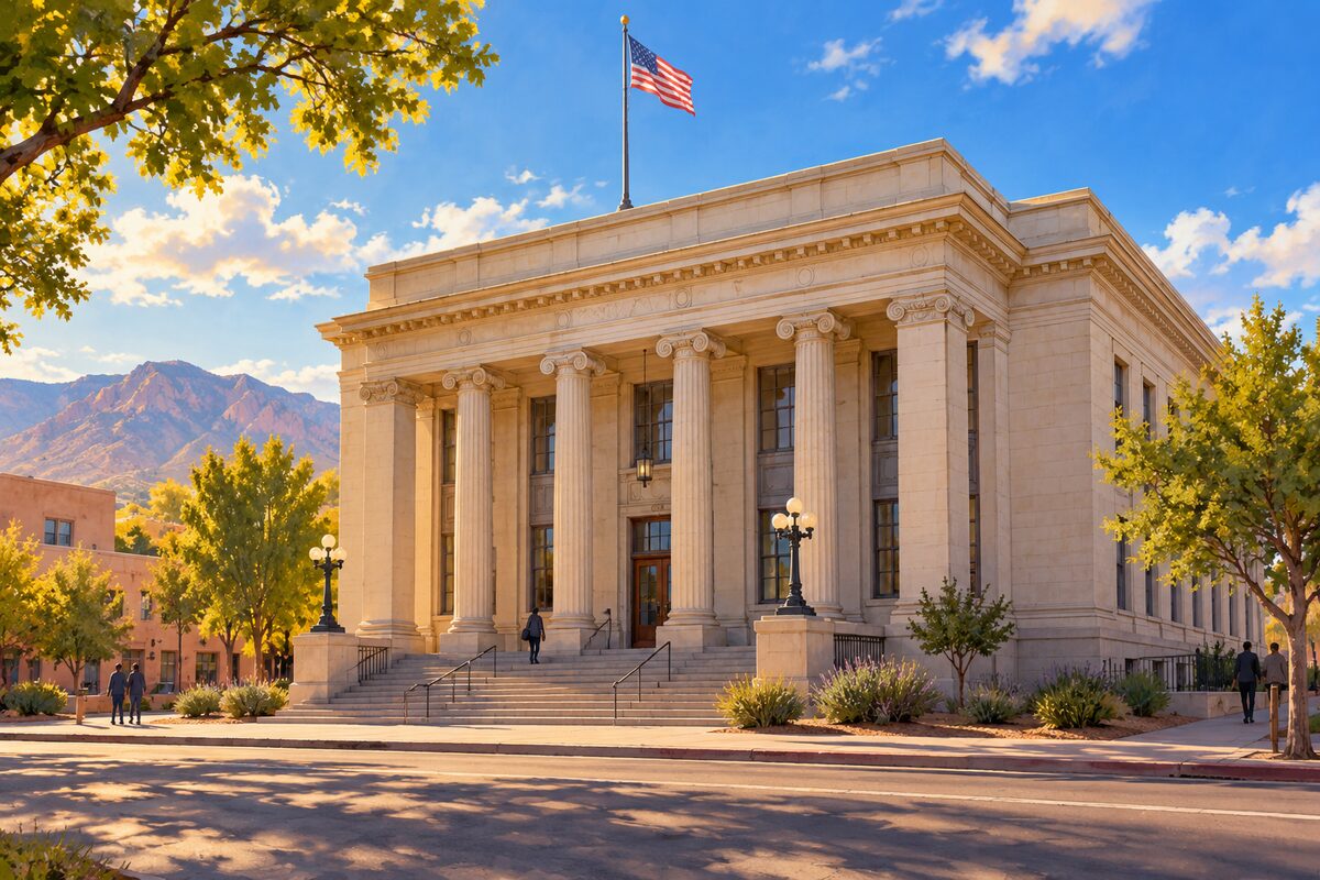
Old Post Office
Fourth and Gold Streets; 1908 Spanish Colonial Revival post office, the city's oldest federal building
See the front from the corner of Fourth and Gold.
5
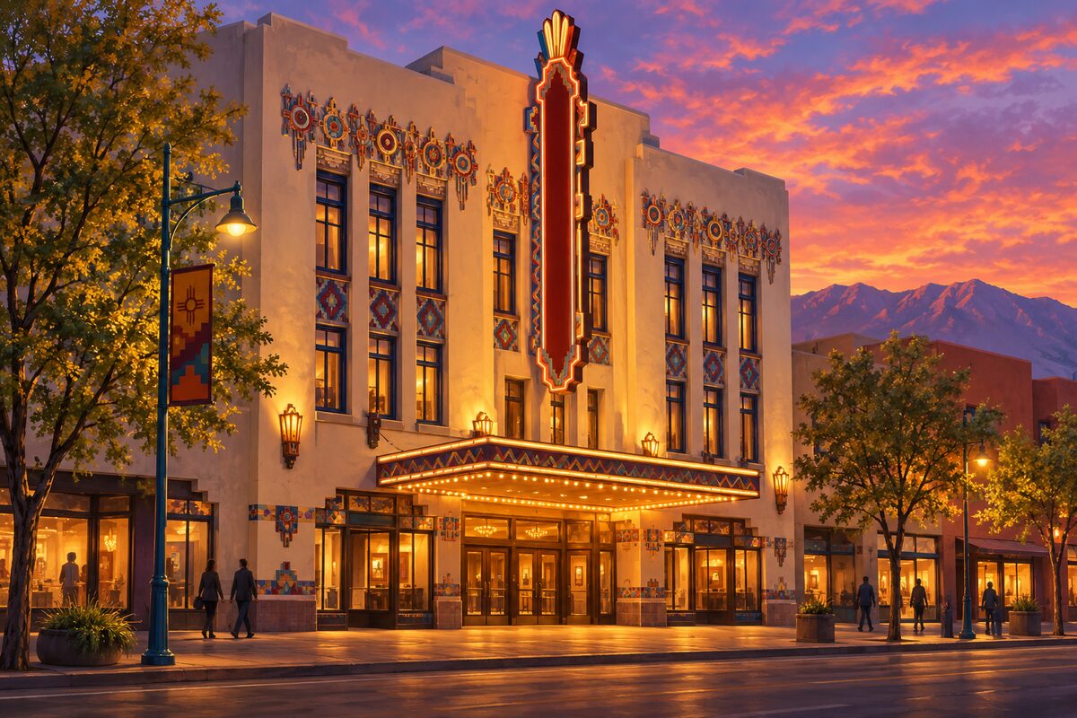
KiMo Theatre
421 Central Avenue; Pueblo Deco movie palace of 1927, named by a former governor of Isleta Pueblo
Take in the Pueblo Deco front on Central Avenue, best at night when it is lit; check the program if you want to see a show inside.
6
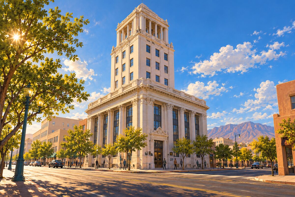
First National Bank Building
Central Avenue; nine-story bank of 1923, the tallest building in New Mexico until 1954
Look up at the tall arched windows of the base and the ornate crown from across Central Avenue.
7
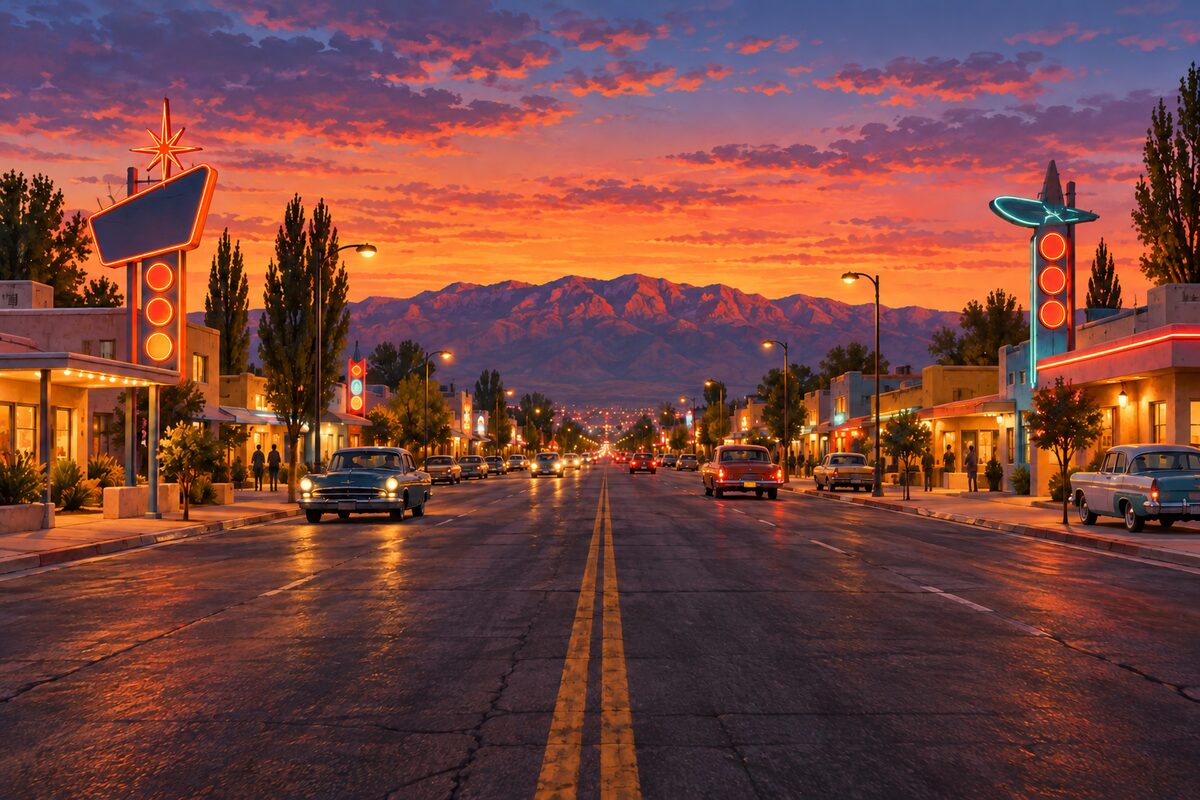
Central Avenue
Across the city; Albuquerque's 17-mile stretch of Route 66, which turns 100 in 2026
Follow Central from Old Town through Downtown to the university and Nob Hill, on foot in stretches or by the ART buses that run its length.
8
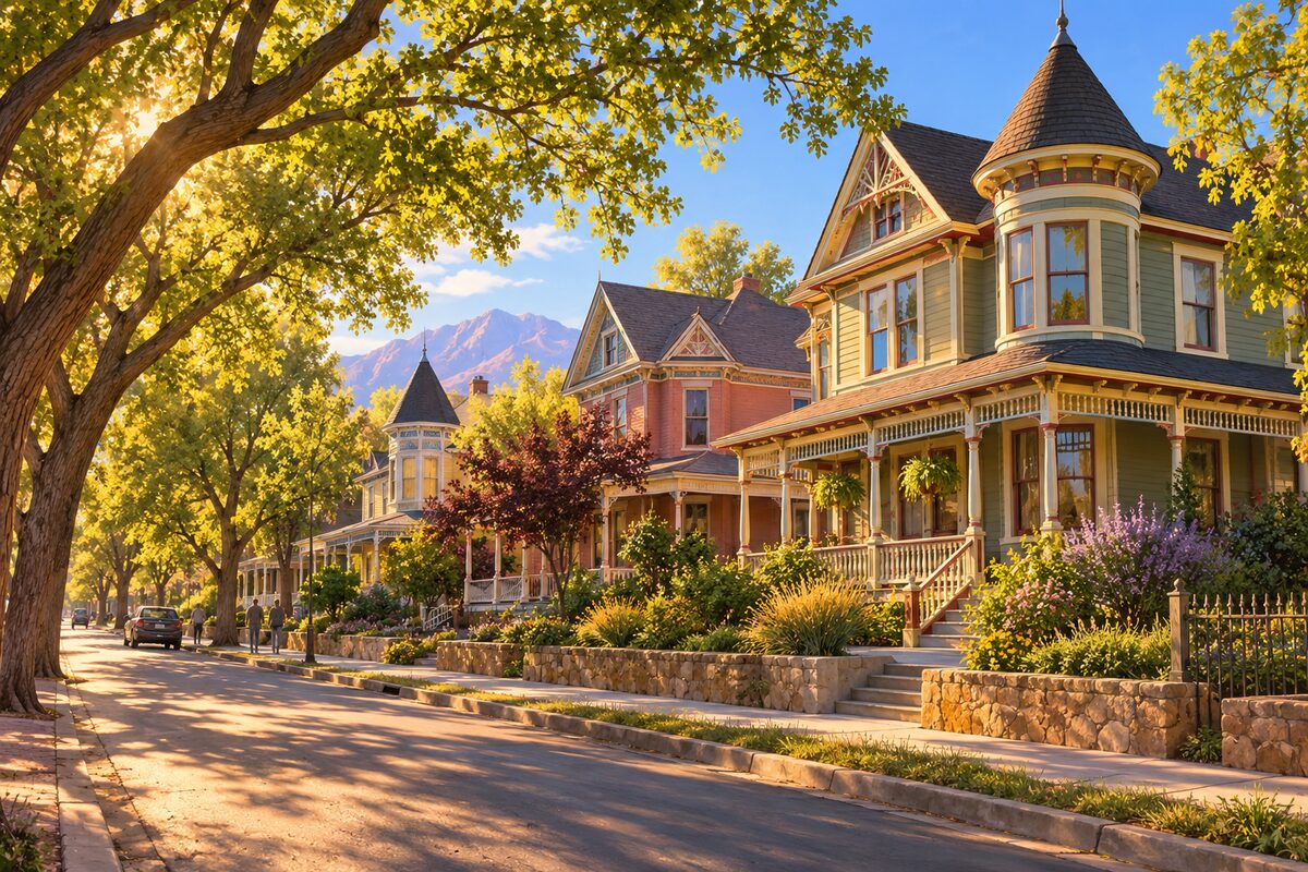
Huning Highlands Historic District
East of downtown; Victorian houses of the city's first addition, platted in 1880 when the railroad came
Walk the streets east of the tracks and pick out the Queen Anne, Italianate and Prairie houses.
More of the top sights
A few of the 28 places in the full guide. Each one has its own written guide in the app: what to do, what to notice, the history, and why it hits.
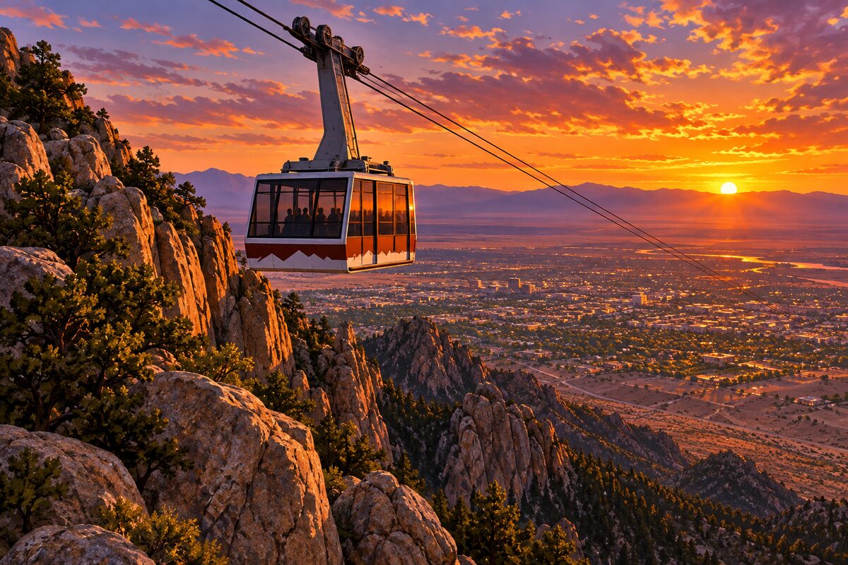
Sandia Peak Tramway
Northeast Albuquerque; 2.7-mile tram ride of 15 minutes to 10,378 feet, opened in 1966
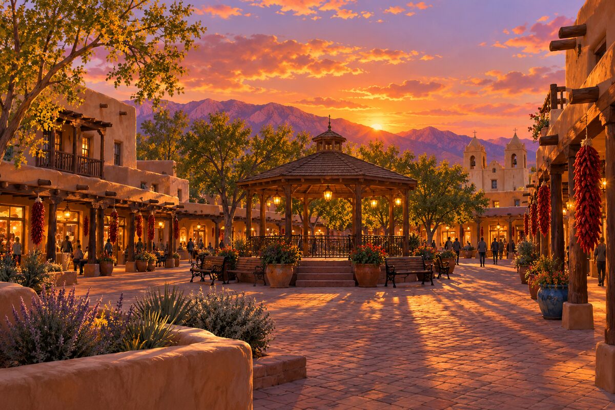
Old Town Plaza
Old Town; plaza of the 1706 villa, ringed by about ten blocks of one- and two-story buildings
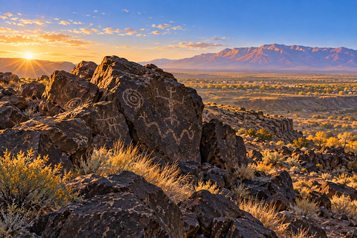
Petroglyph National Monument
West Mesa; 17 miles of volcanic escarpment with about 24,000 images carved by Pueblo ancestors
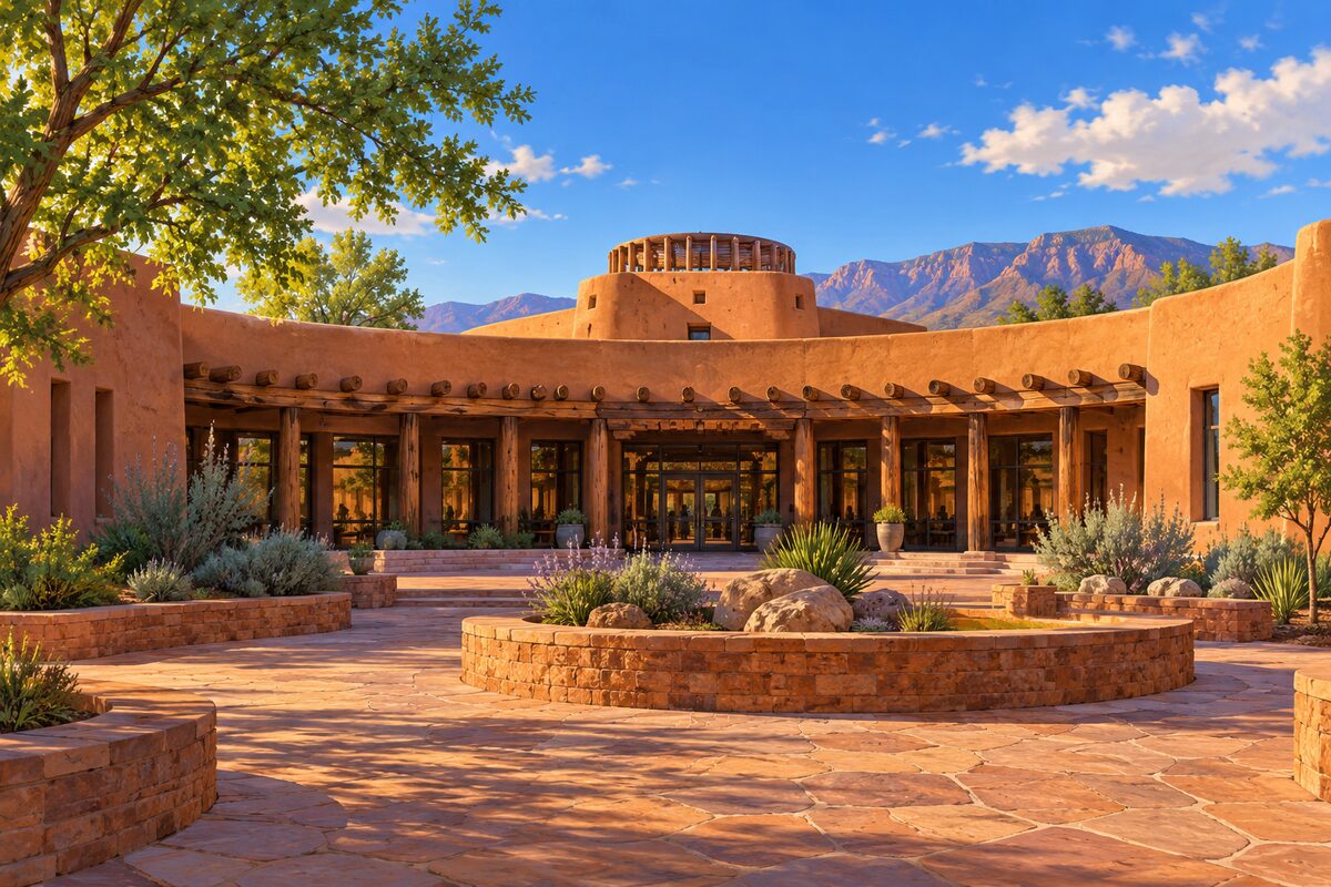
Indian Pueblo Cultural Center
Albuquerque; museum and cultural center owned and run by the 19 Pueblos of New Mexico since 1976
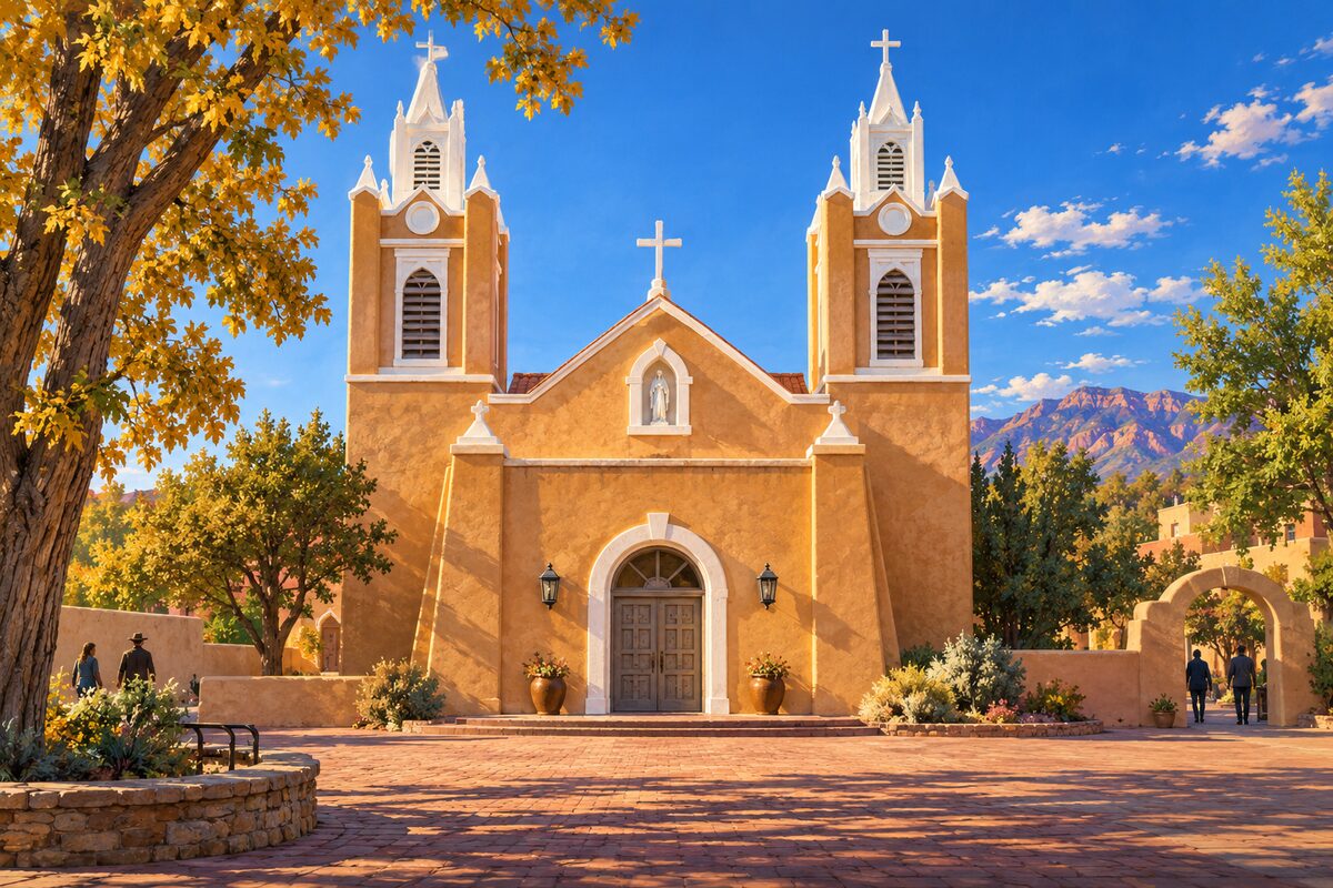
San Felipe de Neri Church
North side of Old Town Plaza; adobe church of 1793 with twin towers, still a working parish
Areas
Old Town · BioPark · Downtown · Route 66 · UNM · Uptown · West Mesa and Sandias
Illustrations are drawn for the app. Place descriptions are written by hand and checked against a primary source; facts draw on Wikidata (CC0) and Wikipedia (CC BY-SA). Maps © OpenStreetMap contributors.