Guides · Acadia - Park Loop Road
Acadia - Park Loop Road
18 places · 3 areas · the first stage free, then $4.99 for the whole city · offline map 2.1 MB
Try it free
The first stage of Acadia - Park Loop Road is free
The map and every stage title are open; the first stage opens with its full guide. Unlock the drive for the rest.
The free first stage
9 of the highlights, 2 days, about 7.9 mi (13 km), planned by the app's own engine and shown here with their guide. In the app you choose your own.
Day 1 · ~5.0 mi (8.0 km)
1
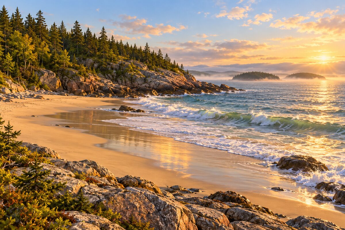
Sand Beach
Newport Cove off the one-way loop; a beach made mostly of shell, between Great Head and the Beehive
Walk down to the beach, dip a toe in the cold Gulf of Maine, and look out to the ledge called Old Soaker breaking the surf.
2
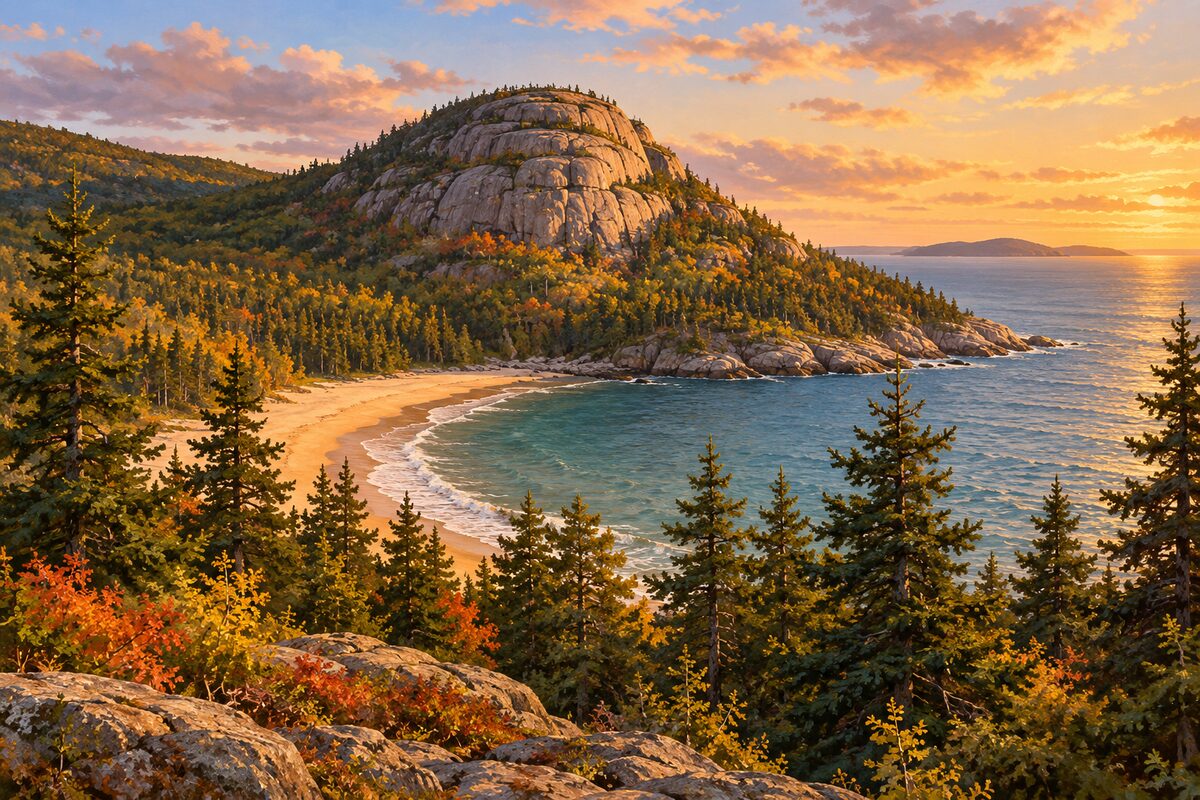
The Beehive
behind Sand Beach; 520-foot granite dome climbed by rungs and ladders
Look up at the dome from the Sand Beach lot; if you are fit and dry-footed, climb the 1.4-mile loop with its iron rungs and ladders and look straight down onto the beach.
3
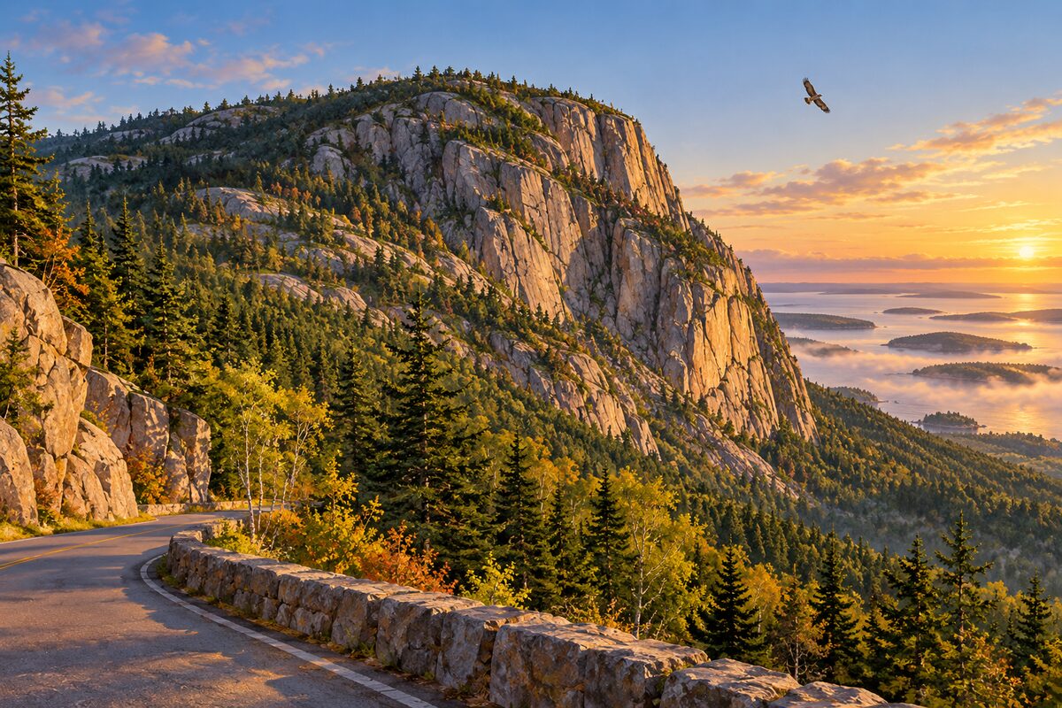
Champlain Mountain
Park Loop Road; 1,058-foot peak above the east shore, with the iron-rung Precipice Trail on its face
Stop below the east face to look up at the cliff, and watch for peregrine falcons, which nest on these cliffs.

4
The Tarn
beside Route 3 south of Sieur de Monts; shallow pond between Dorr and Champlain Mountains, turning back into meadow
Walk the level Kane Path along the west shore, crossing the big stepping stones at the water's edge, and look for waterfowl and frogs.
5
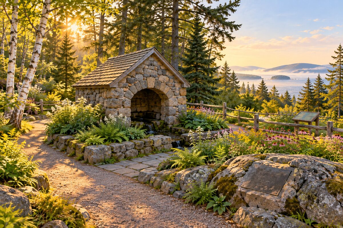
Sieur de Monts Spring
about two miles along the loop from Hulls Cove; the spring, nature center and Wild Gardens where Acadia began
See the spring under its Florentine-style canopy, then walk the Wild Gardens of Acadia, laid out to mimic the island's habitats; more than 70 bird species turn up here.
Day 2 · ~2.9 mi (4.7 km)
1
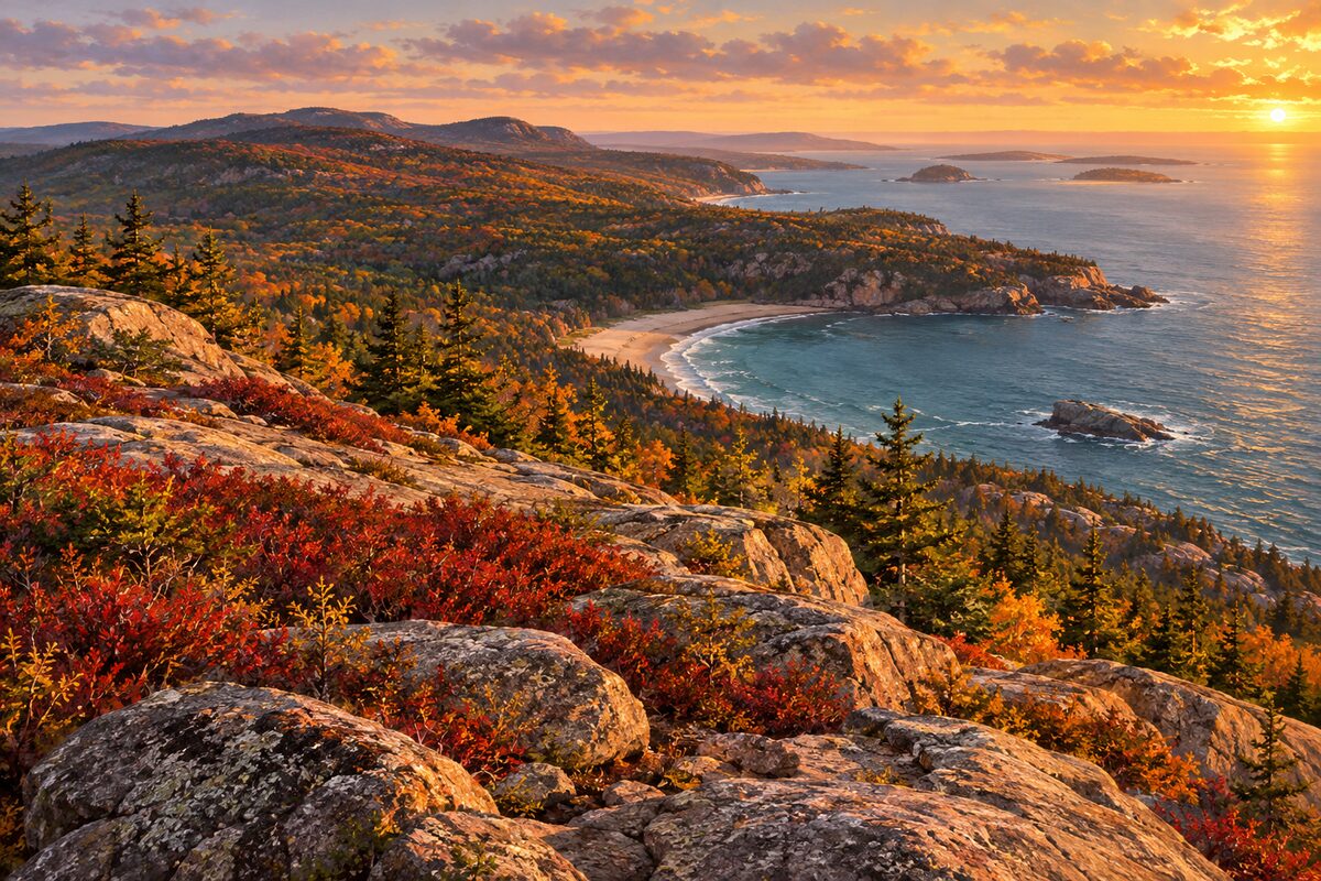
Gorham Mountain
0.3 mile past Thunder Hole; 525-foot ridge over Frenchman Bay, with old sea caves on the Cadillac Cliffs
Hike the open ridge for views over Frenchman Bay and the outer islands; take the Cadillac Cliffs side trail to see small sea caves cut when the sea stood about 250 feet higher.
2
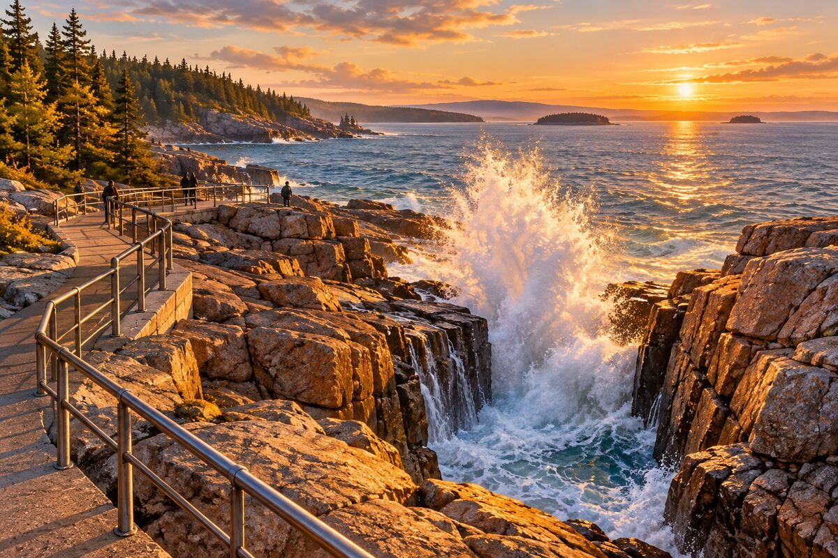
Thunder Hole
just under two miles past Sand Beach; carved inlet where trapped air booms as waves rush in
Arrive one to two hours before high tide and wait at the rail for a wave to slam into the inlet; at low tide, take the stairs down to see the carved walls.
3
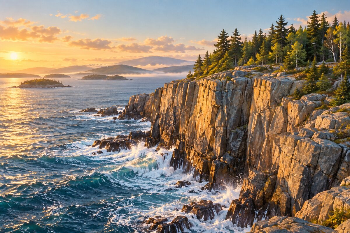
Otter Cliff
past Thunder Hole on Ocean Drive; pink granite sea cliff, a climbers' favorite
Walk out from the overlook for the view down the cliff to the sea, and watch climbers working up the pink granite.
4
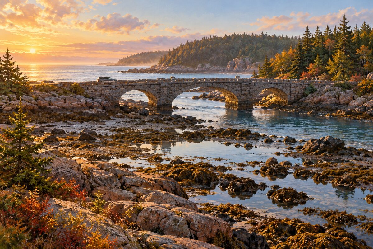
Otter Cove
end of Ocean Drive; the loop road crosses the cove on a stone causeway
Pull over at the cove and look back across the causeway toward the mountains, especially as the light drops.
More of the top sights
A few of the 18 places in the full guide. Each one has its own written guide in the app: what to do, what to notice, the history, and why it hits.
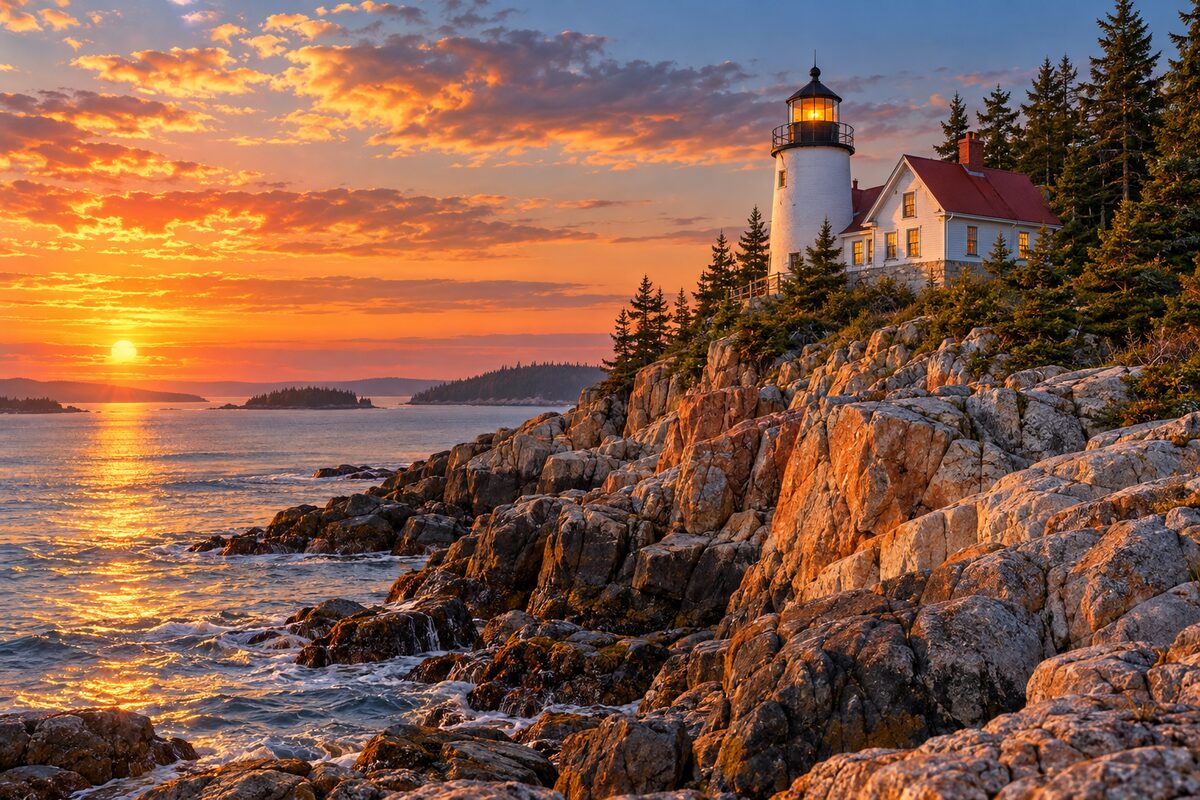
Bass Harbor Head Light
Tremont, at the island's southwest tip; 1858 lighthouse on a granite cliff above the harbor entrance

Cadillac Mountain
3.5-mile summit road off the loop; 1,530-foot top of the island, first sunrise in the country in autumn and winter
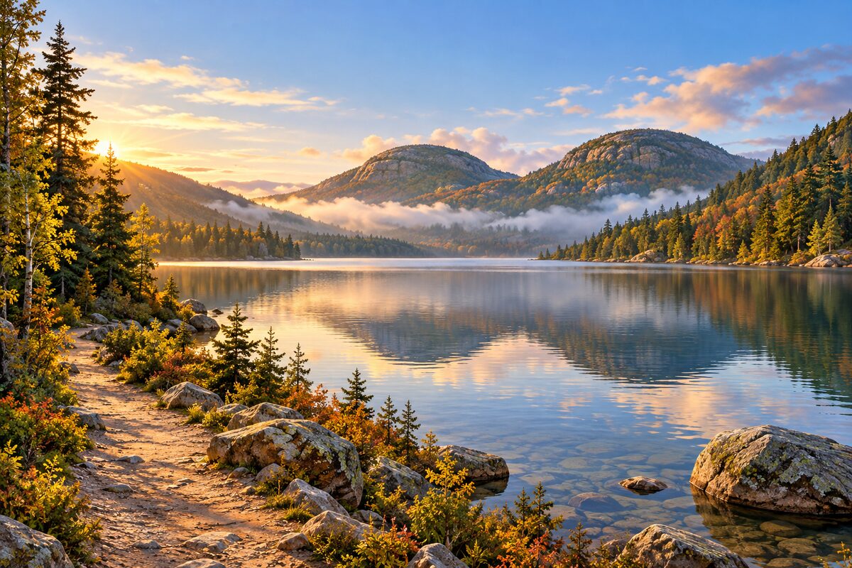
Jordan Pond
Park Loop Road near Seal Harbor; glacial pond of rare clarity below the two Bubbles
Areas
East Shore Loop · Jordan Pond and Cadillac · Quiet Side
Illustrations are drawn for the app. Place descriptions are written by hand and checked against a primary source; facts draw on Wikidata (CC0) and Wikipedia (CC BY-SA). Maps © OpenStreetMap contributors.